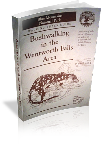
Bushwalking in the Wentworth Falls Area
Our review notes
Tracknotes
- Level of detail
- General route description
- Walk summaries
- No
- Grade system explained
- Yes
- Ascent/descent info
- No
- Driving directions
- No
- Review dates given
- No
- Interpretive info
- Some
Maps & photos
- Maps for walking
- Yes - limited detail
- Map type
- Sketch
- Map colour
- Black and White
- Map size
- Full page
- Regional map
- Yes
- Map comment
- A3 lift-out map of area, proding basic information for walk. Additional maps would be required.
- Photos
- None
- Photo comment
- Pictograms of flora and fauna.
List of walks in this book
| Walk Name | Length | Time | Grade | Page |
|---|---|---|---|---|
| Short Cut Track | 20 mins | Easy | 6 | |
| Overcliff-Undercliff Track | 2 hrs | Easy | 6 | |
| Weeping Rock | 1 Hr | Easy | 7 | |
| Den Fenella Track | 1 hr 30 mins | Medium | 7 | |
| Princes Rock | 30 mins | Easy - some steps | 8 | |
| Rocket Point Lookout | 1 Hr | Medium | 8 | |
| Nature Track | 3 hrs | Medium | 9 | |
| Darwins Walk | 2 hrs | Easy | 9 | |
| National Pass | 4 hrs | Hard | 10 | |
| Wentworth Pass | 5 hrs | Hard | 11 | |
| Vera Falls | 5 hrs | Hard - requires map reading skills | 11 | |
| Roberts Pass | Hard - requires map reading skills | 11 | ||
| Gladstone Pass | Hard - requires map reading skills | 11 |