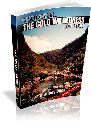
Discovering the Colo Wilderness on foot
About this book
Walking in Colo region
Our review notes
Tracknotes
- Level of detail
- Detailed route information
- Walk summaries
- No
- Grade system explained
- No
- Ascent/descent info
- No
- Driving directions
- Yes
- Review dates given
- No
- Alternate routes
- Some walks
- Interpretive info
- Plenty
Maps & photos
- Maps for walking
- Yes - limited detail
- Map type
- Sketch
- Map colour
- Black and White
- Map size
- Full page
- Regional map
- Yes
- Map comment
- Some maps are shared by a number of walks.
- Photos
- Black and White
- Photo comment
- There is an average of one photograph every four pages.
This book describes 20 bushwalks in Wollemi National Park, which is located north-west of Sydney. A central feature of the park is the Colo River which flows through more than 40 kms of rugged wilderness surrounded by huge sandstone cliffs. A number of the walks in the book describe the easier passes into the gorge, while others cover walks in the surrounding areas such as Putty, Mt Wilson, Newnes, and Rylstone. Some history and background of the area is provided as well as suggestions for extended walks, and details of equipment and techniques for bushwalking in the area.
List of walks in this book
| Walk Name | Length | Time | Grade | Page |
|---|---|---|---|---|
| Bob Turner's track | 7 km | 3 hrs | Easy | 23 |
| Mountain Lagoon (T3) Track | 5 km | 5 hrs | Easy | 24 |
| Colo-Meroo Trail | 23 km | 2 Days | Easy | 27 |
| Canoe Creek | 5.5 km | 1 Day | Medium | 29 |
| Crawford's Lookout | 8 km | 4 hrs | Easy | 32 |
| Crawford's Lookout to Boorai Creek | 20.5 km | 2 Days | Hard | 34 |
| Drip Rock | 32.5 km | 3 Days | Very Hard | 37 |
| Mellong Creek | 8 km | 3 hrs | Easy | 39 |
| Stony Waterhole to Wollemi Creek | 24.5 km | 2 Days | Medium | 41 |
| Wheeny Gap | 9.5 km | 5 hrs | Medium | 44 |
| Wollangambe River | 5 km | 1 Day | Easy | 47 |
| Deep Pass | 2.5 km | 2 Days | Easy | 50 |
| Glow Worm Tunnel from Zig Zag Railway | 9 km | 1 Day | Easy | 52 |
| Glow Worm Tunnel from Newnes Road | 9 km | 1 Day | Easy | 54 |
| Pipeline Track Lookout and Newnes Ruins | 8 km | 1 Day | Easy/Medium | 55 |
| Newnes to Glen Davies (Pipeline Track) | 20 km | 2 Days | Easy/Medium | 58 |
| Blackfellows Hand Cave | 3 km | 1 Hr | Easy | 59 |
| Kandos Weir | 4 km | 2 hrs | Easy/Medium | 60 |
| Mount Coricudgy | 18 km | 1 Day | Medium | 62 |
| Ferntree Gully | 1 Hr | Easy | 63 | |
| Mount Coricudgy to Putty | 65 km | 65 | ||
| Newnes to Colo Gorge | 45 km | 67 | ||
| Colo Gorge by Li-Lo | 55 km | 69 |