Discovering Yengo and Dharug National Park on foot
About this book
Walks in Yengo, Dharug and Popran National Parks
Our review notes
Tracknotes
- Level of detail
- Detailed route information
- Walk summaries
- No
- Grade system explained
- No
- Ascent/descent info
- No
- Driving directions
- Yes
- Review dates given
- No
- Alternate routes
- Some walks
- Interpretive info
- Some
Maps & photos
- Maps for walking
- Yes - limited detail
- Map type
- Sketch
- Map colour
- Black and White
- Map size
- Full page
- Map comment
- Maps are of varied size, appropriate to walk. A few maps are shared by two or three walks.
- Photos
- Black and White
- Photo comment
- On average, one photograph for every three pages.
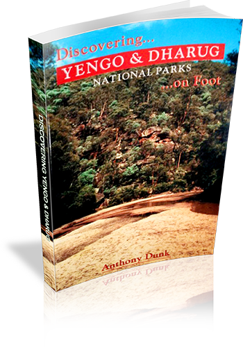
This book covers Yengo, Dharug, and Popran National Parks - a large area of rugged ridges, cliffs and sandy creeks north-west of Sydney. Its a great area for bushwalking, panoramic views, and mountain bike riding. A central feature of the area is the Macdonald River - a shallow, sandy stream which winds its way through more than 40 kilometres of wilderness (see cover picture). The parks also contain much aboriginal rock art and the fascinating, convict-built, Old Great North Road. There are over 20 walks each with sketch maps and photos. The walks range from easy strolls to multi-day wilderness treks. There's also sections giving driving instructions, park info, and equipment and navigation guidance (including GPS).
List of walks in this book
| Walk Name | Length | Time | Grade | Page |
|---|---|---|---|---|
| My Wareng (Little Yengo) | 8.5 km | 4 hrs | Easy | 28 |
| Howes Valley Creek | 24 km | 2 Days | Easy | 31 |
| Mt Yengo | 15 km | 6 hrs | Easy | 32 |
| Wallaby Swamp to MacDonald River | 13 km | 1 Day | Medium | 34 |
| Howes Range Trig | 22 km | 1 Day | Medium | 37 |
| Circuit Flat Bridge | 4 km | 1 hr 30 mins | Easy | 39 |
| Norther Section of Great North Road | 20 km | 6 hrs | Easy | 41 |
| Devils Rock (Burragurra) | 500 m | 1 Hr | Easy | 44 |
| Bala Range to Macdonald River | 8 km | 4 hrs | Medium | 46 |
| Womerah Range | 45 km | 2 Days | Medium | 49 |
| Old Great North Road (Devines Hill) | 2 km | 1 Hr | Easy | 53 |
| Devines Hill to Finches Ascent | 11 km | 5 hrs | Easy | 55 |
| Shepherds Gully | 4.5 km | 2 hrs | Easy | 56 |
| Western Commission (WBD) Track | 10 km | 2 hrs 30 mins | Easy | 57 |
| Grass Tree Circuit | 2 km | 1 Hr | Easy | 58 |
| Mill Creek Circuit | 11 km | 4 hrs | Easy | 58 |
| Eastern Commission Track | 14.5 km | 5 hrs | Easy | 60 |
| Ten Mile Hollow via Dubbo Gully Track | 22 km | 7 hrs | Easy/Medium | 62 |
| Simpson Track | 14 km | 5 hrs | Easy | 65 |
| Wisemans Ferry to Clares Bridge | 37 km | 2 Days | Medium | 67 |
| Emerald Pool and 248 Track | 10.5 km | 5 hrs | Easy | 70 |
| Popran Track | 4 km | 2 hrs | Medium | 72 |
| Cascade Gully | 3 km | 2 hrs | Medium | 74 |
| Big Jims Point | 8 km | 3 hrs | Easy | 75 |
| Wisemans Ferry to Bucketty | 40 km | 2 Days | Easy/Medium | 77 |
| Howes Range to Bala Range | 40 km | 3 Days | Hard | 77 |
| MacDonald River | 50 km | 4 Days | Medium | 79 |