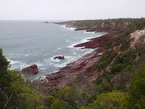
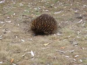
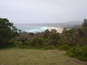
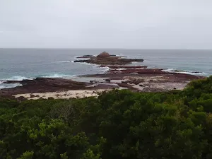
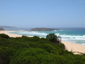
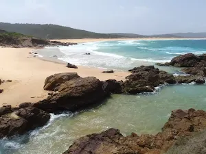
Haycock Point


(0km) Barmouth Beach car park → Int. Barmouth Beach and Haycock Point Trks
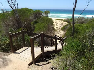
(0km) Int. Barmouth Beach and Haycock Point Trks → Barmouth Beach
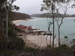
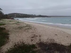
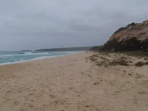
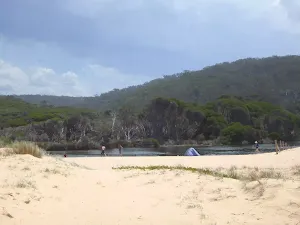
Barmouth Beach
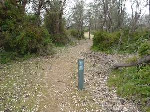
(0km) Int. Barmouth Beach and Haycock Point Trks → Arched Rock Lookout
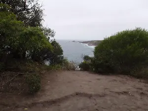
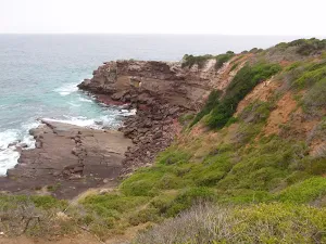
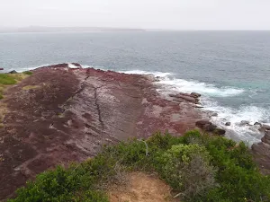
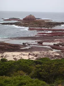
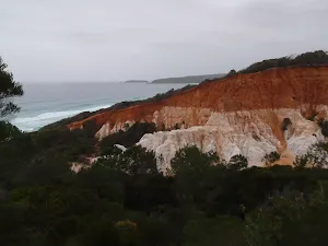
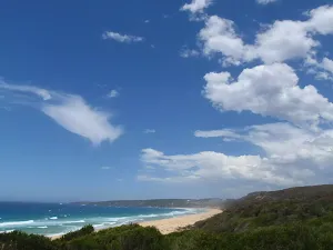
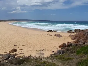
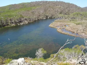
Arched rock lookout
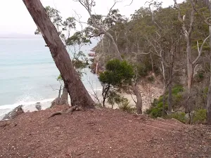
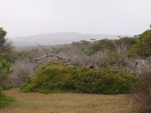
(1km) Arched Rock Lookout → Haycock Point
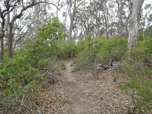
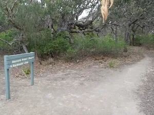
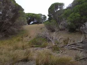
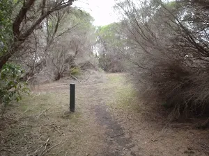
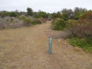
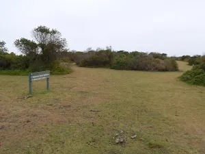
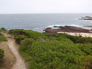
Turn left: From the intersection, the walk heads in the opposite direction to the 'Barmouth 2.4km' sign[3], up the slight hill. The track continues to follow the arrow signs through the low heath and grass, out to the point on the edge of the headland.
Haycock Point
Maps for the Haycock Point walk
You can download the PDF for this walk to print a map.
These maps below cover the walk and the wider area around the walk, they are worth carrying for safety reasons.
| Pambula | 1:25 000 Map Series | 88242S PAMBULA | NSW-88242S |
| Bega | 1:100 000 Map Series | 8824 BEGA | 8824 |
Cross sectional view of the Haycock Point bushwalking track
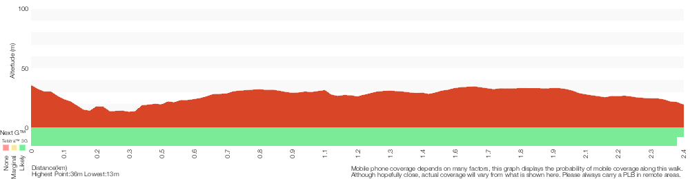
Analysis and summary of the altitude variation on the Haycock Point
Overview of this walks grade – based on the AS 2156.1 – 2001
Under this standard, a walk is graded based on the most difficult section of the walk.
| Length | 4.8 km | ||
| Time | 2 hrs | ||
| . | |||
Grade 4/6 Hard track | AS 2156.1 | Gradient | Short steep hills (3/6) |
| Quality of track | Rough track, where fallen trees and other obstacles are likely (4/6) | ||
| Signs | Directional signs along the way (3/6) | ||
| Experience Required | No experience required (1/6) | ||
| Weather | Weather generally has little impact on safety (1/6) | ||
| Infrastructure | Limited facilities, not all cliffs are fenced (3/6) |
Some more details of this walks Grading
Here is a bit more details explaining grading looking at sections of the walk
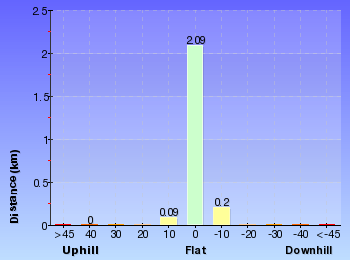
Gradient
Around 1.9km of this walk has gentle hills with occasional steps, whilst the remaining 530m has short steep hills.
Quality of track
Around 1.9km of this walk follows a rough track, where fallen trees and other obstacles are likely, whilst the remaining 530m follows a formed track, with some branches and other obstacles.
Signs
This whole walk, 2.4km has directional signs at most intersection.
Experience Required
This whole walk, 2.4km requires no previous bushwalking experience.
weather
This whole walk, 2.4km is not usually affected by severe weather events (that would unexpectedly impact safety and navigation).
Infrastructure
This whole walk, 2.4km has limited facilities (such as not all cliffs fenced).
Similar walks
A list of walks that share part of the track with the Haycock Point walk.
Barmouth Beach
360 m Return, 15 mins
Hard track
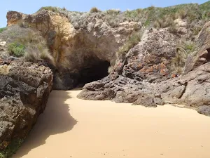
Rock Arch
1.1 km Return, 30 mins

Moderate track
Other Nearby walks
A list of walks that start near the Haycock Point walk.
Severs Beach
1.4 km Return, 30 mins

Easy track
Pinnacles car park to Long Beach
702 m Return, 20 mins
Hard track
The Pinnacles Loop
1.1 km Circuit, 30 mins
Moderate track
North Tura Lookout
124 m Return, 5 mins
Very easy
North Tura Beach
316 m Return, 10 mins
Moderate track
North Tura Beach loop
471 m Circuit, 15 mins
Moderate track
North Tura Beach to Bournda Lagoon
3.5 km One way, 1 hr 15 mins
Hard track
North Tura car park to Bournda Island
2.3 km Return, 45 mins
Hard track
Bournda Lagoon
286 m Return, 5 mins
Moderate track
Bournda Lagoon car park to Bournda Island
2.1 km Return, 45 mins
Hard track
Bournda Lagoon to North Tura
1.8 km One way, 45 mins
Moderate track
Bournda Lagoon lookout
482 m Return, 12 mins
Hard track
Plan your trip to and from the walk here
The Haycock Point walk starts and ends at the Barmouth Beach car park (gps: -36.948050, 149.92376)
Weather Forecast
This walk starts in the South Coast weather district.
Current Alerts
Park Information
Ben Boyd National Park
Ben Boyd National park is on the NSW South Coast, near Eden. The park was named and established in 1971, in the honour of Benjamin Boyd (1801-1851). Ben Boyd National park protects a wonderful section of coast line from Pambula to Green Cape, split into two distinct sections, one north of Eden and the other south. The park is well known for its contrasting red rocks, whale sighting, Boyd Tower, Green Cape Lighthouse and associated history. Ben Boyd National park offers some great insights into recent European history, Indigenous occupation and natural history. The park provides two campsites some other great recreational experiences.
Comments
Short URL: http://wild.tl/hp