Hornsby Blue Gum Walk
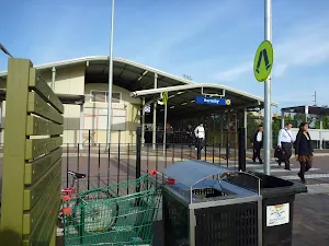
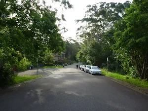


(0km) Hornsby Train Station → Int of Quarry Road and Great North Walk
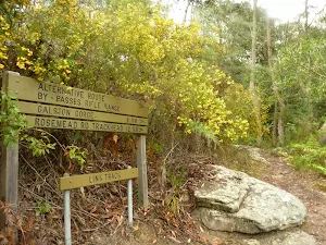
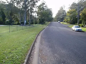
Continue straight: From the intersection, this walk follows Quarry Road down the gentle hill, leaving the houses[11][12] behind to come to an intersection with a track, signposted with a 'Great North Walk' sign[13] (on your left).
(1km) Int of Quarry Road and Great North Walk → Berowra Valley Bushland Park
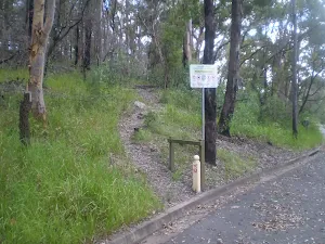
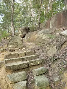
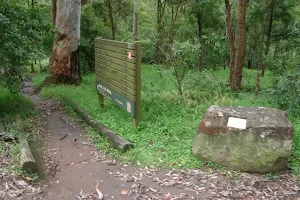
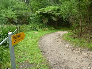
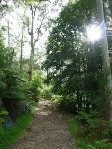
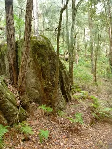
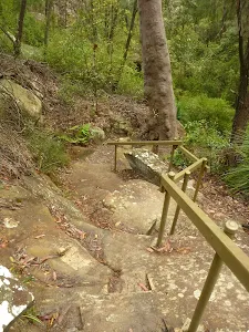
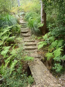
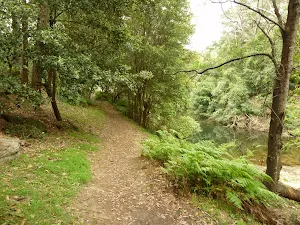
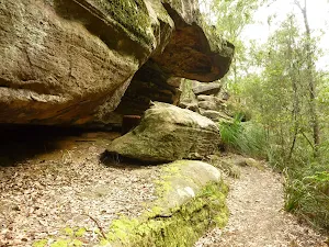
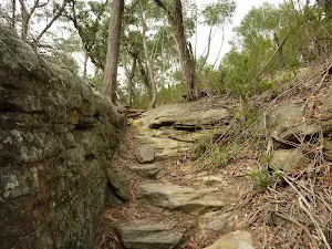
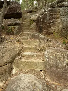
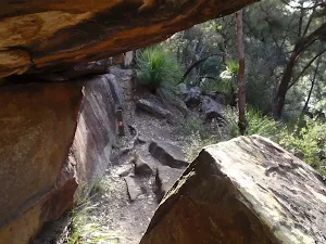
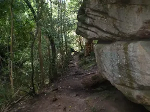
Continue straight: From the intersection, this walk follows the 'Great North Walk' sign[16] down the steep rock steps[17]. The walk winds steeply down a number of sets of stone steps, passing some large rock walls for a bit over 100m, to find a welcome flat section of track[18] midway the hill. As the track leads past some houses (through the trees on your left), this walk heads down more steps[19] before coming to the open area of 'Berowra Valley Bushland Park'[20][21], at the end of Rosemead Road[22].
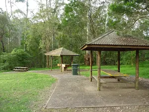
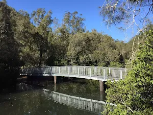
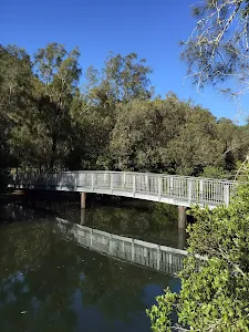
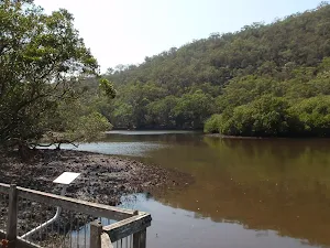
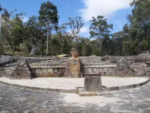
Berowra Valley Bushland Park

(1km) Berowra Valley Bushland Park → Int of Blue Gum Walk and Joes Mountain Service Trail
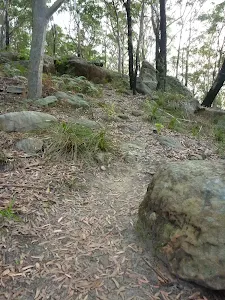
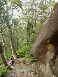
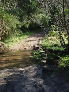
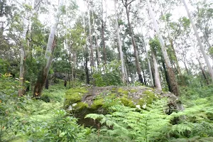
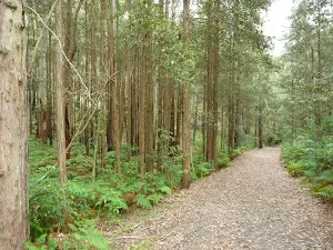
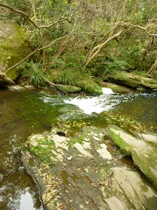
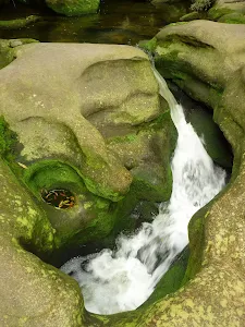
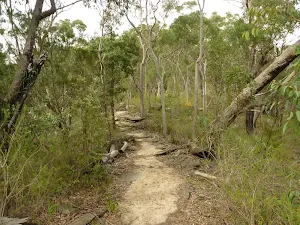
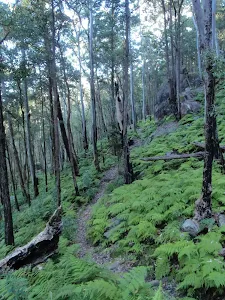
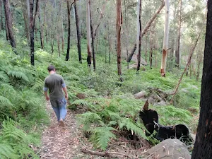
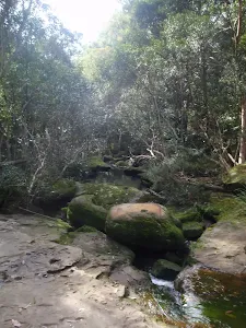
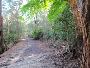
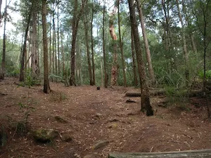
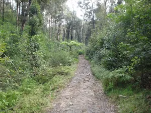
Veer right: From the intersection, this walk heads downhill along the wide rocky management trail[35] as it bends left (and passing some houses off to the left). The trail then bends right[36] and leads across Old Mans Creek using some concrete stepping stones[37]. The walk then continues by heading up the moderately steep hill and then through a thick blue gum and bracken fern forest[38]. The wide trail leads to the top of the hill then bends left, (ignoring the track on the right[39]) to pass over a saddle[40]. Here the trail leads down the gentle hill[41], through the turpentine forest for just over 300m to find an intersection with narrower track on the right, marked with arrow posts[42].
(2km) Int of Blue Gum Walk and Joes Mountain Servicetrail → Joes Mountain Lookout
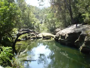
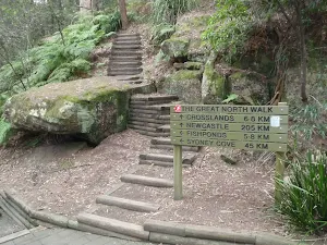
(2km) Int of Blue Gum Walk and Joes Mountain Service Trail → Fishponds Lookout
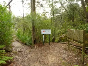
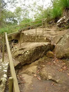
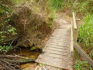
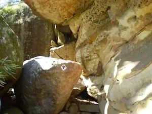
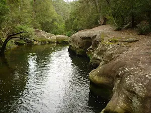
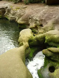
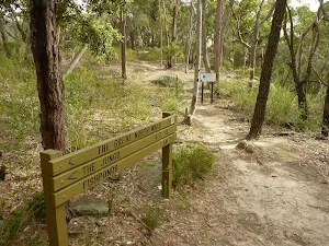
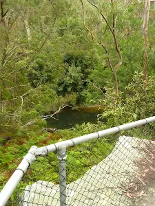
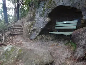
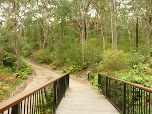
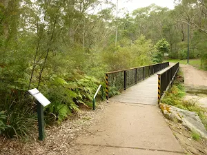
Continue straight: From the intersection, this walk follows the 'Fishponds' sign[45] along the flat narrow track past the 'Berowra Valley Regional Park' sign[46]. The track soon bends left (passing along the top of an unfenced cliff) then winds down some steep carved rock steps (with a hand rail)[47]. The rocky track then leads down along the side of the valley for just over 100m to cross a timber foot bridge[48]. The track then continues for another 70m to find a fenced rock platform[49] and signposted intersection[50].
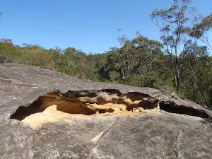
Fishponds Lookout
(2km) Fishponds Lookout → Int of the Great North Walk and the Blue Gum Walk (SW)
(3km) Int of the Great North Walk and the Blue Gum Walk (SW) → Int of Blue Gum Walk at bottom of wooden steps
Continue straight: From the intersection, the walk follows the bush track south, keeping the valley down to the left. The track winds along the side of the hill until coming down a set of wooden steps to the 'T' intersection at the top of the concrete section of management trail.
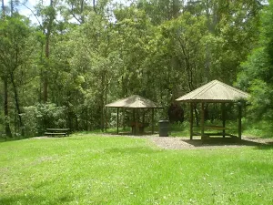
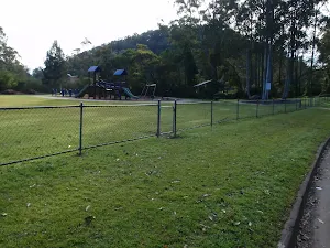
(4km) Int of Blue Gum Walk at bottom of wooden steps → Ginger Meggs Park
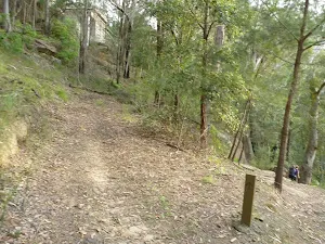
Continue straight: From the intersection, this walk follows the more defined management trail down the hill, following the Blue Gum Walk marker. The trail meanders down the spur until a sharp left turn, shortly after which the walk comes to an intersection with a bush track (on the right) where there is another Blue Gum Walk marker.
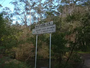
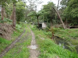
Continue straight: From the intersection, the old management trail heads down the hill and follows Waitara Creek past a small pipeline on the left and a few houses on the right, until coming to an intersection with another management trail from the left - this intersection is marked with a Blue Gum Walk post.
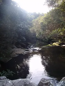
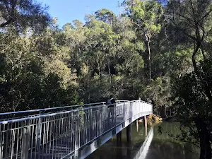
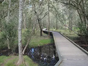
Continue straight: From the intersection, this walk heads north, down the hill with the creek on the right, to the intersection just before the causeway over Waitara Creek. There are usually ducks and brush turkeys in this area.
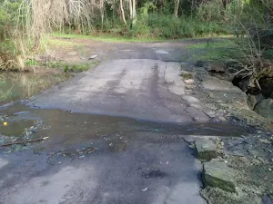
Turn right: From the intersection, this walk follows the management trail across Waitara Creek and up the hill, passing around the gate before arriving on Valley Road, at the lower corner of Ginger Meggs Park.
(5km) Ginger Meggs Park → Hornsby Train Station
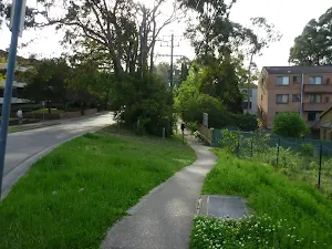
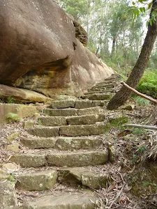
Veer right: From the lower side of 'Berowra Valley Bushland Park'[75], this walk follows the 'Hornsby Station' sign[76] across the park, then follows the GNW arrow[77] up the stone steps, keeping the houses to your right. The walk winds steeply up the steps[78], leaving the view of the house and finding a welcome flat section of track[79] midway up. The steps then lead more steeply up[80] the side of the valley, along the sheer rock walls for about 100m, and come to an intersection with the Quarry Road management trail, where a 'Great North Walk' sign[81] points back down the the hill.
Continue straight: From the intersection, this walk follows the GNW arrow post up a couple of timber steps[82] and then follows the track as it winds up over the gentle rise. Once over the rise, the track then leads down to the intersection with Quarry Rd, where a 'Great North Walk' sign[83] points back up the track.
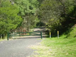
Turn right: From the intersection, this walk follows Quarry Road gently uphill away from the face of the 'Great North Walk' sign[84] until just past a couple of house, this walk comes to an intersection with the gated 'Old Mans Valley' management trail[85] (on your left).
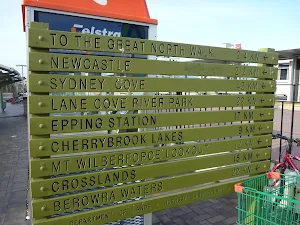
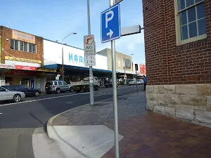
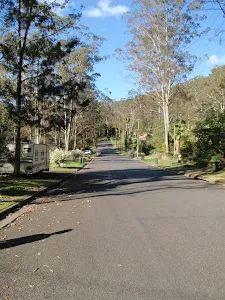
Continue straight: From the intersection, this walk follows Quarry Rd up the gentle hill[86] for about 180m, then follows the GNW arrow[87] left onto Dural St[88]. The footpath leads past the unit block, then past a few shops to come to an intersection with the Pacific Hwy. Following the GNW arrow, this walk turns right across 'Dural St'[89], passes a few more shops, then crosses 'Dural Lane'[90] before turning left across the Pacific Hwy at the traffic lights[91]. Here the walk continues straight across the 'Station St' pedestrian crossing[92], past the large 'Great North Walk' sign[93] and across the bus lane to the western entrance of Hornsby Station[94].
Maps for the Hornsby Blue Gum Walk walk
You can download the PDF for this walk to print a map.
These maps below cover the walk and the wider area around the walk, they are worth carrying for safety reasons.
| Hornsby | 1:25 000 Map Series | 91304S HORNSBY | NSW-91304S |
| Sydney | 1:100 000 Map Series | 9130 SYDNEY | 9130 |
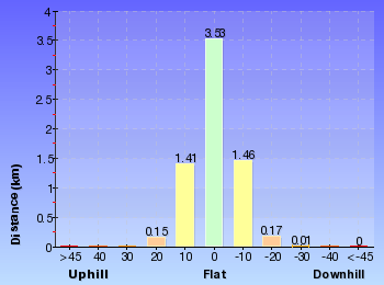
Cross sectional view of the Hornsby Blue Gum Walk bushwalking track
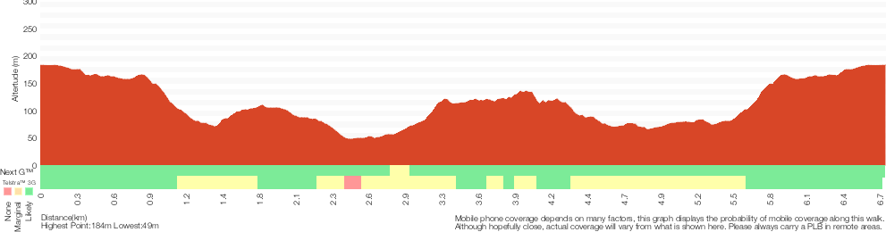
Analysis and summary of the altitude variation on the Hornsby Blue Gum Walk
Overview of this walks grade – based on the AS 2156.1 – 2001
Under this standard, a walk is graded based on the most difficult section of the walk.
| Length | 6.7 km | ||
| Time | 3 hrs | ||
| . | |||
Grade 4/6 Hard track | AS 2156.1 | Gradient | Very steep (4/6) |
| Quality of track | Formed track, with some branches and other obstacles (3/6) | ||
| Signs | Directional signs along the way (3/6) | ||
| Experience Required | Moderate level of bushwalking experience recommended (4/6) | ||
| Weather | Storms may impact on navigation and safety (3/6) | ||
| Infrastructure | Limited facilities, not all cliffs are fenced (3/6) |
Some more details of this walks Grading
Here is a bit more details explaining grading looking at sections of the walk
Gradient
3.3km of this walk has gentle hills with occasional steps and another 1.7km is very steep. Whilst another 1.4km has short steep hills and the remaining 360m is flat with no steps.
Quality of track
3km of this walk follows a formed track, with some branches and other obstacles and another 2.3km follows a clear and well formed track or trail. The remaining (1.5km) follows a smooth and hardened path.
Signs
Around 3.9km of this walk has directional signs at most intersection, whilst the remaining 2.9km is clearly signposted.
Experience Required
4.1km of this walk requires no previous bushwalking experience and another 1.6km requires some bushwalking experience. The remaining (990m) requires a leader a with moderate level of bushwalking experience.
weather
Around 6km of this walk is not usually affected by severe weather events (that would unexpectedly impact safety and navigation), whilst the remaining 990m is affected by storms that may impact your navigation and safety.
Infrastructure
Around 3.7km of this walk is close to useful facilities (such as fenced cliffs and seats), whilst the remaining 3km has limited facilities (such as not all cliffs fenced).
Similar walks
A list of walks that share part of the track with the Hornsby Blue Gum Walk walk.
Blue Gum Walk (Joe's Mountain Circuit)
4.2 km Circuit, 2 hrs
Hard track
Hornsby to Fishponds
5.6 km Return, 2 hrs 30 mins
Hard track
Wareemba Ave to Thornleigh Station
8.6 km One way, 3 hrs 45 mins
Hard track
Cherrybrook to Hornsby via Fishponds
9 km One way, 3 hrs 45 mins
Hard track
Hornsby to Galston Gorge
9.7 km One way, 4 hrs
Hard track
Thornleigh to Hornsby
10.2 km One way, 4 hrs

Hard track
Thornleigh to Galston Gorge
15.5 km One way, 6 hrs
Hard track
Hornsby station to Crosslands
16.1 km One way, 6 hrs 45 mins
Hard track
Epping to Hornsby Station
17.5 km One way, 6 hrs 45 mins
Hard track
Eastwood to Hornsby
20.6 km One way, 8 hrs
Hard track
Hornsby to Mt Kuring-gai
22.3 km One way, 9 hrs
Hard track
Berowra to Hornsby
22.6 km One way, 9 hrs 18 mins
Hard track
Gordon to Hornsby (overnight at Scout camp)
25.8 km One way, 2 Days

Hard track
Thornleigh to Mt Kuring-Gai
28.1 km One way, 2 Days
Hard track
Thornleigh to Cowan
35.9 km One way, 2 Days
Hard track
Hornsby to Brooklyn three day walk
43.1 km One way, 3 Days
Hard track
Circular Quay to Hornsby
44.4 km One way, 3 Days

Hard track
Other Nearby walks
A list of walks that start near the Hornsby Blue Gum Walk walk.
Clarinda St dog walking trail
499 m One way, 15 mins
Easy track
Gibberagong Track
6.5 km One way, 2 hrs 30 mins
Hard track
Wahroonga to Mt Kuring-gai
14.7 km One way, 5 hrs 30 mins
Hard track
Refuge Rock and Natural Arch
1.4 km Return, 30 mins
Moderate track
Elouera Lookout
828 m Return, 30 mins
Moderate track
Daphne Place dog walking trail
515 m One way, 15 mins
Moderate track
Warrimoo Track to Bobbin Head
6.2 km One way, 2 hrs 45 mins

Moderate track
Warrimoo Track to the Sphinx
3.4 km One way, 1 hr 30 mins
Moderate track
Thornleigh to Marsfield
6.1 km One way, 2 hrs 30 mins
Hard track
Stringybark Ridge and Zig Zag Creek loop from Thornleigh Station
6.6 km Circuit, 2 hrs 30 mins

Hard track
Bellamy fire trail
619 m One way, 30 mins
Moderate track
Bellamy St to De Saxe Cl dog walking trail
529 m One way, 15 mins
Moderate track
Plan your trip to and from the walk here
The Hornsby Blue Gum Walk walk starts and ends at the Hornsby Train Station (gps: -33.703509, 151.09801)
Weather Forecast
This walk starts in the Metropolitan weather district.
Current Alerts
Park Information
Berowra Valley National Park
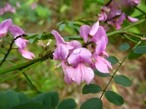
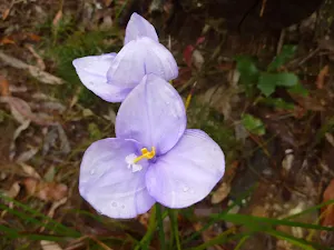
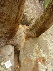
Following the Berowra Creek the Berowra Valley National Park is located on the Hornsby Plateau and is made up of typical Hawkesbury Sandstone. The great North walk, Benowie walking track, and many other great walks stretch spann this park. The area has varied vegetation including many different sorts of Eucalyptus and plenty of native animals, includingl swamp wallibies, water dragons, bandicoots, Lyre Birds, and bush turkeys. There are several campsites within the Park, and Crosslands Reserve is also a popular spot near the middle of the park.
Dog Pound Creek Reserve
Dog Pound Creek reserve is managed by Hornsby Council and is home to a spectatular native Blue Gum stand. The valley has a number of walks and creeks running through it and joins Westleigh, Thronleigh and Hornsby. The reserve is named after a creek that runs from the former dog pound that was on Warrigal Dr, Westleigh.
Manor Road Bushland
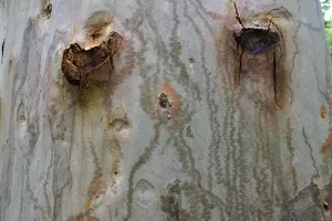
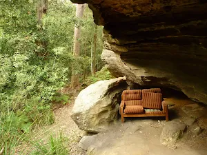
Manor Road Bushland is a small parcel of natural bushland between Manor road and the Hornsby quarry. The blue Gum walk and the Great North walk Hornsby track head pass through the section of land where there are some wonderful tall Blue gums and Black Buts. There is also a lovely array of ferns and Turpentine trees.
Comments
Short URL: http://wild.tl/hbgw