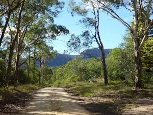
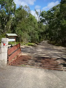
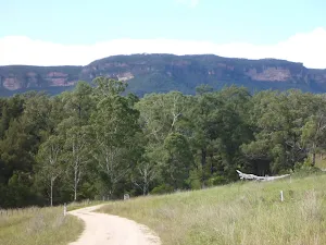
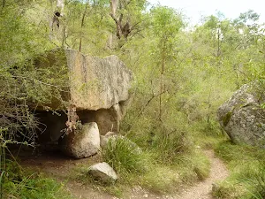
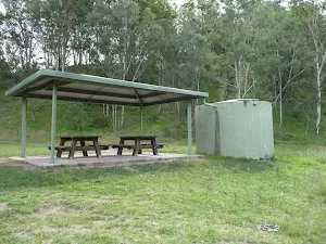
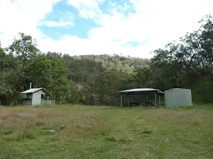
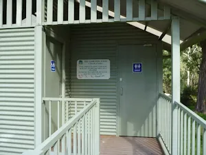
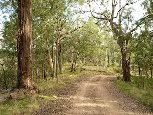
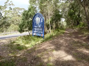
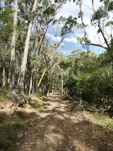
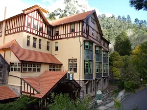
Six Foot Track (Alum Creek Reserve)
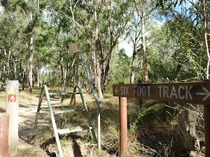
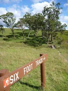
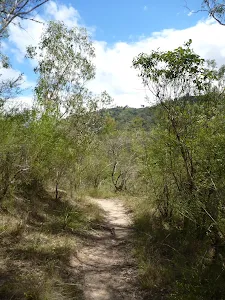
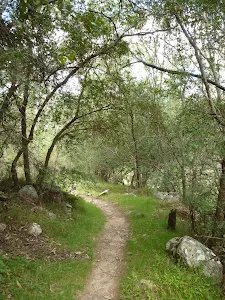
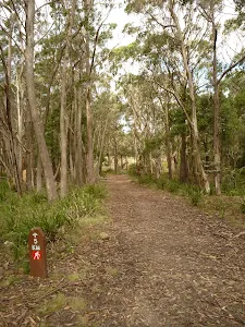
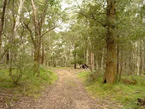
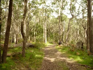
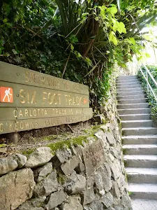
Six Foot Track
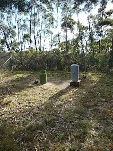
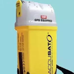
Free Beacon Hire
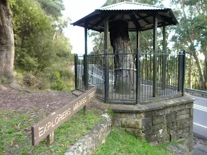
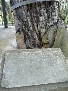
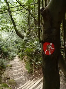
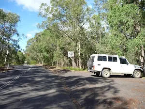
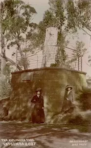
Explorers Tree (Katoomba)
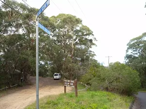
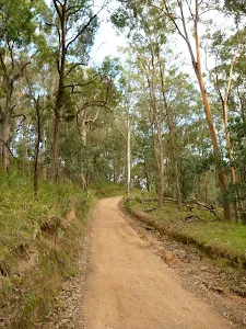
(0km) Explorers Tree → Six Foot Track Info Shelter
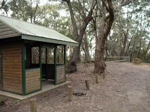
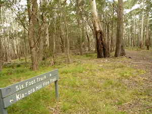
(0km) Six Foot Track Info Shelter → Int of 6 Foot Track and Norths Lookout Trail
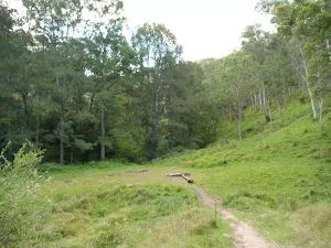
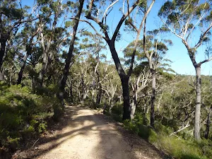
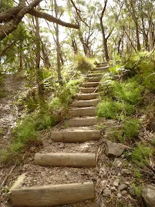
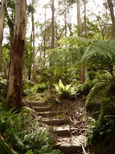
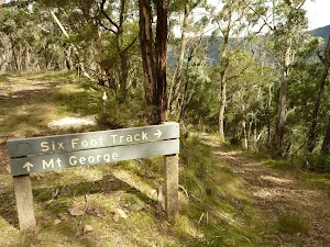
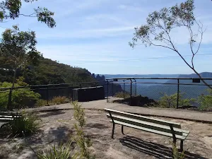
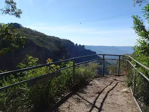
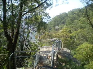
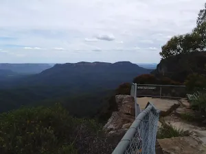
(1km) Int of 6 Foot Track and Norths Lookout Trail → Norths Lookout
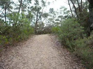
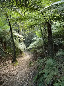
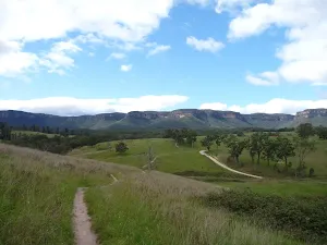
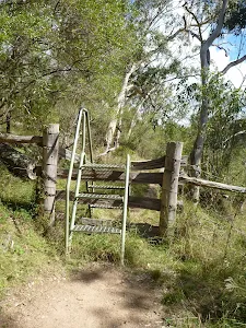
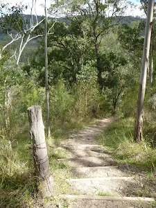
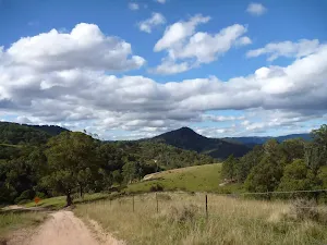
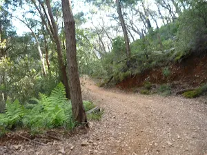
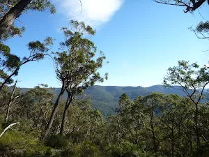
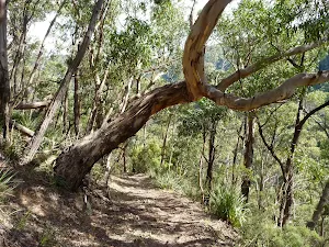
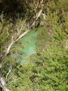
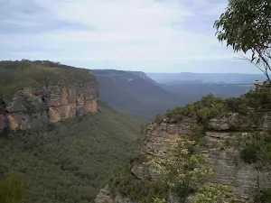
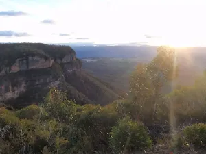
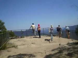
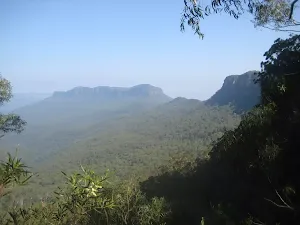
Continue straight: From the intersection, this walk follows the track downhill towards the open views[19]. After about 50m the track comes to the fenced[20] and signposted 'Norths Lookout'[21] with great views over Nellie's Glen and into the valley[22]. At the end of this side trip, retrace your steps back to the main walk then Veer left.
(1km) Int of Six Foot Track and Norths Lookout Trail → Int at Lower Nellies Glen
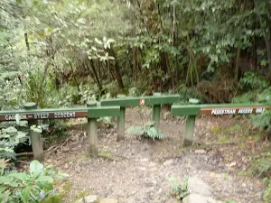
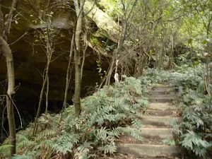
(2km) Int at Lower Nellies Glen → Int of Nellies Glen Rd Trail and Devils Hole Trail
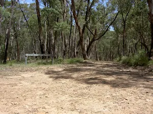
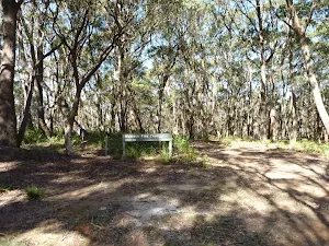
(4km) Int of Nellies Glen Rd Trail and Devils Hole Trail → Megalong Village site
Megalong Village (Historic)
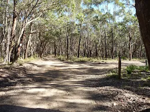
(5km) Megalong Village site → Int Mitchells Creek and Nellies Glen Rd trails
(6km) Intersection of Medlow Gap Management Trail and 6 Foot Track → Int of Six Foot Track and Megalong Rd
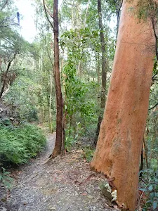
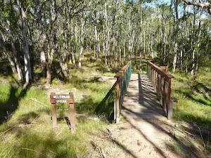
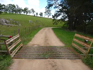
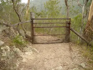
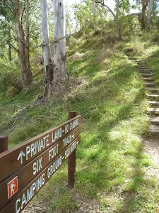
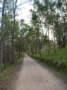
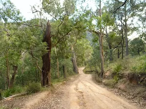
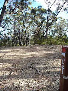
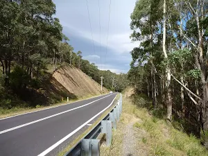
Continue straight: From the intersection, this walk follows the 'Six Foot Track' sign[63] over the fence using the stile[64]. A sign reminds walkers to stay on the track as this section is on private property[65]. The walk leads through mostly open farmland for 130m passing a 'Private Land No Camping' sign[66] to then cross Mitchells Creek[67], this creek may become impassable after heavy or prolonged rain. Over the next 300m the trail leads over a rise[68] through the farmland to then cross a fence using a stile on the right[69]. The track now leads through a denser forest for another 300m to cross 'McLennan Bridge'[70], named after Mr Michael (Mick) McLellan who has been in charge of the maintenance of the 6FT for many years. Just shy of 150m after the bridge this walk continues straight at a four-way intersection[71] for another 200m to cross a fence using a stile[72]. Here the walk crosses the sealed Megalong Rd, to find a car park[73] beside a clearing[74] and several 'Six Foot Track' signposts[75] (about 400m south of Megalong Creek).
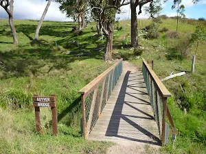
Old Ford Reserve
(8km) Int of 6 Foot Track and Megalong Rd → Megalong Cemetery
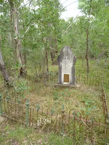
Megalong Cemetery (historical)
(8km) Megalong Cemetery → Int Near Guyver Bridge
(9km) Int Near Guyver Bridge → Euroka back gate
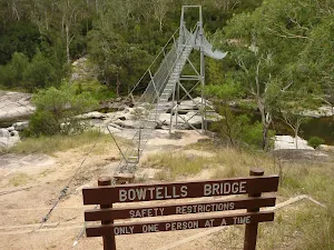
(11km) Private Gate → Bowtells Bridge East
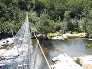
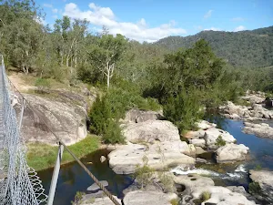
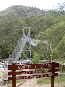
Bowtells Swing Bridge
(14km) Bowtells Swing Bridge → Coxs River Campsite
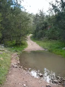
Continue straight: From the clearing and floodplain[136], this walk crosses the river that may flow in two or three sections[137] across smooth and slippery rocks. This river becomes impassable when in flood[138], the river is normally only shin deep, if deeper consider using the swing bridge upstream. Once on the sandy beach on the far side, this walk follows the wide trail uphill for about 40m to the intersection marked with a 'Six Foot Track' sign[139], where the Coxs River Campsite is just up to the right. Now Veer right to rejoin the main walk .
(14km) Bowtells Swing Bridge → Six Foot Track Lodge
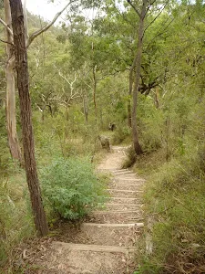
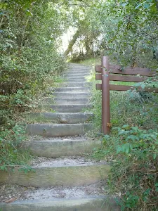
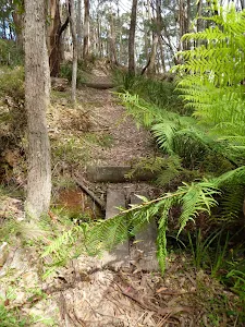
Continue straight: From the north side of the bridge, this walk heads up the timber steps through the dense forest[147] to soon pass the 'Bowtells Bridge' sign[148]. At the top of these steps, the track bends left then leads along the side of the hill for 500m, crossing a few gullies[149] and undulating up and down a series of timber steps to then pass between a couple of fences posts[150]. Here the walk continues down a series of timber steps[151] to a clearing and intersection marked with a 'Private Land - No Camping' sign[152].
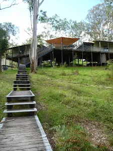
Turn sharp right: From the intersection and clearing, this walk follows the 'Camping Ground-500mtrs' sign[153] north up the timber steps. The track soon bends left and follows the side of the hill[154] for about 130m to then head through a gate with a 'Welcome' sign[155]. The walk continues along the clear track for another 70m to the intersection with the timber path[156] just below the 'Six Foot Track Lodge'[157].
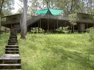
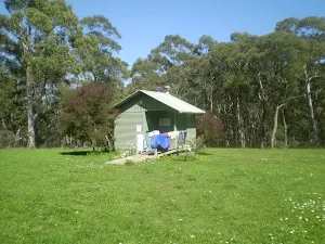
Six Foot Track Lodge
(15km) Six Foot Track Lodge → Coxs River Campsite
Veer left: From the intersection, this walk follows the 'Camping Ground-200m' sign[170] gently down along wide trail[171]. After about 230m the trail flattens out and passes below the main camping area[172] marked with a 'Coxs River Reserve' sign[173]. About 30m past here, this walk comes to a clear intersection with a dirt road marked with a 'Six Foot Track' sign[174].
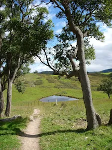
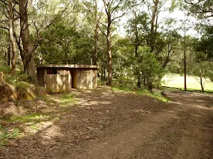
Coxs River Campsite
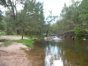
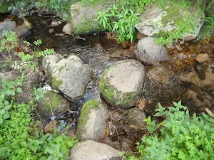
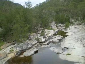
Coxs River
(16km) Coxs River Campsite → Kiangatha Yards
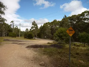
(19km) Kiangatha Yards → Alum Creek Reserve
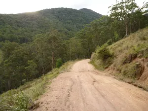
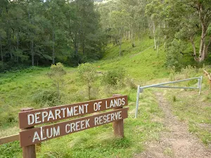
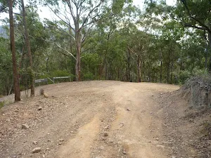
Continue straight: From beside the Mini Mini Saddle clearing[198], this walk follows the dirt road gently uphill along the side of the hill. The road leads past a open section of forest and starts to head downhill to pass a 6FT '20km' arrow post[199] about 250m after leaving the clearing. Here the track leads downhill, moderately steeply in places for 900m where the road bends left[200] around the edge of a grassy clearing. About 40m further down the road, this walk passes an intersection with the regenerating trail[201] (on your right) and continues steeply downhill for just shy of 300m to turn left at the intersection at the other end of the regenerating trail[202]. This walk continues more gently downhill along the dirt road for just over 350m until coming to the signposted (and gated) 'Alum Creek Reserve'[203] (on your right).
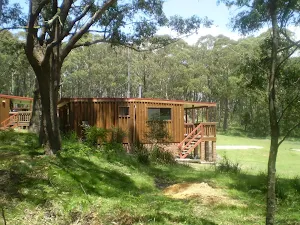
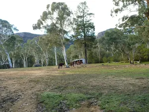
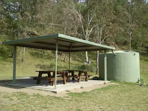
Alum Creek Camping ground

End of day 1
(22km) Alum Creek Reserve → Int of Black Range Rd and Cronje Mtn Fire Trail
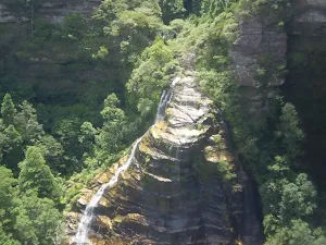
Continue straight: From here, this walk heads up through the Kiangatha Gate[217] and continues walking fairly steeply uphill along the dirt road. After about 500m the road leads around a left hand hairpin bend[218] then 150m later the road briefly flattens out beside a large flat clearing (on your left)[219]. The walk continues steeply uphill for 800m to walk past a 'Drive with Caution Walkers On Road' sign[220] (facing away) to come to a Y-intersection with the signposted 'Waterfall Creek Fire Trail'[221] (on your right).
Turn left: From the intersection, this walk follows the arrow on the metal post quiet steeply uphill along the dirt road. After about 400m this walk passes a '20km' 6FT arrow post[222] then about 150m later the road flattens out briefly to pass a clearing on the top of the ridge (on your left)[223]. The dirt road continues to wind fairly steeply uphill for another 700m with some distance views of the escarpment[224] behind before passing around a sharp left hand hair pin bend[225]. Just shy of 150m later this walk comes to a clearing at the top if Black Range, marked with a few 6FT signs and the intersection with the signposted 'Cronje Mountain Fire Trail'[226].
(26km) Int. Black Range Rd and Cronje Mtn Fire Trail → Int. Black Range Rd and Moorara Boss Fire Trail
(28km) Int. Black Range Rd and Moorara Boss Fire Trail → Int. Black Range Rd and Warlock Fire Trail
(31km) Int. Black Range Rd and Warlock Fire Trail → Black Range Rd
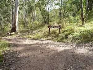
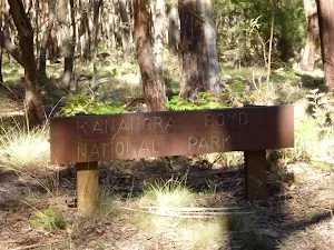
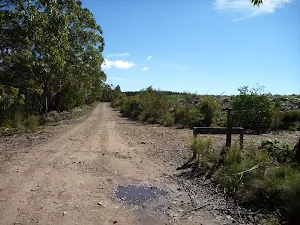
Continue straight: From the intersection, this walk follows the '6`t' arrow on a metal post north west, uphill along the main dirt road. Soon the road leads up a short steep rise then leads more gently as it undulates along the ridge for 400m to pass straight ahead at an intersection marked with a metal 'Kanangra Boyd National Park' sign[235]. This walk continues along the main dirt road for another 1.2km to pass a short trail (on your right, that leads into a clearing that has been used as a campsite[236]). Here the dirt road continues gently uphill for 500m to find an intersection[237] with a faint trail (on the left), just before the clearing and pine forest[238].
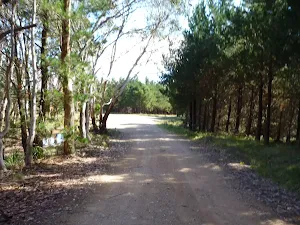
Continue straight: From the intersection[239], this walk heads north and gently uphill along the main trail, towards the clearing. After about 80m the dirt road leads past a 'Black Range Fire Trail' sign[240] then about 25m later comes to the edge of the clearing and intersection with another trail[241]. Here the walk continues straight and gently up along the main dirt road for 400m as the road bends right to a T-intersection on the edge of the pine forest [242], marked with a '6`t' metal arrow post[243].
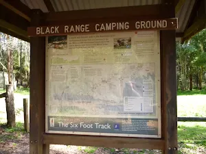
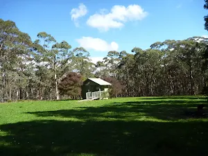
(34km) Black Range Rd → Black Range Camping Ground
Turn left: From the intersection, this walk follows the 'Six Foot Track - Black Range Camping Ground' sign[249] gently downhill and some under power lines[250] along the dirt road. After about 50m this walk heads past a 'Drive With Caution Walkers On Road' sign[251] then another 50m later comes to an information sign in front of the 'Black Range Camping Ground'[252] (on your right).
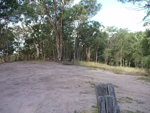
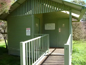
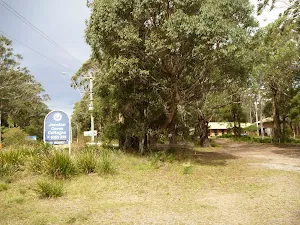
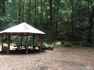
Black Range camping ground
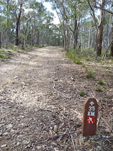
(35km) Black Range Campsite → Int of 6 ft track and Jenolan Caves Rd
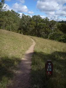
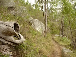
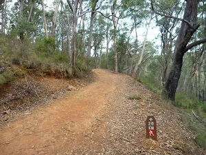
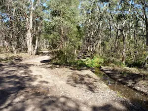
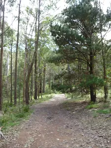
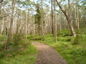
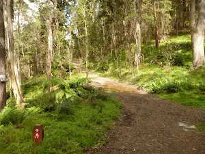
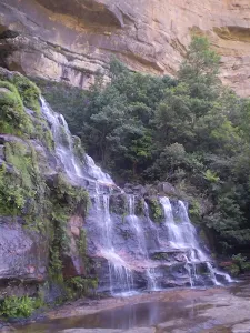
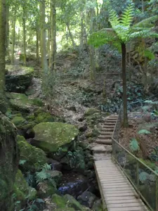
Continue straight: From the intersection, this walk follows the 6FT arrow post gently downhill (south west) along the management trail[264] through the tall wooded forest. After almost 200m this walk passes a '10km' 6FT arrow post[265] then about 400m later the trail bends right and heads more steeply downhill[266] for about 200m where the trail bends left to cross a ferny gully (the upper reaches if Bulls Creek)[267]. The walk continues along the trail heading uphill past a few more 6FT arrow posts[268] for about 500m to a clearing at the top of the ridge[269]. Here the trail bends and leads downhill through tall eucalypt forest with some pine trees[270] for 250m to veer left at an intersection with a faint trail (on your right)[271]. The walk now continues up the moderately steep hill[272] keeping the valley on the left for just shy of 300m to then head up a notably steeper section of trail[273] with a few Telsta posts[274] for about 250m. About 40m from the top of this climb the walk comes to a clear intersection with a trail (on your right), marked with 6FT arrow post[275].
Continue straight: From the intersection, this walk follow 6FT arrow post south west[276] gently downhill along the clear trail. After about 50m the trail bends right then leads fairly steeply downhill[277] for 250m to a pleasant gully[278]. The trail then gently undulates along the side of the hill for 300m to find a T-intersection, marked with a 6FT arrow post (pointing right)[279].
Veer right: From the intersection, this walk follows the 6FT arrow post[280] gently uphill along the trail heading north west. After about 120m this trail bends left (at a large grassy clearing[281]) then just over 100m later the trail passes a 'Road Ahead' sign[282] and comes to a larger clearing and gravel stock pile[283] beside the sealed Jenolan Caves Rd[284],
(38km) Int of 6 ft track and Jenolan Caves Rd → Jenolan Caves Cottages Administration
Jenolan Caves Cottages
(40km) Jenolan Caves Cottages Administration → Jenolan Caves Cottages
(41km) Jenolan Caves Cottages → Carlotta Arch Lookout
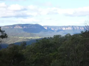
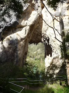
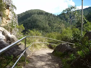
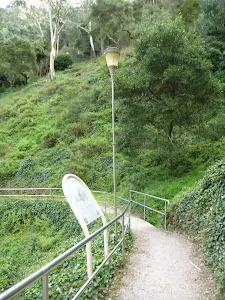
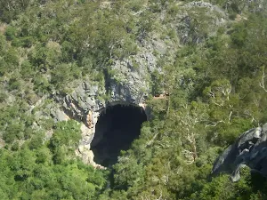
Veer right: From the intersection, this walk follows the 'Six Foot Track' sign[323] downhill along the narrowing track, keeping the steep wide valley to your right. After about 25m the track leads between two timber posts[324] and continues fairly steeply down the side of the valley with glimpses to the cave buildings for 500m where the track flattens out a bit and heads under a solid gum tree leaning over the track[325]. The track continues leading downhill for another 300m to cross a narrow saddle and along a very narrow ridge[326] where there are good views down to Blue Lake[327] (on your left). The track now leads down some timber steps for about 50m to a T-intersection[328] with a gravel path where a 'Six Foot Track' sign points back uphill.
Turn left: From the intersection, this walk follows the 'Caves House' sign[329] gently downhill along the gravel path a short distance to an intersection and fenced lookout near 'Carlotta Arch'[330][331] (on your left).
(44km) Top of Carlotta Arch Steps → Bottom of Carlotta Arch Steps
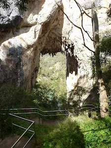
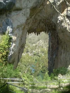
Carlotta Arch
(44km) Carlotta Arch Lookout → Caves House
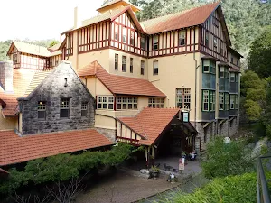
Jenolan Caves House
Maps for the Six Foot Track (Alum Creek Reserve) walk
You can download the PDF for this walk to print a map.
These maps below cover the walk and the wider area around the walk, they are worth carrying for safety reasons.
| Six Foot Track | 1:50 000 Map Series | Six Foot Track | NSW-six-foot-track |
| Hampton | 1:25 000 Map Series | 89304S HAMPTON | NSW-89304S |
| Jenolan | 1:25 000 Map Series | 89303N JENOLAN | NSW-89303N |
| Katoomba | 1:25 000 Map Series | 89301S KATOOMBA | NSW-89301S |
| Katoomba | 1:100 000 Map Series | 8930 KATOOMBA | 8930 |
Cross sectional view of the Six Foot Track (Alum Creek Reserve) bushwalking track
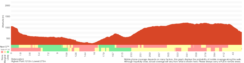
Analysis and summary of the altitude variation on the Six Foot Track (Alum Creek Reserve)
Overview of this walks grade – based on the AS 2156.1 – 2001
Under this standard, a walk is graded based on the most difficult section of the walk.
| Length | 44.8 km | ||
| Time | 2 Days | ||
| . | |||
Grade 4/6 Hard track | AS 2156.1 | Gradient | Very steep (4/6) |
| Quality of track | Rough track, where fallen trees and other obstacles are likely (4/6) | ||
| Signs | Directional signs along the way (3/6) | ||
| Experience Required | Some bushwalking experience recommended (3/6) | ||
| Weather | Storms may impact on navigation and safety (3/6) | ||
| Infrastructure | Limited facilities (such as cliffs not fenced, significant creeks not bridged) (4/6) |
Some more details of this walks Grading
Here is a bit more details explaining grading looking at sections of the walk
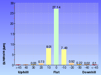
Gradient
18km of this walk has short steep hills and another 17km is very steep. Whilst another 8km has gentle hills with occasional steps and the remaining 1.8km is flat with no steps.
Quality of track
33km of this walk follows a clear and well formed track or trail and another 10km follows a formed track, with some branches and other obstacles. Whilst another 1.6km follows a rough track, where fallen trees and other obstacles are likely and the remaining 430m follows a smooth and hardened path.
Signs
Around 32km of this walk has directional signs at most intersection, whilst the remaining 13km is clearly signposted.
Experience Required
Around 33km of this walk requires no previous bushwalking experience, whilst the remaining 11km requires some bushwalking experience.
weather
Around 37km of this walk is not usually affected by severe weather events (that would unexpectedly impact safety and navigation), whilst the remaining 8km is affected by storms that may impact your navigation and safety.
Infrastructure
24km of this walk has limited facilities (such as not all cliffs fenced) and another 19km is close to useful facilities (such as fenced cliffs and seats). The remaining (1.6km) has limited facilities (such as cliffs not fenced, significant creeks not bridged).
Similar walks
A list of walks that share part of the track with the Six Foot Track (Alum Creek Reserve) walk.
Carlotta's Arch Track
828 m Return, 30 mins
Moderate track
Nellie's Glen Lookout
2 km Return, 1 Hr
Moderate track
Farnell Road to Nellies Glen Lookout return
2.2 km Return, 1 hr 30 mins
Moderate track
McKeowns Valley Lookdown Walk
2.2 km Return, 1 hr 9 mins
Moderate track
McKeowns Valley Walk
3.1 km Return, 1 hr 30 mins
Hard track
McKeowns Valley Circuit
3.5 km Circuit, 2 hrs
Hard track
Farnell Road to Explorers Tree
4 km Return, 2 hrs
Moderate track
Jenolan Cottages to Caves
4.6 km One way, 2 hrs
Hard track
Devil's Hole Trail
7 km One way, 3 hrs 30 mins
Very experienced only
Megalong Rd to Bowtells Swing Bridge (Coxs River)
12.6 km Return, 5 hrs 30 mins
Hard track
Six Foot Track
44.8 km One way, 3 Days
Hard track
Cox's River return via Narrowneck
47.8 km One way, 2 Days
Very experienced only
Cox's River return via Dunphy's campsite
47.8 km One way, 3 Days
Very experienced only
Other Nearby walks
A list of walks that start near the Six Foot Track (Alum Creek Reserve) walk.
Katoomba Falls to Echo Point via Prince Henry Cliff Walk
1.8 km One way, 1 Hr
Moderate track
Katoomba Kiosk to base of Katoomba Falls
1.7 km Return, 2 hrs
Hard track
Katoomba Kiosk to Katoomba Falls
1.1 km Return, 45 mins
Moderate track
Reids Plateau Loop
352 m Circuit, 20 mins
Moderate track
Round Walk
854 m Circuit, 45 mins
Hard track
Carrington Park to BurraBarroo Lookout
582 m Return, 30 mins
Moderate track
Carrington Park to Bridal View Lookout
3.3 km Return, 1 hr 30 mins
Moderate track
Carrington Park to Bridal Veil Lookout return
892 m Return, 30 mins
Moderate track
Carrington Park to Leura Forest and pass loop
4.8 km Circuit, 3 hrs
Hard track
Carrington Park to Leura Forest return
2.3 km Return, 1 hr 30 mins
Hard track
Carrington Park to Marguerite Cascades
1.7 km Return, 1 hr 15 mins
Hard track
Federal Pass Walking Track
8 km One way, 5 hrs
Hard track
Plan your trip to and from the walk here
The Six Foot Track (Alum Creek Reserve) walk starts at the Explorers Tree (gps: -33.703970, 150.29126)
The Six Foot Track (Alum Creek Reserve) ends at the Caves House (gps: -33.820325, 150.02117)
Weather Forecast
This walk starts in the Central Tablelands weather district.
A detailed forecast for this walk isn't available yet.
Current Alerts
Live alerts aren't available for this walk. Check the NPWS website for closures and the RFS for current fire danger.
Park Information
Jenolan Karst Conservation Reserve
This Reserve is home to the world famous Jenolan Caves. The are a number of guided tours avaible paying visitors to explore the underground on well maintianed tracks through the caves. There are also a number of self guided caves that you can walk through at your own leisure, including the masive Grand Arch which you can drive through. There is accomodation and food avaialble in the area and a number of nice walks.
Kanangra-Boyd National Park
Jenolan State Forest
North of Jenolan Caves and Kangangra-Boyd NP This state forest is used by 4wd and dirt bike riders. It is also home to part of the well known Six foot track and the Black Range Camping Ground. Gibraltar Rocks is a spectacular rock escarpment on the parks eastern boundary.
Blue Mountains National Park
Attracting over 3 million visitors annually, Blue Mountains National Park holds some of Australia's most spectacular and diverse wilderness areas. Explore the Grose Valley, with its sheer sandstone cliffs, waterfalls and scenic walking, or enjoy the famous views of the Three Sisters. Easy access makes a day trips very worthwhile, but with such diversity it would be great to stay in one of the many B&B's and spend a few days soaking up the region.
Comments
Short URL: http://wild.tl/sftacr