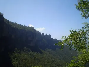
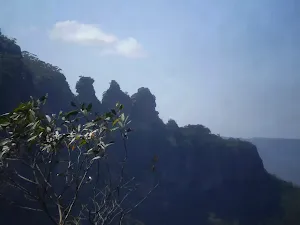
Lyrebird Dell and Pool of Siloam Circuit
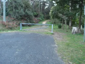
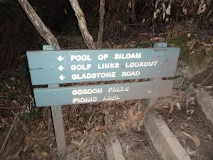

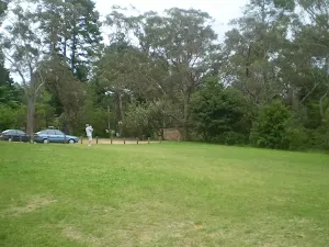
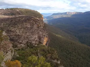
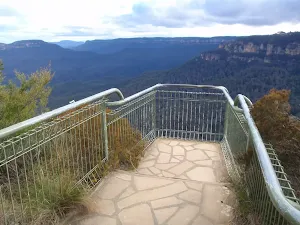
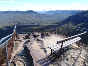
Gorden Falls Reserve
(0km) Gordon Falls Reserve → Int of Gordon Rd and Lone Pine Ave
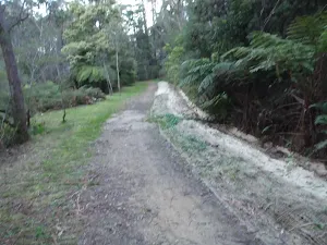
(0km) Int of Gordon Rd and Lone Pine Ave → Int of Lyrebird Dell track and Leura Dirt Track
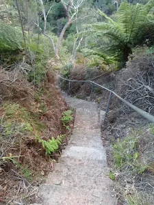
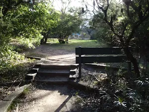
(0km) Int of Lyrebird Dell track and Leura Dirt Track → Lyrebird Dell
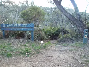
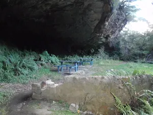
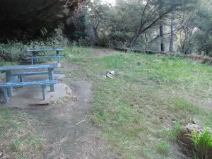
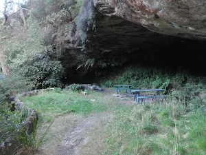
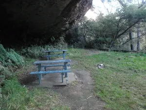
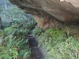
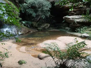
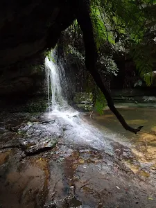
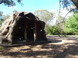
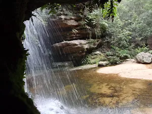
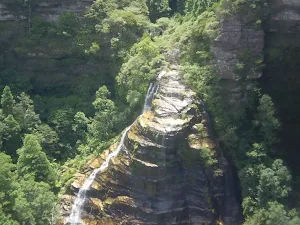
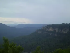
Lyrebird Dell
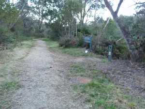
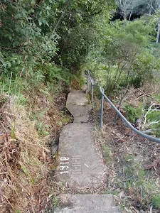
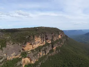
(1km) Lyrebird Dell → Int of Lyrebird Dell Trail and Gordon Falls Park Track
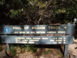
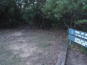
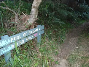
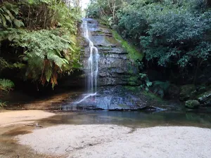
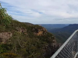
(1km) Int of Lyrebird Dell Trail and Gordon Falls Park Track → Pool of Siloam
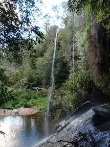
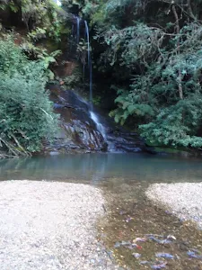
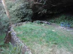
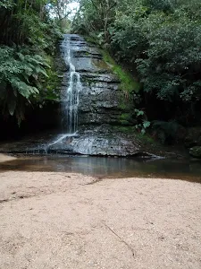
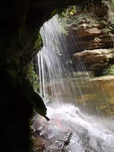
Pool of Siloam
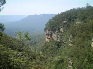
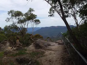
(1km) Pool of Siloam → Int of Lyrebird Dell Trail and Gordon Falls Park Track
(1km) Int of Lyrebird Dell Trail and Gordon Falls Park Track → Gordon Falls Reserve
Maps for the Lyrebird Dell and Pool of Siloam Circuit walk
You can download the PDF for this walk to print a map.
These maps below cover the walk and the wider area around the walk, they are worth carrying for safety reasons.
| Katoomba | 1:25 000 Map Series | 89301S KATOOMBA | NSW-89301S |
| Katoomba | 1:100 000 Map Series | 8930 KATOOMBA | 8930 |
Cross sectional view of the Lyrebird Dell and Pool of Siloam Circuit bushwalking track
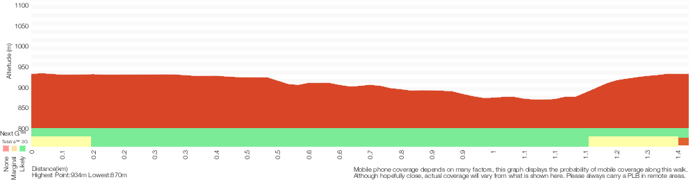
Analysis and summary of the altitude variation on the Lyrebird Dell and Pool of Siloam Circuit
Overview of this walks grade – based on the AS 2156.1 – 2001
Under this standard, a walk is graded based on the most difficult section of the walk.
| Length | 1.4 km | ||
| Time | 1 Hr | ||
| . | |||
Grade 3/6 Moderate track | AS 2156.1 | Gradient | Short steep hills (3/6) |
| Quality of track | Formed track, with some branches and other obstacles (3/6) | ||
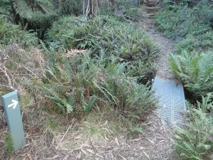
| Signs | Directional signs along the way (3/6) | ||
| Experience Required | No experience required (1/6) | ||
| Weather | Storms may impact on navigation and safety (3/6) | ||
| Infrastructure | Limited facilities, not all cliffs are fenced (3/6) |
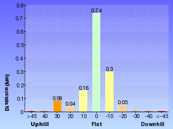
Some more details of this walks Grading
Here is a bit more details explaining grading looking at sections of the walk
Gradient
Around 880m of this walk has short steep hills, whilst the remaining 490m has gentle hills with occasional steps.
Quality of track
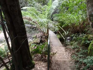
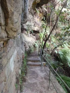
Around 1.1km of this walk follows a clear and well formed track or trail, whilst the remaining 230m follows a formed track, with some branches and other obstacles.
Signs
Around 1.1km of this walk is clearly signposted, whilst the remaining 230m has directional signs at most intersection.
Experience Required
This whole walk, 1.4km requires no previous bushwalking experience.
weather
Around 1.1km of this walk is not usually affected by severe weather events (that would unexpectedly impact safety and navigation), whilst the remaining 250m is affected by storms that may impact your navigation and safety.
Infrastructure
Around 1.1km of this walk is close to useful facilities (such as fenced cliffs and seats), whilst the remaining 230m has limited facilities (such as not all cliffs fenced).
Similar walks
A list of walks that share part of the track with the Lyrebird Dell and Pool of Siloam Circuit walk.
Lyrebird Dell walk
538 m Return, 30 mins
Moderate track
Pool of Siloam
600 m Return, 30 mins
Moderate track
Leura Oval to End of Gladstone Rd
1.6 km One way, 1 Hr
Moderate track
Leura Cascades to Gordon Falls Reserve
1.8 km One way, 1 hr 15 mins
Moderate track
Other Nearby walks
A list of walks that start near the Lyrebird Dell and Pool of Siloam Circuit walk.
Gordon Falls Lookout Walk
260 m Return, 15 mins
Moderate track
Leura to Katoomba via Dardanelles Pass
6.6 km One way, 4 hrs
Hard track
Elysian Rock Lookout track
222 m Return, 15 mins
Moderate track

Golf Links Lookout from Gladstone Rd
752 m Return, 30 mins
Moderate track
Bridal Veil View and Olympian Lookout Walk
2 km Circuit, 1 Hr
Moderate track
Bridal Veil View Lookout Leura
954 m Return, 30 mins

Moderate track
Tarpeian Rock
432 m Return, 15 mins
Easy track
Solitary Kiosk and Restaurant to Copelands Lookout
570 m Return, 20 mins

Moderate track
Solitary Restaurant to Fossil Rock
150 m Return, 15 mins
Moderate track
Federal Pass
4.4 km One way, 3 hrs 45 mins
Hard track
Solitary Kiosk Loop
9.4 km Circuit, 5 hrs 30 mins
Hard track
Plan your trip to and from the walk here
The Lyrebird Dell and Pool of Siloam Circuit walk starts and ends at the Gordon Falls Reserve (gps: -33.724727, 150.33273)
Weather Forecast
This walk starts in the Central Tablelands weather district.
Current Alerts
Park Information
Blue Mountains National Park
Attracting over 3 million visitors annually, Blue Mountains National Park holds some of Australia's most spectacular and diverse wilderness areas. Explore the Grose Valley, with its sheer sandstone cliffs, waterfalls and scenic walking, or enjoy the famous views of the Three Sisters. Easy access makes a day trips very worthwhile, but with such diversity it would be great to stay in one of the many B&B's and spend a few days soaking up the region.
Comments
Short URL: http://wild.tl/ldposc