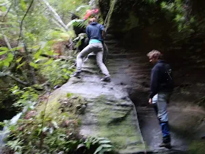
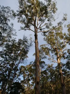
The Nayook Canyon Bushtrack
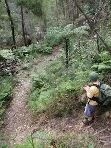
* This walk passes through very remote areas and sections have no visible track. At least one person in your group should have training and experience in off track walking and navigation. Even with these notes and a GPS these extra skills and equipment are required.
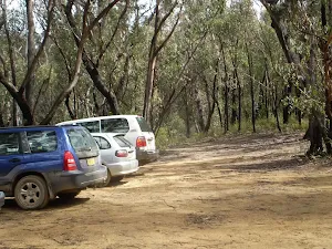
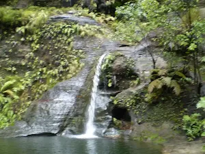
(0km) Deep Pass Carpark → Int of Nayook Crk and Carpark Servicetrail
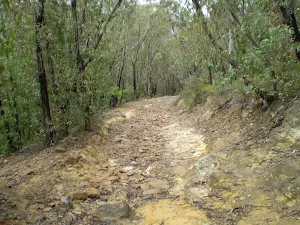
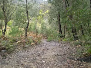
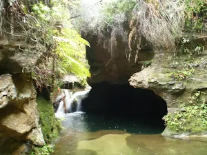
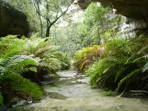
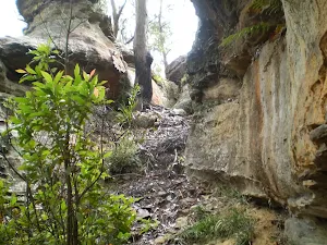
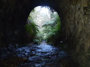
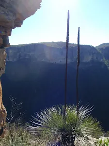
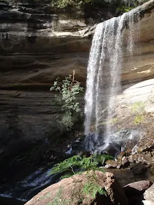
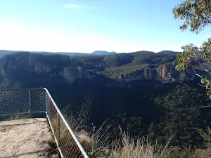
(1km) Int of Nayook Crk and Carpark Servicetrail → South-West End of Nayook Canyon
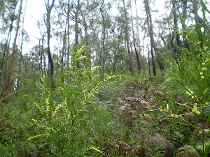
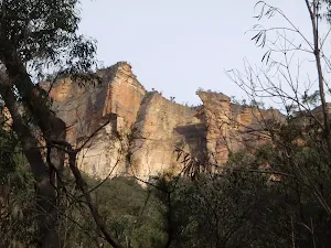
(2km) South-West End of Nayook Canyon → Deep Pass Carpark (North-West)
Maps for the The Nayook Canyon Bushtrack walk
You can download the PDF for this walk to print a map.
These maps below cover the walk and the wider area around the walk, they are worth carrying for safety reasons.
| Rock Hill | 1:25 000 Map Series | 89312N ROCK HILL | NSW-89312N |
| Wallerawang | 1:100 000 Map Series | 8931 WALLERAWANG | 8931 |
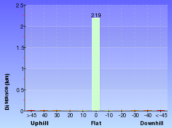
Cross sectional view of the The Nayook Canyon Bushtrack bushwalking track
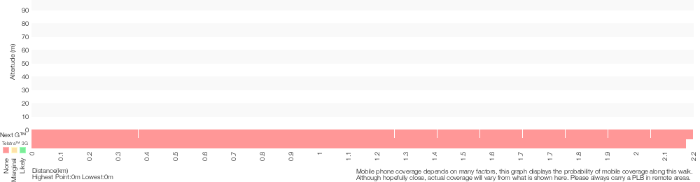
Analysis and summary of the altitude variation on the The Nayook Canyon Bushtrack
Overview of this walks grade – based on the AS 2156.1 – 2001
Under this standard, a walk is graded based on the most difficult section of the walk.
| Length | 2.2 km | ||
| Time | 45 mins | ||
| . | |||
Grade 5/6 Experienced only | AS 2156.1 | Gradient | Short steep hills (3/6) |
| Quality of track | Rough unclear track (5/6) | ||
| Signs | No directional signs (5/6) | ||
| Experience Required | Moderate level of bushwalking experience recommended (4/6) | ||
| Weather | Forecast, unforecast storms and severe weather may impact on navigation and safety (4/6) | ||
| Infrastructure | No facilities provided (5/6) |
Some more details of this walks Grading
Here is a bit more details explaining grading looking at sections of the walk
Gradient
This whole walk, 2.2km has short steep hills.
Quality of track
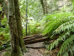
900m of this walk follows a clear and well formed track or trail and another 780m follows a rough unclear track. The remaining (510m) follows a formed track, with some branches and other obstacles.
Signs
Around 1.4km of this walk has directional signs at most intersection, whilst the remaining 780m Has no directional signs.
Experience Required
900m of this walk requires no previous bushwalking experience and another 780m requires a leader a with moderate level of bushwalking experience. The remaining (510m) requires some bushwalking experience.
weather
Around 1.4km of this walk is not usually affected by severe weather events (that would unexpectedly impact safety and navigation), whilst the remaining 780m is affected by forecast, unforecast storms and severe weather events that may impact on navigation and safety.
Infrastructure
Around 1.4km of this walk has limited facilities (such as not all cliffs fenced), whilst the remaining 780m has no facilities provided.
Similar walks
A list of walks that share part of the track with the The Nayook Canyon Bushtrack walk.
The Deep Pass Trail
1.9 km One way, 1 Hr
Moderate track
Other Nearby walks
A list of walks that start near the The Nayook Canyon Bushtrack walk.
The Glow Worm Tunnel Walk
2.9 km Return, 1 hr 45 mins
Moderate track
Zig-Zag Railway Walk
4.6 km Return, 1 hr 45 mins
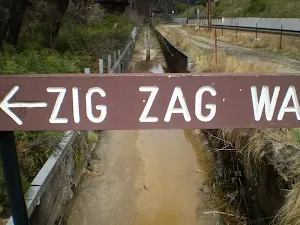
Moderate track
Asgard Kiln and Mine
5.6 km Return, 2 hrs
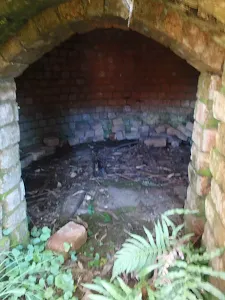
Hard track
Pyramid Shaped Rock
4.2 km Return, 1 hr 30 mins
Moderate track
Thor Head
6.4 km Return, 2 hrs 30 mins
Very experienced only
Victoria Falls
3.1 km Return, 2 hrs
Hard track
Victoria Falls and Grose Valley to Blackheath Station
22.5 km One way, 3 Days
Experienced only
Victoria Falls Lookout
206 m Return, 15 mins
Moderate track
Victoria Falls Lookout to Blue Gum Forest
13.8 km One way, 8 hrs
Experienced only
Victoria Falls to Blackheath Station
22.2 km One way, 2 Days
Experienced only
Victoria Falls to Pierces Pass
8.9 km One way, 2 Days
Experienced only
Pierces Pass, Blue Gum Forest, Acacia Flats to Perrys Lookdown
10.4 km One way, 5 hrs 30 mins
Experienced only
Plan your trip to and from the walk here
The The Nayook Canyon Bushtrack walk starts and ends at the Deep Pass Carpark (gps: -33.340204, 150.30010)
Weather Forecast
This walk starts in the Central Tablelands weather district.
Current Alerts
Park Information
Wollemi National Park
Comments
Short URL: http://wild.tl/tncb