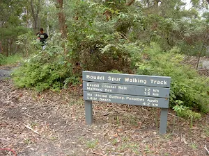
Bouddi Spur to Little Beach via Bombi Moor
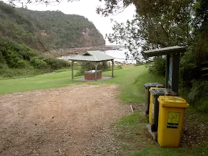


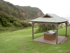
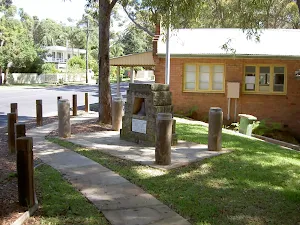
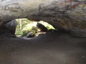
The Dingeldei Memorial Shelter
(0km) Dingeldei Picnic Area and Carpark → Bouddi Lookout
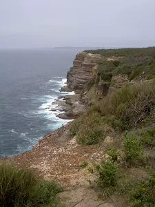
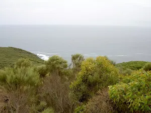
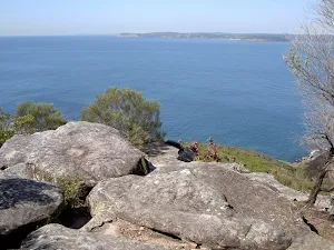
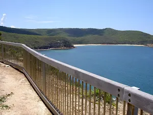
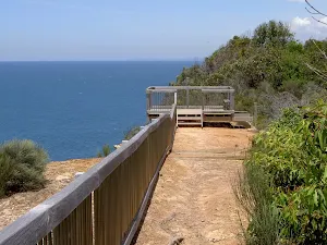
Bouddi Lookout
(1km) Bouddi Lookout → Int. Bouddi Trail and Dingeldei Picnic Trail
(1km) Int. Bouddi Trail and Dingeldei Picnic Trail → End of Caves Bay management trail
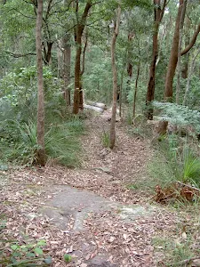
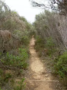
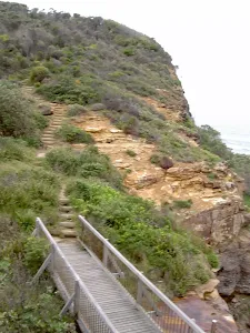
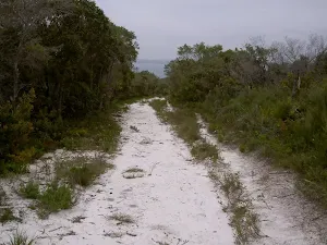
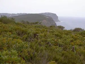
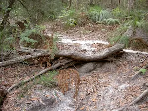
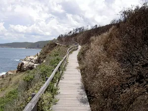
(2km) End of Caves Bay management trail → Bombi Moors
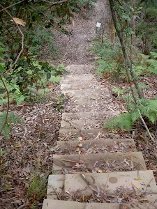
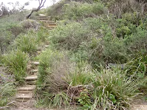
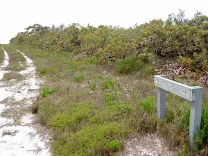
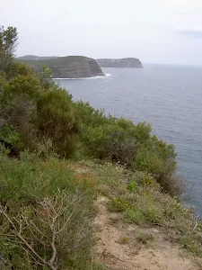
Veer right: From the intersection, this walk follows the management trail up the sandy hill, keeping the sea to the right. The trail soon comes to the signposted intersection, with another trail on the right.
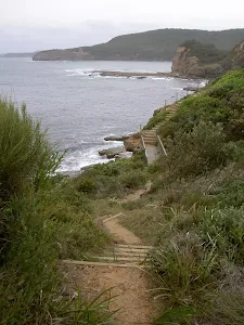
Continue straight: From the intersection, this walk heads down the hill, keeping the sea to the right. The walk descends for some time before turning gently and climbing for a while to the signposted intersection.
Turn right: From the intersection the sandy track follows the 'Trail 81' and 'Bombi Moors' signs up the hill. The track heads undulates for quite some time down to a grassy caldasac near the cliff edge.
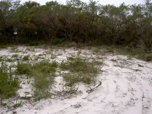
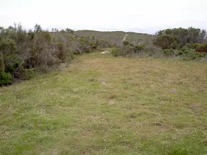
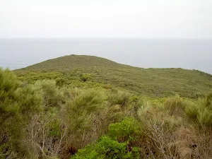
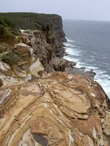
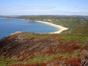
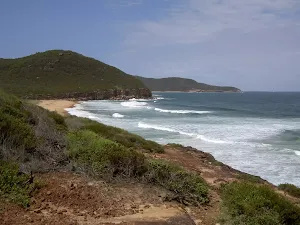
Bombi Moors
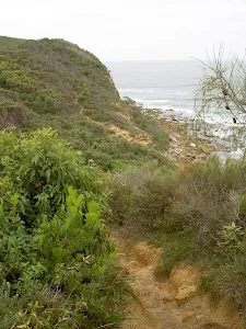
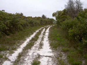
(4km) Bombi Moors → Sandy Clearing Little Beach Access Trail Int.
(5km) Sandy Clearing Little Beach Access Trail Int. → Int. Bouddi Trail Access and Little Beach Trk
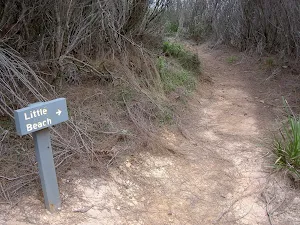
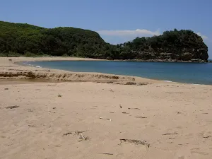
(6km) Int. Bouddi Trail Access and Little Beach Trk → Little Beach
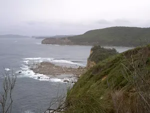
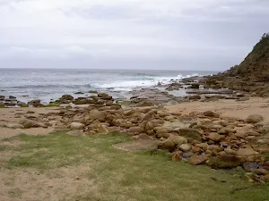
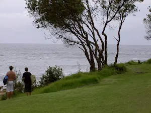
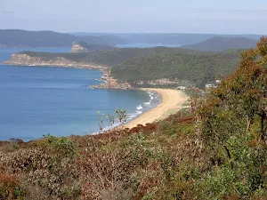
Little Beach
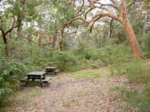
Little Beach Campsite
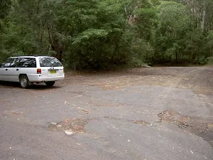
(6km) Little Beach → Grahame Dr car park
Continue straight: From the intersection, this walk follows the 'Little Beach Carpark 300m' sign along the management trail, going up the hill. The walk drops through a gully, crossing the creek and climbing up the hill before passing around a gate and arriving in the car park.
Maps for the Bouddi Spur to Little Beach via Bombi Moor walk
You can download the PDF for this walk to print a map.
These maps below cover the walk and the wider area around the walk, they are worth carrying for safety reasons.
| Broken Bay | 1:25 000 Map Series | 91301N BROKEN BAY | NSW-91301N |
| Sydney | 1:100 000 Map Series | 9130 SYDNEY | 9130 |
Cross sectional view of the Bouddi Spur to Little Beach via Bombi Moor bushwalking track
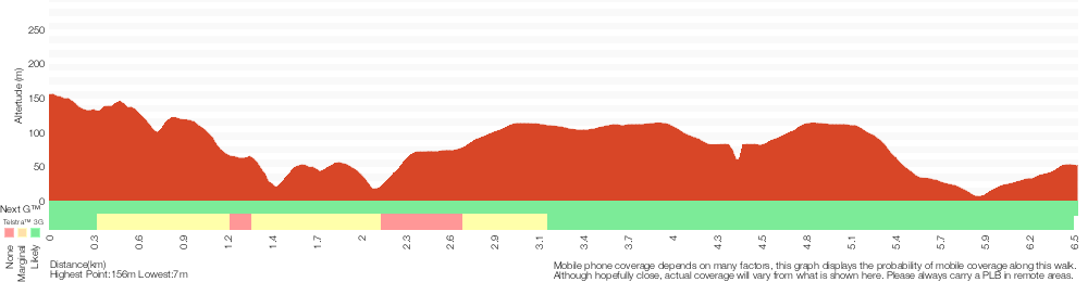
Analysis and summary of the altitude variation on the Bouddi Spur to Little Beach via Bombi Moor
Overview of this walks grade – based on the AS 2156.1 – 2001
Under this standard, a walk is graded based on the most difficult section of the walk.
| Length | 6.5 km | ||
| Time | 3 hrs | ||
| . | |||
Grade 4/6 Hard track | AS 2156.1 | Gradient | Short steep hills (3/6) |
| Quality of track | Rough track, where fallen trees and other obstacles are likely (4/6) | ||
| Signs | Directional signs along the way (3/6) | ||
| Experience Required | No experience required (1/6) | ||
| Weather | Weather generally has little impact on safety (1/6) | ||
| Infrastructure | Limited facilities, not all cliffs are fenced (3/6) |
Some more details of this walks Grading
Here is a bit more details explaining grading looking at sections of the walk
Gradient
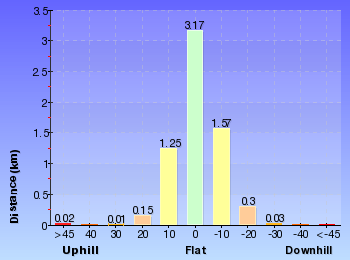
Around 3.8km of this walk has gentle hills with occasional steps, whilst the remaining 2.7km has short steep hills.
Quality of track
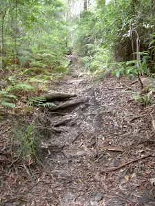
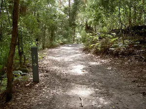
6km of this walk follows a formed track, with some branches and other obstacles and another 460m follows a rough track, where fallen trees and other obstacles are likely. The remaining (280m) follows a clear and well formed track or trail.
Signs
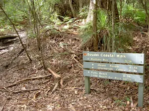
Around 6km of this walk has directional signs at most intersection, whilst the remaining 630m is clearly signposted.
Experience Required
This whole walk, 7km requires no previous bushwalking experience.
weather
This whole walk, 7km is not usually affected by severe weather events (that would unexpectedly impact safety and navigation).
Infrastructure
Around 4.6km of this walk has limited facilities (such as not all cliffs fenced), whilst the remaining 1.9km is close to useful facilities (such as fenced cliffs and seats).
Similar walks
A list of walks that share part of the track with the Bouddi Spur to Little Beach via Bombi Moor walk.
Little Beach Trail
1.2 km Return, 1 Hr
Moderate track
Bouddi Lookout
1.8 km Return, 1 Hr
Moderate track
Bouddi Spur to Maitland Bay
3.9 km Return, 1 hr 45 mins
Hard track
Little Beach to Mount Bouddi Track
5 km One way, 2 hrs 30 mins
Hard track
Maitland Bay Info Centre - Mt Bouddi - Maitland Bay
6 km Circuit, 2 hrs 15 mins
Hard track
Bouddi Coastal Walk
8.1 km One way, 5 hrs
Hard track
Little Beach Bombi Moor and Mt Bouddi Circuit Track
9.1 km Circuit, 4 hrs
Hard track
Bouddi Ridge and Coastal Walk
27 km Circuit, 2 Days
Hard track
Other Nearby walks
A list of walks that start near the Bouddi Spur to Little Beach via Bombi Moor walk.
Bullimah Outlook
2.3 km Return, 1 hr 15 mins
Moderate track
Maitland Bay Information Centre to Putty Beach
4.5 km One way, 1 hr 45 mins
Hard track
Maitland Bay Track
2.1 km Return, 1 Hr
Hard track
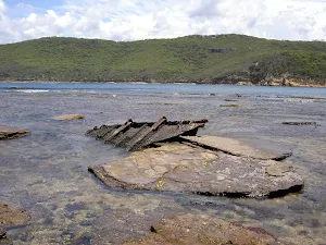
Maitland Bay Shipwreck Track
3.9 km Return, 1 hr 30 mins
Hard track
Marie Byles Lookout to Bullimah Lookout
1.8 km Return, 1 Hr
Hard track
Gerrin Point Circuit
5.2 km Circuit, 2 hrs 30 mins
Hard track
Tallow Beach and Box Head
8.5 km Circuit, 4 hrs
Hard track
Putty Beach, Box Head, Lobster Beach to Pretty Beach
7.5 km One way, 3 hrs 30 mins
Moderate track
Box Head Track
3.1 km Return, 2 hrs
Moderate track
Hawke Head Drive to Box Head
3.1 km Return, 1 hr 15 mins
Moderate track
Kanning Cave Walk
922 m Return, 20 mins
Easy track
Kanning Walk
1.3 km Circuit, 30 mins
Easy track
Plan your trip to and from the walk here
The Bouddi Spur to Little Beach via Bombi Moor walk starts at the Dingeldei Picnic Area and Carpark (gps: -33.516278, 151.40326)
The Bouddi Spur to Little Beach via Bombi Moor ends at the Grahame Dr car park (gps: -33.509886, 151.41234)
Weather Forecast
This walk starts in the Hunter weather district.
Current Alerts
Park Information
Bouddi National Park
Bouddi National Park is south east of Woy Woy and encompasses the Box Head headland. Bouddi NP has numerous secluded beaches and some great surf beaches too. The park also offers fantastic coastal walking with views out from the tall headlands over Broken Bay, Woy Woy and the South Pacific Ocean. Bouddi NP also boasts one of the first marine extensions in NSW, with a 300ha protection zone out of Maitland Bay for the marine life. The mosquitoes in Bouddi NP can be fierce so it might be an idea to pack insect repellent.
Comments
Short URL: http://wild.tl/i