Mooney Mooney Creek Trackhead to Somersby
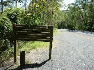


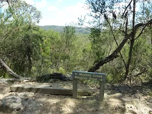


(0km) Mooney Mooney Creek Trackhead → Int of Karool Rd and Old Pacific Highway
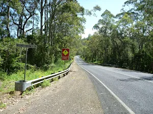
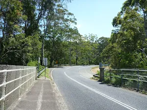
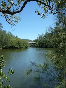
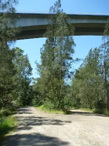
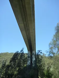
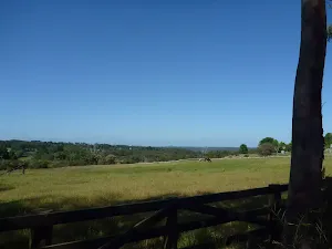
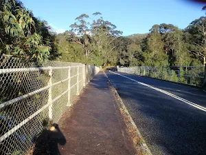
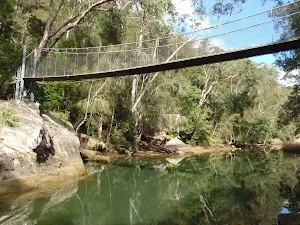
Old Pacific Highway Mooney Mooney Creek Bridge
(0km) Int of Karool Rd and Old Pacific Highway → National Park Gate
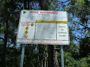
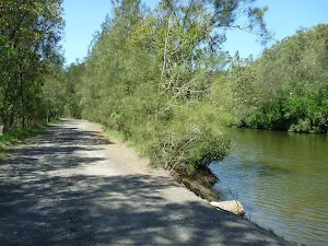
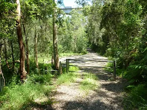
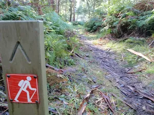
Veer left: From the 'Y' intersection[16], this walk follows the 'The Great North Walk' sign[17] along the upper dirt road to pass under the Mooney Mooney (F3 freeway) Bridge[18]. Just over 250m after passing under the tall bridge, this walk leads up to a large turning area[19] just before the locked gate[20], marked with a 'Brisbane Water National Park' sign[21].
(1km) National Park Gate → Mooney Mooney Creek crossing
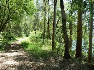
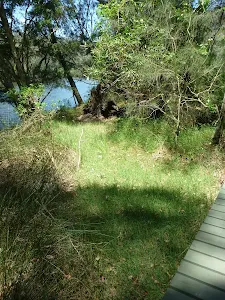
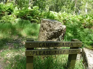
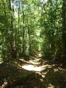
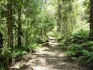
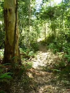
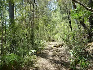
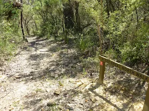
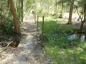
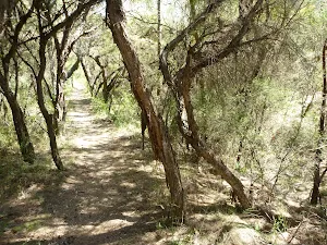
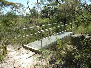
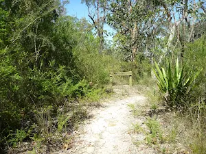
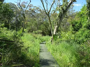
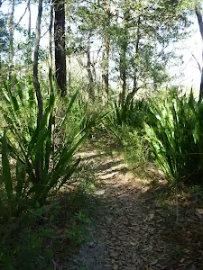
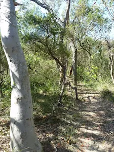
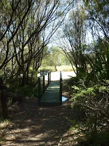
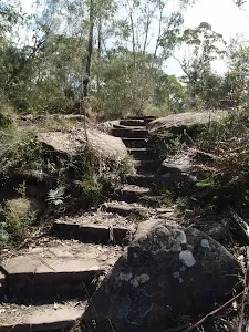
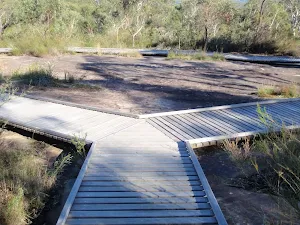
Veer right: From the intersection[29] just above the clearing, this walk follows the GNW arrow post[30] down along the track, keeping the clearing and campsite[31] to the right. The track soon leads over a small flat timber bridge[32] then over the next 60m, the track heads under the high tension power lines (past the caution sign[33]) and then along a short section of timber boardwalk[34]. About 20m later, this walk veers right at a Y-intersection[35], then continues along the mostly flat track beside Mooney Mooney Creek for about 300m, to cross a small rocky tidal creek[36]. The track then continues through the tall forest[37] beside Mooney Mooney Creek for about 600m, passing a couple of she-oak stands[38] before the track then bends left and comes to an indistinct intersection[39] beside a timber and metal footbridge[40].
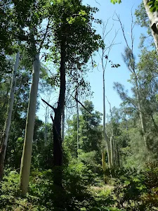
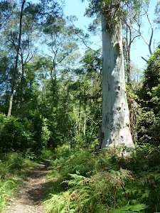
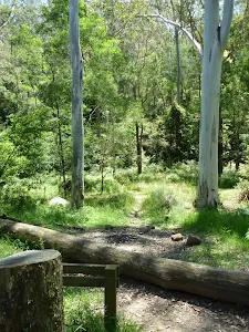
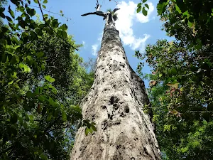
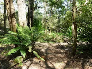
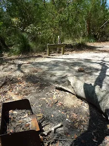
Continue straight: From the intersection, this walk crosses the timber and metal footbridge[41] over a tidal, unnamed creek[42] to then turn right and follow the track which soon bends left. Keeping Mooney Mooney Creek to the right[43], this track passes a small cliff[44] and then follows the mostly flat track through the tall forest[45] for about 170m to come to a large clearing with tall blue gums[46]. (This was once a campsite, camping is not safe and not permitted)
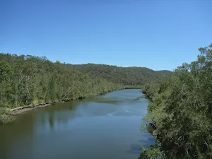
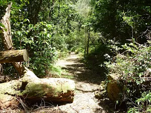
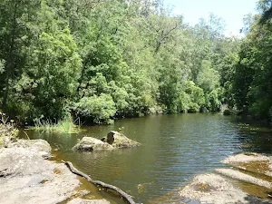
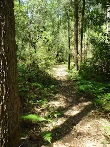
Continue straight: From the campsite[47], this walk follows the clear track north, keeping the wide Mooney Mooney Creek to your right. The clear, wide and mostly flat track leads alongside the creek[48] for about 1.2km to come to the southern bank of Ausburn Creek[49] (about 130m past a rock wall[50], on your left), a few metres above its confluence with Mooney Mooney Creek[51]
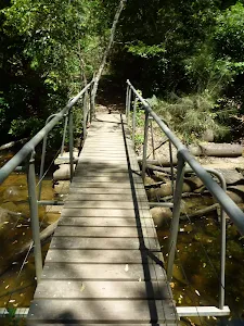
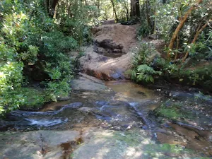
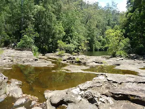
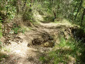
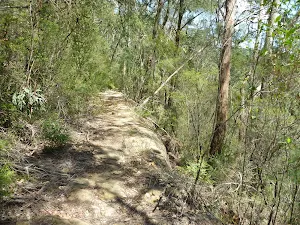
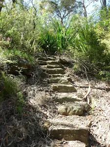
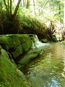
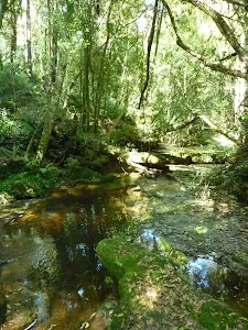
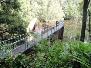
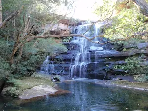
Continue straight: From the south bank of Ausburn Creek, this walk crosses the narrow rock platform and creek[52], then follows the track fairly steeply uphill[53] for about 200m. At the top of this climb, the track gently undulates[54] alongside Mooney Mooney Creek for about 700m before heading down to find a large rock platform[55] on the western bank of Mooney Mooney Creek. This large rock platform is a natural ford of the perennial Mooney Mooney Creek[56] and is home to a scattering of small and large waterholes[57].
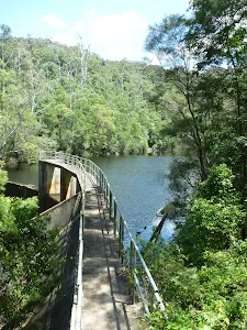
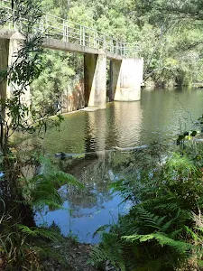
(5km) Mooney Mooney Creek crossing → Lower Mooney Mooney Dam
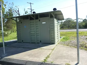
Lower Mooney Dam
(7km) Lower Mooney Mooney Dam → Int of the dam trail and the old Somersby Falls track
(8km) Int of the dam trail and the old Somersby Falls track → Int GNW and Somersby Gardens private track
(9km) Great North walk sign → Somersby Gardens
Somersby Gardens
(9km) Int GNW and Somersby Gardens private track → Quarry Camping Area
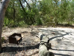
Quarry Camping Area
(9km) Quarry Camping Area → Somersby Reservoir
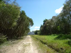
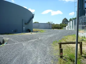
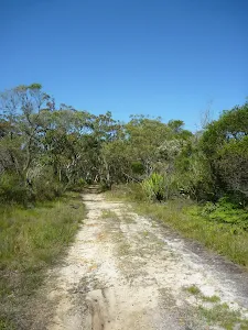
Veer left: From the intersection, this walk follows GNW arrow marker[115] gently downhill along the dirt road[116]. This walk follows the road for about 400m to come to a large clearing with two large water reservoirs tanks[117]. This walk continues past the two reservoirs[118] (and past the treatment plant building[119], on your left) to come to a 'The Great North Walk' sign[120] just in front of a small brick building[121].
(10km) Somersby Reservoir → South end of Robinson Crk Track
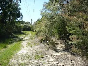
Veer right: From the intersection, this walk follows the management trail uphill[133], keeping the power lines just to your right. After about 40m, this walk follows the GNW arrow post left[134] (ignoring the 'Private Property'[135] trail ahead) as the track winds gently uphill for about 250m before veering left, ignoring another 'Private Property' track[136] (on your right). The mostly flat track now leads along the side of the hill[137] for about 100m before passing under another set of power lines[138] and leading right, steeply up the short rocky hill[139]. At the top of this hill, the track leads to the end of a trail[140], but immediately veers right[141] to follow a track along a fence for about 60m before rejoining the same power line management trail[142].
(11km) South end of Robinson Crk Track → End of Robinson Road
Veer right: From the intersection, this walk follows the GNW arrow post uphill[165] along the wide sandy trail for about 40m to pass a faint trail[166] (on your right). Then about 120m further up the main trail, this walk comes a T-intersection[167] marked with a couple more GNW arrow posts.
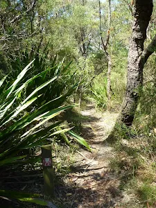
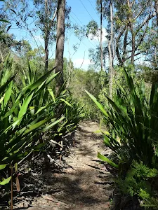
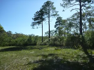
Turn right: From the intersection, this walk follows the GNW arrow post[168] gently uphill along the sandy trail[169]. The trail soon leaves the wooded forest and after about 120m, this walk veers left at an intersection in a clearing[170]. After another 120m, the walk heads past a large grassy clearing[171] (on your right) with some tall pine trees[172]. The sandy trail continues for another 150m, past a few scribbly gums[173], and comes to a Y-intersection marked with a 'The Great North Walk' sign[174] (pointing left).
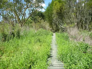
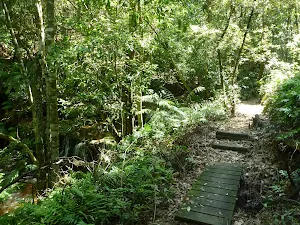
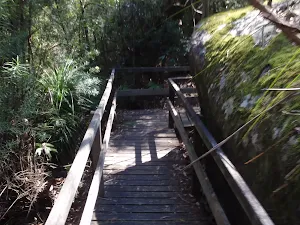
Veer left: From the intersection, this walk follows the 'The Great North Walk' sign[175] along the track, initially keeping the sandy trail to the right for a short distance. The track soon bends left, then winds over a small rise through the scribbly gum forest[176] for about 400m before heading over a short section of green boardwalk[177]. A short distance later, this walk crosses a green timber footbridge[178] and comes to an intersection at the end of the dirt Robinson Road[179].
(13km) End of Robinson Road → Somersby Store
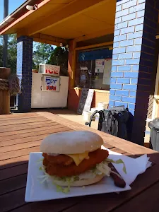
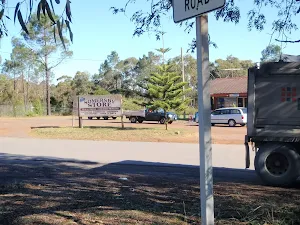
Somersby Store
Maps for the Mooney Mooney Creek Trackhead to Somersby walk
You can download the PDF for this walk to print a map.
These maps below cover the walk and the wider area around the walk, they are worth carrying for safety reasons.
| Gunderman | 1:25 000 Map Series | 91313S GUNDERMAN | NSW-91313S |
| Gosford | 1:25 000 Map Series | 91312S GOSFORD | NSW-91312S |
| Wyong | 1:25 000 Map Series | 91312N WYONG | NSW-91312N |
| Gosford | 1:100 000 Map Series | 9131 GOSFORD | 9131 |
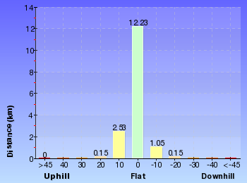
Cross sectional view of the Mooney Mooney Creek Trackhead to Somersby bushwalking track
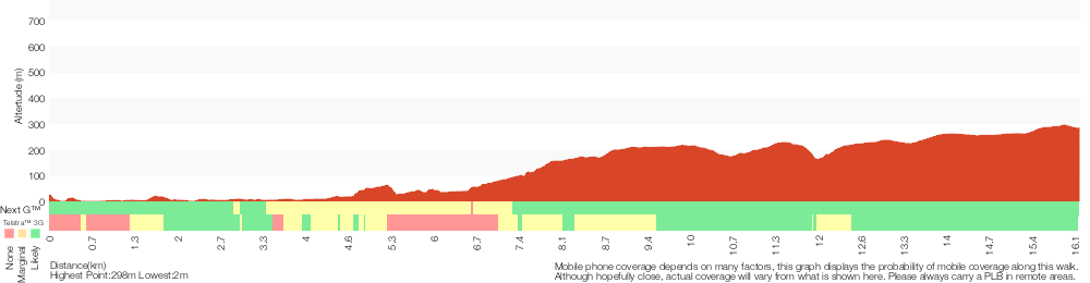
Analysis and summary of the altitude variation on the Mooney Mooney Creek Trackhead to Somersby
Overview of this walks grade – based on the AS 2156.1 – 2001
Under this standard, a walk is graded based on the most difficult section of the walk.
| Length | 16.1 km | ||
| Time | 6 hrs | ||
| . | |||
Grade 4/6 Hard track | AS 2156.1 | Gradient | Very steep (4/6) |
| Quality of track | Formed track, with some branches and other obstacles (3/6) | ||
| Signs | Directional signs along the way (3/6) | ||
| Experience Required | Moderate level of bushwalking experience recommended (4/6) | ||
| Weather | Storms may impact on navigation and safety (3/6) | ||
| Infrastructure | Limited facilities (such as cliffs not fenced, significant creeks not bridged) (4/6) |
Some more details of this walks Grading
Here is a bit more details explaining grading looking at sections of the walk
Gradient
6km of this walk has short steep hills and another 4.9km has gentle hills with occasional steps. Whilst another 3.9km is flat with no steps and the remaining 1.3km is very steep.
Quality of track
8km of this walk follows a formed track, with some branches and other obstacles and another 4.7km follows a clear and well formed track or trail. The remaining (3.9km) follows a smooth and hardened path.
Signs
Around 10km of this walk has directional signs at most intersection, whilst the remaining 7km is clearly signposted.
Experience Required
10km of this walk requires no previous bushwalking experience and another 4.5km requires some bushwalking experience. The remaining (1.3km) requires a leader a with moderate level of bushwalking experience.
weather
Around 14km of this walk is not usually affected by severe weather events (that would unexpectedly impact safety and navigation), whilst the remaining 1.9km is affected by storms that may impact your navigation and safety.
Infrastructure
14km of this walk is close to useful facilities (such as fenced cliffs and seats) and another 1.4km has limited facilities (such as not all cliffs fenced). The remaining (1.3km) has limited facilities (such as cliffs not fenced, significant creeks not bridged).
Similar walks
A list of walks that share part of the track with the Mooney Mooney Creek Trackhead to Somersby walk.
Somersby & Mooney Mooney Creek Loop
20 km Circuit, 7 hrs 30 mins
Moderate track
Wondabyne station to Somersby Store
26.2 km One way, 10 hrs
Hard track
Wondabyne station to Somersby Store overnight
26.2 km One way, 2 Days
Hard track
Patonga to Somersby
41.5 km One way, 3 Days
Hard track
Other Nearby walks
A list of walks that start near the Mooney Mooney Creek Trackhead to Somersby walk.
Eastern Girrakool Loop
803 m Circuit, 20 mins
Moderate track
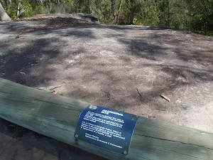
Girrakool Aboriginal Engravings track
378 m Return, 10 mins
Easy track
Girrakool Loop track
1.4 km Circuit, 45 mins
Moderate track
Girrakool to Patonga
24.8 km One way, 10 hrs
Hard track
Girrakool to Patonga Overnight
24.8 km One way, 2 Days
Hard track
Girrakool to Staples Lookout via Kariong Brook Falls
12.3 km One way, 5 hrs 30 mins
Hard track
Girrakool to Wondabyne station
9.5 km One way, 4 hrs
Hard track
Girrakool to Wondabyne station via Pindar caves
18.1 km One way, 7 hrs 30 mins
Experienced only
Girrakool to Woy Woy station via Mt Wondabyne
20.7 km One way, 8 hrs 30 mins
Hard track
Piles Creek Loop
4.2 km Circuit, 2 hrs
Moderate track
Western Girrakool Loop
1.1 km Circuit, 30 mins
Moderate track
Bulgandry Engravings
800 m Return, 20 mins
Very easy
Plan your trip to and from the walk here
The Mooney Mooney Creek Trackhead to Somersby walk starts at the Mooney Mooney Creek Trackhead (gps: -33.437988, 151.25192)
The Mooney Mooney Creek Trackhead to Somersby ends at the Somersby Store (gps: -33.358081, 151.29029)
Weather Forecast
This walk starts in the Hunter weather district.
A detailed forecast for this walk isn't available yet.
Current Alerts
Live alerts aren't available for this walk. Check the NPWS website for closures and the RFS for current fire danger.
Park Information
Brisbane Water National Park
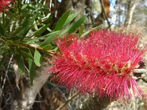
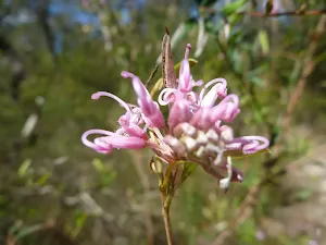
Brisbane Waters National Park is situated south west of Gosford perched on the Hawkesbury River. The park is characterised by sandstone features, Aboriginal engravings, flowery heaths, bird life and spectacular water views. Brisbane Waters NP has many bushwalks through the are with the Great North Walk passing through the middle of the park.
Comments
Short URL: http://wild.tl/mmctts