11km Circuit
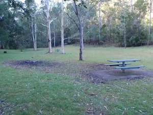
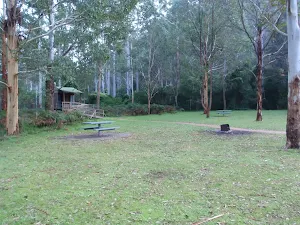
Mill Creek picnic area
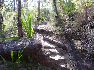
(0km) Mill Creek Picnic Area car park → Int of Grass Tree and 11km circuits
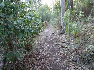
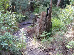
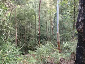
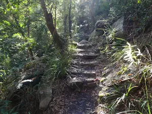
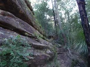
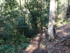
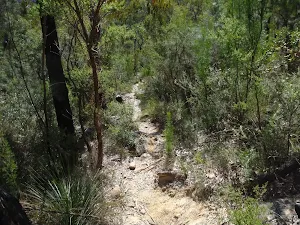
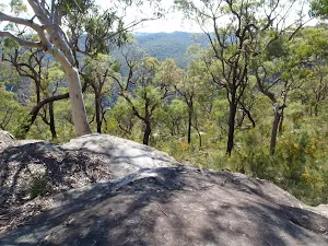
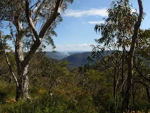
Continue straight: From the 'Start/Finish' walking track signpost at the end of the picnic area, the walk follows the bush track and immediately takes the right hand branch at a fork in the track (the other track is the return leg of the Grass Tree circuit). The walk passes through a mix of closed in, dense vegetation and more open forest with some beautiful views and lots of grasstrees. After crossing a creek using wooden steps and a concreted stone path, the track climbs more steeply before dropping to the signposted intersection of the '11km Walking Track' and '1.5km Grass Tree Circuit'.
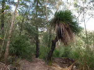
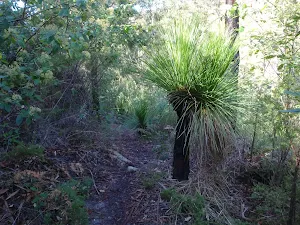
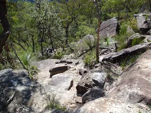
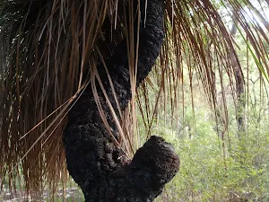
Grasstrees
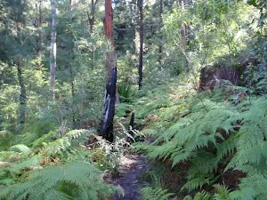
(1km) Int of Grass Tree and 11km circuits → Int of 11km circuit and Link track
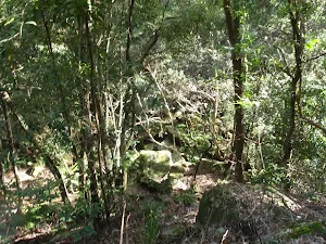
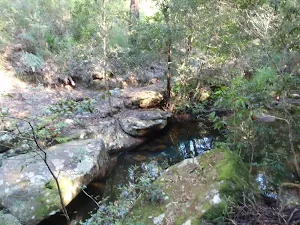
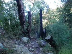
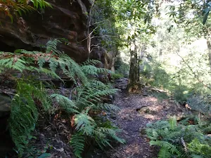
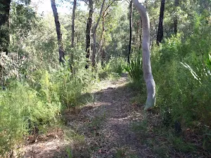
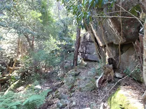
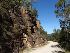
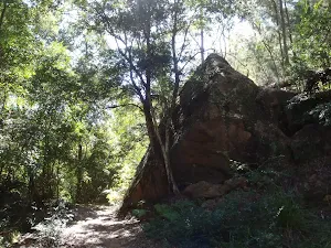
Turn right: From the creek, the walk follows the walker arrow along the bush track, going downstream and keeping the creek to the right. This section of the walk has several steep climbs and plenty of great scenery. After meandering for some time the walk passes a regenerating bush track, to the right (marked with a walker post and old arrows on the trees), and continues, crossing a gully marked with walker arrows in both directions. After crossing another gully (unmarked), the walk climbs very steeply, passing a track marker and climbing further to reach an intersection at the top of the hill (very faint bush track to the right), marked with two arrow track markers on a post.
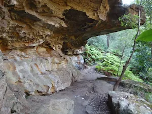
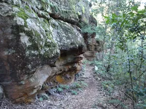
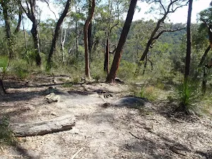
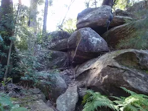
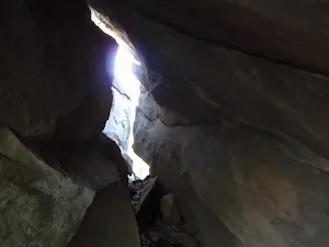
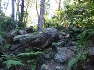
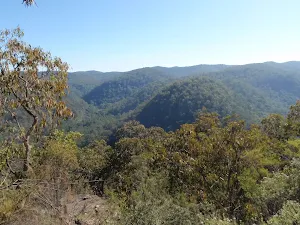
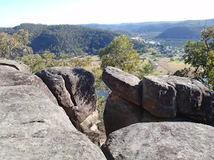
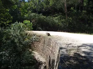
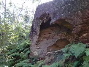
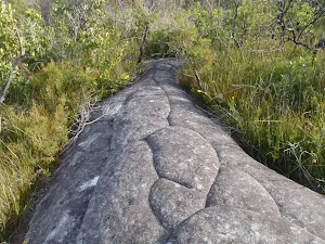
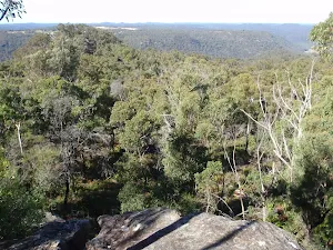
(3km) Int of 11km circuit and Link track → 11km Nth rock platform
11km circuit Nth Viewpoint
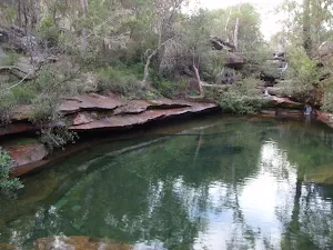
(6km) 11km Nth rock platform → Mill Creek Picnic Area car park
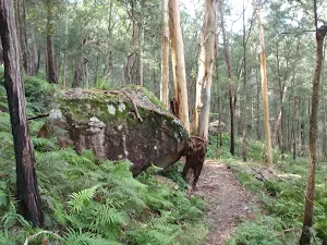
Turn sharp right: From the 'Start/Finish' walking track signpost at the end of the Mill Creek picnic area, the walk crosses the picnic area to the car park (Mill Creek picnic area is signposted on Wisemans Ferry Rd, about 6km east of Wisemans Ferry crossing).
Maps for the 11km Circuit walk
You can download the PDF for this walk to print a map.
These maps below cover the walk and the wider area around the walk, they are worth carrying for safety reasons.
| Gunderman | 1:25 000 Map Series | 91313S GUNDERMAN | NSW-91313S |
| Lower Portland | 1:25 000 Map Series | 90312S LOWER PORTLAND | NSW-90312S |
| Gosford | 1:100 000 Map Series | 9131 GOSFORD | 9131 |
| St Albans | 1:100 000 Map Series | 9031 ST ALBANS | 9031 |
Cross sectional view of the 11km Circuit bushwalking track
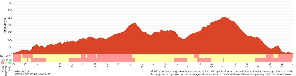
Analysis and summary of the altitude variation on the 11km Circuit
Overview of this walks grade – based on the AS 2156.1 – 2001
Under this standard, a walk is graded based on the most difficult section of the walk.
| Length | 8.2 km | ||
| Time | 4 hrs 15 mins | ||
| . | |||
Grade 4/6 Hard track | AS 2156.1 | Gradient | Very steep (4/6) |
| Quality of track | Rough track, where fallen trees and other obstacles are likely (4/6) | ||
| Signs | Directional signs along the way (3/6) | ||
| Experience Required | Some bushwalking experience recommended (3/6) | ||
| Weather | Storms may impact on navigation and safety (3/6) | ||
| Infrastructure | Limited facilities, not all cliffs are fenced (3/6) |
Some more details of this walks Grading
Here is a bit more details explaining grading looking at sections of the walk
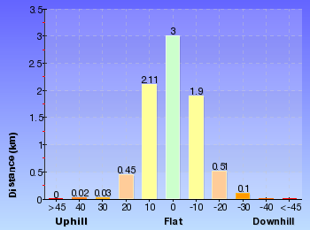
Gradient
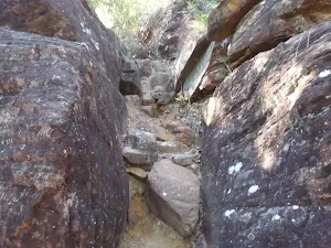
6km of this walk is very steep and another 1.6km has short steep hills. The remaining (210m) is flat with no steps.
Quality of track
6km of this walk follows a rough track, where fallen trees and other obstacles are likely and another 1.6km follows a formed track, with some branches and other obstacles. The remaining (210m) follows a clear and well formed track or trail.
Signs
Around 8km of this walk has directional signs at most intersection, whilst the remaining 210m is clearly signposted.
Experience Required
Around 8km of this walk requires some bushwalking experience, whilst the remaining 210m requires no previous bushwalking experience.
weather
Around 7km of this walk is affected by storms that may impact your navigation and safety, whilst the remaining 970m is not usually affected by severe weather events (that would unexpectedly impact safety and navigation).
Infrastructure
Around 5km of this walk has limited facilities (such as not all cliffs fenced), whilst the remaining 3.1km is close to useful facilities (such as fenced cliffs and seats).
Similar walks
A list of walks that share part of the track with the 11km Circuit walk.
Grass Tree circuit
1.7 km Circuit, 1 Hr
Moderate track
Other Nearby walks
A list of walks that start near the 11km Circuit walk.
Western Commission Track to Dubbo Gully
28.3 km One way, 2 Days
Moderate track
Finchs Line viewpoint
4.4 km Return, 2 hrs 15 mins
Moderate track
Devines Hill
3.6 km Return, 2 hrs
Moderate track
Devines Hill and Finchs Line circuit
9.9 km Circuit, 4 hrs 30 mins
Moderate track
Great North Road and Dubbo Gully
27.3 km One way, 2 Days
Hard track
Hangmans Rock
2.2 km Return, 1 hr 15 mins
Moderate track
Shepherds Gully
4.3 km Return, 2 hrs
Moderate track
Shepherds Gully and Devines Hill
4 km One way, 2 hrs
Moderate track
248 Track
8.3 km Return, 3 hrs 15 mins
Moderate track
Emerald Pool circuit from Ironbark Rd
10.8 km Circuit, 4 hrs 15 mins
Hard track
Ironbark Rd to Glenworth Valley
10.1 km Return, 4 hrs 15 mins
Hard track
Mt Olive
4.4 km Return, 2 hrs
Hard track
Plan your trip to and from the walk here
The 11km Circuit walk starts and ends at the Mill Creek Picnic Area car park (gps: -33.400835, 151.04778)
Weather Forecast
This walk starts in the Hunter weather district.
Current Alerts
Park Information
Dharug National Park
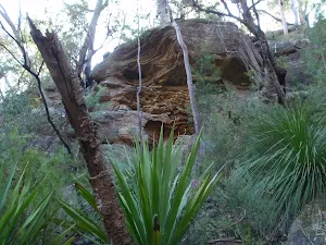
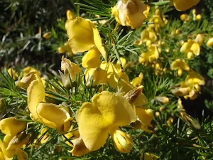
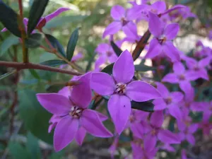
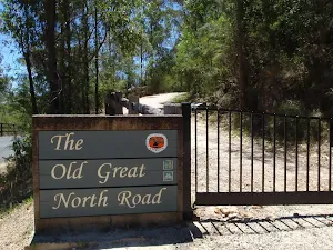
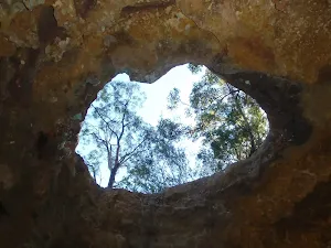
Named after the traditional custodians (the Darug People), this park has much history and some great sandstone formations. The wildflowers in spring add a wonderful touch of colour to the bushland. The Old Great North Road including its quarries, bridges and other features improves access and provides a great deal of interest for visitors. Close to Sydney and Gosford, it feels like stepping back in time when visiting this park.
Comments
Short URL: http://wild.tl/22