East Killara Track
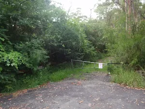


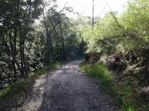
(0km) Eastern Arterial Rd → End of Bushrangers Reserve service trail
(1km) End of Bushrangers Reserve service trail → Int of Koola Ave service trail and Bushranger Reserve track
(2km) Int of Koola Ave service trail and Bushranger Reserve track → Int of Murrumba Place servicetrail and Koola bushtrack
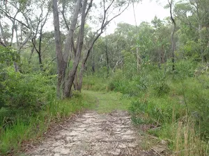
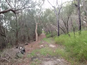
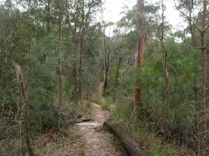
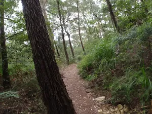
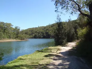
Continue straight: From the intersection, this walk follows the management trail, keeping the valley to the left. The trail passes behind the houses (up to the right) as it undulates through the bush for a while, before coming down to the intersection with the management trail (uphill on the right).
Continue straight: From the intersection, this walk follows the management trail heading down the hill, with the ground sloping up to the right, for a short distance until coming to the intersection with the defined bush track on the left.
(2km) Int of Murrumba Place servicetrail and Koola bushtrack → Koola and Gordon Creek tracks Intersection
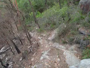
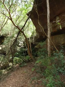
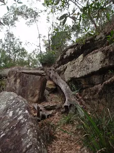
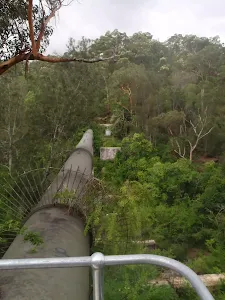
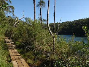
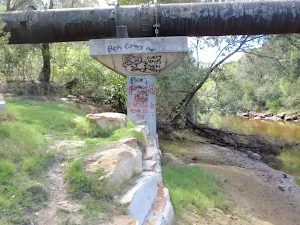
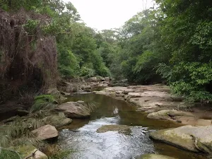
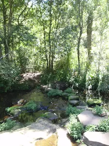
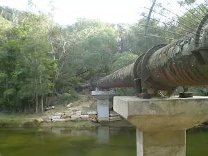
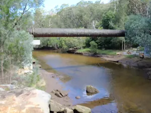
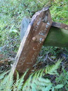
(3km) Koola and Gordon Creek tracks Intersection → Gordon Creek Pipe Bridge (bottom of Barrie Street Track)
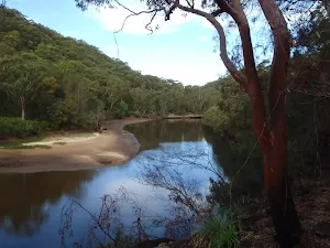
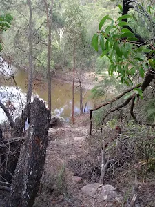
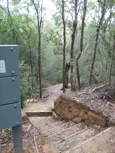
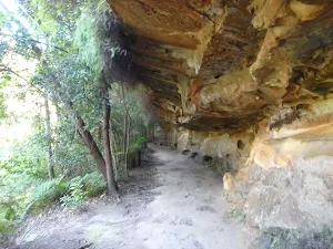
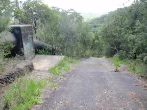
(4km) Gordon Creek Pipe Bridge (bottom of Barrie Street Track) → Int of Gordon Creek Crossing and Barrie Street tracks
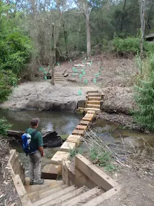
(4km) Int of Gordon Creek Crossing and Barrie Street tracks → Int of Gordon Creek Crossing track and servicetrail
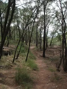
(5km) Int of Gordon Creek Crossing track and servicetrail → Int of Eastern Arterial Road and Gordon Creek service trail
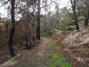
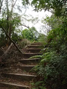
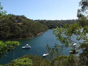
Continue straight: From the intersection, this walk follows the management trail, with the ground sloping up to the left. The trail heads through the bush for a short while, coming to the signposted intersection of the 'Lindfield Oval' bush track on the left.
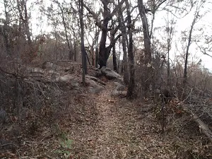
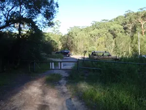
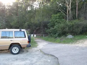
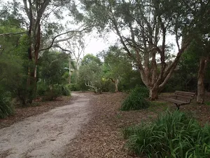
Continue straight: From the intersection, this walk follows the management trail for a short distance, through a metal gate to a small clearing on the side of Eastern Arterial Road.
Maps for the East Killara Track walk
You can download the PDF for this walk to print a map.
These maps below cover the walk and the wider area around the walk, they are worth carrying for safety reasons.
| Hornsby | 1:25 000 Map Series | 91304S HORNSBY | NSW-91304S |
| Parramatta River | 1:25 000 Map Series | 91303N PARRAMATTA RIVER | NSW-91303N |
| Sydney | 1:100 000 Map Series | 9130 SYDNEY | 9130 |
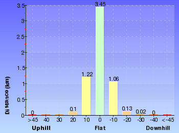
Cross sectional view of the East Killara Track bushwalking track
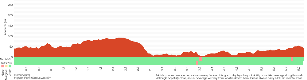
Analysis and summary of the altitude variation on the East Killara Track
Overview of this walks grade – based on the AS 2156.1 – 2001
Under this standard, a walk is graded based on the most difficult section of the walk.
| Length | 6 km | ||
| Time | 2 hrs 45 mins | ||
| . | |||
Grade 4/6 Hard track | AS 2156.1 | Gradient | Very steep (4/6) |
| Quality of track | Formed track, with some branches and other obstacles (3/6) | ||
| Signs | Directional signs along the way (3/6) | ||
| Experience Required | Some bushwalking experience recommended (3/6) | ||
| Weather | Weather generally has little impact on safety (1/6) | ||
| Infrastructure | Limited facilities, not all cliffs are fenced (3/6) |
Some more details of this walks Grading
Here is a bit more details explaining grading looking at sections of the walk
Gradient
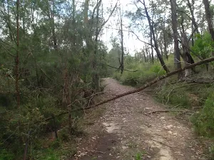
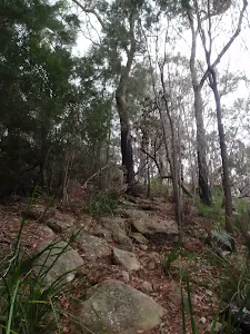
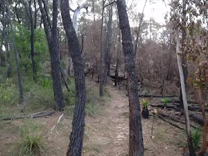
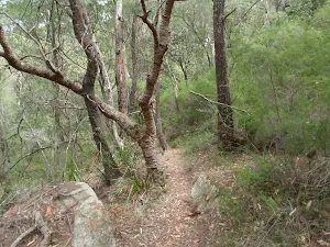
3.4km of this walk has short steep hills and another 1.4km is flat with no steps. Whilst another 680m has gentle hills with occasional steps and the remaining 530m is very steep.
Quality of track
Around 3.7km of this walk follows a formed track, with some branches and other obstacles, whilst the remaining 2.3km follows a clear and well formed track or trail.
Signs
Around 3.5km of this walk has directional signs at most intersection, whilst the remaining 2.5km is clearly signposted.
Experience Required
Around 4km of this walk requires no previous bushwalking experience, whilst the remaining 2km requires some bushwalking experience.
weather
This whole walk, 6km is not usually affected by severe weather events (that would unexpectedly impact safety and navigation).
Infrastructure
Around 3.2km of this walk has limited facilities (such as not all cliffs fenced), whilst the remaining 2.7km is close to useful facilities (such as fenced cliffs and seats).
Similar walks
A list of walks that share part of the track with the East Killara Track walk.
East Killara Bushtrack
2.6 km One way, 1 hr 15 mins
Hard track
Two Creeks Track
6.1 km One way, 2 hrs 30 mins
Moderate track
Lindfield Park and Little Digger Track Loop
6.7 km Circuit, 2 hrs 45 mins
Moderate track
Killara to St Ives via Rocky Creek
6.8 km One way, 3 hrs
Experienced only
Middle Harbour Creek Loop
15.1 km Circuit, 5 hrs 45 mins
Experienced only
Spit to Lindfield
22.6 km One way, 9 hrs 45 mins
Hard track
Other Nearby walks
A list of walks that start near the East Killara Track walk.
Bungaroo Track
3.6 km Return, 1 hr 30 mins
Hard track
Founders Way
3 km Return, 1 hr 30 mins
Moderate track
Bungaroo and Founders Way Loop
3.5 km Circuit, 1 hr 30 mins

Hard track
St Ives to Davidson Park via Casuarina Track
9 km One way, 4 hrs
Hard track
The Pipeline Track
4.7 km Return, 2 hrs
Moderate track
The Pipeline Way
4.7 km One way, 2 hrs 15 mins
Hard track
Blackbutt Creek Return
5.5 km Return, 2 hrs

Moderate track
Gordon to Chatswood Station
12.2 km One way, 4 hrs 30 mins
Hard track
Gordon to Hornsby (overnight at Scout camp)
25.8 km One way, 2 Days

Hard track
Gordon to Roseville Station (Riverside Walk)
13.3 km One way, 4 hrs 30 mins
Hard track
Gordon to Roseville Railway Station
10.7 km One way, 4 hrs 30 mins

Hard track
Davidson Track
2 km Return, 1 hr 15 mins
Hard track
Plan your trip to and from the walk here
The East Killara Track walk starts at the Eastern Arterial Rd (gps: -33.751550, 151.17164)
The East Killara Track ends at the Int of Eastern Arterial Road and Gordon Creek service trail (gps: -33.768493, 151.17789)
Weather Forecast
This walk starts in the Metropolitan weather district.
Current Alerts
Park Information
Garigal National Park
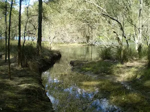
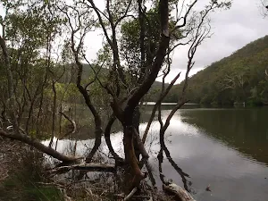
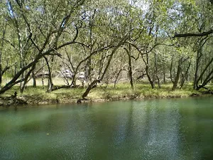
Largely following Middle Harbour Creek and stretching from Seaforth in the south to St Ives in the north Garigal National Park is hidden through Sydney's Northern suburbs. Despite how close it is to large urban centres Garigal is quite beautiful with lots of different walking and cycling tracks. For those just wishing to picnic Davidson Reserve is a great spot just next to Middle Harbour Creek, under the Roseville Bridge.
Hermits Retreat
Hermits Retreat is a large natural bushland reserve bound by Eastern Arterial Rd, Lindfield Oval, Garigal National Park, and Monash Ave. The reserve is home on Lindfield Rocks a popular rock climbing area. There are several walking tracks and service trails through this park that is owned and managed by Ku-ring-gai council.
Old She Oak Reserve
Old She Oak Reserve is a bushland reserve owned and managed by Ku-ring-gai council and is bound by Garigal National park, Koola Ave, Saiala Rd, and Redfield Rd. The park protect part of the Middle Harbour catchment is is home a few small tracks.
Comments
Short URL: http://wild.tl/ekt