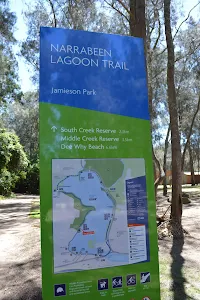
Narrabeen Lagoon Trail (from Middle Creek)
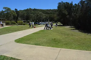


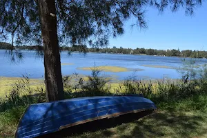


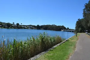

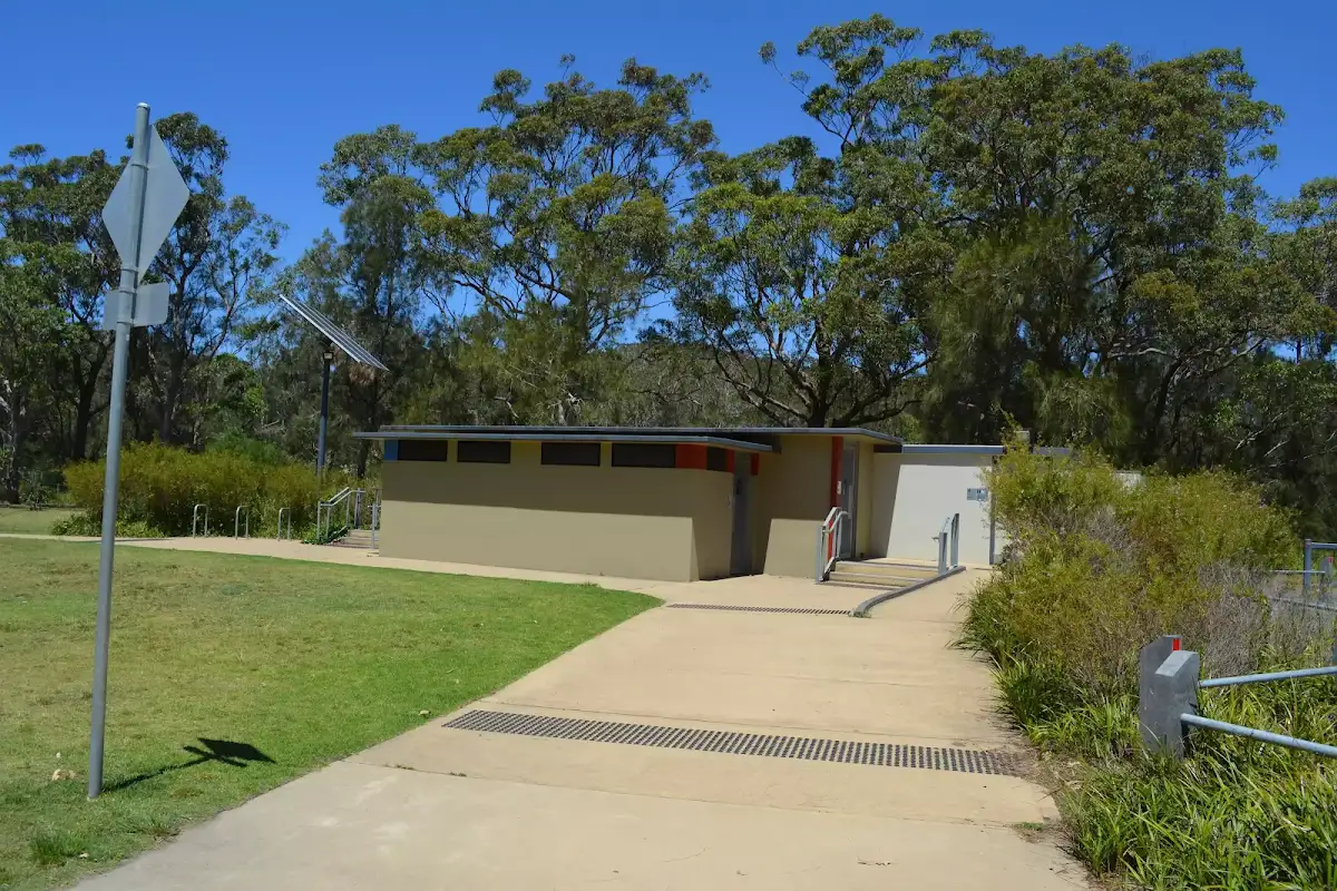
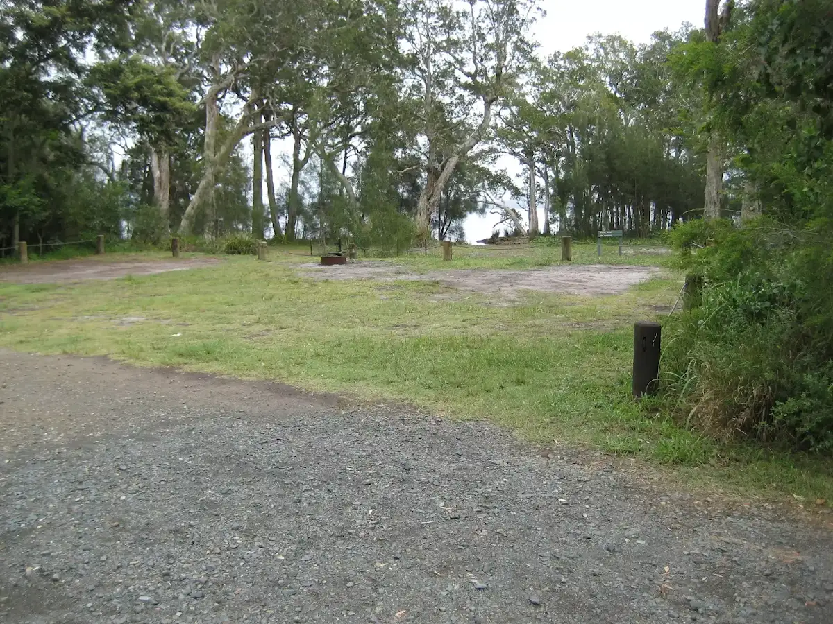
Middle Creek Reserve


(0km) Middle Creek Reserve boat ramp → Sport and Recreation boat shed


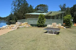
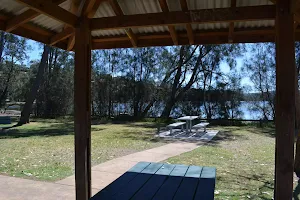
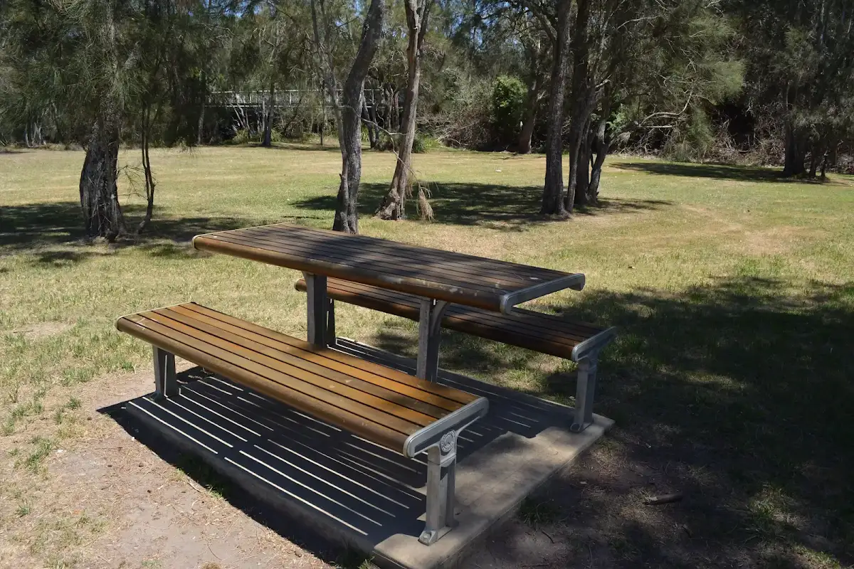
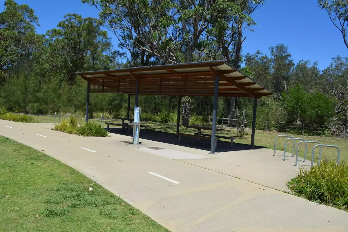
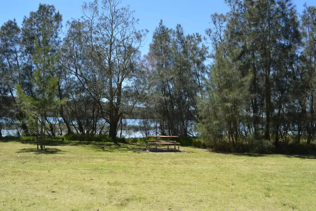
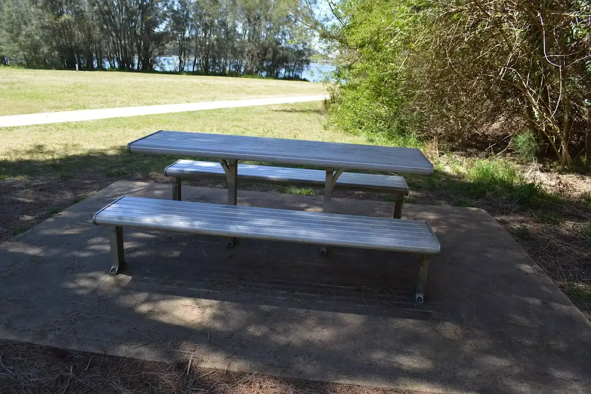
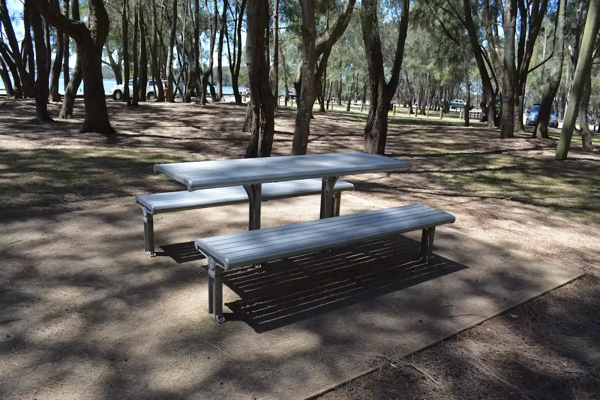
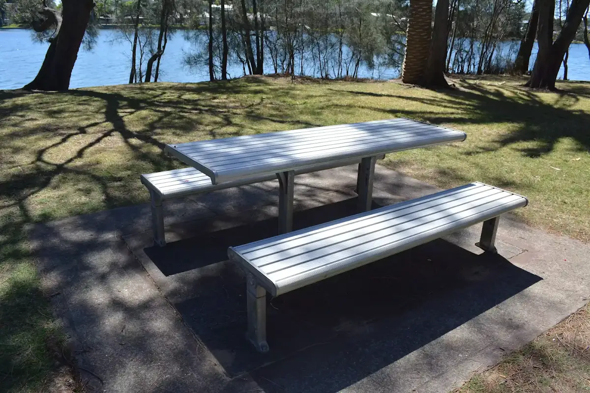
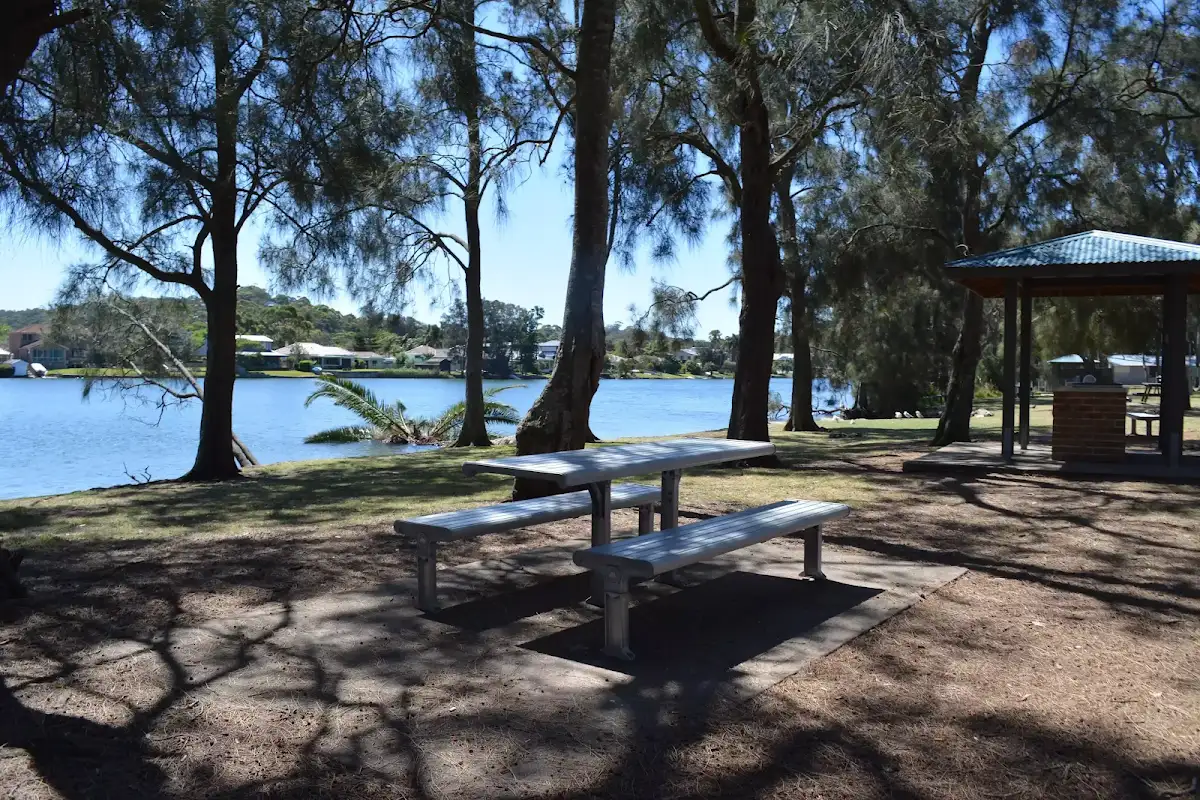
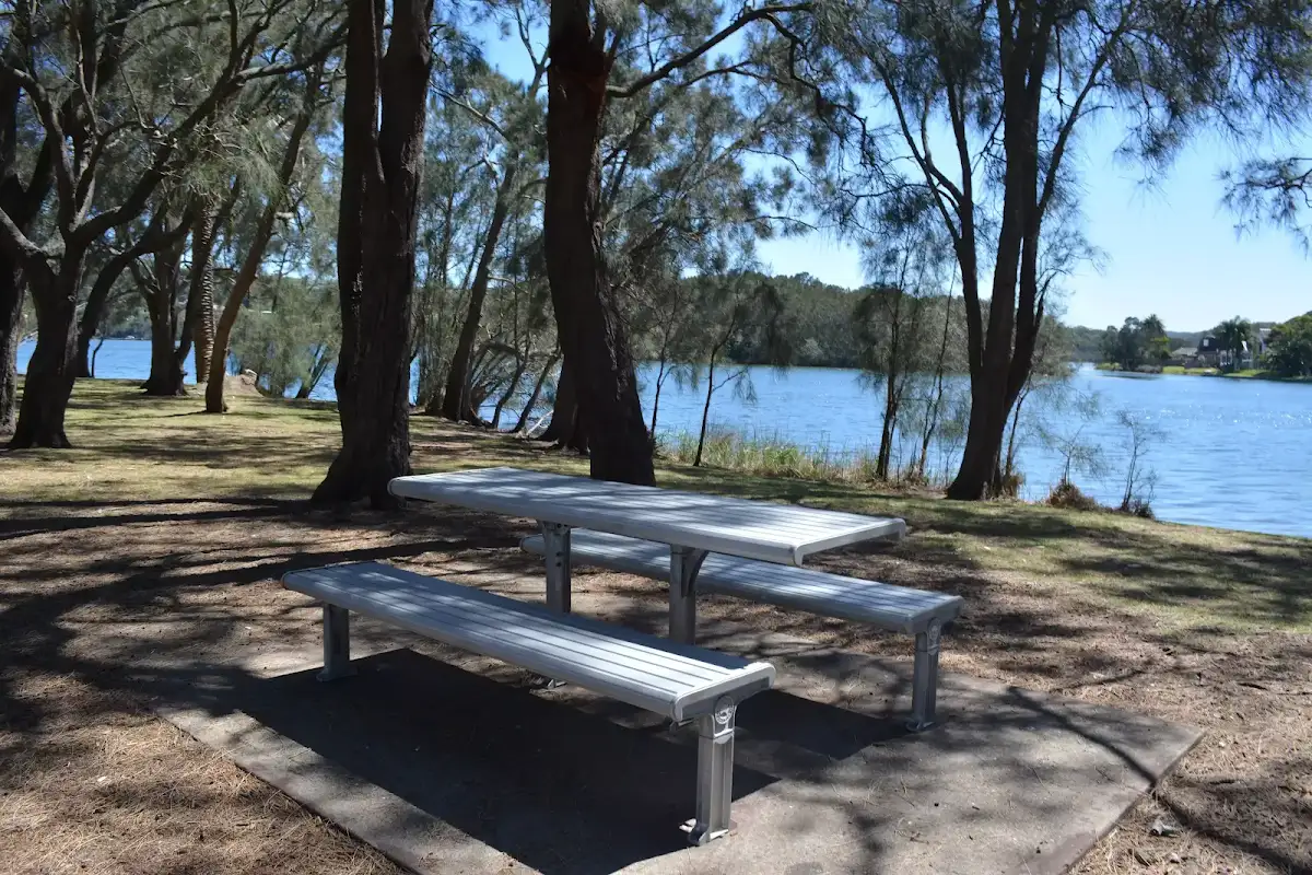
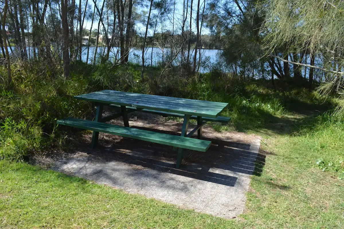
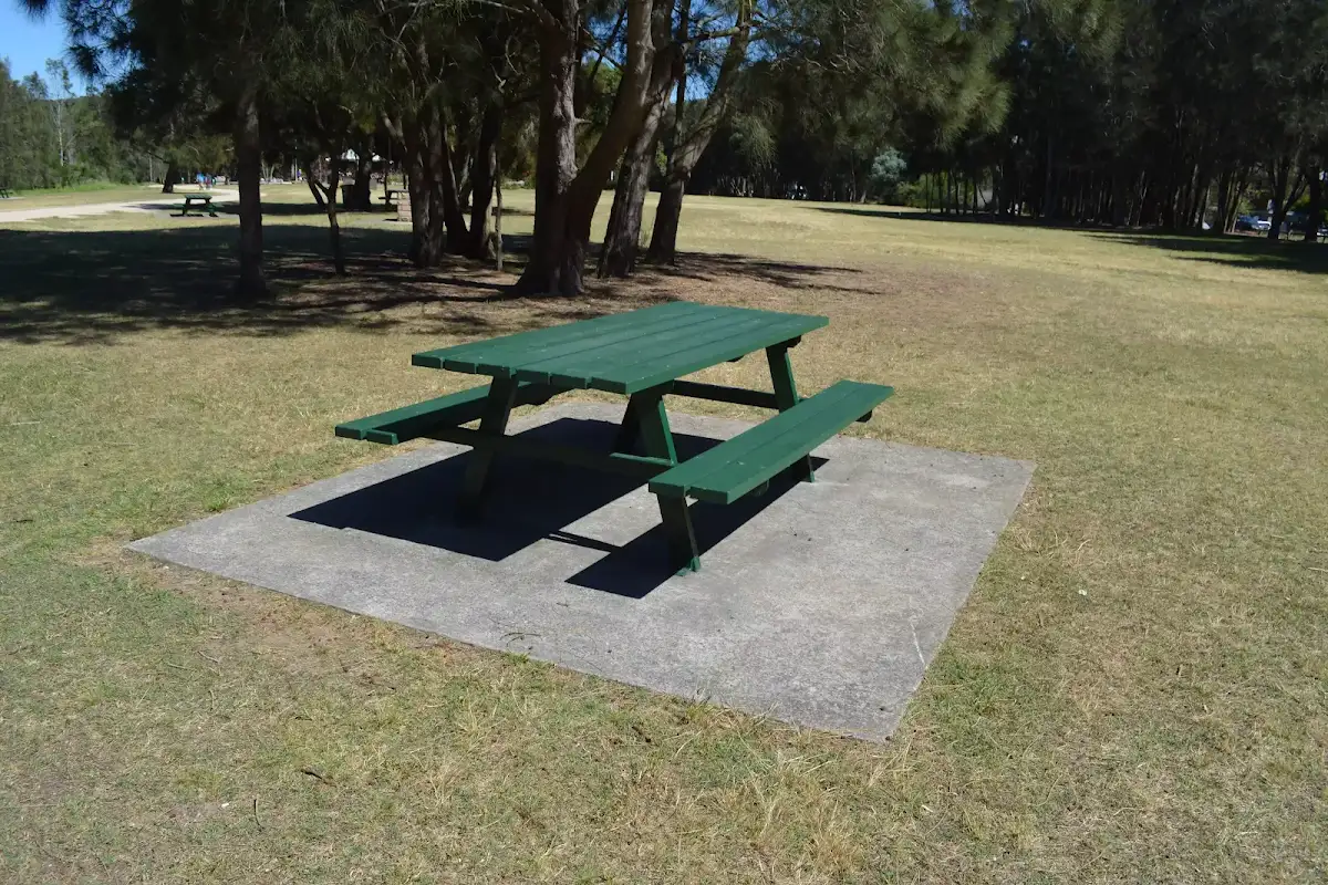
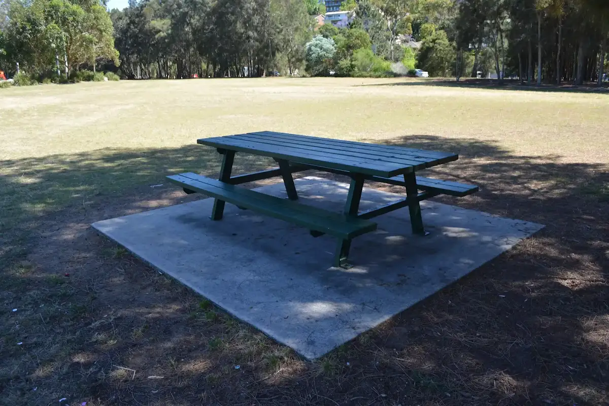
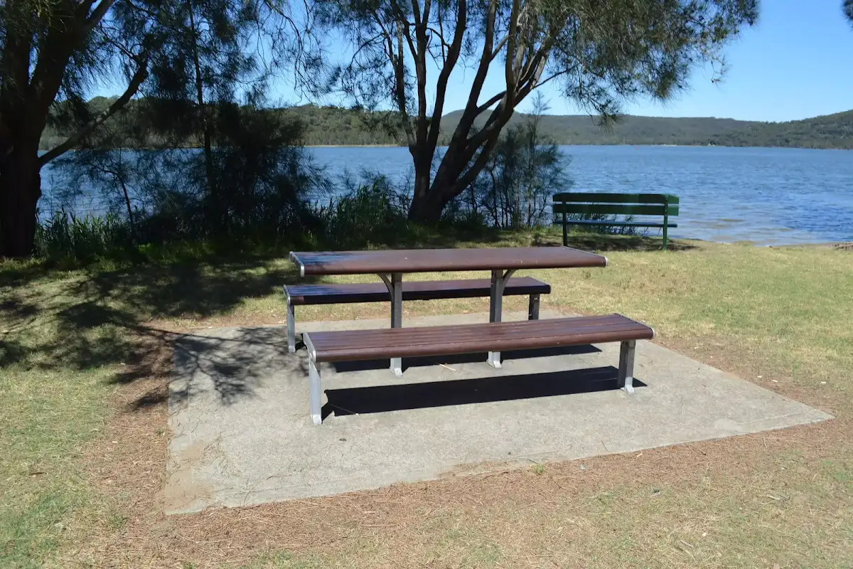
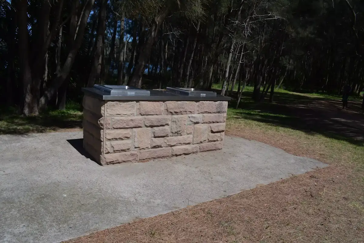
Sport and Rec boat shed picnic area
(0km) Sport and Recreation boat shed → James Wheeler Place Intersection


(1km) James Wheeler Place Intersection → RSL War Veterans access intersection
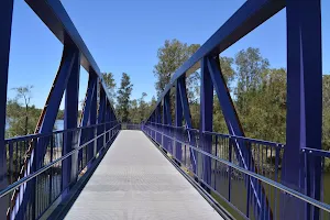
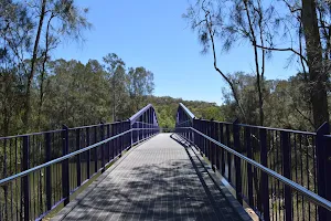
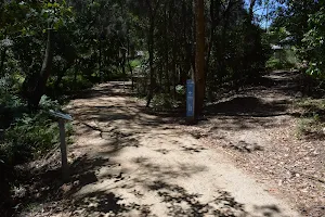
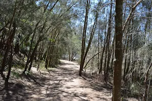
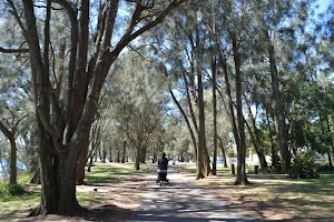
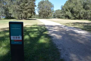
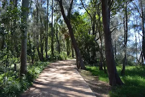
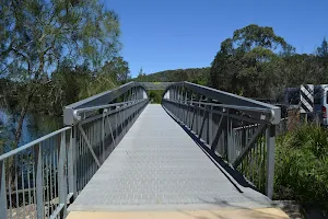
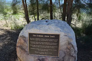
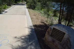
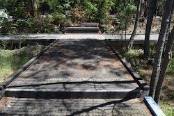
Continue straight: From the intersection, this walk follows the 'Jamieson Park 2km' arrow[46] along the gravel track keeping the road and village a short distance to the right. This walk continues for about 50m past the continuing series of information signs (on the left) remembering each war [47][48][49] before crossing to a 15m long fiberglass bridge with timber handrailing[50] and then continues along the gravel track for about 40m past more information signs (on the left) [51][52][53]. This walk then heads gently uphill to a 3-way intersection marked by a 'RSL War Veterans North' signpost[54] (on the right).
(2km) RSL War Veterans access intersection → Northern end of Jamison Park


(3km) Northern end of Jamison Park → Int behind Jamison Park

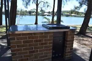
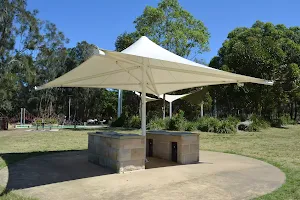
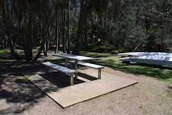
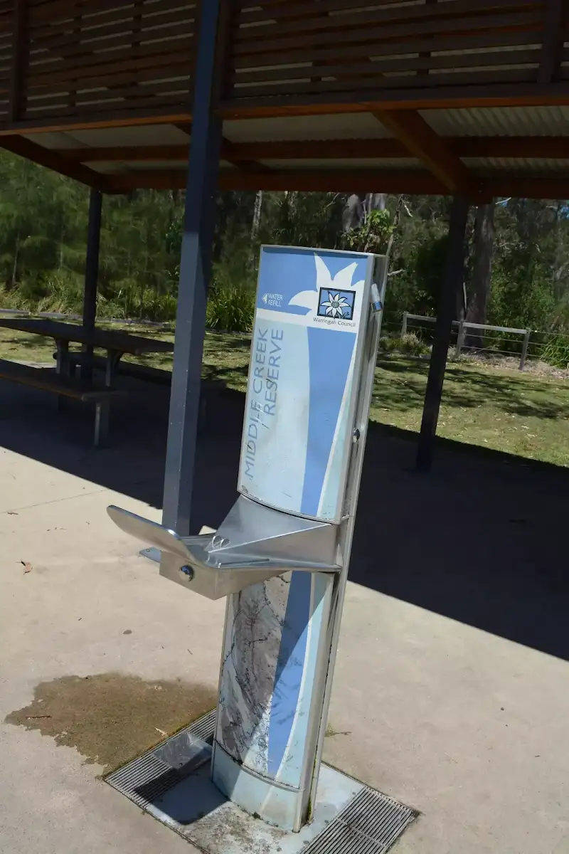
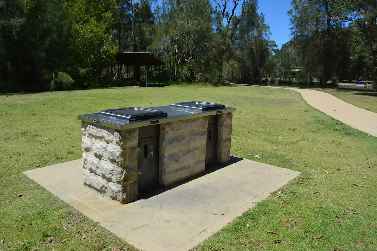
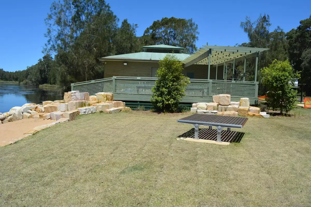
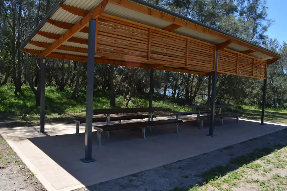
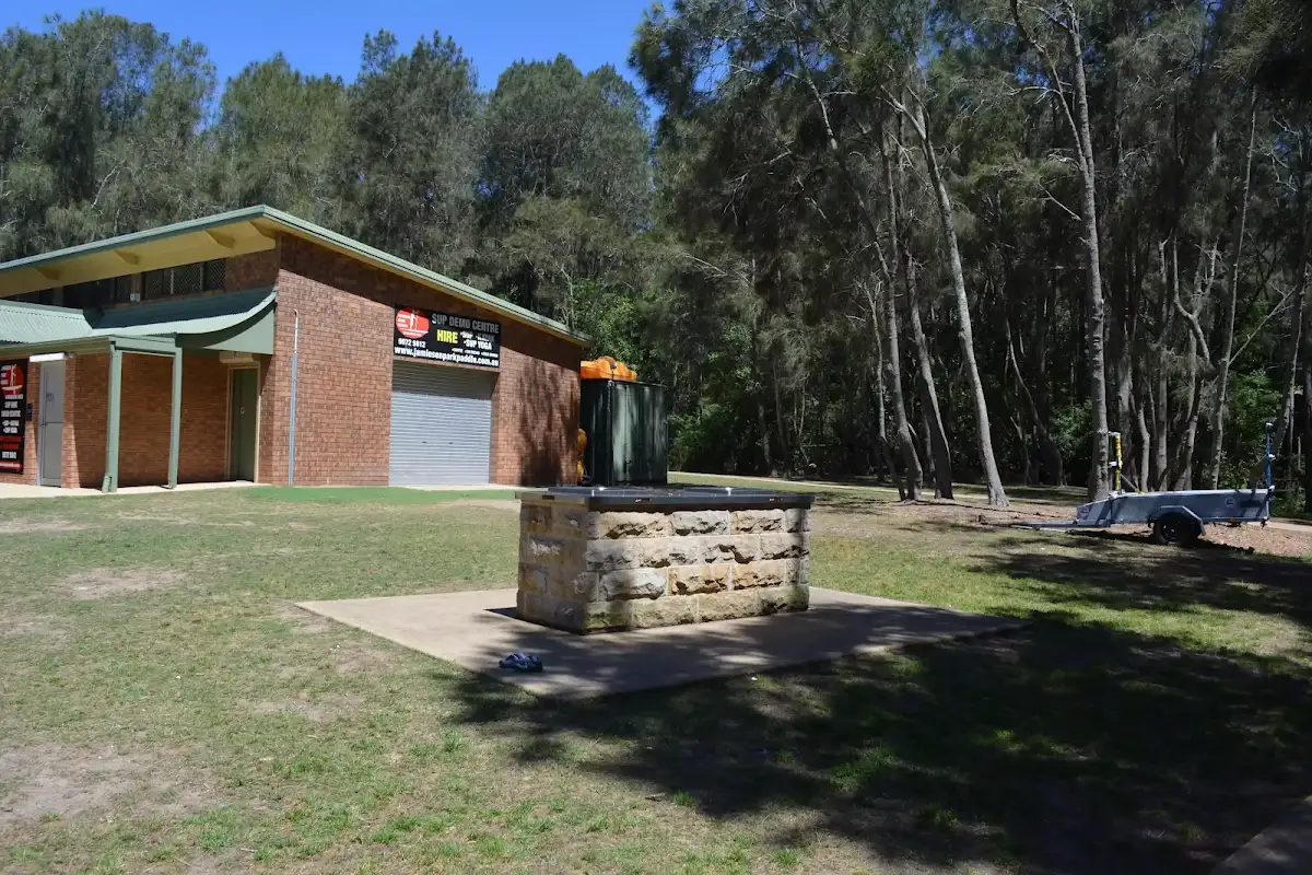
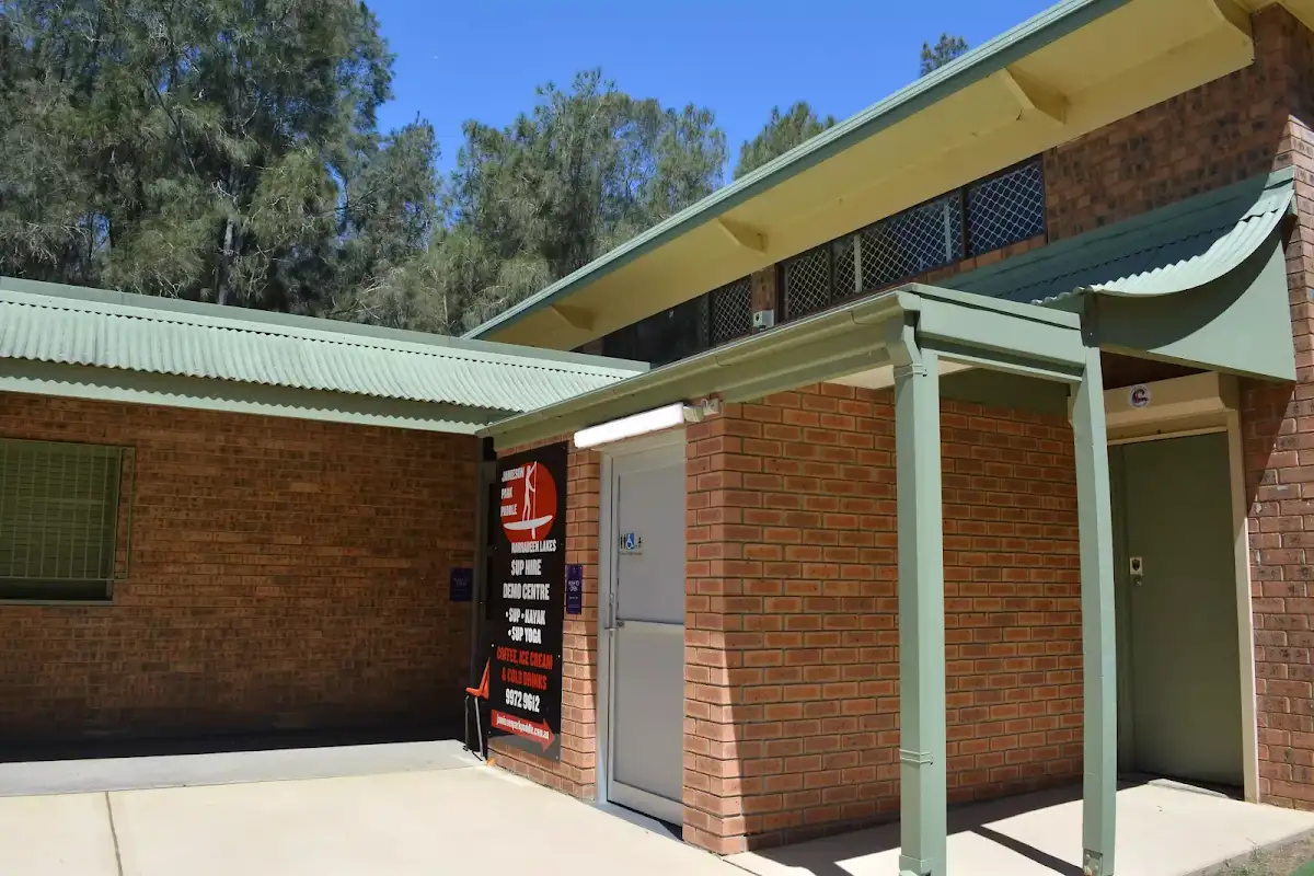
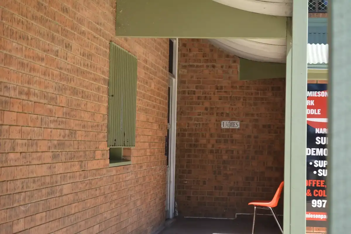
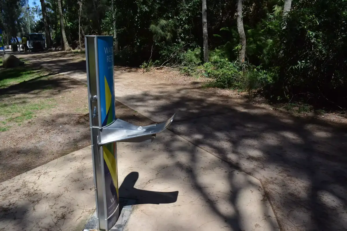
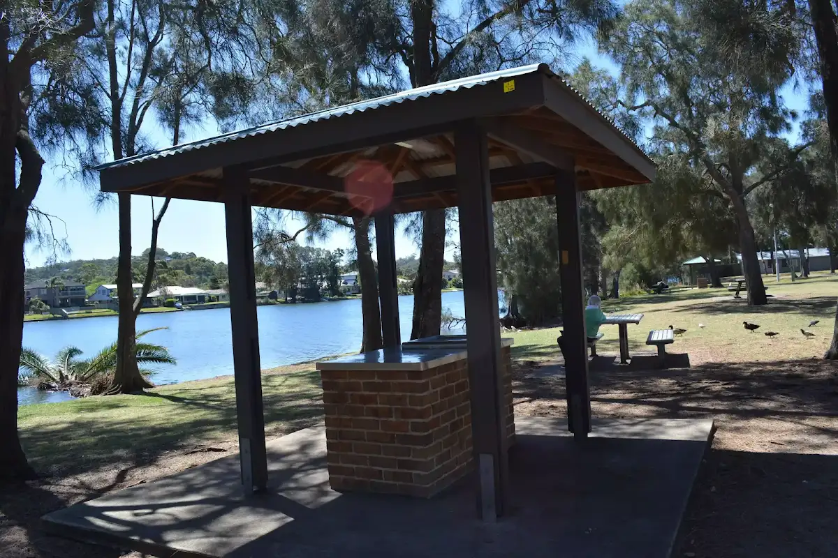
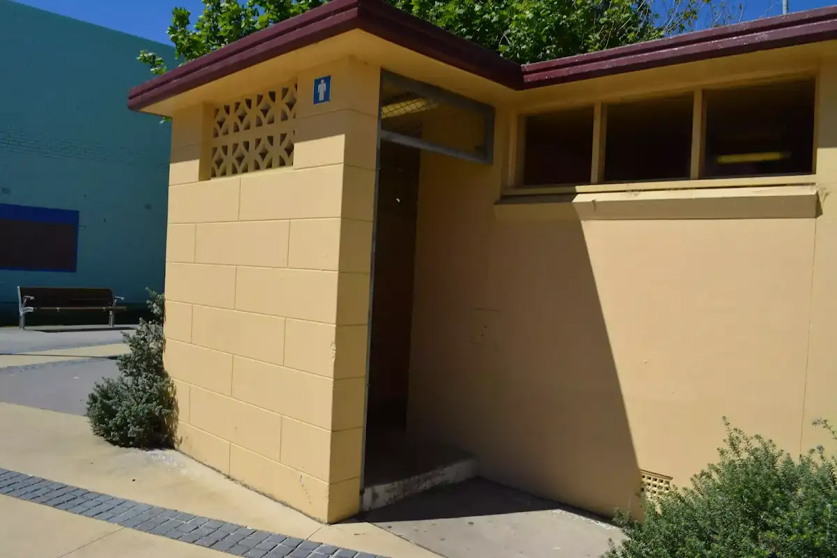
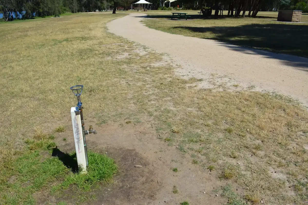
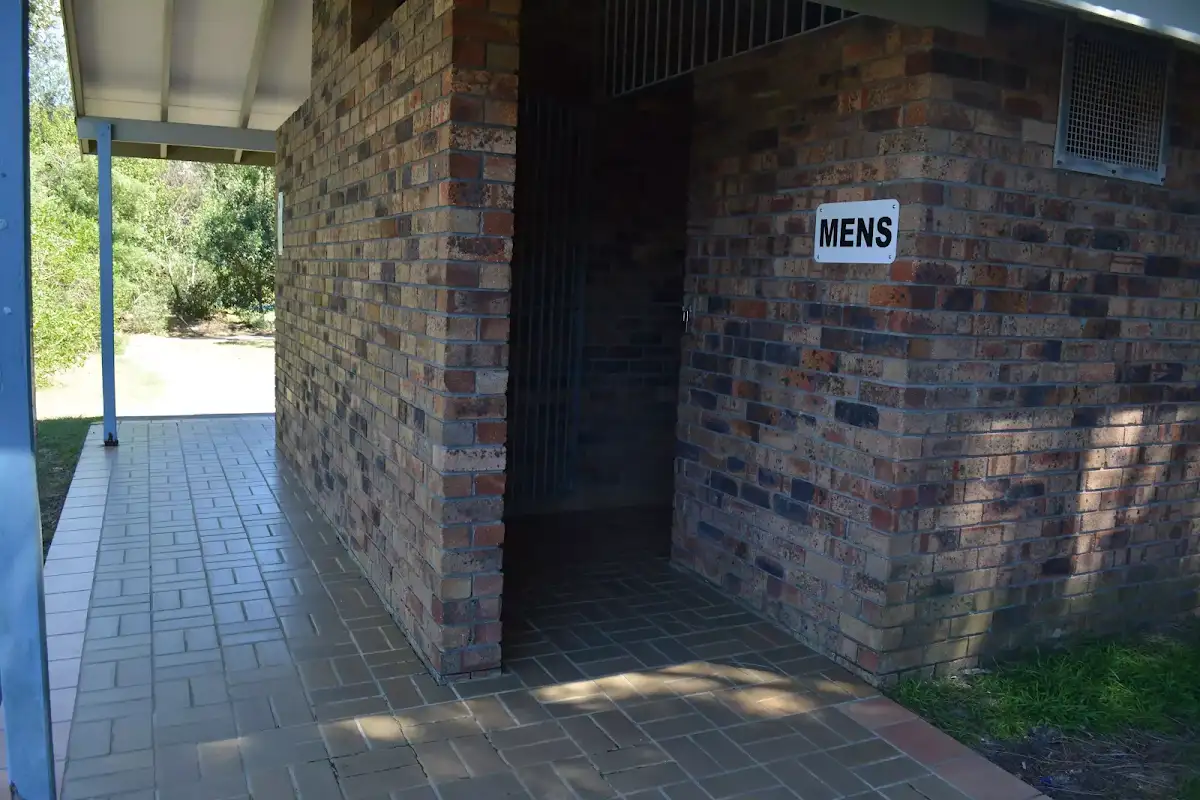
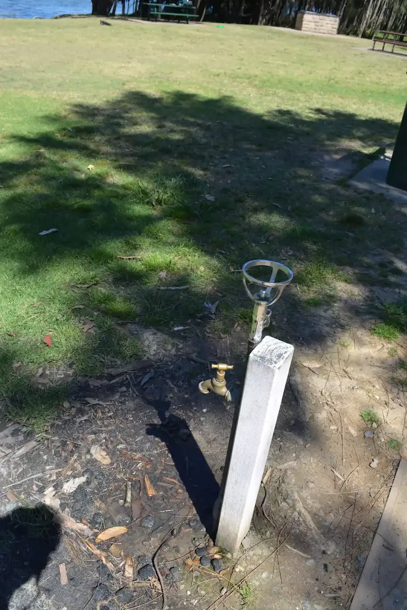
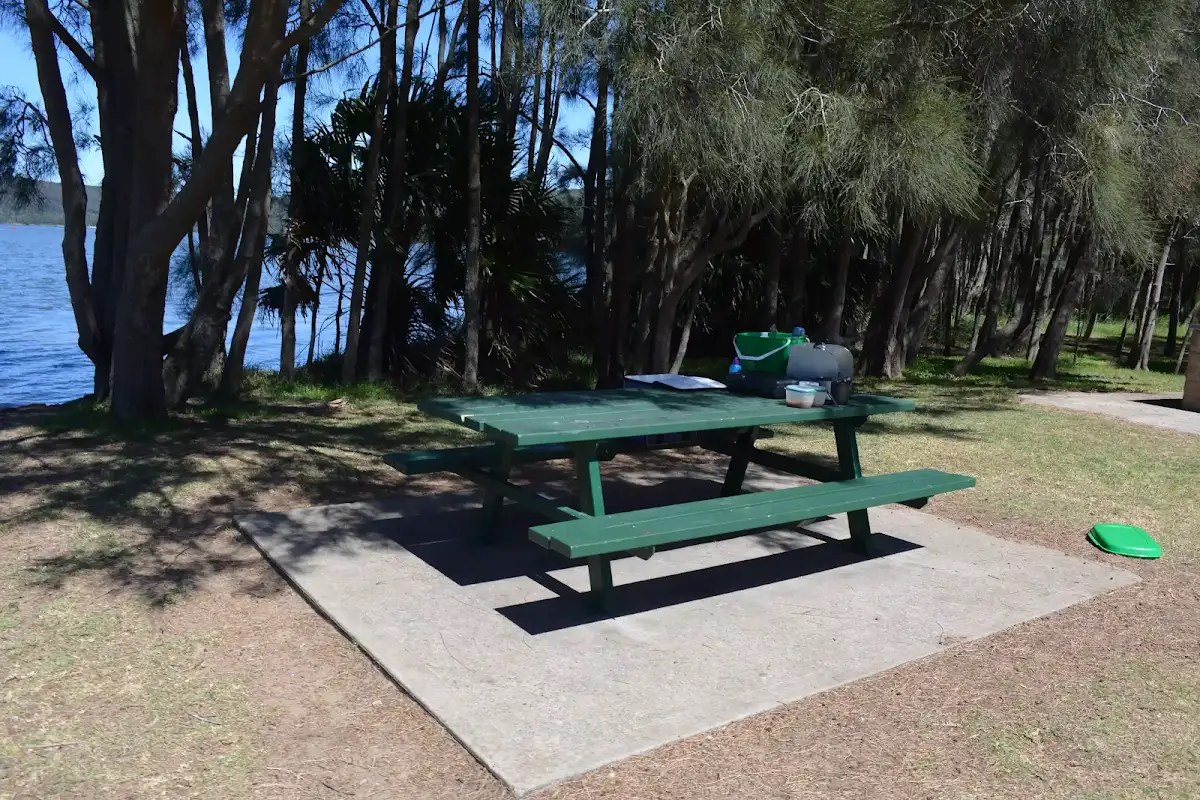
Turn right: From just beside the boat ramp[92] at the end of Jamison Park car park, this walk follows the footpath gently uphill towards the sailing club. After about 20m this walk passes a picnic table[93], BBQ[94], as well at the accessibleand public toilets[95] (in the 'Narrabeen Lakes sailing Club' building). The walk continues along the footpath for just over 100m, as it leads behind the club building, past another picnic table[96], to come to a T-intersection beside the 'Water Refill Jamison Park'[97] station. Now Turn left to rejoin the main walk .


(3km) Northern end of Jamison Park → Int behind Jamison Park
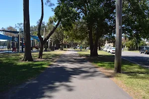
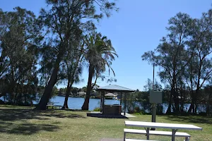
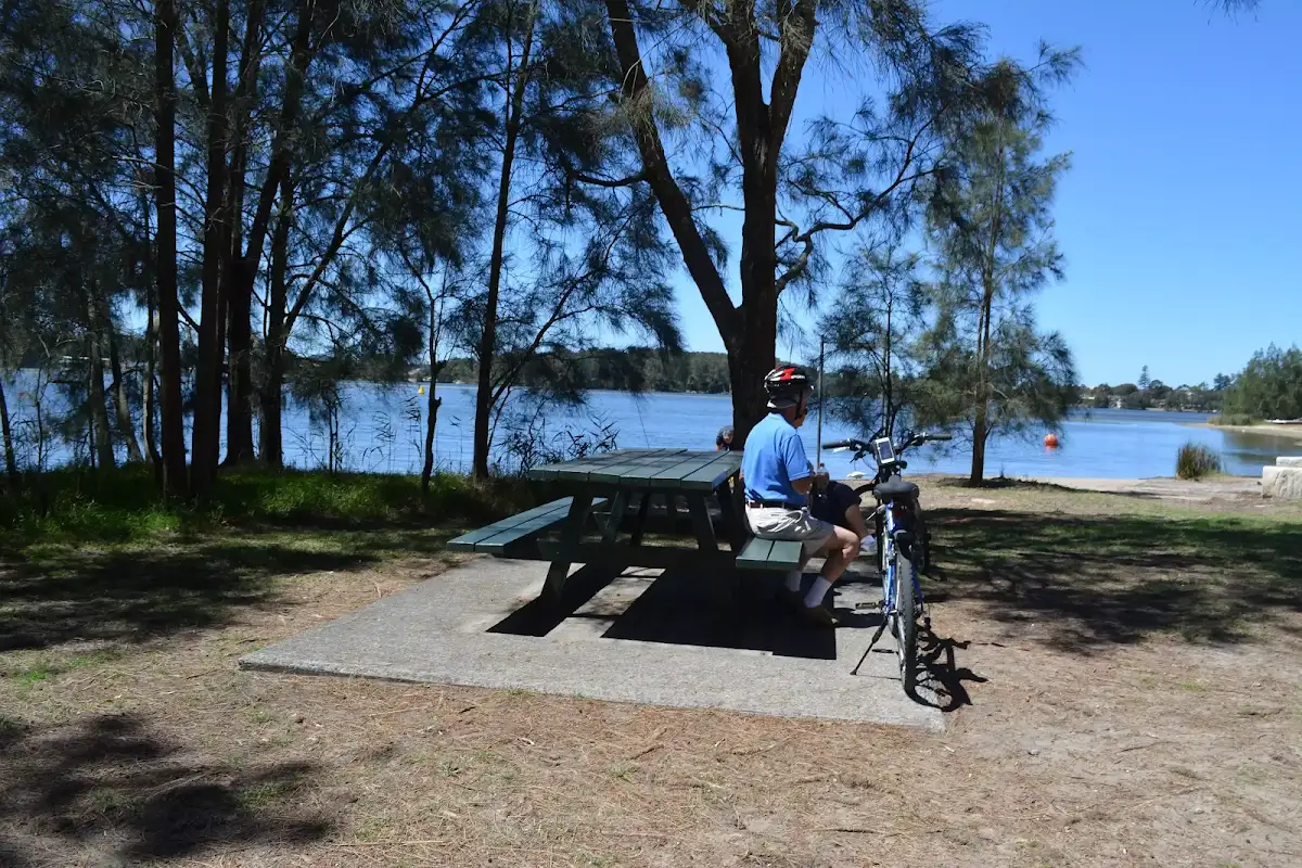
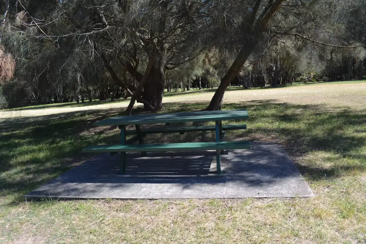
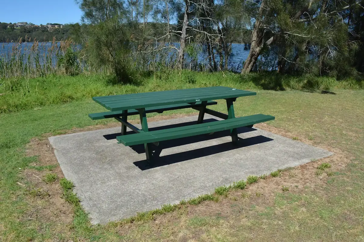
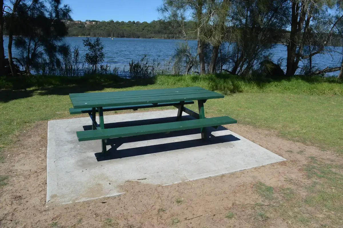
Jamison Park

(4km) Int behind Jamison Park → Wheeler Park
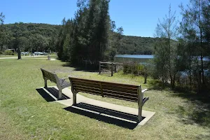
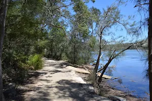
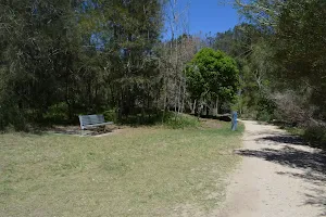
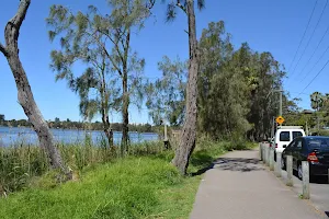
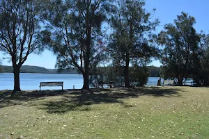
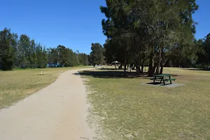
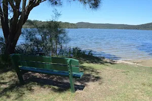
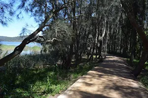
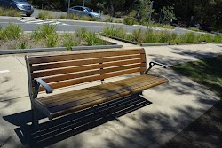
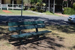
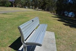
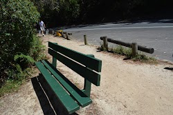
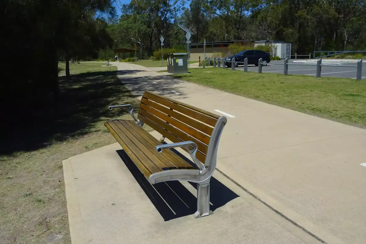
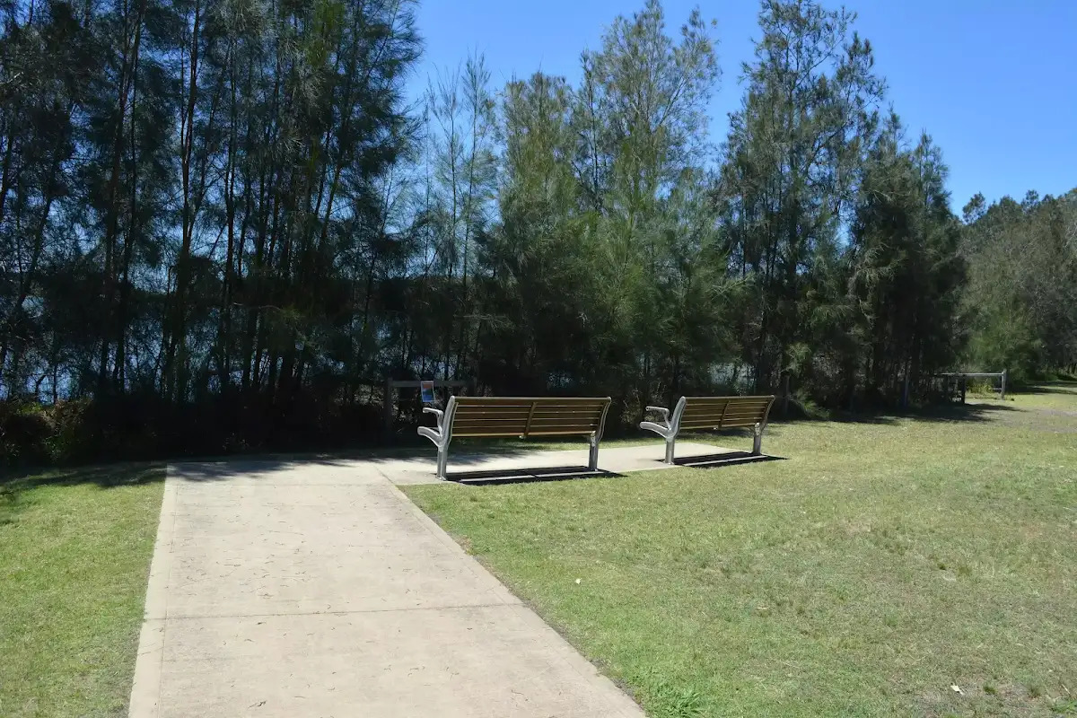
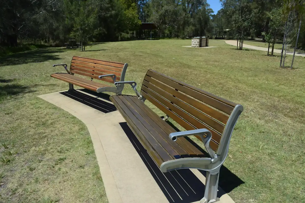
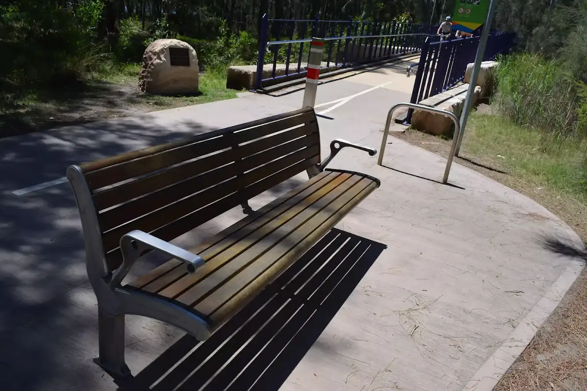
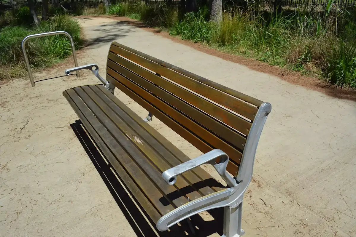
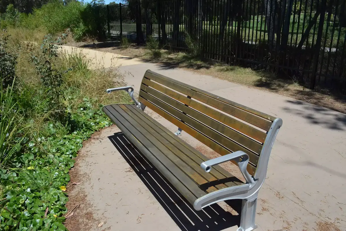
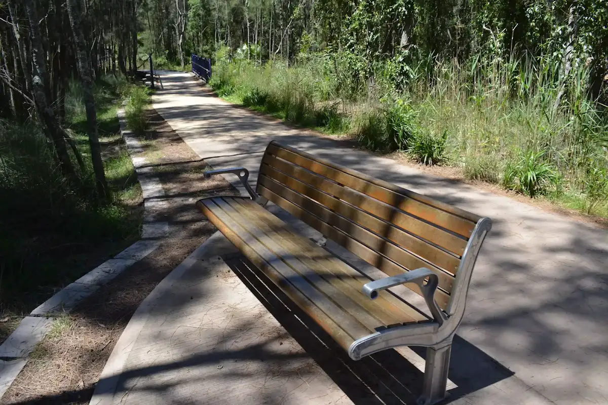
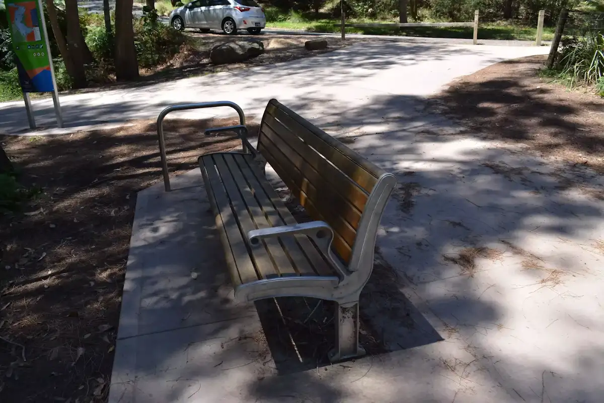
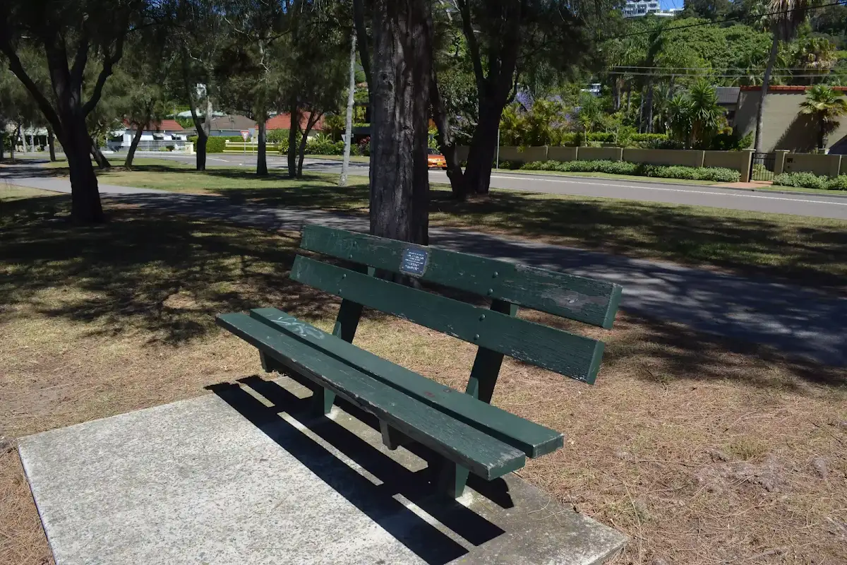
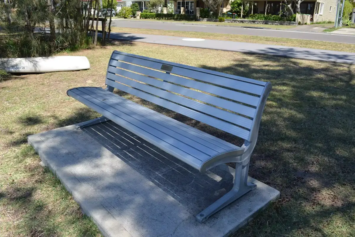
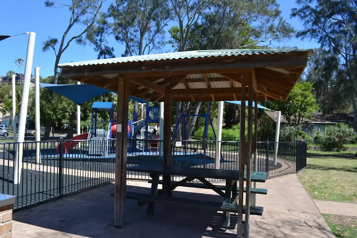
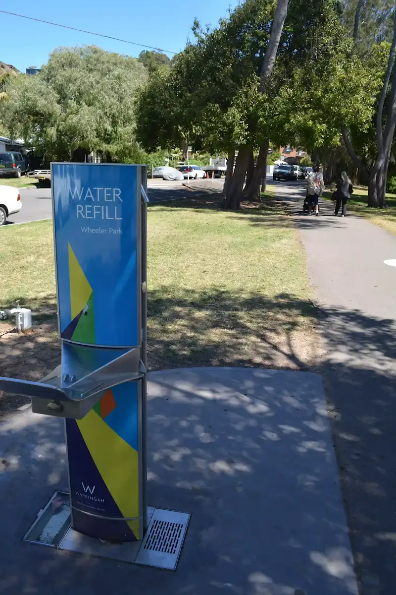
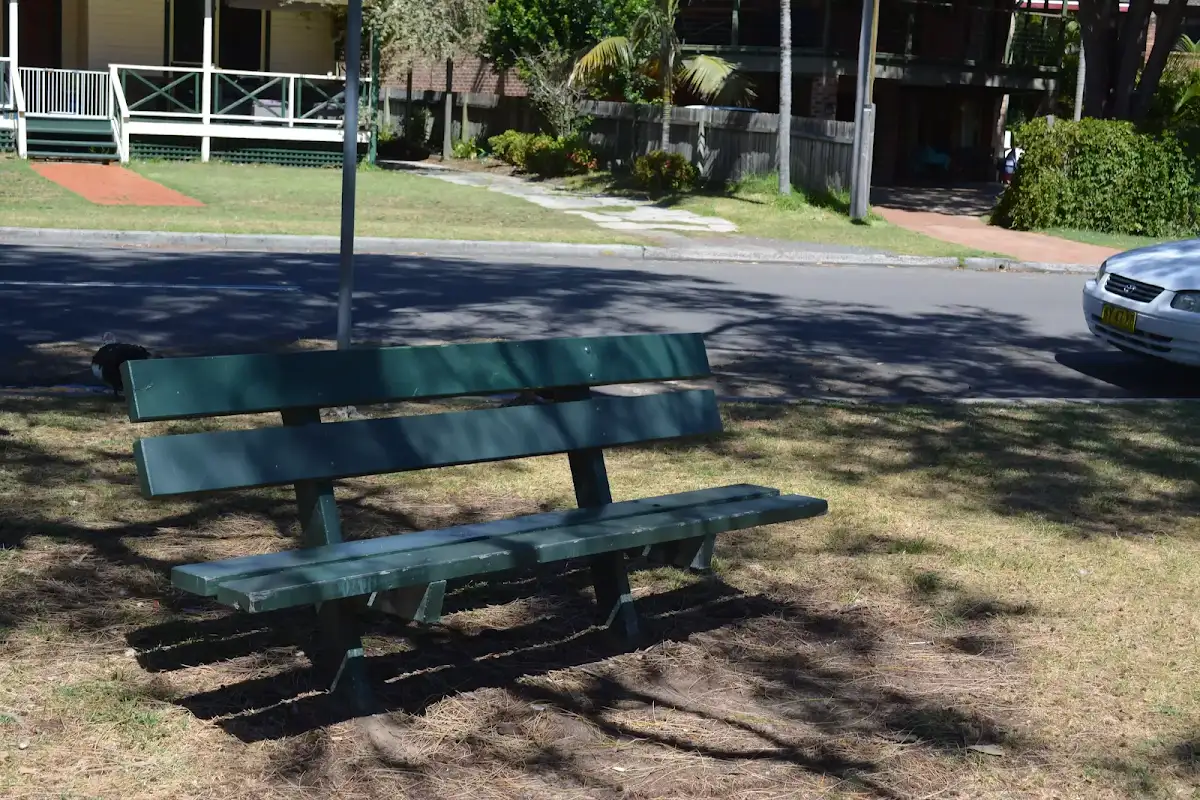
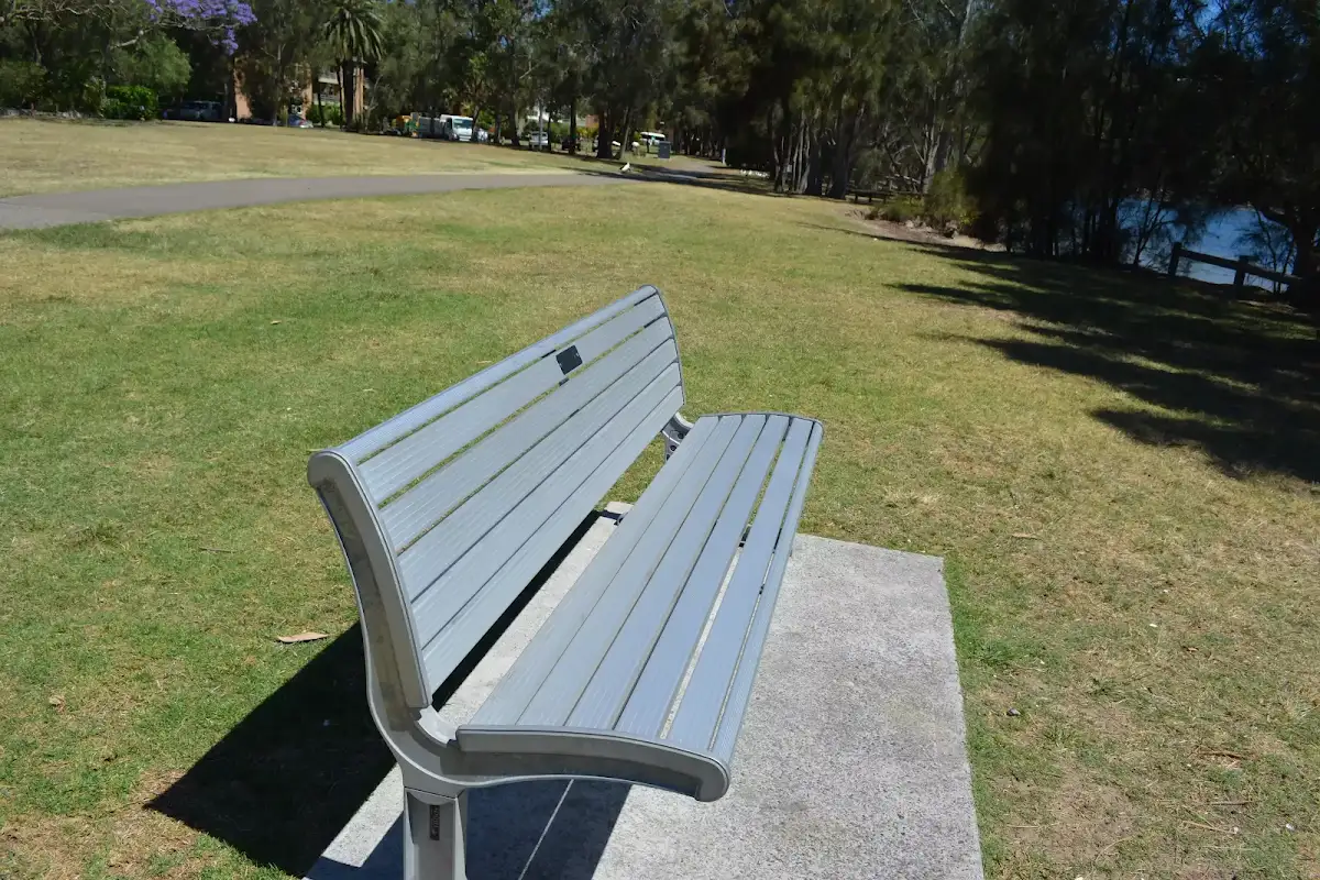
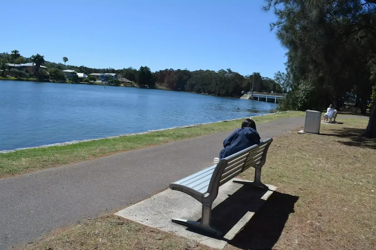
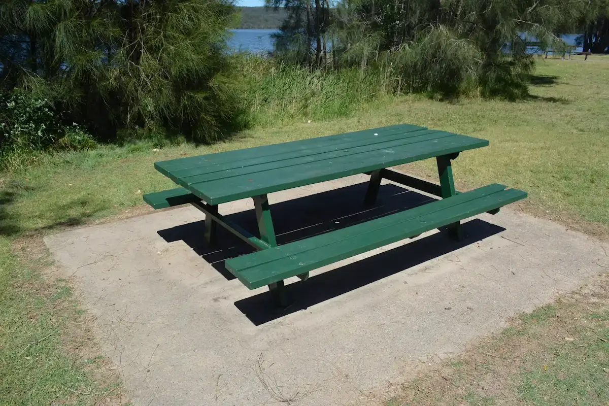
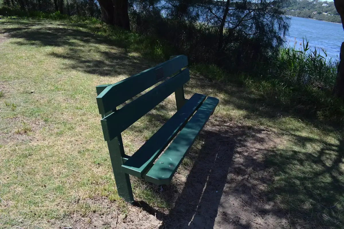
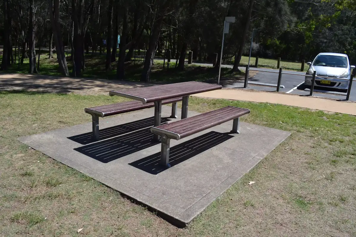
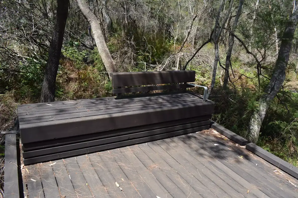
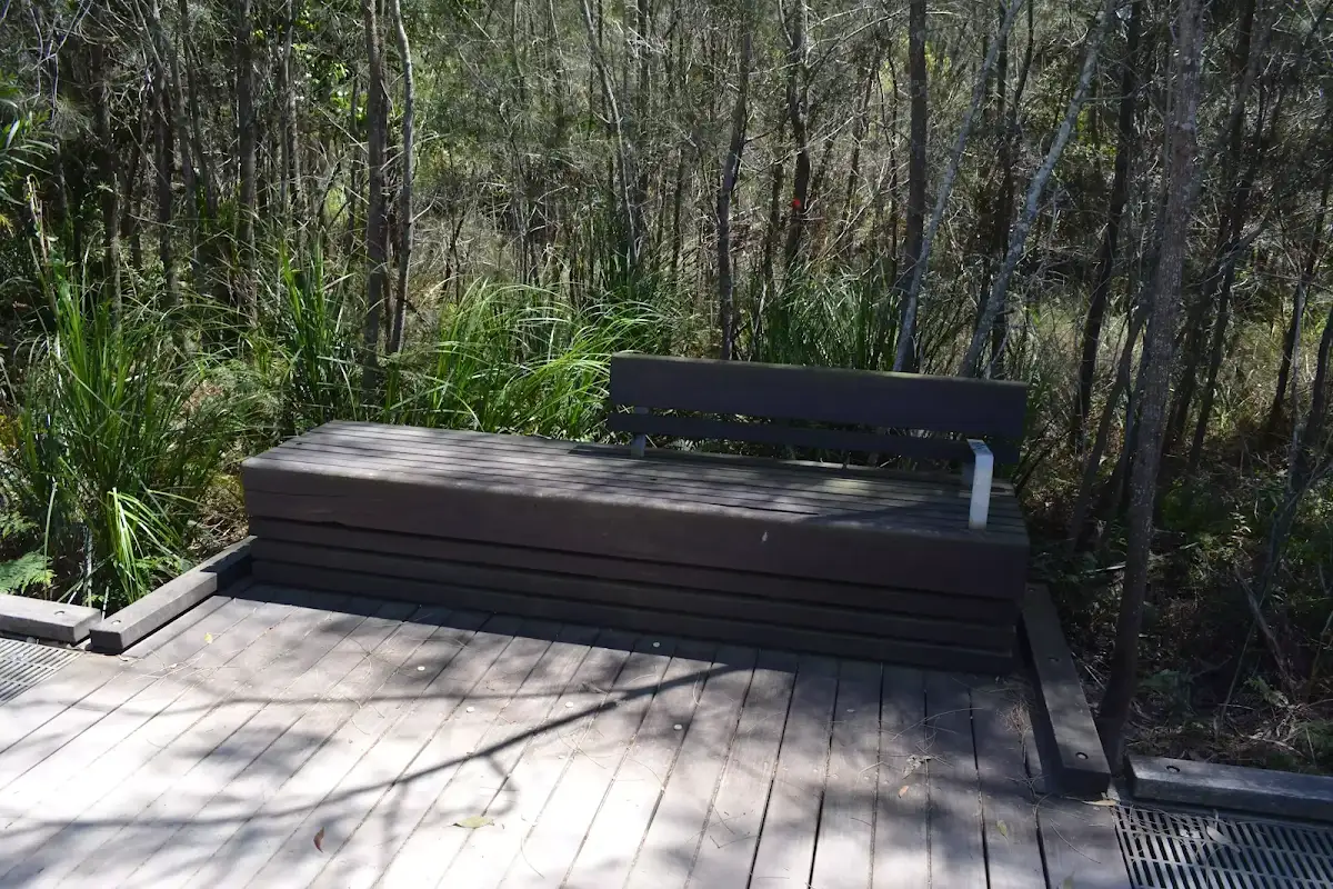
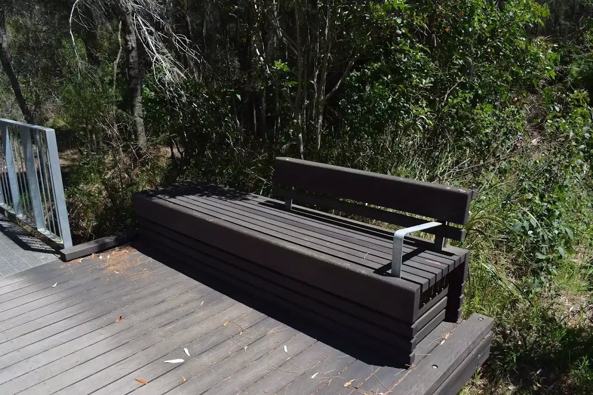
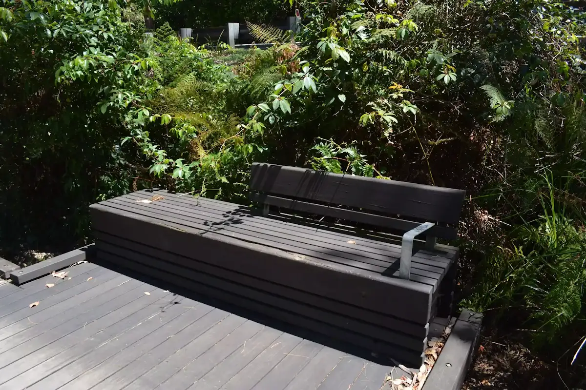
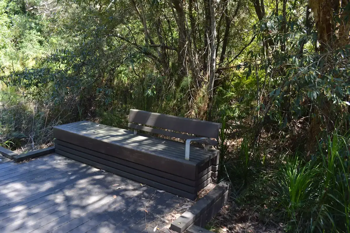
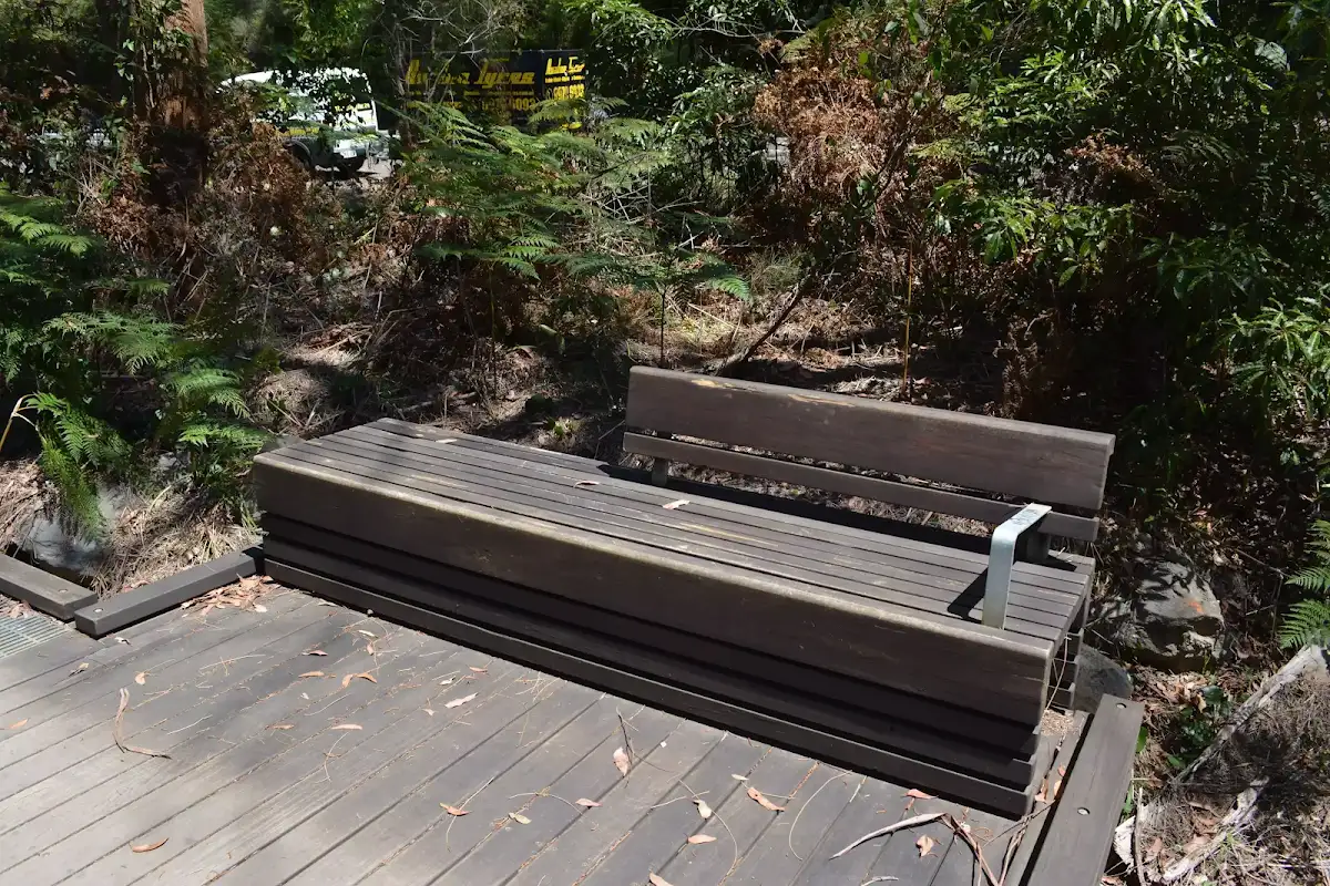
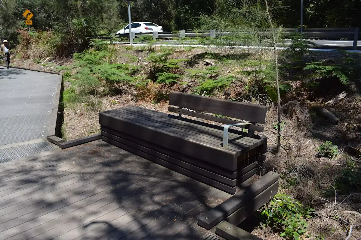
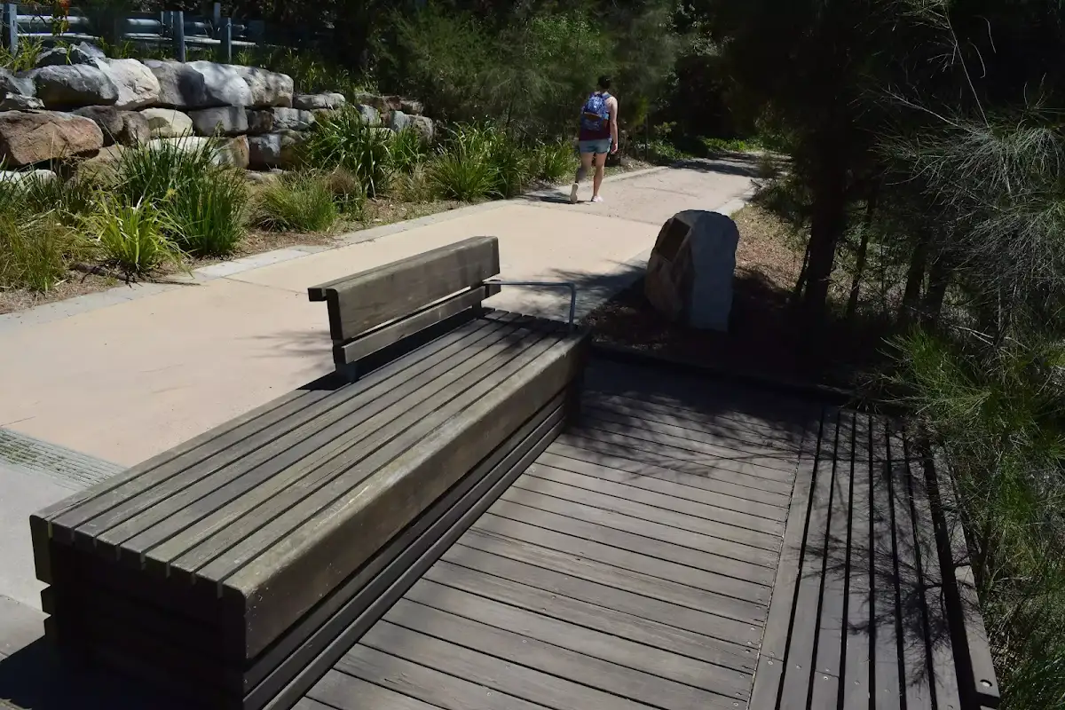
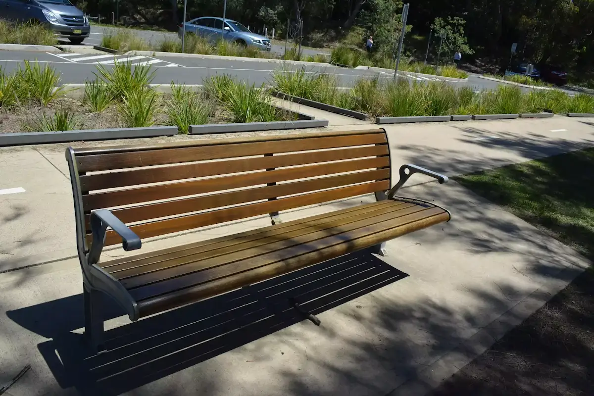
Continue straight: From the entrance to 'Jamison Park', this walk follow the footpath out of the park keeping 'The Esplanade' to the right[109]. The path leads between the lagoon and the road for about 130m to pass the end of 'Nioka Rd'. The walk continues beside the lagoon for another 250m to find a green timber bench seat[110], then just 100m later to find another metal[111] and timber seat[112]. The walk continues along the footpath for 70m to pass a roundabout, then past some houses to turn left onto the footpath beside 'Lakeside Rd'[113]. The walk continues beside 'Lakeside Rd' for about 70m to come to the 'water refill' station[114] beside the playground[115] at Wheeler Park.


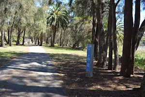
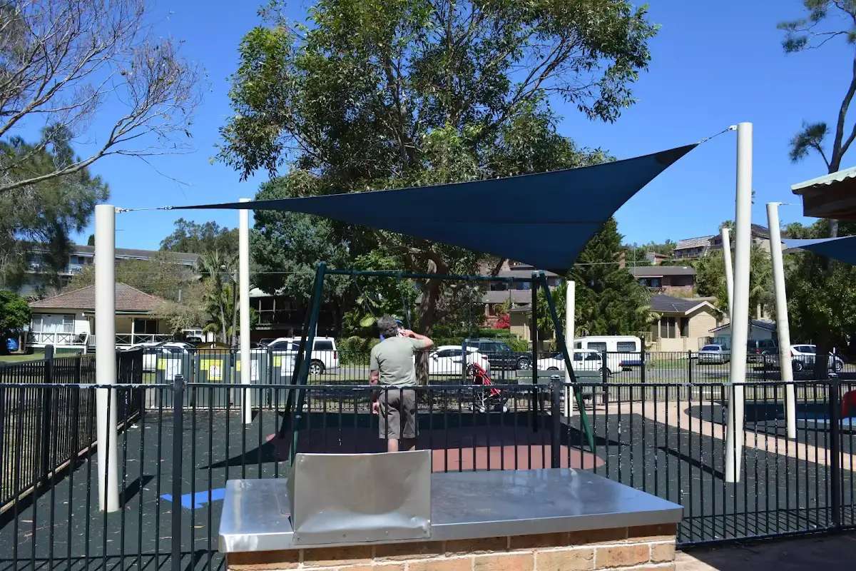
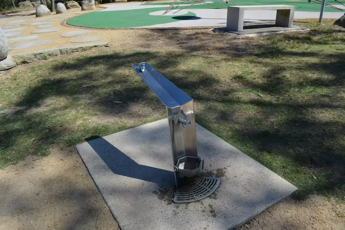
Wheeler Park


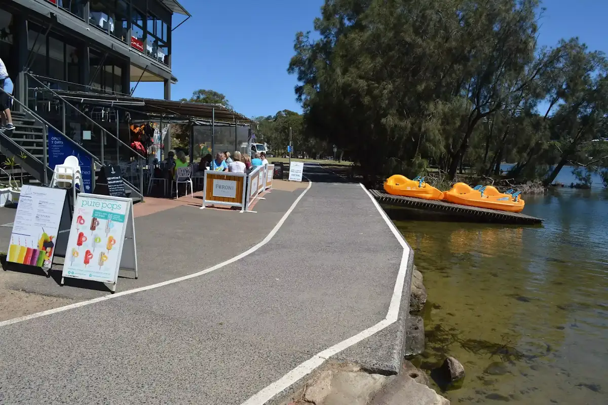
(4km) Wheeler Park → Coffee and Kayaks

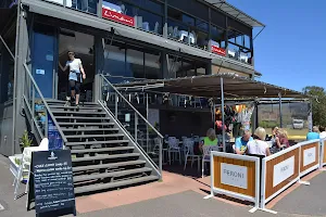
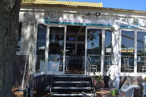
The Boatshed cafe
(5km) Coffee and Kayaks → Berry Reserve


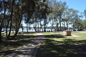
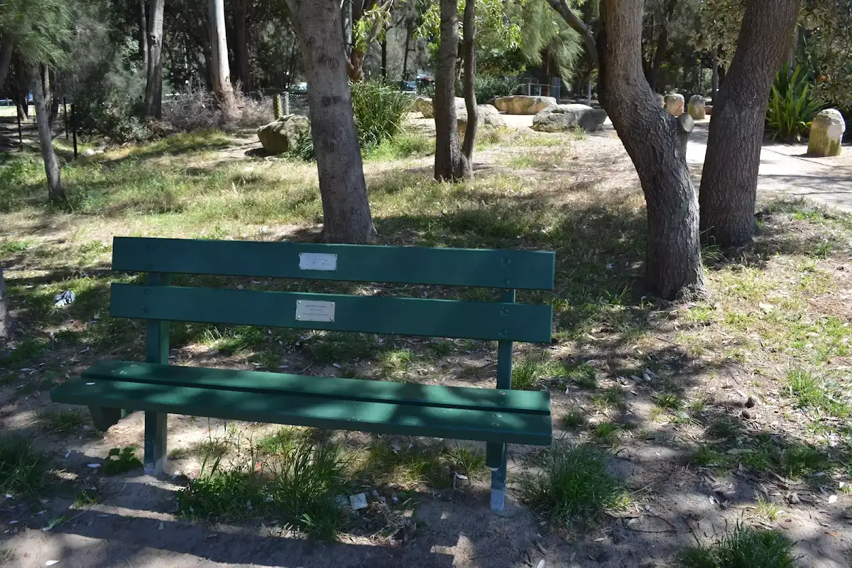
Berry Reserve


(5km) Berry Reserve → H20 cafe
H20 cafe
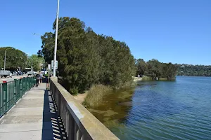
(5km) H20 cafe → South end of Pitwater Rd Bridge

(5km) South end of Pitwater Rd Bridge → East end of Billarong Reserve
(6km) East end of Bilarong Reserve → Bilarong Reserve playground


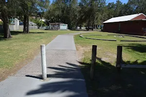
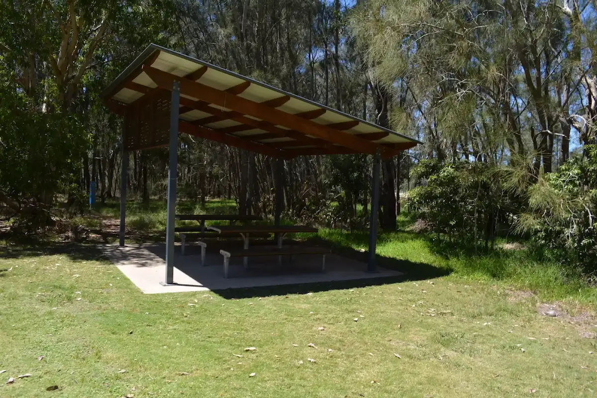
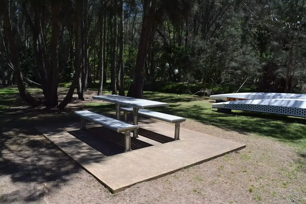
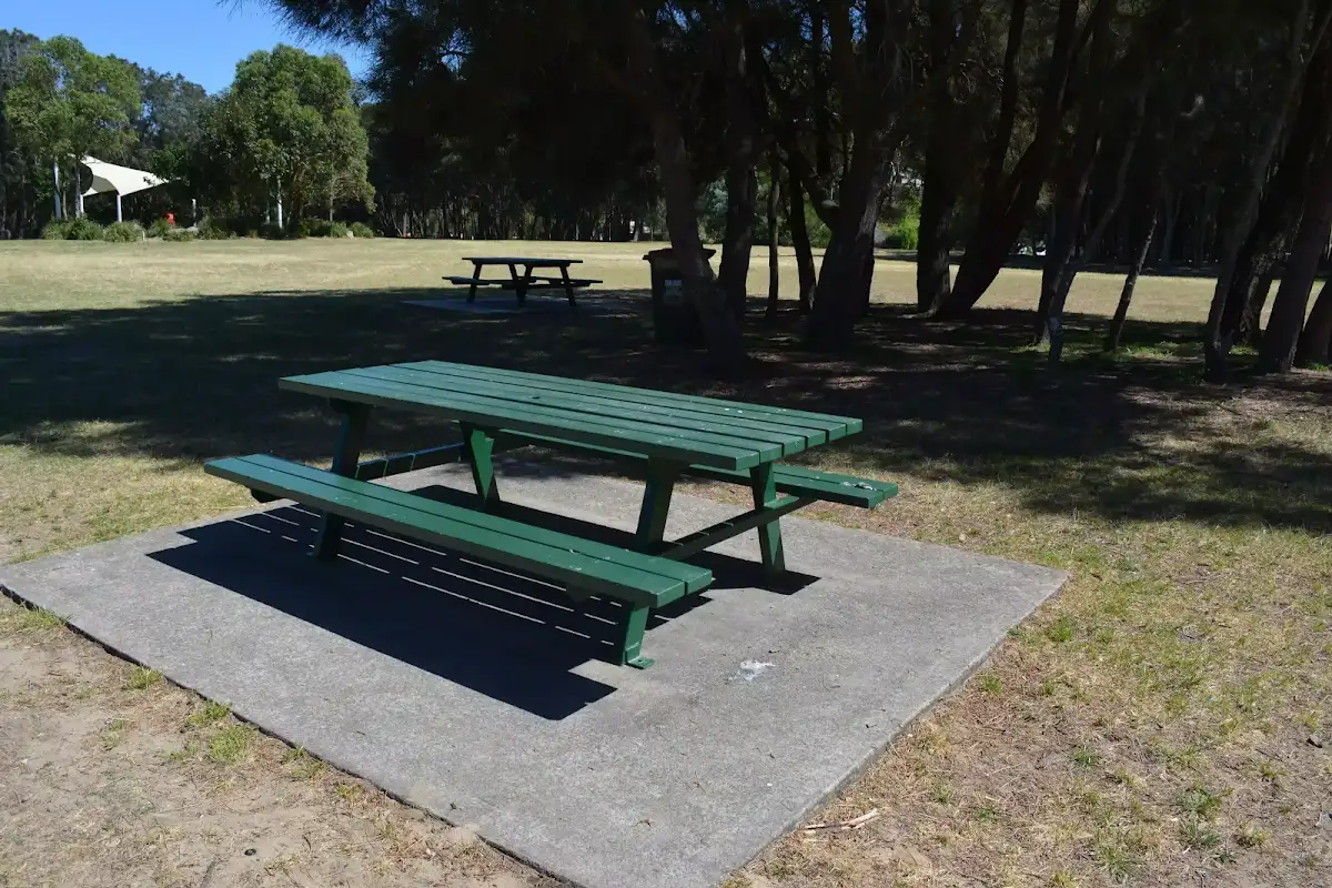
Bilarong Reserve playground and picnic area

(6km) Bilarong Reserve playground → Bilarong Reserve boat ramp

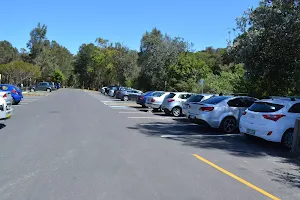
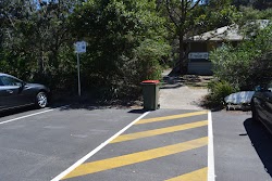
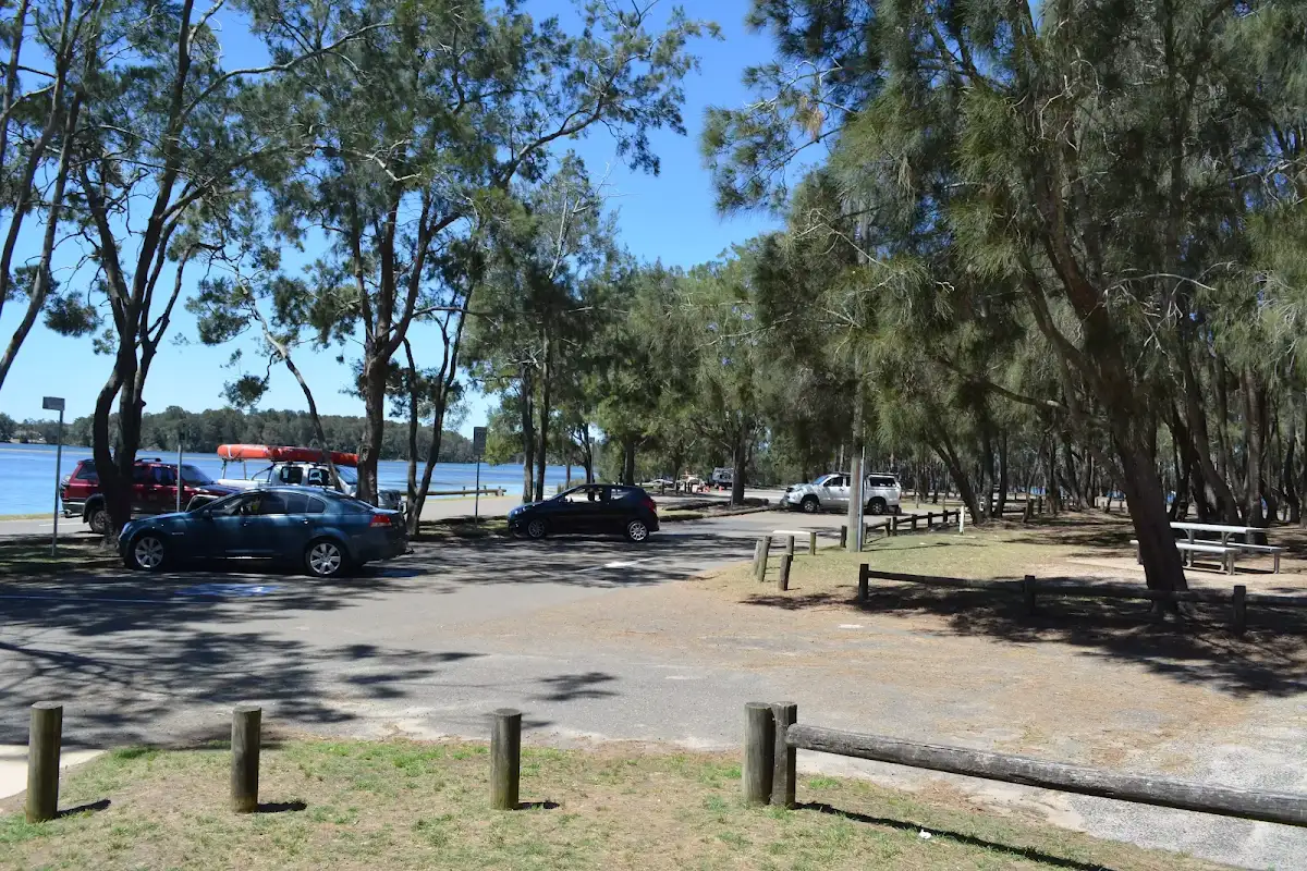
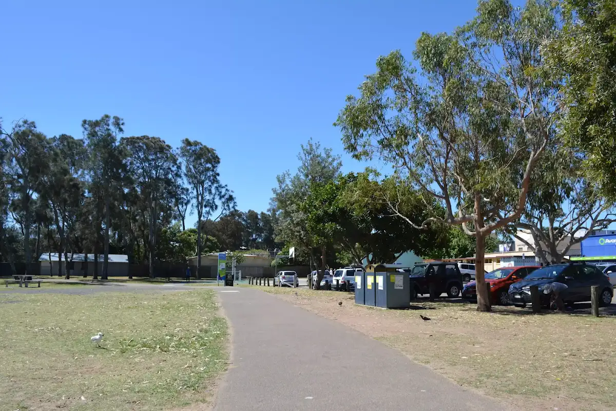
Bilarong Reserve car park
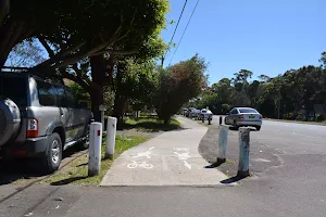
(6km) Bilarong Reserve boat ramp → Bilarong Reserve turning circle


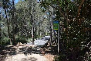
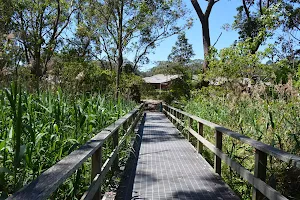
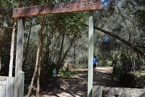
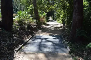
Turn left: From the intersection, this walk heads along the road[197] past the timber bollards keeping the lagoon (through the trees) to the left. This walk continues for about 60m to come to the 'Bilarong Sanctuary' gate [198] (1.3m wide) at the far end of the turning circle.
(7km) Billarong Reserve turning circle → Deep Creek Intersection


(8km) Deep Creek Intersection → Cement Works Lookout


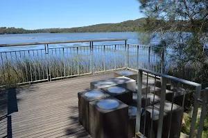
Cement Works Lookout

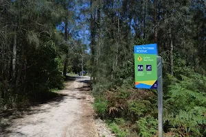
(8km) Cement Works Lookout → Northern end of Middle Creek Reserve


(9km) Northern end of Middle Creek Reserve → Middle Creek Reserve boat ramp
Maps for the Narrabeen Lagoon Trail (from Middle Creek) walk
You can download the PDF for this walk to print a map.
These maps below cover the walk and the wider area around the walk, they are worth carrying for safety reasons.
| Mona Vale | 1:25 000 Map Series | 91301S MONA VALE | NSW-91301S |
| Sydney | 1:100 000 Map Series | 9130 SYDNEY | 9130 |
Cross sectional view of the Narrabeen Lagoon Trail (from Middle Creek) bushwalking track
Analysis and summary of the altitude variation on the Narrabeen Lagoon Trail (from Middle Creek)
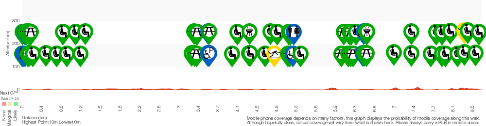
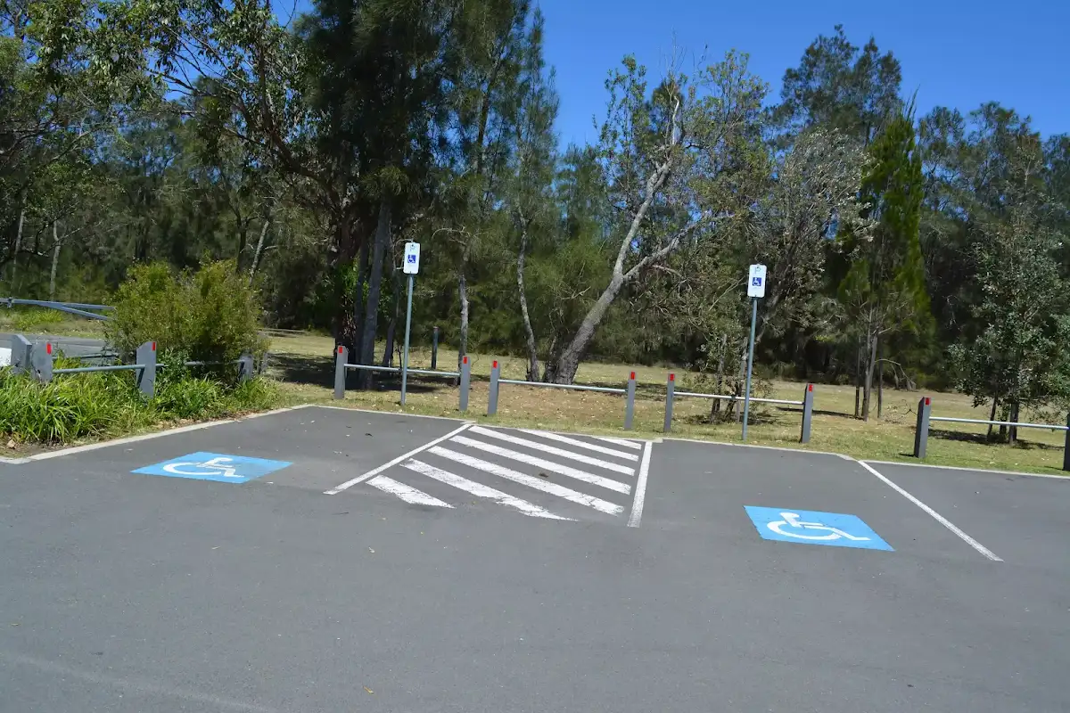
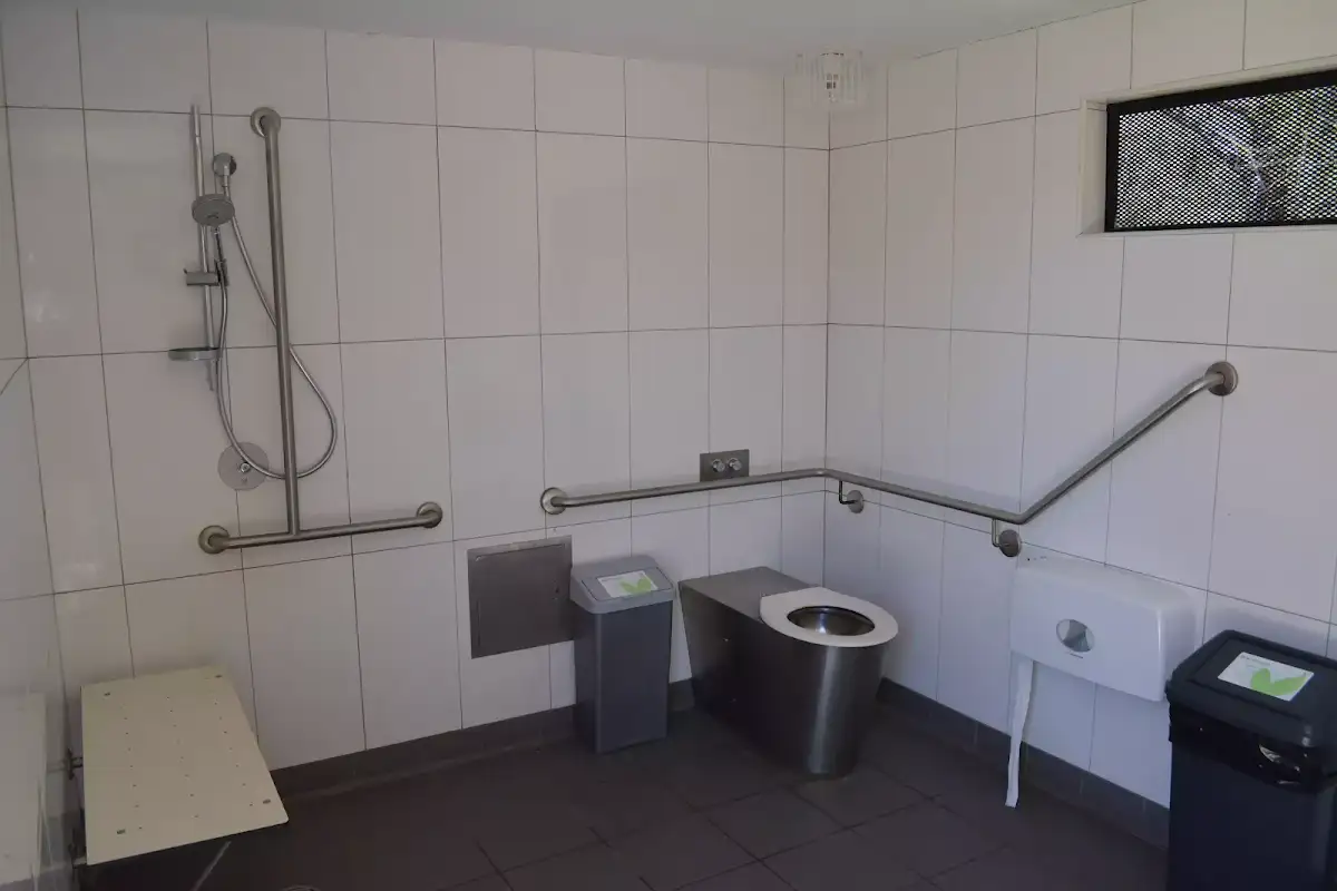
Accessibility Profile
This page is designed to give you a sense of the facilities that help improve access for people with disabilities or mobility restrictions. See tracknotes and map for navigation, point of interest and other information. See the Accessibility Details below for specific information about each facility.
Accessibility Details


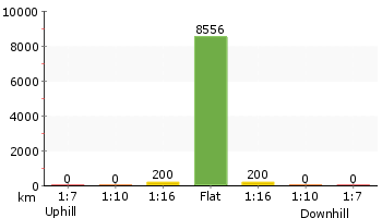
Overview of this walks grade – based on the AS 2156.1 – 2001
Under this standard, a walk is graded based on the most difficult section of the walk.
| Length | 8.6 km | ||
| Time | 2 hrs 30 mins | ||
| . | |||
Grade 1/6 Very easy | AS 2156.1 | Gradient | Flat, no steps (1/6) |
| Quality of track | Smooth and hardened path (1/6) | ||
| Signs | Clearly signposted (1/6) | ||
| Experience Required | No experience required (1/6) | ||
| Weather | Weather generally has little impact on safety (1/6) | ||
| Infrastructure | Generally useful facilities (such as fenced cliffs and seats) (1/6) |
Some more details of this walks Grading
Here is a bit more details explaining grading looking at sections of the walk
Gradient
This whole walk, 9km is flat with no steps.
Quality of track
This whole walk, 9km follows a smooth and hardened path.
Signs
This whole walk, 9km is clearly signposted.
Experience Required
This whole walk, 9km requires no previous bushwalking experience.
weather
This whole walk, 9km is not usually affected by severe weather events (that would unexpectedly impact safety and navigation).
Infrastructure
This whole walk, 9km is close to useful facilities (such as fenced cliffs and seats).
Other Nearby walks
A list of walks that start near the Narrabeen Lagoon Trail (from Middle Creek) walk.
The Bare Creek Track
8.2 km Return, 3 hrs 15 mins
Moderate track
Quarry Rd Track
5.5 km One way, 2 hrs 15 mins
Hard track
The Cambourne Loop
4.4 km Circuit, 2 hrs
Moderate track
Cascades Track, return from St Ives
3.5 km Return, 1 hr 30 mins
Moderate track
The Cascades Track (St Ives to Davidson)
3.2 km One way, 1 hr 30 mins
Moderate track
Cascades Track (from Davidson)
3 km Return, 1 hr 15 mins
Moderate track
Davidson Exploration
5.8 km One way, 2 hrs 30 mins

Hard track
Darri and Warrimoo Tracks to Bobbin head
9.4 km One way, 4 hrs 15 mins

Moderate track
Darri and Warrimoo Tracks to Mt Kuring-gai
14.6 km One way, 6 hrs 30 mins
Hard track
Darri and Warrimoo to the Sphinx Memorial
6.6 km One way, 2 hrs 45 mins
Moderate track
Darri Track
4.2 km One way, 1 hr 45 mins
Moderate track
Nerang Viewpoint
2.4 km Return, 1 Hr

Hard track
Plan your trip to and from the walk here
The Narrabeen Lagoon Trail (from Middle Creek) walk starts and ends at the Middle Creek Reserve boat ramp (gps: -33.716926, 151.26987)
Weather Forecast
This walk starts in the Metropolitan weather district.
A detailed forecast for this walk isn't available yet.
Current Alerts
Live alerts aren't available for this walk. Check the NPWS website for closures and the RFS for current fire danger.
Park Information
Comments
Short URL: http://wild.tl/nltmc