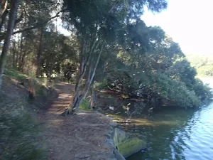
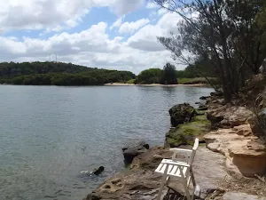
Bushwalking and hiking trails in Georges River NP. Browse 14 walks with detailed track notes, maps and photos.
Davies Reserve to the Pipe Bridge Picnic Area
566 m Return, 15 mins
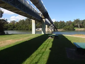
Very easy
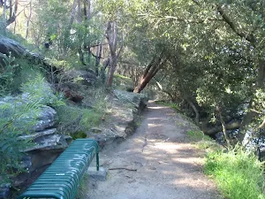
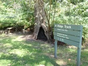
Ridge Track to Burrawang Flats circuit
769 m Circuit, 30 mins
Moderate track
Davies Reserve to the Salt Pan Creek Footbridge
1 km Return, 20 mins
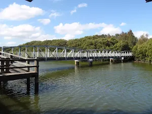
Very easy
Davies Reserve to Henry Lawson Drive
1.2 km One way, 30 mins
Moderate track
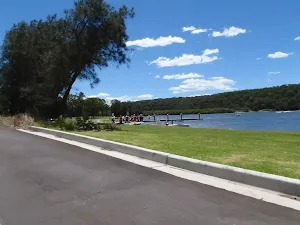
Lambeth Reserve to Picnic Point
1.3 km One way, 30 mins
Very easy
Yeramba Lagoon Loop
1.8 km Circuit, 45 mins
Moderate track
Fitzpatrick Park to Georges River National Park
2.5 km One way, 1 hr 15 mins
Moderate track
Padstow to the Salt Pan Creek Picnic Area
2.6 km One way, 1 Hr
Moderate track
Alma Road to Padstow along Salt Pan Creek
2.8 km One way, 1 Hr
Moderate track
The Ridge Track Loop
2.9 km Circuit, 1 hr 15 mins
Hard track
Fitzpatrick Park to Morgans Creek via Yeramba Lagoon
4 km One way, 1 hr 45 mins
Moderate track
Padstow to the Pipe Bridge Picnic Area
4.3 km Return, 1 hr 30 mins
Very easy
Morgans Creek to Padstow
8 km One way, 2 hrs 45 mins
Moderate track
East Hills to Padstow along the Georges River
15.8 km One way, 5 hrs 30 mins
Moderate track