Lambeth Reserve to Picnic Point
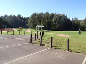
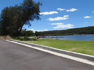
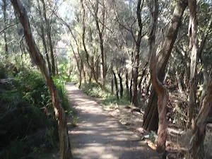
Lambeth Reserve
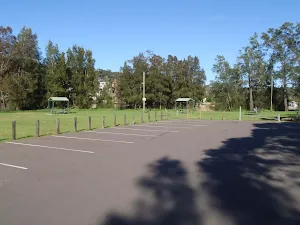
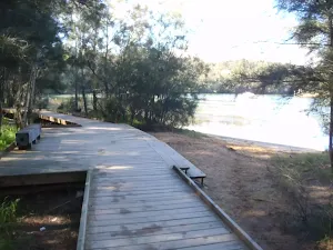
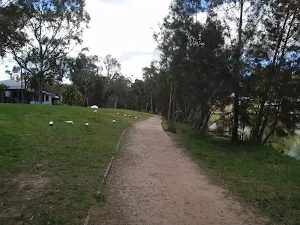
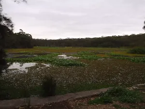
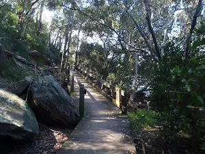
(0km) Lambeth Reserve carpark → Georges river boardwalk north
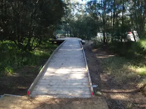
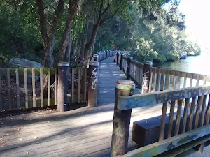
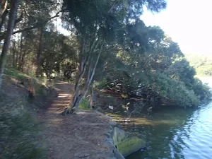
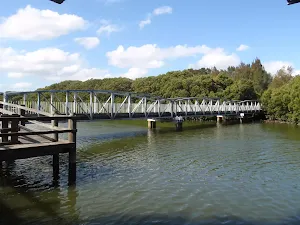
(0km) Georges river boardwalk north → Georges river boardwalk south
(1km) Georges river boardwalk south → Int of Georges river walk and Carinya road
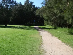
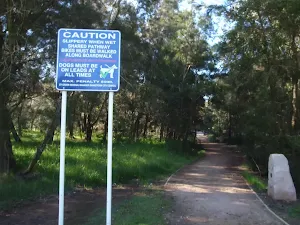
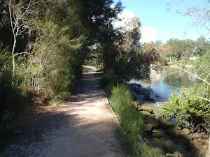
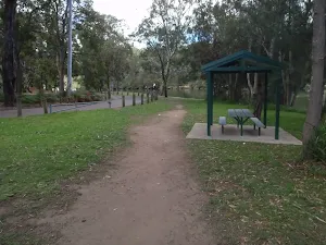
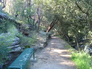
Continue straight: From the intersection, the walk follows the footpath south along the Georges river. The footpath runs through a long grassy clearing, between Carinya road and the river, and comes to the intersection with Carinya road, at the metal Gate near the sheltered picnic bench.
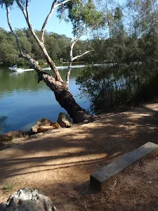
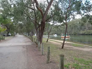
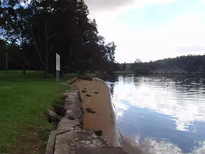
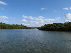
(1km) Int of Georges river walk and Carinya road → Picnic Point Boatshed
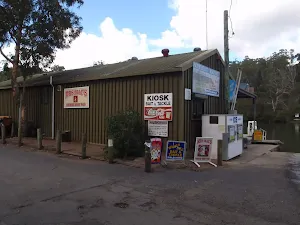
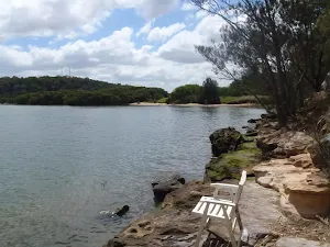
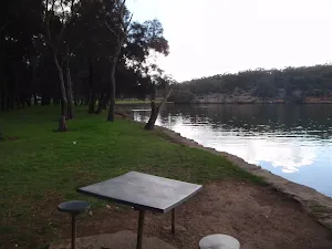
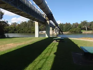
Picnic Point Boatshed
Maps for the Lambeth Reserve to Picnic Point walk
You can download the PDF for this walk to print a map.
These maps below cover the walk and the wider area around the walk, they are worth carrying for safety reasons.
| Liverpool | 1:25 000 Map Series | 90302S LIVERPOOL | NSW-90302S |
| Penrith | 1:100 000 Map Series | 9030 PENRITH | 9030 |
Cross sectional view of the Lambeth Reserve to Picnic Point bushwalking track
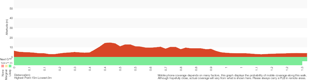
Analysis and summary of the altitude variation on the Lambeth Reserve to Picnic Point
Overview of this walks grade – based on the AS 2156.1 – 2001
Under this standard, a walk is graded based on the most difficult section of the walk.
| Length | 1.3 km | ||
| Time | 30 mins | ||
| . | |||
Grade 1/6 Very easy | AS 2156.1 | Gradient | Flat, no steps (1/6) |
| Quality of track | Smooth and hardened path (1/6) | ||
| Signs | Clearly signposted (1/6) | ||
| Experience Required | No experience required (1/6) | ||
| Weather | Weather generally has little impact on safety (1/6) | ||
| Infrastructure | Generally useful facilities (such as fenced cliffs and seats) (1/6) |
Some more details of this walks Grading
Here is a bit more details explaining grading looking at sections of the walk
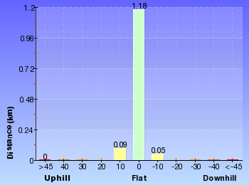
Gradient
This whole walk, 1.3km is flat with no steps.
Quality of track
This whole walk, 1.3km follows a smooth and hardened path.
Signs
This whole walk, 1.3km is clearly signposted.
Experience Required
This whole walk, 1.3km requires no previous bushwalking experience.
weather
This whole walk, 1.3km is not usually affected by severe weather events (that would unexpectedly impact safety and navigation).
Infrastructure
This whole walk, 1.3km is close to useful facilities (such as fenced cliffs and seats).
Similar walks
A list of walks that share part of the track with the Lambeth Reserve to Picnic Point walk.
East Hills to Padstow along the Georges River
15.8 km One way, 5 hrs 30 mins
Moderate track
Other Nearby walks
A list of walks that start near the Lambeth Reserve to Picnic Point walk.
Yeramba Lagoon Loop
1.8 km Circuit, 45 mins
Moderate track
Fitzpatrick Park to Georges River National Park
2.5 km One way, 1 hr 15 mins
Moderate track
Fitzpatrick Park to Morgans Creek via Yeramba Lagoon
4 km One way, 1 hr 45 mins
Moderate track
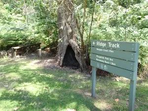
The Ridge Track Loop
2.9 km Circuit, 1 hr 15 mins
Hard track
Ridge Track to Burrawang Flats circuit
769 m Circuit, 30 mins
Moderate track
Morgans Creek to Padstow
8 km One way, 2 hrs 45 mins
Moderate track
Alma Road to Padstow along Salt Pan Creek
2.8 km One way, 1 Hr
Moderate track
Padstow to the Pipe Bridge Picnic Area
4.3 km Return, 1 hr 30 mins
Very easy
Padstow to the Salt Pan Creek Picnic Area
2.6 km One way, 1 Hr
Moderate track
Davies Reserve to the Salt Pan Creek Footbridge
1 km Return, 20 mins
Very easy
Davies Reserve to Henry Lawson Drive
1.2 km One way, 30 mins
Moderate track
Davies Reserve to the Pipe Bridge Picnic Area
566 m Return, 15 mins
Very easy
Plan your trip to and from the walk here
The Lambeth Reserve to Picnic Point walk starts at the Lambeth Reserve carpark (gps: -33.972325, 150.99716)
The Lambeth Reserve to Picnic Point ends at the Picnic Point Boatshed (gps: -33.981355, 150.99671)
Weather Forecast
This walk starts in the Metropolitan weather district.
Current Alerts
Park Information
Comments
Short URL: http://wild.tl/lrtpp