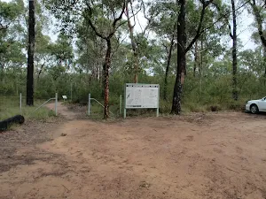
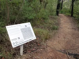
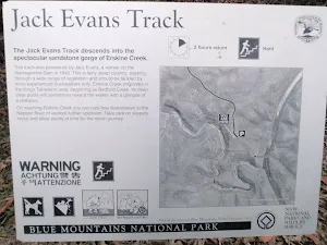
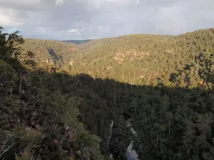
Jack Evans track to Erskine Creek
* This walk passes through very remote areas and sections have no visible track. At least one person in your group should have training and experience in off track walking and navigation. Even with these notes and a GPS these extra skills and equipment are required.
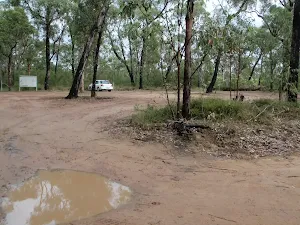
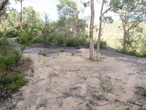
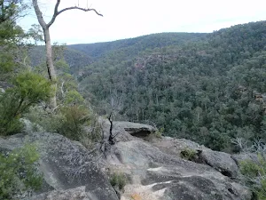
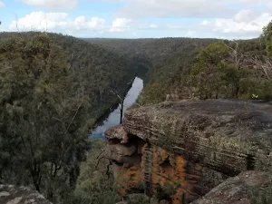
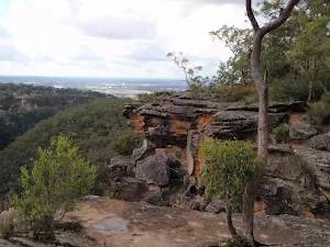
(0km) End of Nepean Lookout Fire Trail → Erskine Lookout
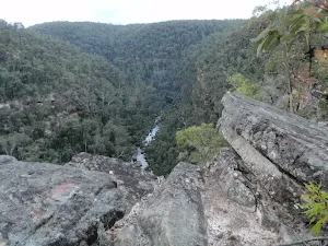
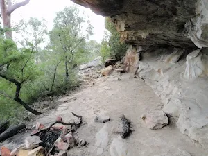
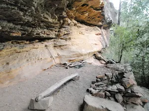
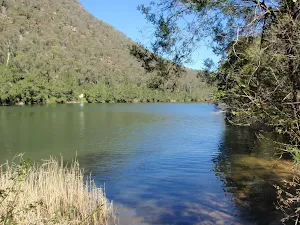
Erskine Lookout
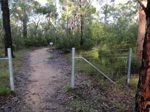
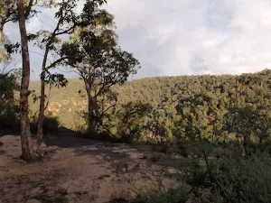
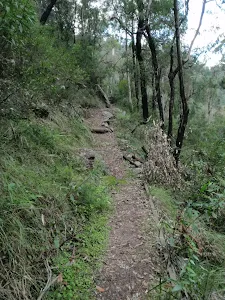
(0km) Erskine Lookout → Int of Jack Evans and the lower Erskine tracks
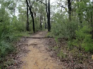
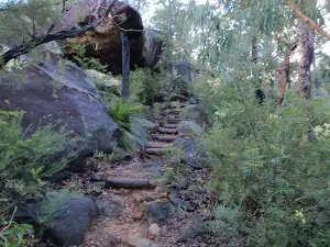
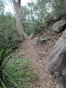
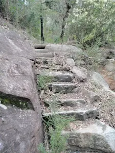
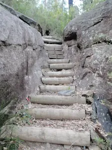
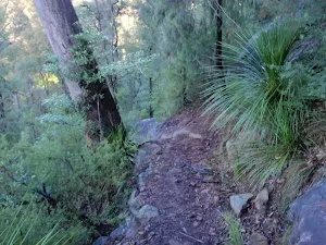
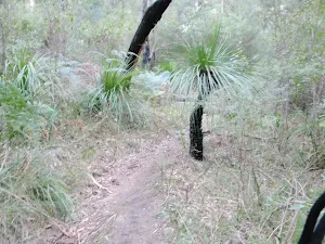
Continue straight: From the intersection this walk follows the wider bush track down the hill to the saddle. On the other side of the saddle this walk heads down a series of timber steps. At the bottom of the steps the track winds through the grass trees. Before seeing the creek the track passes a large gum to come to an intersection with a faint bush track on the right (and a wider track to the left).
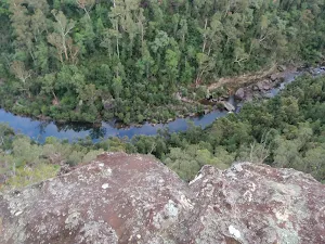
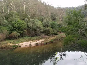
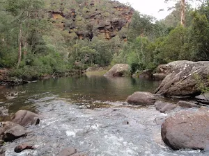
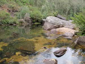
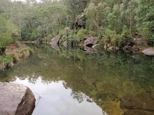
(1km) Int of Jack Evans and the lower Erskine tracks → Eastern side of natural dam wall
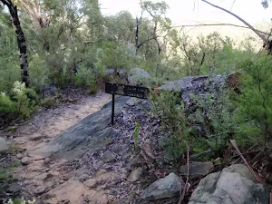
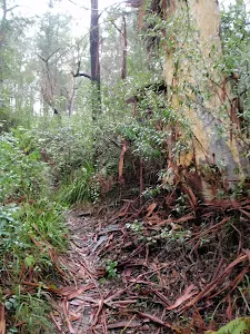
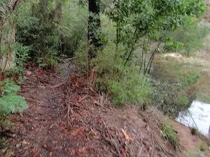
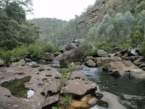
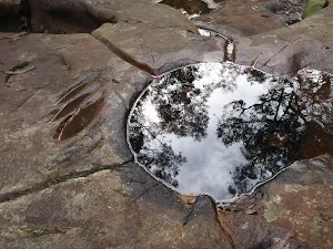
Veer left: From the water depth indicators this walk follows the creek down stream keeping Erskine Creek on the right. The faint bush track soon leads to the visible series of large boulders forming a natural dam wall. At the end of this side trip, retrace your steps back to the main walk then Turn left.
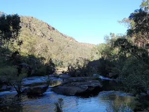
Natural dam pool
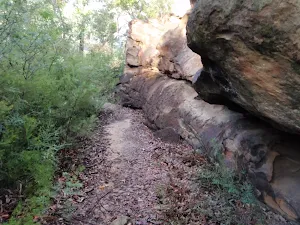
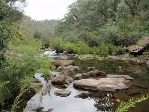
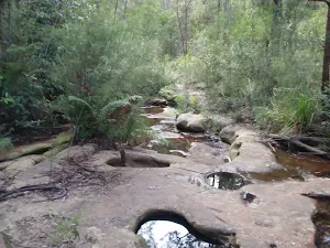
(1km) Int of Jack Evans and the lower Erskine tracks → Int of Jack Evans Track and Erskine Creek
Maps for the Jack Evans track to Erskine Creek walk
You can download the PDF for this walk to print a map.
These maps below cover the walk and the wider area around the walk, they are worth carrying for safety reasons.
| Penrith | 1:25 000 Map Series | 90303N PENRITH | NSW-90303N |
| Penrith | 1:100 000 Map Series | 9030 PENRITH | 9030 |
Cross sectional view of the Jack Evans track to Erskine Creek bushwalking track
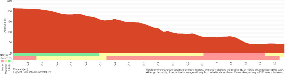
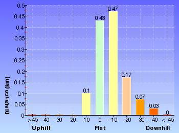
Analysis and summary of the altitude variation on the Jack Evans track to Erskine Creek
Overview of this walks grade – based on the AS 2156.1 – 2001
Under this standard, a walk is graded based on the most difficult section of the walk.
| Length | 2.6 km | ||
| Time | 2 hrs | ||
| . | |||
Grade 5/6 Experienced only | AS 2156.1 | Gradient | Very steep (4/6) |
| Quality of track | Formed track, with some branches and other obstacles (3/6) | ||
| Signs | No directional signs (5/6) | ||
| Experience Required | Moderate level of bushwalking experience recommended (4/6) | ||
| Weather | Storms may impact on navigation and safety (3/6) | ||
| Infrastructure | Limited facilities (such as cliffs not fenced, significant creeks not bridged) (4/6) |
Some more details of this walks Grading
Here is a bit more details explaining grading looking at sections of the walk
Gradient
Around 850m of this walk is very steep, whilst the remaining 430m has short steep hills.
Quality of track
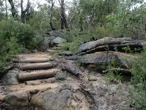
This whole walk, 1.3km follows a formed track, with some branches and other obstacles.
Signs
850m of this walk has minimal directional signs and another 320m has directional signs at most intersection. The remaining (100m) Has no directional signs.
Experience Required
Around 970m of this walk requires some bushwalking experience, whilst the remaining 310m requires a leader a with moderate level of bushwalking experience.
weather
Around 1.2km of this walk is not usually affected by severe weather events (that would unexpectedly impact safety and navigation), whilst the remaining 100m is affected by storms that may impact your navigation and safety.
Infrastructure
Around 970m of this walk has limited facilities (such as not all cliffs fenced), whilst the remaining 310m has limited facilities (such as cliffs not fenced, significant creeks not bridged).
Similar walks
A list of walks that share part of the track with the Jack Evans track to Erskine Creek walk.
Erskine Lookout
648 m Return, 20 mins
Moderate track
Erskine Creek via Pisgah Rock and Jack Evans
7.1 km Circuit, 4 hrs 30 mins
Very experienced only
Dadder Cave and Jack Evans track
10.3 km Circuit, 2 Days
Very experienced only
Other Nearby walks
A list of walks that start near the Jack Evans track to Erskine Creek walk.
Nepean Lookout
1.3 km Return, 30 mins
Moderate track
Machins Crater
466 m Return, 15 mins
Moderate track
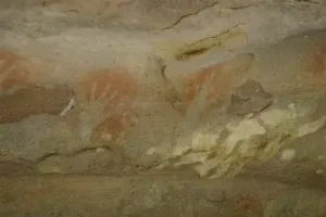
Attic Cave
2 km Return, 1 Hr
Experienced only
Dadder Cave
6 km Return, 4 hrs
Very experienced only
Erskine Creek via Pisgah Rock
2.8 km Return, 3 hrs
Very experienced only
Pisgah Rock
1.6 km Return, 45 mins

Moderate track
The Oaks Picnic area to Woodford Station
18.1 km One way, 7 hrs

Hard track
Euroka to Red Hands Cave
4.3 km One way, 1 hr 45 mins
Experienced only
Euroka Nepean River Circuit
2.8 km Circuit, 1 hr 15 mins
Hard track
Red Hands Cave and Axe Grinding Tour
4.1 km Circuit, 2 hrs
Moderate track
Red Hands Cave
1 km Return, 30 mins
Moderate track
Tunnel View Lookout
512 m Return, 30 mins
Hard track
Plan your trip to and from the walk here
The Jack Evans track to Erskine Creek walk starts and ends at the End of Nepean Lookout Fire Trail (gps: -33.840333, 150.58145)
Weather Forecast
This walk starts in the Central Tablelands weather district.
Current Alerts
Park Information
Blue Mountains National Park
Attracting over 3 million visitors annually, Blue Mountains National Park holds some of Australia's most spectacular and diverse wilderness areas. Explore the Grose Valley, with its sheer sandstone cliffs, waterfalls and scenic walking, or enjoy the famous views of the Three Sisters. Easy access makes a day trips very worthwhile, but with such diversity it would be great to stay in one of the many B&B's and spend a few days soaking up the region.
Comments
Short URL: http://wild.tl/jettec