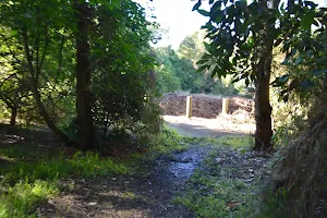
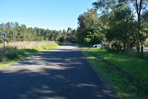
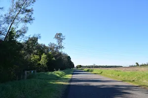
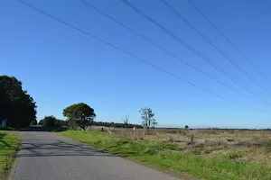
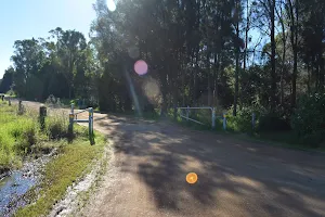
Scotts Point circuit
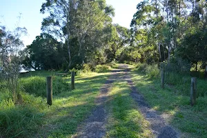

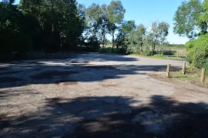
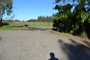
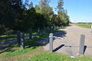
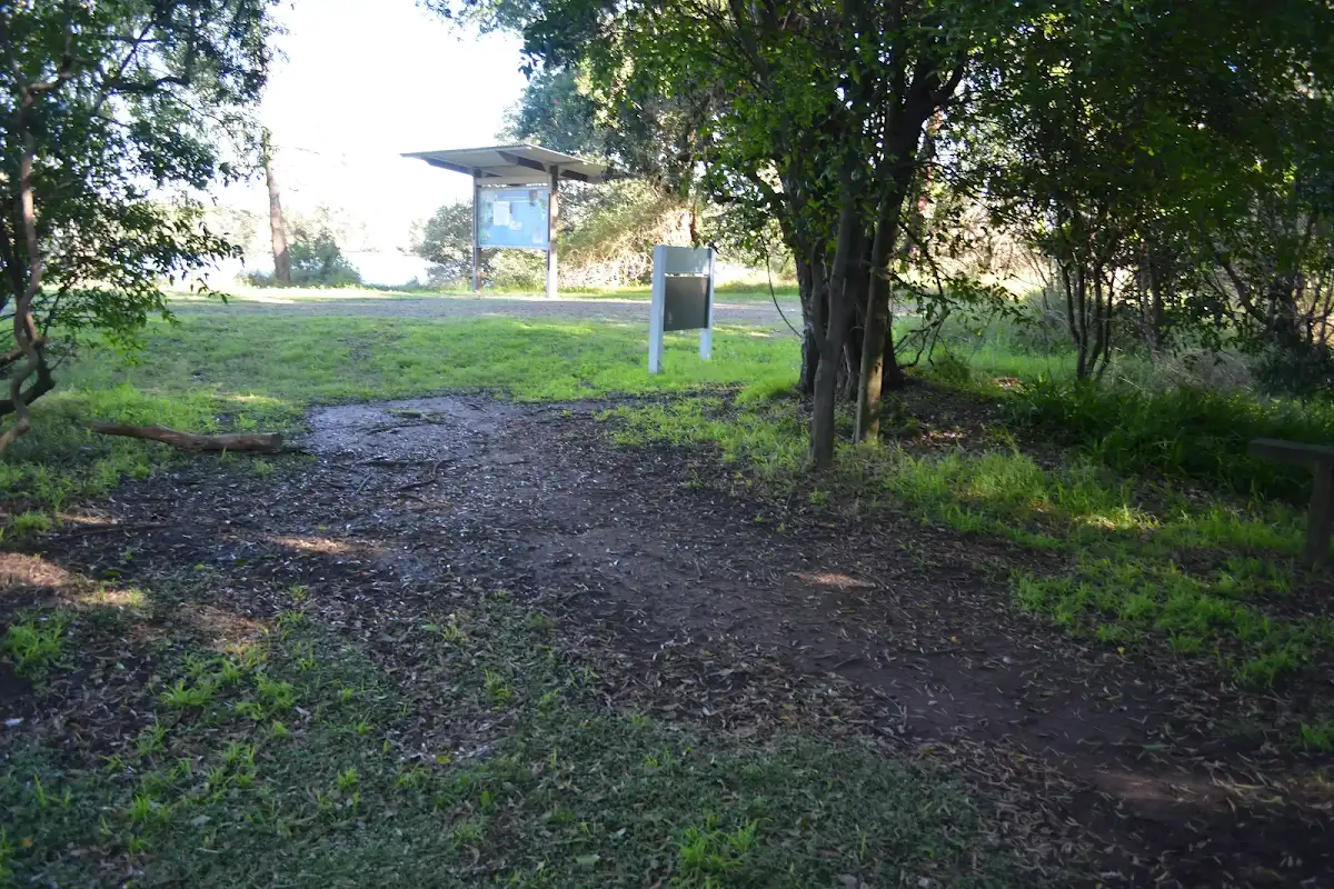
(0km) Riverside Park car park → Riverside Park car park int

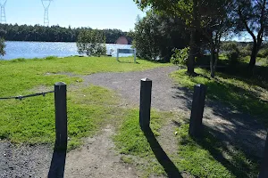
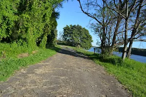
(0km) Riverside Park car park int → City Farm jetty
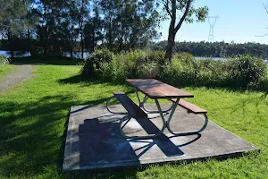
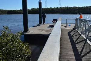
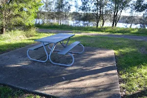
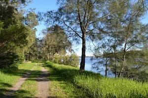
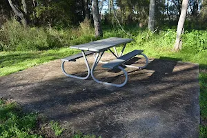
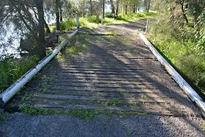
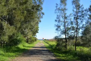
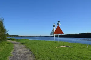
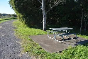
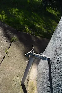
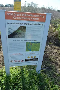
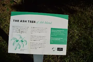
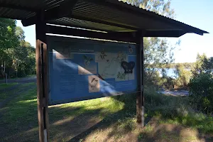
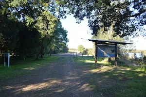
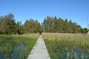
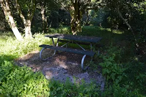
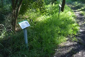
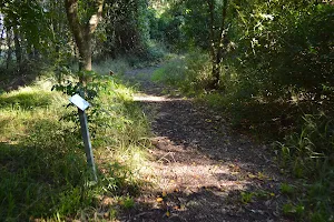
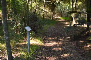
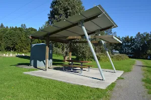
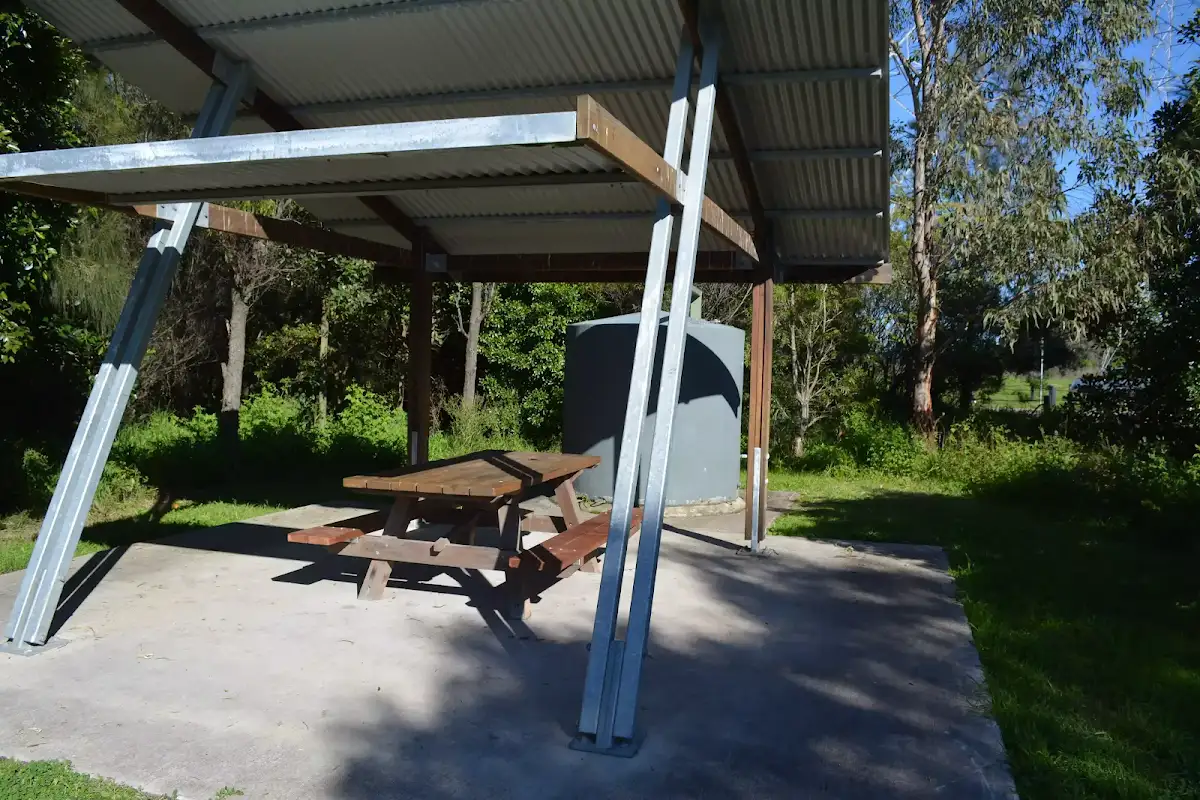
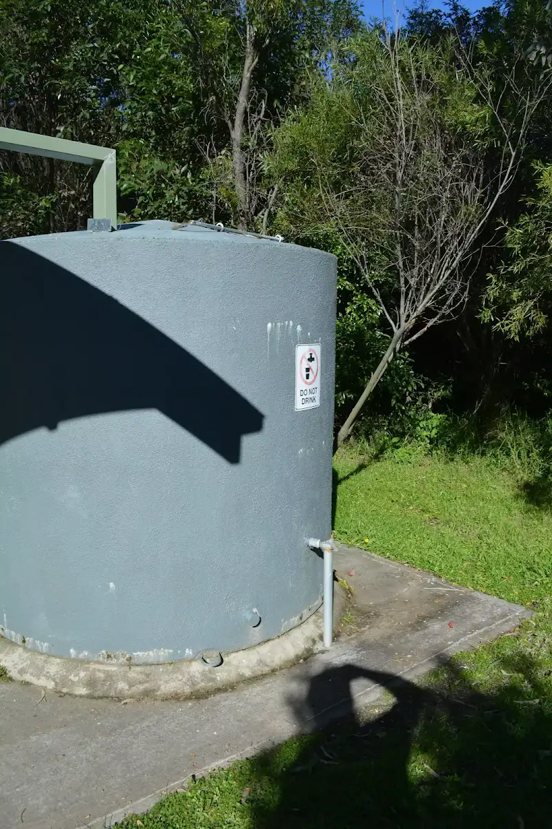
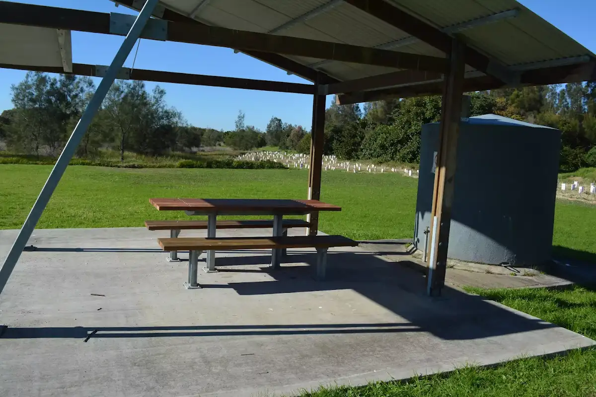
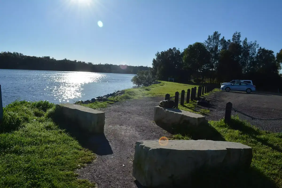
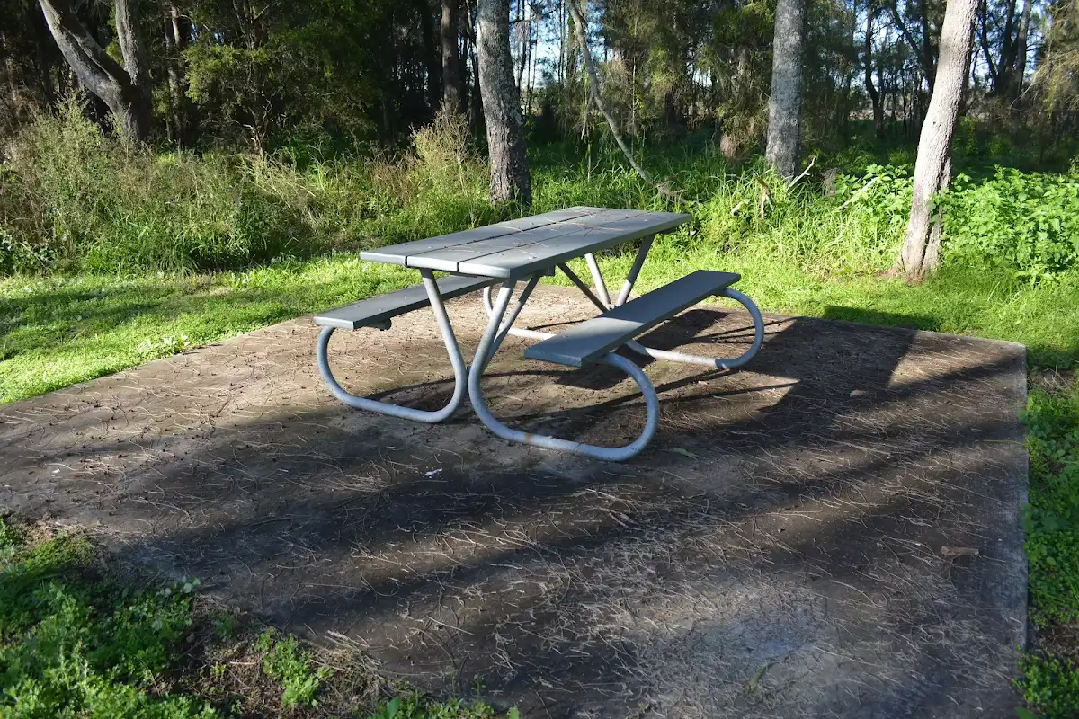
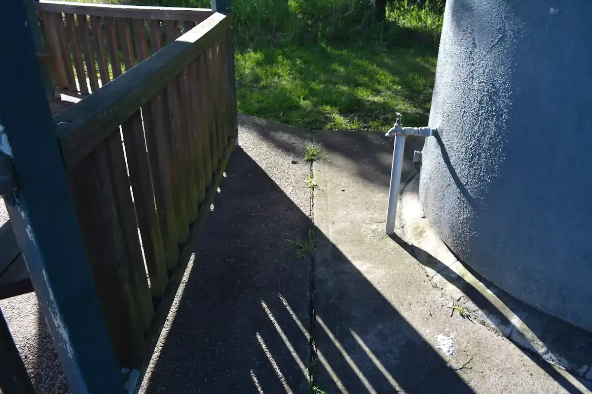
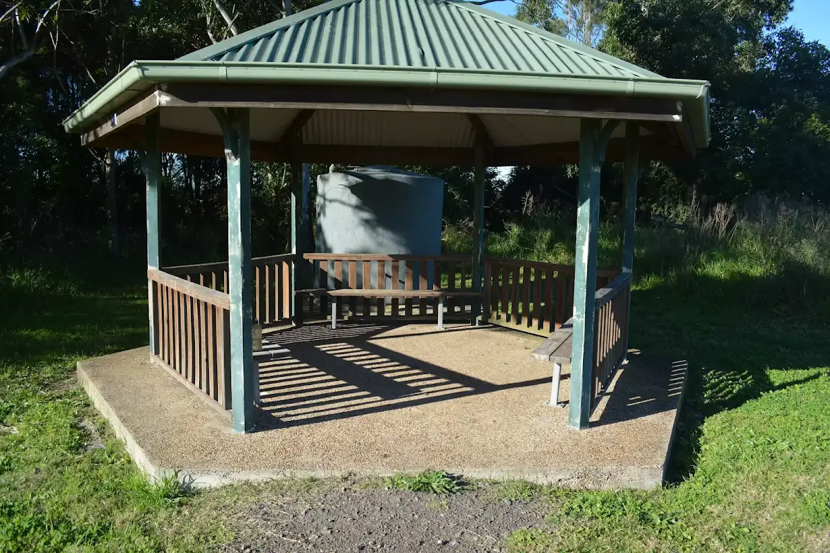
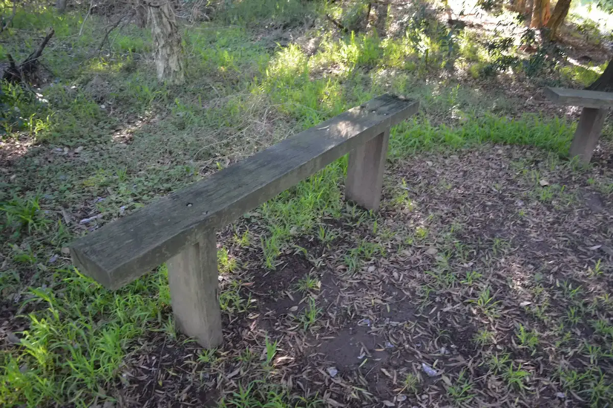
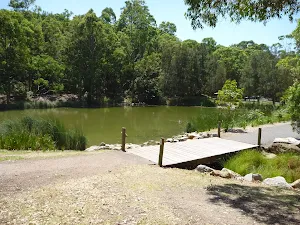
Continue straight: From the intersection, this walk follows the 'Jetty' arrow[5] along the gravel path[6] keeping the river to the left. After about 40m the path leads past a sheltered picnic areaand water tap(on the right) then continues for about 30m to come to a 'Hunter Wetlands National Park' information sign[7] (on the right). Here the walk leads onto the floating jetty ramp[8] with 1m metal fence that leads to the City Farm jetty[9] (there is an 8cm step[10] to access the actual jetty platform[11]. At the end of this side trip, retrace your steps back to the main walk then Continue straight.


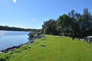
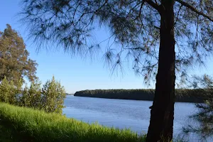
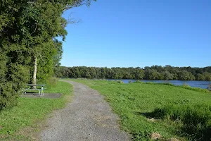
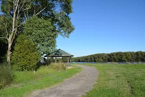
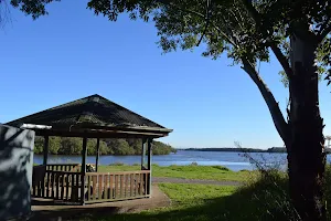
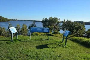
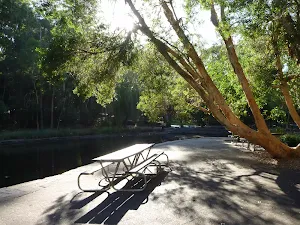
Riverside Park


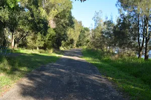
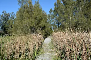
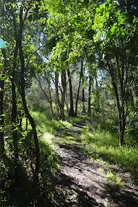
(0km) Riverside Park car park int → Mid way pincic area


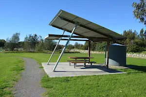
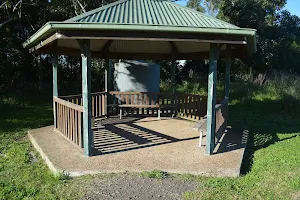
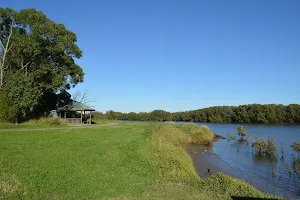
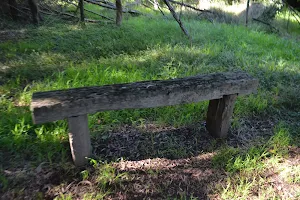
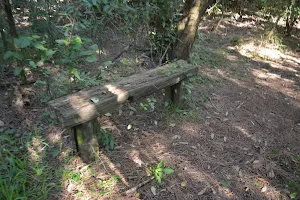
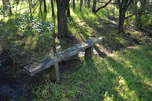
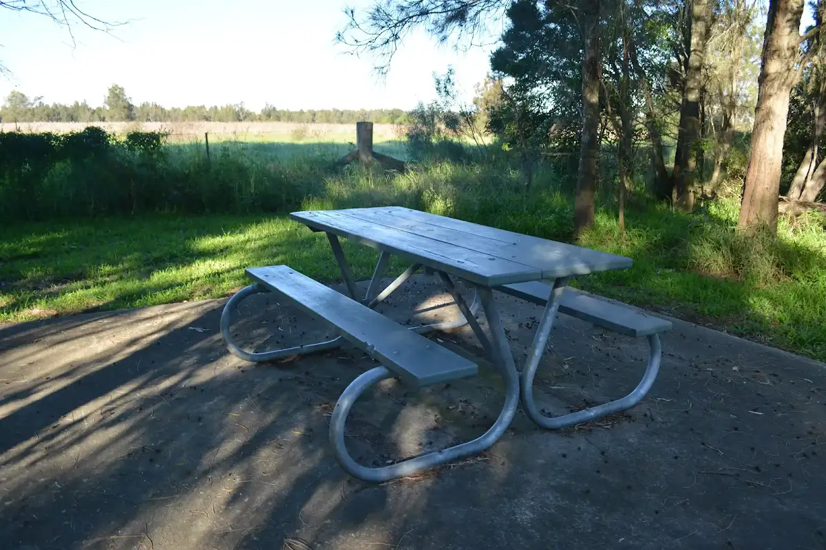
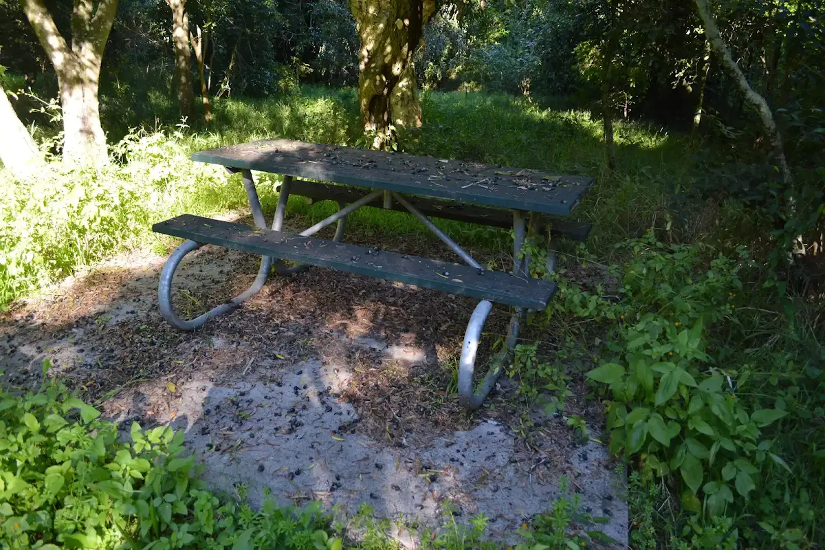
Mid way pincic area
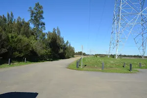
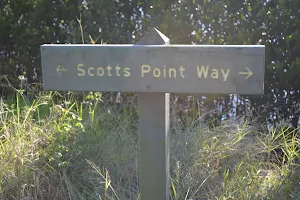
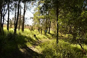
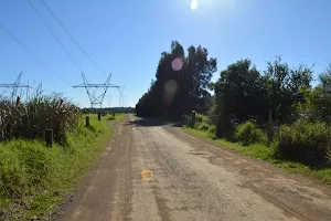
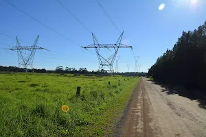
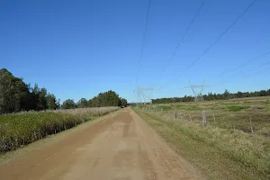
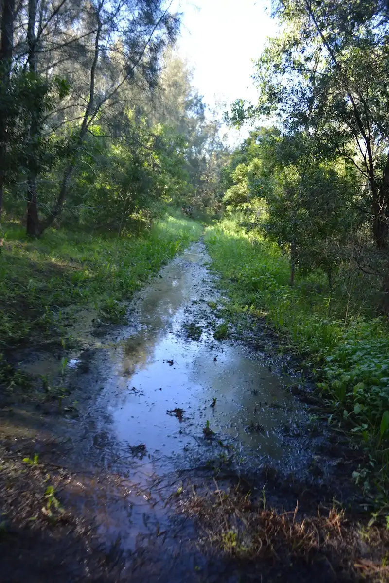
(1km) Mid way pincic area → Scotts Point


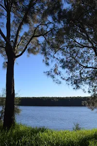
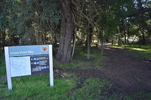
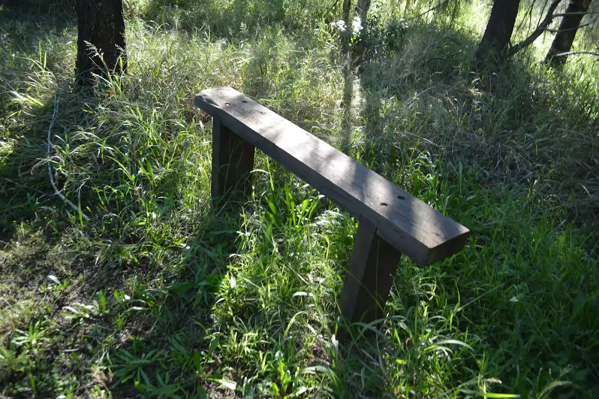
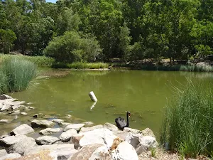
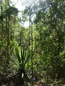
Scotts Point
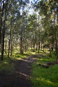
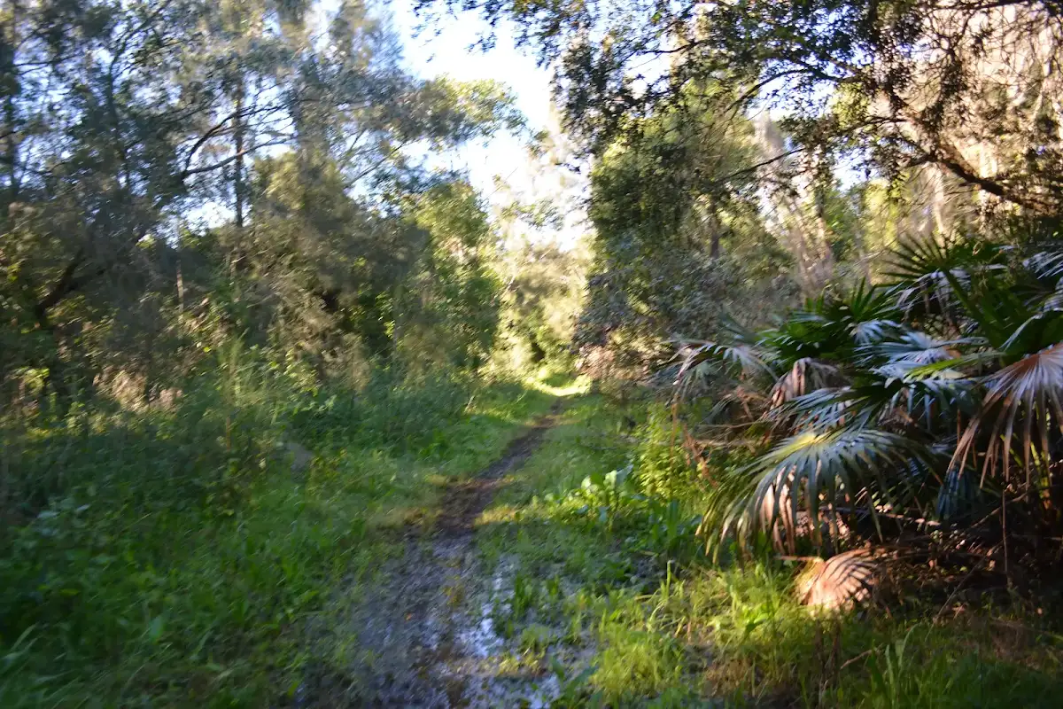
(1km) Scotts Point → Int of Scotts Point and Rainforest tracks


(2km) Int of Scotts Point and Rainforest tracks → East end of Rainforest boardwalk


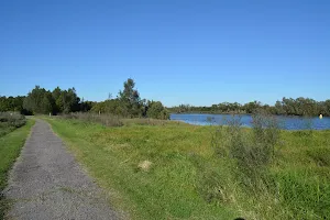
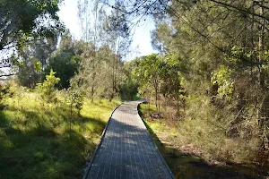
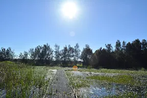
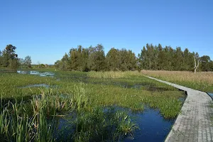
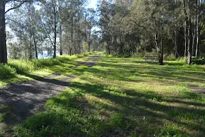
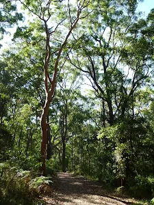
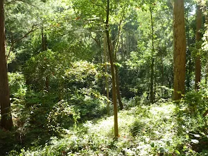
Rainforest boardwalk
(2km) East end of Rainforest boardwalk → Silos car park


(3km) Silos car park → Riverside Park car park
Maps for the Scotts Point circuit walk
You can download the PDF for this walk to print a map.
These maps below cover the walk and the wider area around the walk, they are worth carrying for safety reasons.
| Beresfield | 1:25 000 Map Series | 92323N BERESFIELD | NSW-92323N |
| Newcastle | 1:100 000 Map Series | 9232 NEWCASTLE | 9232 |
Cross sectional view of the Scotts Point circuit bushwalking track
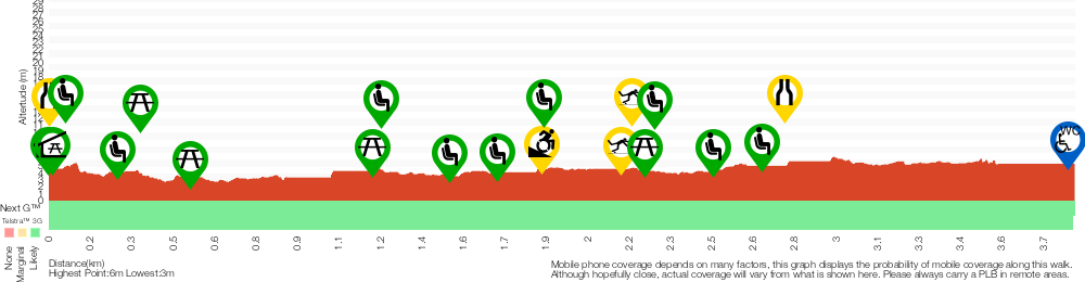
Analysis and summary of the altitude variation on the Scotts Point circuit
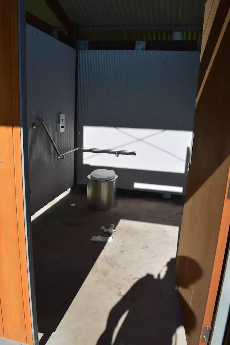
Accessibility Profile
This page is designed to give you a sense of the facilities that help improve access for people with disabilities or mobility restrictions. See tracknotes and map for navigation, point of interest and other information. See the Accessibility Details below for specific information about each facility.
Accessibility Details


Overview of this walks grade – based on the AS 2156.1 – 2001
Under this standard, a walk is graded based on the most difficult section of the walk.
| Length | 3.9 km | ||
| Time | 1 hr 15 mins | ||
| . | |||
Grade 3/6 Moderate track | AS 2156.1 | Gradient | Gentle hills with occasional steps (2/6) |
| Quality of track | Formed track, with some branches and other obstacles (3/6) | ||
| Signs | Clearly signposted (1/6) | ||
| Experience Required | No experience required (1/6) | ||
| Weather | Storms may impact on navigation and safety (3/6) | ||
| Infrastructure | Limited facilities, not all cliffs are fenced (3/6) |
Some more details of this walks Grading
Here is a bit more details explaining grading looking at sections of the walk
Gradient
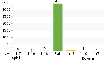
Around 2.5km of this walk has gentle hills with occasional steps, whilst the remaining 1.3km is flat with no steps.
Quality of track
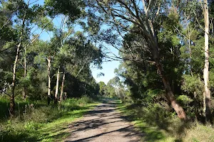
Around 3.2km of this walk follows a clear and well formed track or trail, whilst the remaining 700m follows a formed track, with some branches and other obstacles.
Signs
This whole walk, 3.9km is clearly signposted.
Experience Required
This whole walk, 3.9km requires no previous bushwalking experience.
weather
Around 3.2km of this walk is not usually affected by severe weather events (that would unexpectedly impact safety and navigation), whilst the remaining 700m is affected by storms that may impact your navigation and safety.
Infrastructure
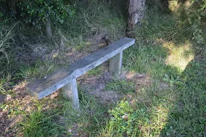
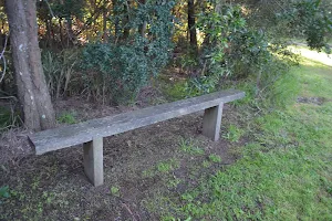
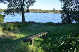
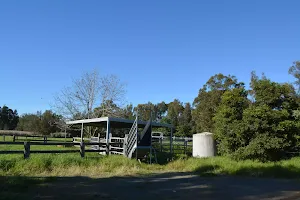
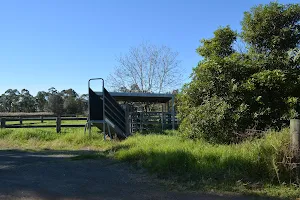
Around 3.2km of this walk is close to useful facilities (such as fenced cliffs and seats), whilst the remaining 700m has limited facilities (such as not all cliffs fenced).
Similar walks
A list of walks that share part of the track with the Scotts Point circuit walk.
City Farm walk to Milhams Farmhouse Ruin
1.3 km Return, 30 mins
Easy track
Scots Point Way to Riverside Park Trail
1.9 km One way, 45 mins
Easy track
Rainforest walk to Riverside Park
2 km One way, 45 mins
Moderate track
Riverside Park to Scotts Point
2.5 km Return, 45 mins
Easy track
Other Nearby walks
A list of walks that start near the Scotts Point circuit walk.
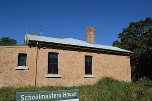
Mangrove Boardwalk to Schoolmasters House
1.2 km Return, 30 mins
Very easy
The Welcome walk
945 m One way, 30 mins
Easy track
Forestway Circuit Walk
2.7 km Circuit, 1 Hr

Moderate track
Richley Reserve to Carnley Reserve Circuit
2.9 km Circuit, 1 hr 15 mins
Moderate track
Blackbutt Circuit Walk
6.5 km Circuit, 2 hrs 30 mins
Moderate track
Tall Trees Circuit Walk
2.8 km Circuit, 1 hr 15 mins
Moderate track
Blackbutt Explorer
6 km Circuit, 2 hrs 30 mins

Moderate track
Richley Reserve Circuit
731 m Circuit, 30 mins
Very easy
Black Duck Creek Circuit Walk
2.1 km Circuit, 1 Hr
Moderate track
Rod Earp Rain Forest Circuit (from Lookout Rd)
1.9 km Circuit, 1 Hr

Moderate track
Main Ridge Circuit Walk
2.5 km Circuit, 1 Hr
Moderate track
Rod Earp Rainforest Circuit (from Carnley Ave)
2 km Circuit, 1 Hr

Moderate track
Plan your trip to and from the walk here
The Scotts Point circuit walk starts and ends at the Riverside Park car park (gps: -32.833948, 151.70896)
Weather Forecast
This walk starts in the Hunter weather district.
A detailed forecast for this walk isn't available yet.
Current Alerts
Live alerts aren't available for this walk. Check the NPWS website for closures and the RFS for current fire danger.
Park Information
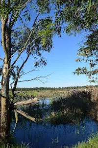
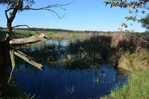
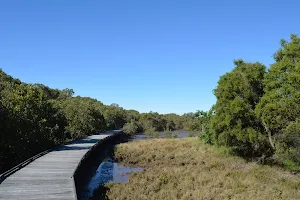
Hunter Wetlands National Park
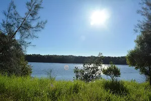
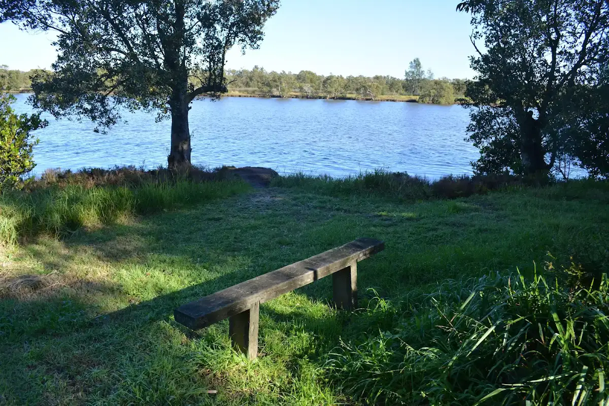
Hunter Wetlands National Park is in Kooragang north of Newcastle. The island national park is based around a the Kooragang Wetlands is home to interesting historic and natural features. Enjoy boardwalks, river views, bike riding and picnicking.
Comments
Short URL: http://wild.tl/spc