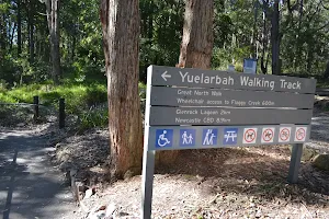
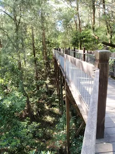
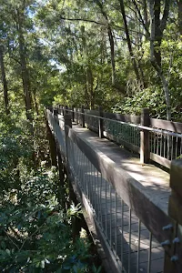
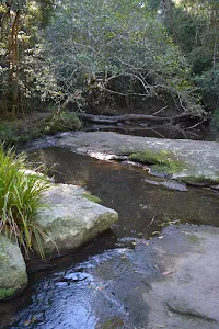
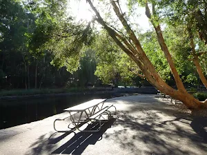
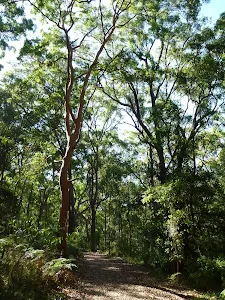
Yuelarbah walking track to Flaggy Creek
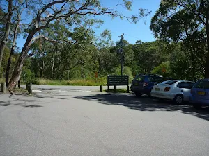


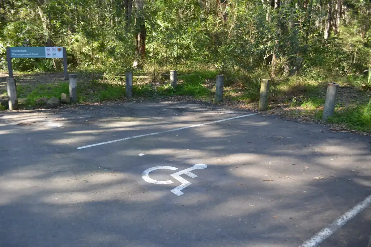
Yuelarbah car park


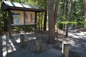
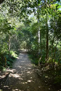
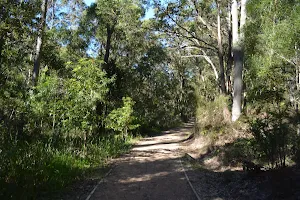
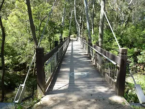
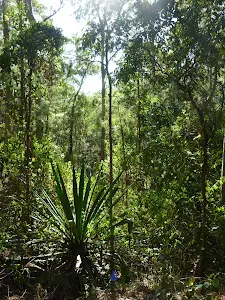
(0km) Yuelarbah car park → Int of Yuelarbah track AND Glenrock scoutcamp track


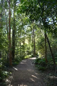
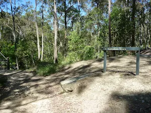
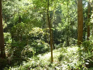
(1km) Int of Yuelarbah track & Glenrock scoutcamp track → Int of Yuelarbah & Flaggy Creek tracks
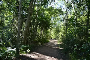
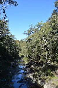
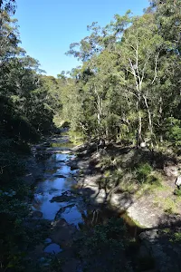
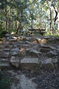
(1km) Int of Yuelarbah & Flaggy Creek tracks → Flaggy Creek picnic area

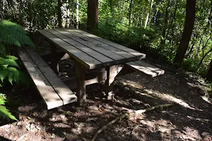
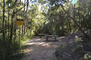
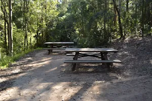
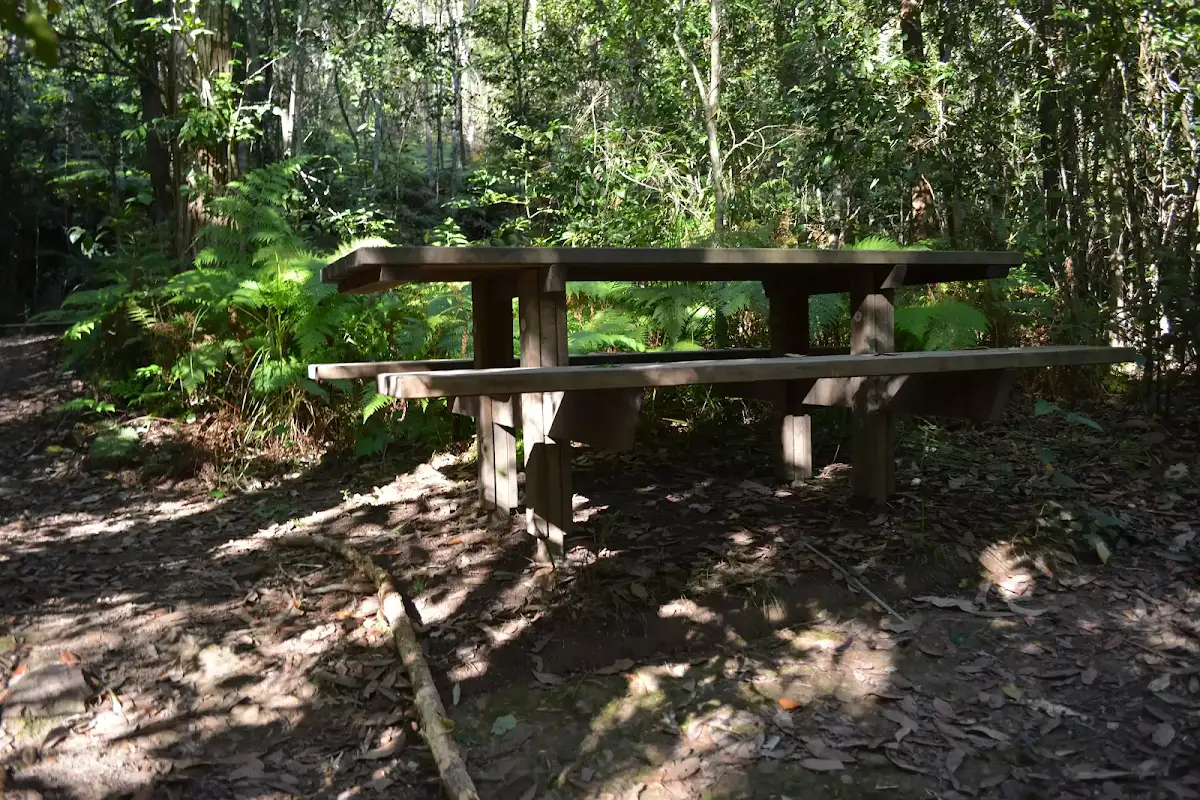
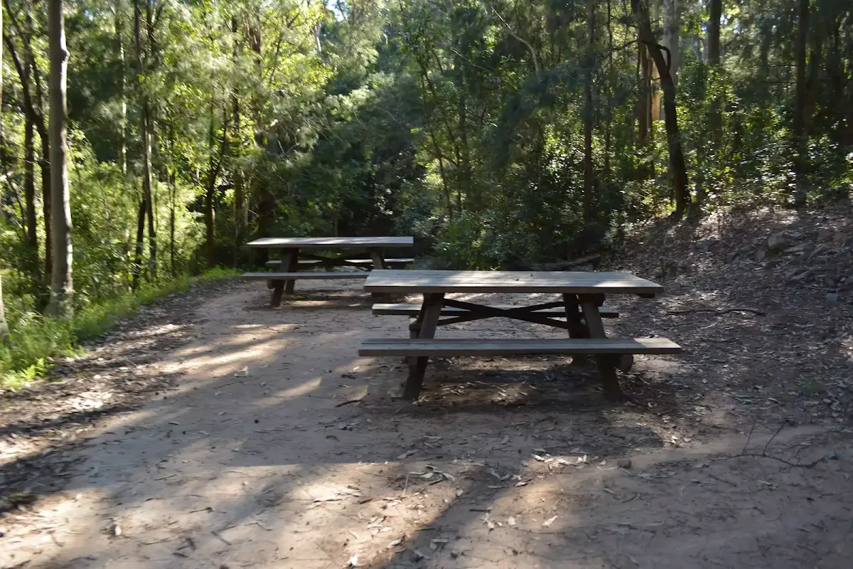
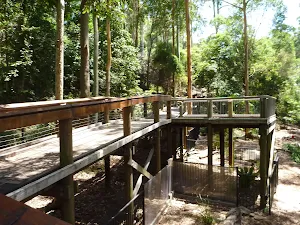
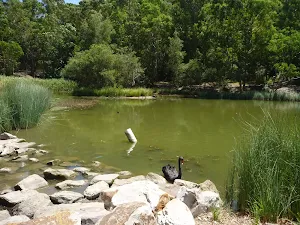
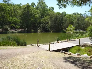
Flaggy Creek picnic area
Maps for the Yuelarbah walking track to Flaggy Creek walk
You can download the PDF for this walk to print a map.
These maps below cover the walk and the wider area around the walk, they are worth carrying for safety reasons.
| Wallsend | 1:25 000 Map Series | 92323S WALLSEND | NSW-92323S |
| Newcastle | 1:100 000 Map Series | 9232 NEWCASTLE | 9232 |
Cross sectional view of the Yuelarbah walking track to Flaggy Creek bushwalking track
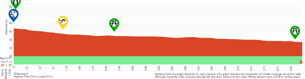
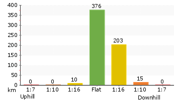
Analysis and summary of the altitude variation on the Yuelarbah walking track to Flaggy Creek
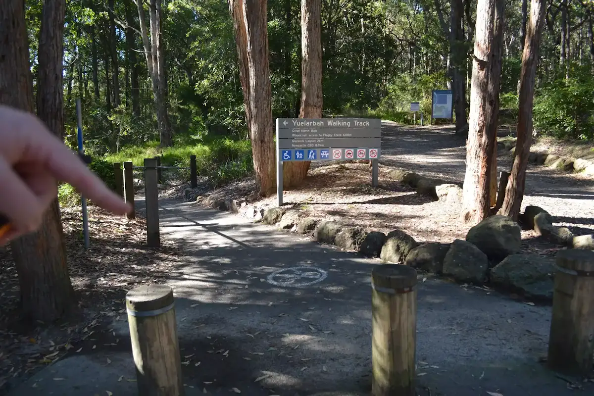
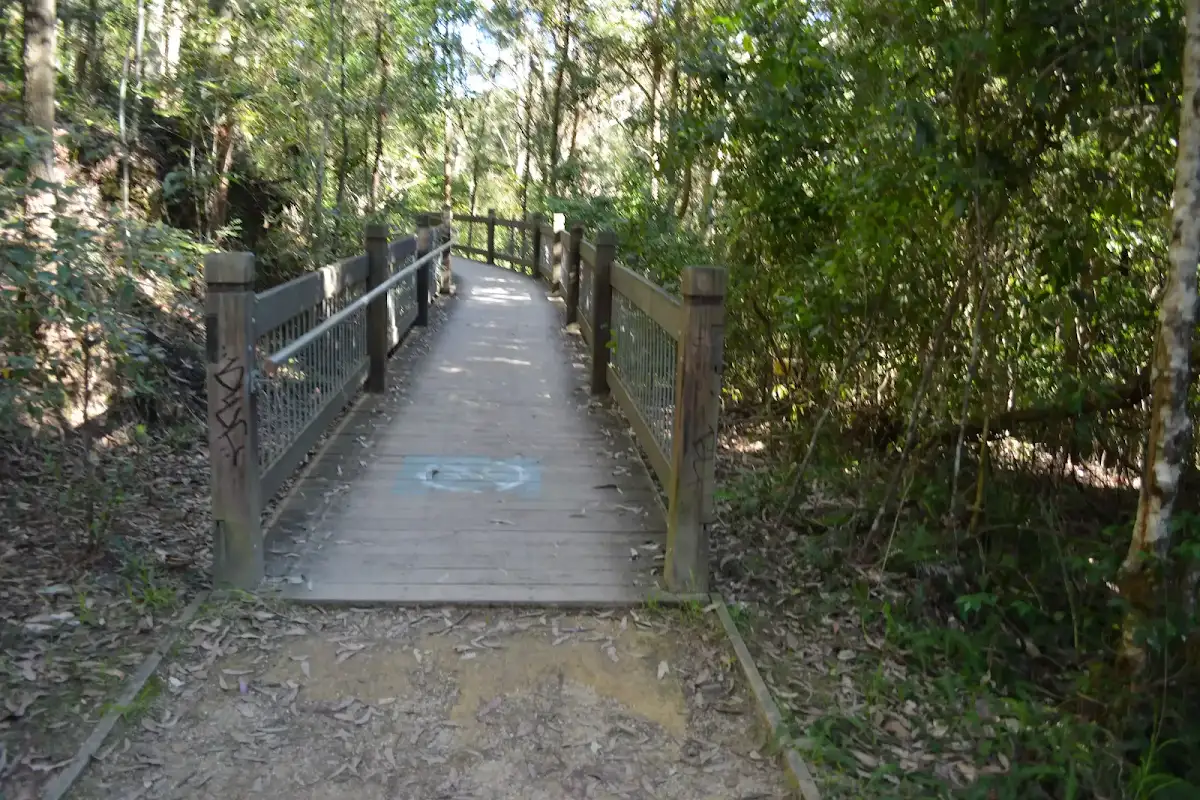
Accessibility Profile
This page is designed to give you a sense of the facilities that help improve access for people with disabilities or mobility restrictions. See tracknotes and map for navigation, point of interest and other information. See the Accessibility Details below for specific information about each facility.
Accessibility Details
Overview of this walks grade – based on the AS 2156.1 – 2001
Under this standard, a walk is graded based on the most difficult section of the walk.
| Length | 1.3 km | ||
| Time | 40 mins | ||
| . | |||
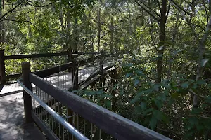
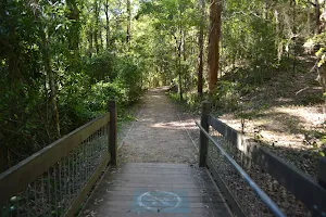
Grade 2/6 Easy track | AS 2156.1 | Gradient | Gentle hills with occasional steps (2/6) |
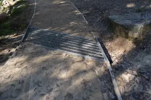
| Quality of track | Smooth and hardened path (1/6) | ||
| Signs | Clearly signposted (1/6) | ||
| Experience Required | No experience required (1/6) | ||
| Weather | Weather generally has little impact on safety (1/6) | ||
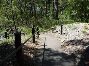
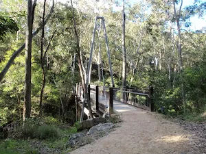
| Infrastructure | Generally useful facilities (such as fenced cliffs and seats) (1/6) |
Some more details of this walks Grading
Here is a bit more details explaining grading looking at sections of the walk
Gradient
Around 580m of this walk has gentle hills with occasional steps, whilst the remaining 80m is flat with no steps.
Quality of track
This whole walk, 660m follows a smooth and hardened path.
Signs
This whole walk, 660m is clearly signposted.
Experience Required
This whole walk, 660m requires no previous bushwalking experience.
weather
This whole walk, 660m is not usually affected by severe weather events (that would unexpectedly impact safety and navigation).
Infrastructure
This whole walk, 660m is close to useful facilities (such as fenced cliffs and seats).
Similar walks
A list of walks that share part of the track with the Yuelarbah walking track to Flaggy Creek walk.
Charlestown Park track head to Merewether
7.9 km One way, 2 hrs 45 mins

Hard track
Charlestown Park trackhead to Newcastle station
12.1 km One way, 5 hrs 30 mins
Hard track
Teralba to Newcastle via Glenrock Scout Camp
25.7 km One way, 2 Days
Hard track
Other Nearby walks
A list of walks that start near the Yuelarbah walking track to Flaggy Creek walk.
Merewether to Queens Wharf
4.4 km One way, 1 hr 30 mins

Moderate track
Main Ridge Circuit Walk
2.5 km Circuit, 1 Hr
Moderate track
Rod Earp Rainforest Circuit (from Carnley Ave)
2 km Circuit, 1 Hr

Moderate track
Blackbutt Wildlife Exhibit
480 m Circuit, 15 mins
Very easy
Black Duck Creek Circuit Walk
2.1 km Circuit, 1 Hr
Moderate track
Awabakal Coastal Walk
1.9 km One way, 45 mins

Hard track
Awabakal Viewpoint Walk
948 m Return, 30 mins
Hard track
Blackbutt Explorer
6 km Circuit, 2 hrs 30 mins

Moderate track
Richley Reserve Circuit
731 m Circuit, 30 mins
Very easy
Richley Reserve to Carnley Reserve Circuit
2.9 km Circuit, 1 hr 15 mins
Moderate track
Blackbutt Circuit Walk
6.5 km Circuit, 2 hrs 30 mins
Moderate track
Tall Trees Circuit Walk
2.8 km Circuit, 1 hr 15 mins
Moderate track
Plan your trip to and from the walk here
The Yuelarbah walking track to Flaggy Creek walk starts and ends at the Yuelarbah car park (gps: -32.962127, 151.71977)
Weather Forecast
This walk starts in the Hunter weather district.
A detailed forecast for this walk isn't available yet.
Current Alerts
Live alerts aren't available for this walk. Check the NPWS website for closures and the RFS for current fire danger.
Park Information
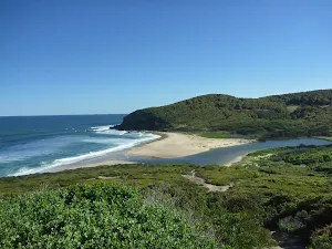
Glenrock State Conservation Area
Comments
Short URL: http://wild.tl/ywttfc