Katandra Circuit
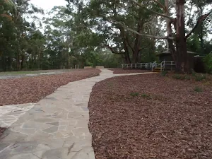
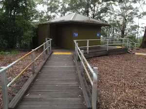

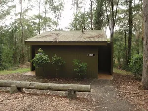
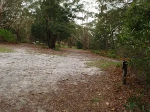
(0km) St Johns Lookout car park → Toilet block
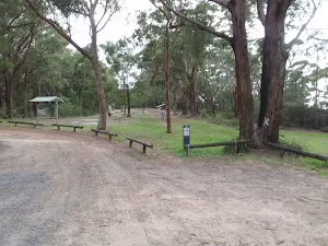
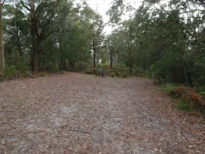
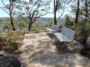
St Johns Lookout picnic area
(0km) Toilet block → St Johns Lookout
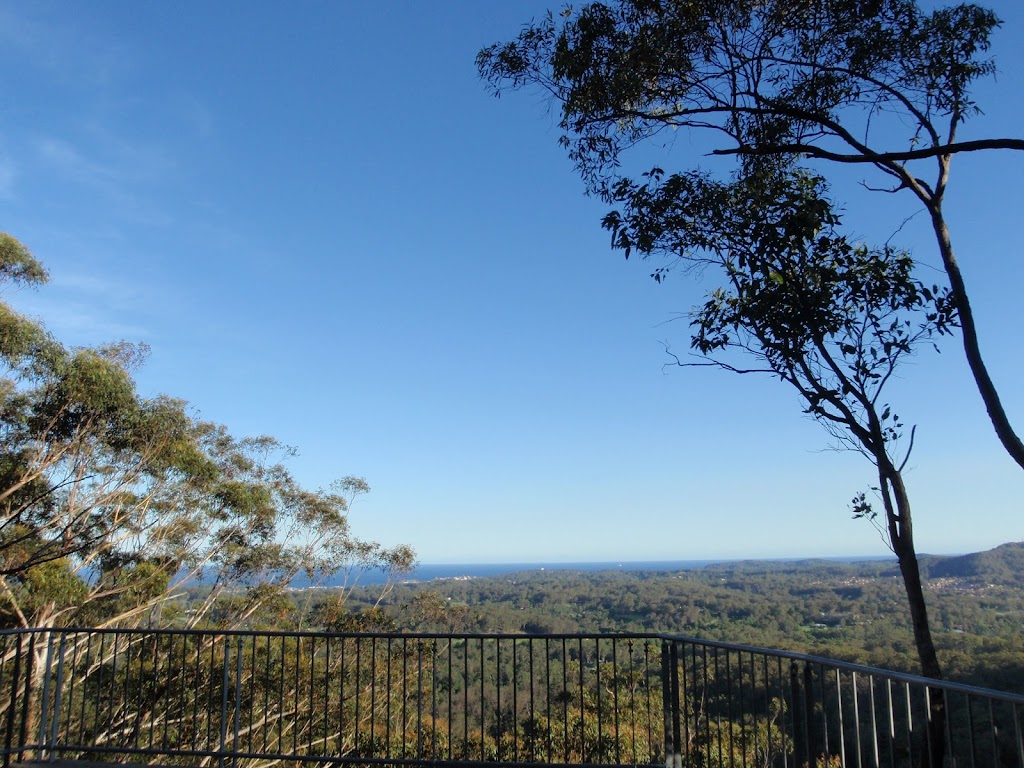
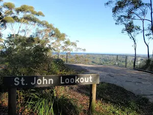
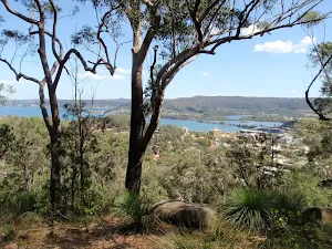
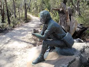
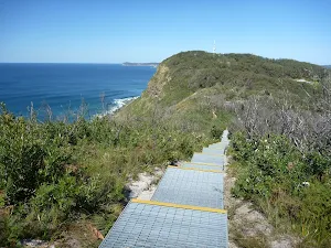
St Johns Lookout
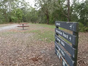
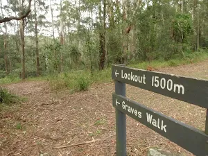
(0km) Toilet block → Upper Int of Toomey walk and Katandra Horse track
(0km) Upper Int of Toomey walk and Katandra Horse track → Lower Int of Toomey walk and Katandra Horse track
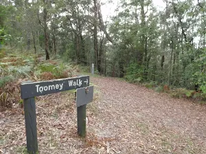
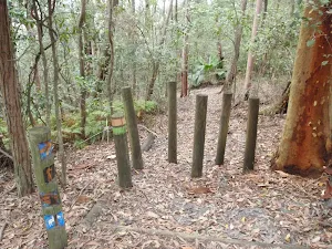
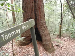
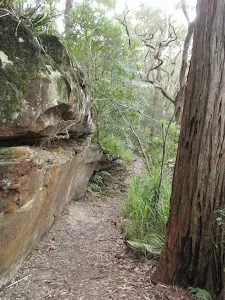
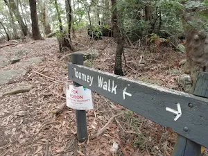
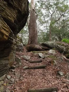
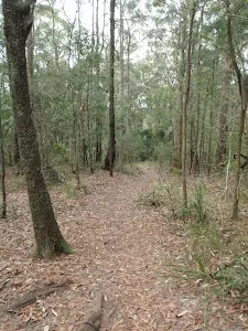
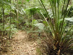
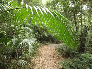
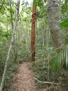
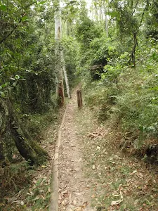
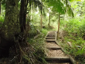
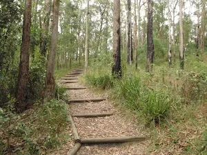
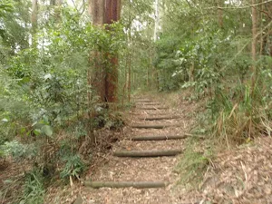
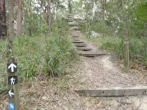
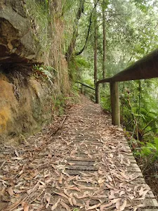
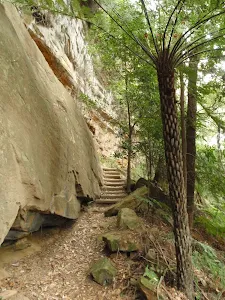
Continue straight: From the intersection, this walk follows the 'Toomey Walk' sign down the steps and left around the tree and through a cleft in the rock. The track zigzags down the hill and, about 100m past a rock platform with views, the track leads through some timber posts to come to a 'T' intersection with the Katandra Horse Track.
(1km) Lower Int of Toomey walk and Katandra Horse track → Strangler Fig platform
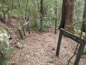
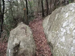
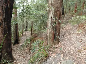
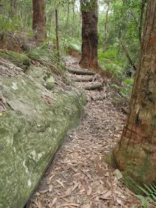
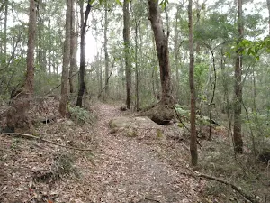
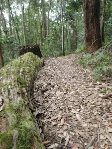
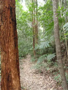
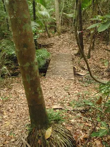
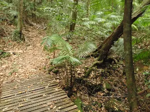
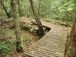
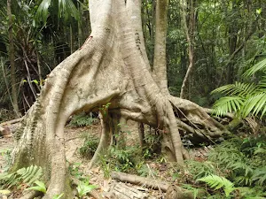
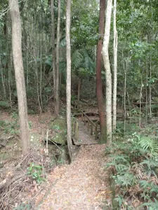
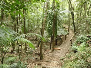
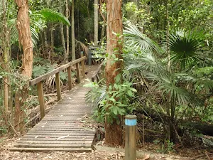
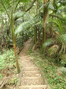
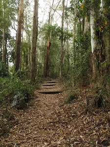
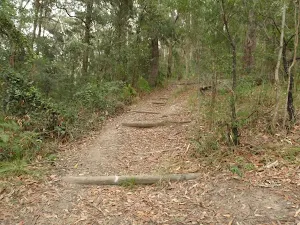
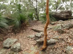
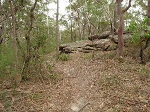
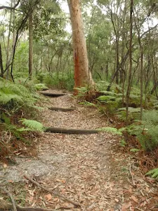
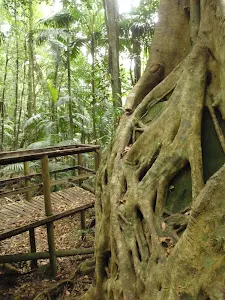
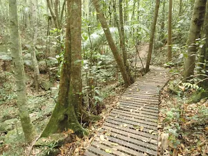
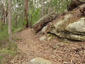
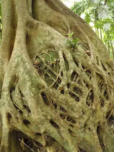
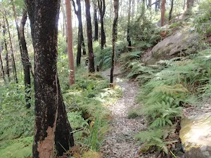
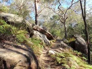
Veer right: From the intersection, this walk follows the left-hand arrow on the 'Toomey Walk' sign, over a small rise and along a narrow track. The track then heads down a short set of stairs and past a large rock. After a switchback, the track heads down another set of stairs then continues more gently down the hill. After a few more zigzags, the bush becomes more dense and thick vines become prevalent. Once on the valley floor, the walk crosses a couple of small creeks on small timber bridges and soon heads down some stairs, coming to the timber platform and a large Strangler Fig tree.
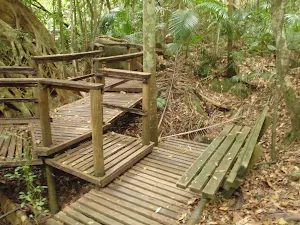
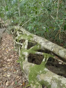
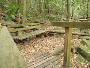
Strangler Fig platform
(2km) Strangler Fig platform → Strangler Fig Tube
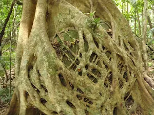
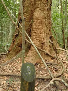
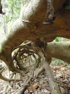
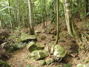
Strangler Fig Tube
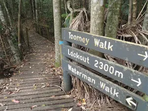
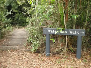
(2km) Strangler Fig Tube → Int of Waterman and Toomey walks
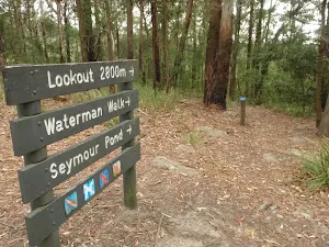
(2km) Int of Waterman and Toomey walks → Seymour Pond Picnic area
(2km) Int of Waterman and Toomey walks → Waterman View
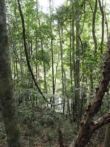
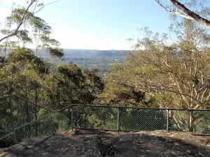
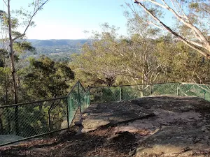
Waterman View
(3km) Waterman View → Seymour Pond Picnic area
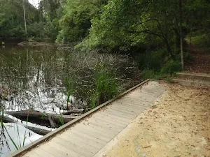
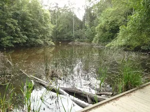
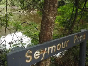
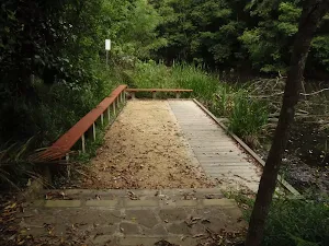
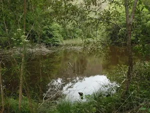
Seymour Pond
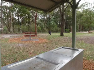
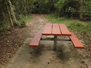
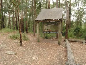
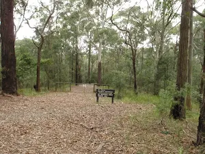
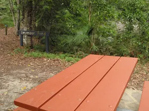
Seymour Pond Picnic Area
(3km) Seymour Pond Picnic area → Katandra Rd picnic area
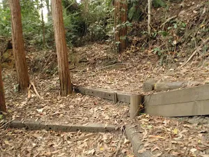
Turn right: From the intersection, this walk follows the lower arrow up the steps and turns left in front of the locked gate. The walk follows these steps up the hill, then soon flattens out as the track comes to a picnic area and car park.
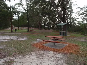
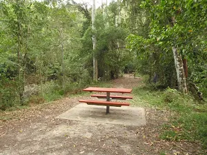
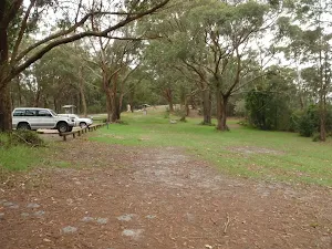
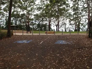
Katandra Rd Picnic Area
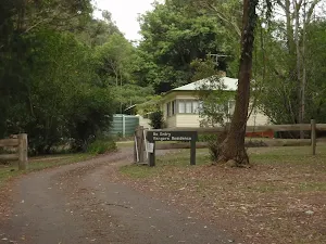
(3km) Katandra Rd picnic area → Behind the Rangers Residence
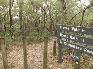
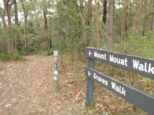
(4km) Behind the Rangers Residence → Int of Graves and Mouat Walks
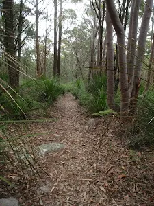
Continue straight: From the intersection, this walk follows the walking track gently uphill, keeping the horse track on the left. The track soon bends right and heads between the timber posts, then zigzags up the hill. The track passes between more posts to a signposted intersection with the 'Mouat Walk' and a sign pointing back along 'Graves Walk'.
(5km) Int of Graves and Mouat Walks → St Johns Lookout car park
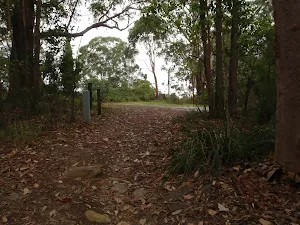
Continue straight: From the intersection, this walk heads through the clearing towards the picnic area, soon coming to the car park and information sign.
Maps for the Katandra Circuit walk
You can download the PDF for this walk to print a map.
These maps below cover the walk and the wider area around the walk, they are worth carrying for safety reasons.
| Gosford | 1:25 000 Map Series | 91312S GOSFORD | NSW-91312S |
| Gosford | 1:100 000 Map Series | 9131 GOSFORD | 9131 |
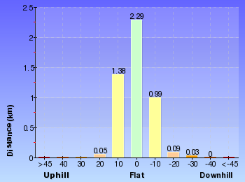
Cross sectional view of the Katandra Circuit bushwalking track
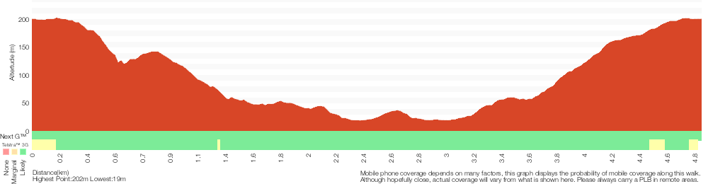
Analysis and summary of the altitude variation on the Katandra Circuit
Overview of this walks grade – based on the AS 2156.1 – 2001
Under this standard, a walk is graded based on the most difficult section of the walk.
| Length | 4.8 km | ||
| Time | 2 hrs 15 mins | ||
| . | |||
Grade 3/6 Moderate track | AS 2156.1 | Gradient | Short steep hills (3/6) |
| Quality of track | Formed track, with some branches and other obstacles (3/6) | ||
| Signs | Clearly signposted (1/6) | ||
| Experience Required | Some bushwalking experience recommended (3/6) | ||
| Weather | Weather generally has little impact on safety (1/6) | ||
| Infrastructure | Limited facilities, not all cliffs are fenced (3/6) |
Some more details of this walks Grading
Here is a bit more details explaining grading looking at sections of the walk
Gradient
2.7km of this walk has short steep hills and another 1.8km has gentle hills with occasional steps. The remaining (320m) is flat with no steps.
Quality of track
Around 3.6km of this walk follows a clear and well formed track or trail, whilst the remaining 1.2km follows a formed track, with some branches and other obstacles.
Signs
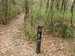
This whole walk, 4.8km is clearly signposted.
Experience Required
Around 2.8km of this walk requires no previous bushwalking experience, whilst the remaining 2km requires some bushwalking experience.
weather
This whole walk, 4.8km is not usually affected by severe weather events (that would unexpectedly impact safety and navigation).
Infrastructure
Around 3.3km of this walk is close to useful facilities (such as fenced cliffs and seats), whilst the remaining 1.5km has limited facilities (such as not all cliffs fenced).
Similar walks
A list of walks that share part of the track with the Katandra Circuit walk.
St Johns Lookout
166 m Return, 10 mins
Very easy
Seymour Pond
890 m Return, 30 mins
Easy track
Guringai Walk
1.2 km Circuit, 45 mins
Moderate track
Graves Walk
1.5 km One way, 45 mins
Moderate track
Watermans Walk
1.6 km Circuit, 45 mins
Easy track
Strangler Fig Walk
2 km Return, 1 Hr
Moderate track
Toomeys Walk
2.9 km One way, 1 hr 30 mins
Moderate track
Mouat Trail (Katandra to Rumbalara)
4.1 km One way, 2 hrs
Hard track
Katandra Reserve Explorer
5.3 km Circuit, 2 hrs 45 mins
Moderate track
Matcham to Gosford
8.5 km One way, 3 hrs 45 mins
Hard track
Gosford to Lisarow
11.3 km One way, 4 hrs 30 mins
Hard track
Other Nearby walks
A list of walks that start near the Katandra Circuit walk.
Tottenham Place to Wannagan Lookout
900 m Return, 30 mins
Hard track
Flannel Flower Track
1.6 km Circuit, 45 mins

Moderate track
Ironbark and Flannel Flower circuit
2.1 km Circuit, 1 Hr
Moderate track
Upper Rumbalara circuit
3.3 km Circuit, 1 hr 30 mins
Hard track
Red Gum Walk
1.4 km Circuit, 45 mins
Hard track
Ironbark Loop
643 m Circuit, 30 mins
Moderate track
Forresters Beach to Crackneck Beach
5.8 km Return, 2 hrs 30 mins

Experienced only
John Whiteway Dr to Tottenham Pl
3 km One way, 1 hr 30 mins
Hard track
Ouraka Point loop
2.1 km Circuit, 1 hr 15 mins
Hard track
Rumbalara Explorer
6.1 km Circuit, 2 hrs 45 mins
Hard track
Wyrrabalong lookout
382 m Return, 15 mins

Moderate track
Wyrrabalong Lookout to Crackneck Lookout
1.6 km One way, 45 mins
Moderate track
Plan your trip to and from the walk here
The Katandra Circuit walk starts and ends at the St Johns Lookout car park (gps: -33.406505, 151.39009)
Weather Forecast
This walk starts in the Hunter weather district.
Current Alerts
Park Information
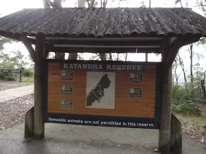
Katandra Reserve
The Katandra Reserve is a protected area of bushland east of Gosford City and north of Erina. The area is part of the Hornsby Sandstone Plateau and is home to some diverse flora and fauna. There are two main picnic areas and a few great walking and horse riding tracks in the reserve as well as the St Johns Lookout. Katandra is an aborginal word meaning 'Song of Birds', the name suits this place well, with the diverse forest been home to many birds happy to share their songs with walkers.
Comments
Short URL: http://wild.tl/2d