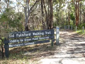
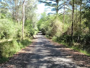
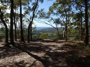
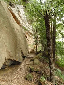
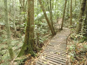
Sid Pulsford Walk
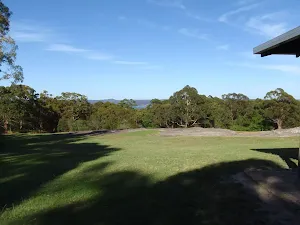
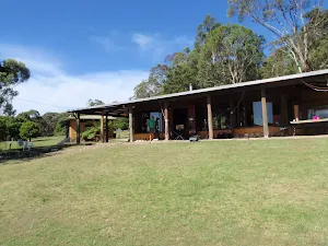
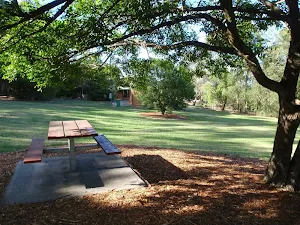
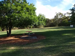
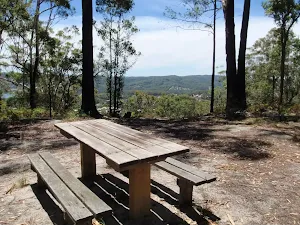
Honeman's Rock picnic area
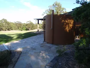
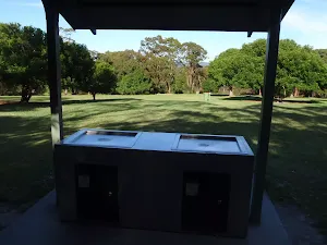
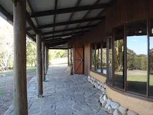
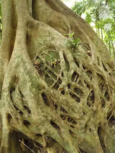
Mud Brick Building
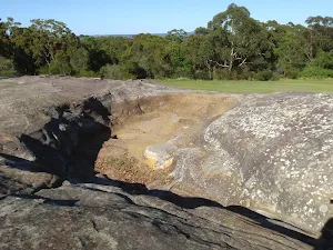
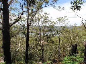
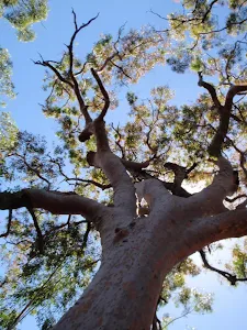
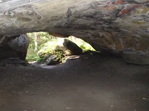
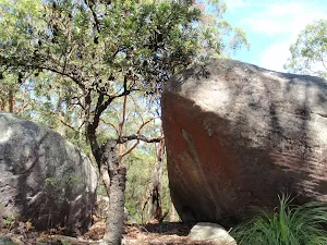
Honeman's Rock
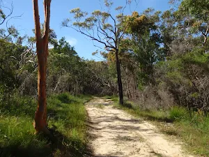
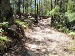
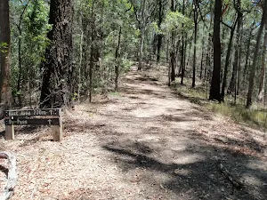
(0km) Mudbrick building car park → Northern end of picnic area
(0km) Northern end of picnic area → Int of Sid Pulsford Walking and Warriwarri Lookout trails
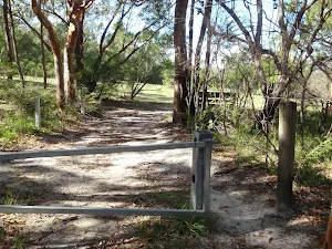
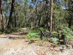
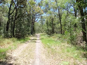
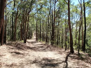
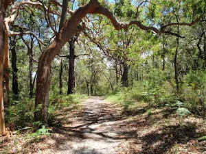
Continue straight: From the intersection, this walk follows the wide management trail north, past the large twisted angophora, coming to the 'Y' intersection marked by two signs[15] (just visible from the previous intersection).
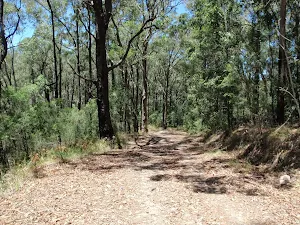
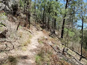
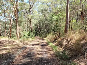
(0km) Int of Sid Pulsford Walking and Warriwarri Lookout trails → Int of Sid Pulsford Walking trail and track
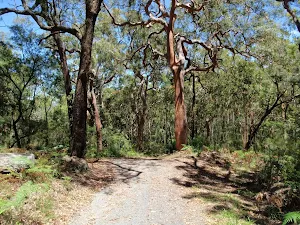
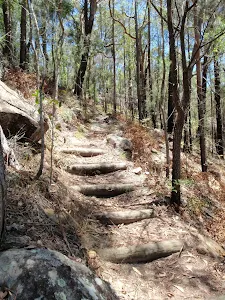
(2km) Int of Sid Pulsford Walking trail and track → Sid Pulsford Saddle intersection
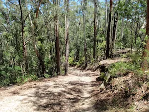
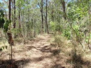
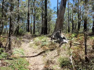
(2km) Sid Pulsford Saddle intersection → Int of Sid Pulsford walking trail and rest area trail
(2km) Sid Pulsford Saddle intersection → By-pass rest area
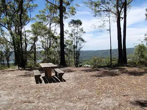
By-pass rest area
(2km) By-pass rest area → Int of Sid Pulsford walking trail and rest area trail
(3km) Int of Sid Pulsford walking trail and rest area trail → Sid Pulsford walk lookout intersection
(3km) Sid Pulsford walk lookout intersection → Sid Pulsford walk lookout
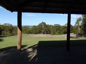
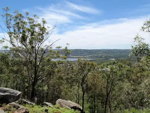
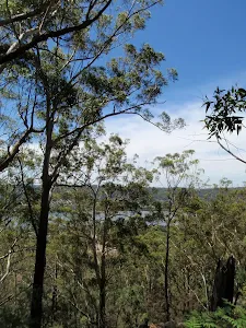
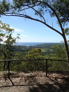
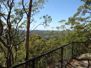
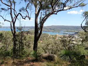
Sid Pulsford Walk lookout
(3km) Sid Pulsford walk lookout intersection → Top of Woorara fire trail
(3km) Top of Woorara fire trail → End of Woorara Pde
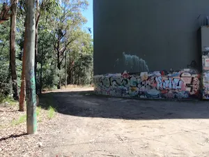
(3km) Top of Woorara fire trail → Water Tank
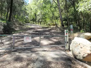
(4km) Water Tank → End of Beatties Rd
Maps for the Sid Pulsford Walk walk
You can download the PDF for this walk to print a map.
These maps below cover the walk and the wider area around the walk, they are worth carrying for safety reasons.
| Gosford | 1:25 000 Map Series | 91312S GOSFORD | NSW-91312S |
| Gosford | 1:100 000 Map Series | 9131 GOSFORD | 9131 |
Cross sectional view of the Sid Pulsford Walk bushwalking track
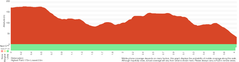
Analysis and summary of the altitude variation on the Sid Pulsford Walk
Overview of this walks grade – based on the AS 2156.1 – 2001
Under this standard, a walk is graded based on the most difficult section of the walk.
| Length | 4.1 km | ||
| Time | 1 hr 45 mins | ||
| . | |||
Grade 4/6 Hard track | AS 2156.1 | Gradient | Very steep (4/6) |
| Quality of track | Clear and well formed track or trail (2/6) | ||
| Signs | Minimal directional signs (4/6) | ||
| Experience Required | Some bushwalking experience recommended (3/6) | ||
| Weather | Weather generally has little impact on safety (1/6) | ||
| Infrastructure | Generally useful facilities (such as fenced cliffs and seats) (1/6) |
Some more details of this walks Grading
Here is a bit more details explaining grading looking at sections of the walk
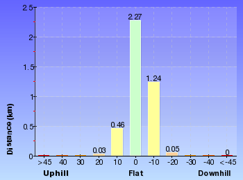
Gradient
1.9km of this walk is very steep and another 1.7km has short steep hills. Whilst another 290m has gentle hills with occasional steps and the remaining 180m is flat with no steps.
Quality of track
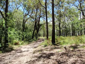
This whole walk, 4.1km follows a clear and well formed track or trail.
Signs
2.8km of this walk has minimal directional signs and another 750m has directional signs at most intersection. The remaining (480m) is clearly signposted.
Experience Required
Around 3.6km of this walk requires some bushwalking experience, whilst the remaining 480m requires no previous bushwalking experience.
weather
This whole walk, 4.1km is not usually affected by severe weather events (that would unexpectedly impact safety and navigation).
Infrastructure
This whole walk, 4.1km is close to useful facilities (such as fenced cliffs and seats).
Similar walks
A list of walks that share part of the track with the Sid Pulsford Walk walk.
Warri Warri Track (via Warriwarri Lookout)
1.5 km One way, 45 mins
Hard track
Warriwarri Lookout
1.5 km Return, 30 mins
Easy track
Other Nearby walks
A list of walks that start near the Sid Pulsford Walk walk.
Ridge Trail loop
962 m Circuit, 30 mins
Moderate track
Kanning Cave Walk
922 m Return, 20 mins
Easy track
Kanning Walk
1.3 km Circuit, 30 mins
Easy track
Yanina Walk
3.2 km Return, 1 hr 15 mins
Easy track
Glasson's Trail
1.7 km One way, 1 Hr
Moderate track
Kincumber to Terrigal (via Glasson's Trl)
4.5 km One way, 2 hrs
Hard track
Sandringham Circuit
2.9 km Circuit, 1 hr 30 mins
Hard track
Sandringham Track
2.2 km Return, 1 hr 15 mins
Hard track
Katandra Reserve Explorer
5.3 km Circuit, 2 hrs 45 mins
Moderate track
Matcham to Gosford
8.5 km One way, 3 hrs 45 mins
Hard track
Strangler Fig Walk
2 km Return, 1 Hr
Moderate track
Seymour Pond
890 m Return, 30 mins
Easy track
Plan your trip to and from the walk here
The Sid Pulsford Walk walk starts at the Mudbrick building car park (gps: -33.459138, 151.39182)
The Sid Pulsford Walk ends at the End of Beatties Rd (gps: -33.458870, 151.36193)
Comments
Short URL: http://wild.tl/spw