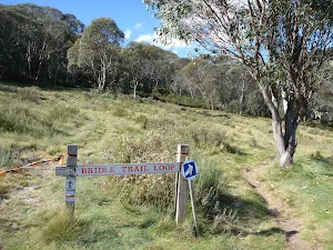
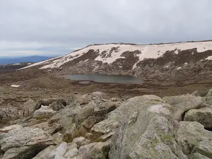
Bridle Trail Loop
Covered in snow part of the year
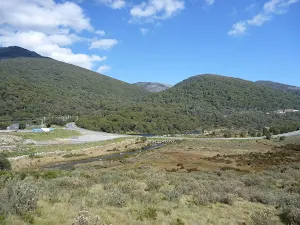
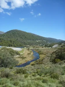
(0km) Thredboland intersection → Friday Flats
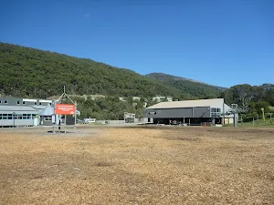
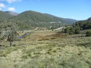
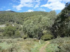
Friday Flat
(0km) Friday Flats → Bottom of Easy Does it
(0km) Bottom of Easy Does it → Bridge intersection
(0km) Bridge intersection → Bridle Loop intersection
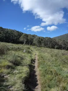
(1km) Bridle Loop intersection → Bridle Loop Flat
Bridle Loop Flat
(1km) Bridle Loop Flat → Thredboland intersection
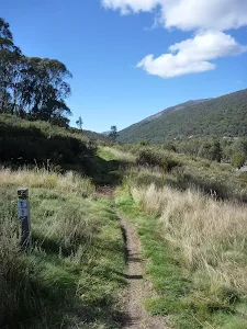
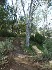
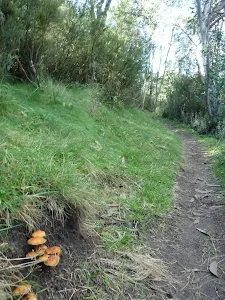
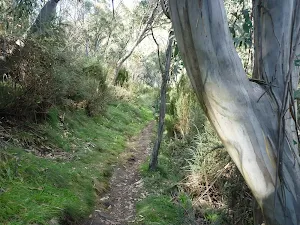
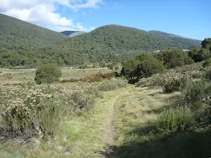
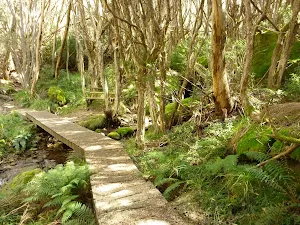
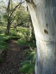
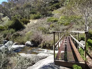
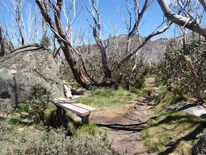
Veer right: From the intersection, this walk follows the 'Bridle Trail Loop' track gently uphill (away from the other two tracks) keeping the main valley to your left[42][43]. The track leads up into the snow gums[44] and along the side of the hill, following a few arrow posts that soon lead down and across the flat bridge[45] and to a 'Y' intersection[46].
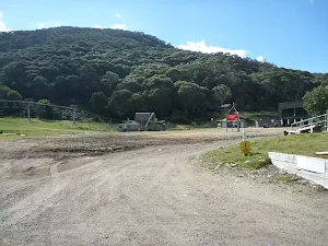
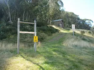
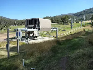
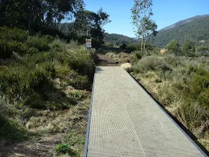
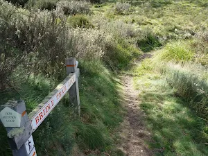
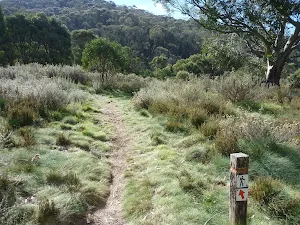
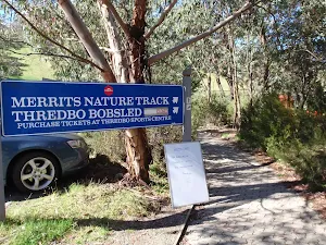
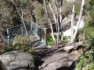
Continue straight: From the intersection, this walk follows the upper track[47] heading east, away from the bridge, keeping the lower track and valley to your left. The track soon leads over a metal grate[48] and follows a couple of arrow post along the side of the hill. Soon after passing a small building[49], the track leads downhill past the 'Bridle Trail Loop' sign[50] and down to the bottom of the 'Easy Does It' chairlift[51].
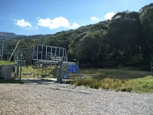
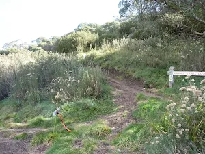
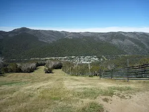
Turn right: From the bottom of the 'Easy Does It' chairlift[52], this walk heads in front of the buildings across the large clearing of Friday Flats[53]. Just near the bottom on the 'Gunbarrel Express' chairlift[54], this walk comes to an intersection with a trail marked with a couple of signs including a 'Bridle Trail Loop' sign[55] pointing back across Friday Flats.
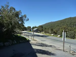
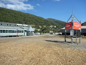
Turn left: From the intersection, this walk follows the driveway down the hill[56], past 'Thredboland'[57] to come to a 'T' intersection[58] with Friday Drive (about 80m south of the roundabout).
Maps for the Bridle Trail Loop walk
You can download the PDF for this walk to print a map.
These maps below cover the walk and the wider area around the walk, they are worth carrying for safety reasons.
| Perisher Valley | 1:25 000 Map Series | 85252S PERISHER VALLEY | NSW-85252S |
| Chimneys Ridge | 1:25 000 Map Series | 85241N CHIMNEYS RIDGE | NSW-85241N |
| Kosciuszko | 1:100 000 Map Series | 8525 KOSCIUSZKO | 8525 |
| Jacobs River | 1:100 000 Map Series | 8524 JACOBS RIVER | 8524 |
Cross sectional view of the Bridle Trail Loop bushwalking track
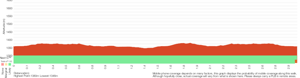
Analysis and summary of the altitude variation on the Bridle Trail Loop
Overview of this walks grade – based on the AS 2156.1 – 2001
Under this standard, a walk is graded based on the most difficult section of the walk.
| Length | 2.9 km | ||
| Time | 1 hr 15 mins | ||
| . | |||
Grade 3/6 Moderate track | AS 2156.1 | Gradient | Short steep hills (3/6) |
| Quality of track | Formed track, with some branches and other obstacles (3/6) | ||
| Signs | Directional signs along the way (3/6) | ||
| Experience Required | Some bushwalking experience recommended (3/6) | ||
| Weather | Storms may impact on navigation and safety (3/6) | ||
| Infrastructure | Limited facilities, not all cliffs are fenced (3/6) |
Some more details of this walks Grading
Here is a bit more details explaining grading looking at sections of the walk
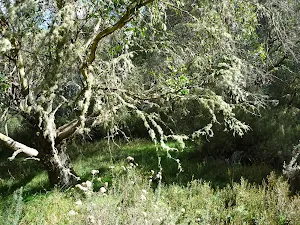
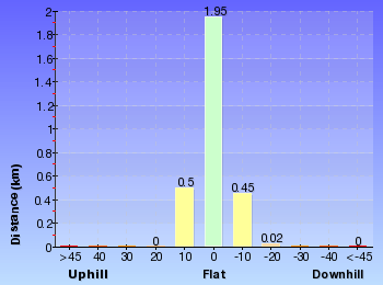
Gradient
2.1km of this walk has gentle hills with occasional steps and another 670m has short steep hills. The remaining (200m) is flat with no steps.
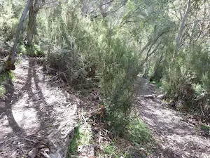
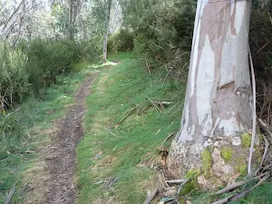
Quality of track
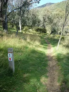
2.3km of this walk follows a clear and well formed track or trail and another 550m follows a formed track, with some branches and other obstacles. The remaining (120m) follows a smooth and hardened path.
Signs
Around 1.8km of this walk has directional signs at most intersection, whilst the remaining 1.1km is clearly signposted.
Experience Required
Around 2.6km of this walk requires some bushwalking experience, whilst the remaining 330m requires no previous bushwalking experience.
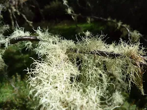
weather
Around 2.6km of this walk is affected by storms that may impact your navigation and safety, whilst the remaining 330m is not usually affected by severe weather events (that would unexpectedly impact safety and navigation).
Infrastructure
Around 1.8km of this walk has limited facilities (such as not all cliffs fenced), whilst the remaining 1.1km is close to useful facilities (such as fenced cliffs and seats).
Similar walks
A list of walks that share part of the track with the Bridle Trail Loop walk.
Merritts Traverse
5.8 km Circuit, 3 hrs
Hard track
Other Nearby walks
A list of walks that start near the Bridle Trail Loop walk.
Meadows Nature Track
3.1 km Circuit, 1 hr 30 mins
Hard track
Pipeline Path
3.3 km Circuit, 1 hr 15 mins
Moderate track
Thredbo to Village Weir return
2.2 km Return, 1 Hr
Hard track
Merritts Nature Track
3.7 km Circuit, 2 hrs 30 mins
Hard track
Kosciuszko walk - Thredbo to Kosciuszko lookout
3.8 km Return, 2 hrs 30 mins
Hard track
Thredbo to Cootapatamba lookout return
7.5 km Return, 3 hrs 45 mins
Hard track
Kosciuszko walk - Thredbo to Mount Kosciuszko
12.4 km Return, 6 hrs
Hard track
Dead Horse Gap Loop track
9.8 km Circuit, 4 hrs 30 mins
Hard track
Riverside and Golf Course Walk
3.3 km Circuit, 1 hr 15 mins
Moderate track
Thredbo River track
4.8 km One way, 1 hr 45 mins
Moderate track
Thredbo to Cascades Lookout return
4.7 km Return, 2 hrs
Moderate track
Dead Horse Gap and Thredbo River loop
10.1 km Circuit, 5 hrs
Hard track
Plan your trip to and from the walk here
The Bridle Trail Loop walk starts and ends at the Thredboland intersection (gps: -36.499520, 148.31137)
Weather Forecast
This walk starts in the Snowy Mountains weather district.
Current Alerts
Park Information
Kosciuszko National Park
Comments
Short URL: http://wild.tl/btl