Guthega Trig
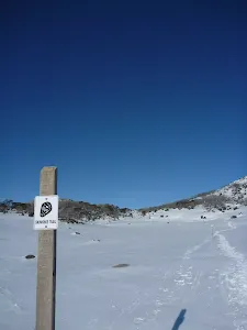
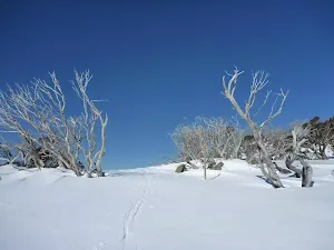
* This walk passes through very remote areas and sections have no visible track. At least one person in your group should have training and experience in off track walking and navigation. Even with these notes and a GPS these extra skills and equipment are required.


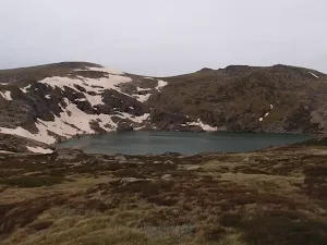
Covered in snow part of the year
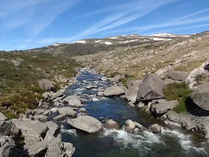
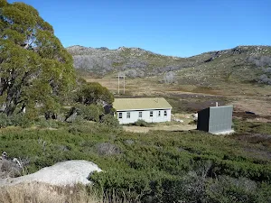
Guthega
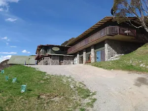
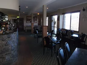
Guthega Alpine Inn
(0km) Guthega Centre → Southern end of Guthega Dam Wall
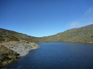
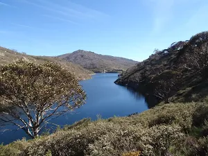
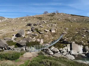
Guthega Pondage
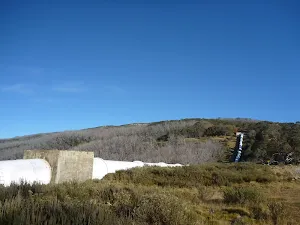
(1km) Southern end of Guthega Dam Wall → Guthega Shaft intersection
(1km) Guthega Shaft intersection → Bottom of Guthega Ridge
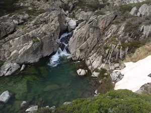
(1km) Bottom of Guthega Ridge → Guthega View
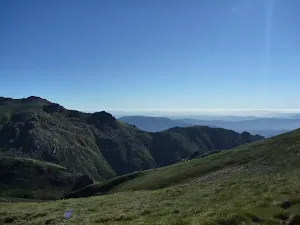
Guthega View
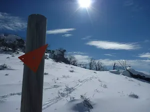
(3km) Guthega View → Guthega Trig
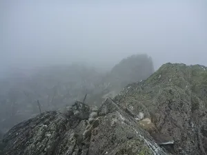
Guthega Trig
Maps for the Guthega Trig walk
You can download the PDF for this walk to print a map.
These maps below cover the walk and the wider area around the walk, they are worth carrying for safety reasons.
| Perisher Valley | 1:25 000 Map Series | 85252S PERISHER VALLEY | NSW-85252S |
| Geehi Dam | 1:25 000 Map Series | 85252N GEEHI DAM | NSW-85252N |
| Chimneys Ridge | 1:25 000 Map Series | 85241N CHIMNEYS RIDGE | NSW-85241N |
| Kosciuszko | 1:100 000 Map Series | 8525 KOSCIUSZKO | 8525 |
| Jacobs River | 1:100 000 Map Series | 8524 JACOBS RIVER | 8524 |
Cross sectional view of the Guthega Trig bushwalking track
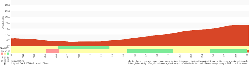
Analysis and summary of the altitude variation on the Guthega Trig
Overview of this walks grade – based on the AS 2156.1 – 2001
Under this standard, a walk is graded based on the most difficult section of the walk.
| Length | 6 km | ||
| Time | 3 hrs | ||
| . | |||
Grade 6/6 Very experienced only | AS 2156.1 | Gradient | Very steep and difficult scrambles (5/6) |
| Quality of track | Rough unclear track (5/6) | ||
| Signs | No directional signs (5/6) | ||
| Experience Required | Very high level of bushwalking experience recommended (6/6) | ||
| Weather | Forecast, unforecast storms and severe weather likely to have an impact on your navigation and safety (5/6) | ||
| Infrastructure | No facilities provided (5/6) |
Some more details of this walks Grading
Here is a bit more details explaining grading looking at sections of the walk
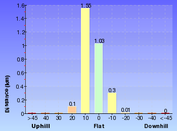
Gradient
1.6km of this walk is very steep and another 1.3km has gentle hills with occasional steps. The remaining (110m) is very steep with difficult rock scrambles.
Quality of track
Around 1.7km of this walk follows a rough unclear track, whilst the remaining 1.3km follows a clear and well formed track or trail.
Signs
Around 1.7km of this walk Has no directional signs, whilst the remaining 1.3km is clearly signposted.
Experience Required
Around 1.7km of this walk requires at least one leader with a very high level of bushwalking experience, whilst the remaining 1.3km requires some bushwalking experience.
weather
1.6km of this walk is affected by forecast, unforecast storms and severe weather events that may impact on navigation and safety and another 1.3km is affected by storms that may impact your navigation and safety. The remaining (110m) forecast, unforecast storms and severe weather likely to have an impact on your navigation and safety.
Infrastructure
Around 1.7km of this walk has no facilities provided, whilst the remaining 1.3km is close to useful facilities (such as fenced cliffs and seats).
Similar walks
A list of walks that share part of the track with the Guthega Trig walk.
Guthega River Snowshoe
3.3 km Return, 1 hr 30 mins
Hard track
Other Nearby walks
A list of walks that start near the Guthega Trig walk.
Guthega to Blue Lake via Little Twynam
17.4 km Return, 8 hrs
Experienced only
Guthega to Thredbo camping overnight at Wilkensons Creek
25.8 km One way, 2 Days
Experienced only
Guthega to Charlotte Pass
15.2 km One way, 6 hrs 30 mins
Experienced only
Illawong Walk
6.4 km Return, 2 hrs 45 mins
Moderate track
Guthega to Mt Twynam
14.8 km Return, 6 hrs 45 mins

Experienced only
Guthega to Snowy River Suspension Bridge
6.4 km Return, 2 hrs 30 mins
Moderate track
Main Range Circuit from Guthega
45 km Circuit, 4 Days
Experienced only
Mount Piper Trail
5.2 km One way, 2 hrs 45 mins
Hard track
Munyang River Circuit
14.1 km Circuit, 5 hrs 30 mins
Hard track
Schlink Hut Walk
22.4 km Return, 9 hrs
Hard track
Rock Creek Snowshoe Trail
3 km Circuit, 1 hr 30 mins
Moderate track
Wheatley Circuit
7.3 km Circuit, 3 hrs
Hard track
Plan your trip to and from the walk here
The Guthega Trig walk starts and ends at the Guthega Centre (gps: -36.377478, 148.37589)
Weather Forecast
This walk starts in the Snowy Mountains weather district.
Current Alerts
Park Information
Kosciuszko National Park
Comments
Short URL: http://wild.tl/1m