Blackbutt Creek Return


(0km) Gordon Station → Int. Blackbutt Creek Trk and Vale St
Continue straight: From Gordon Station bus depot, this walk heads up the hill of St Johns Ave to the Pacific Highway. The walk crosses to the other side at the pedestrian crossing. From here, this walk follows the shop fronts up the Pacific Highway, then turns left onto Moree St. This street is followed until the walk turns right onto Vale St. This walk continues along Vale St for a short time to the intersection with the bush track on the left of the street.
(1km) Int. Blackbutt Creek Trk and Vale St → Int. Lady Game Drive and Falls Creek Trk
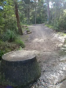
Veer left: From the intersection, this walk heads down the hill, passing a concrete sewerage inspection hole on the right. The trail continues along the creek line for another 20m, to the intersection which leads down to the creek on the right.
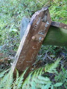
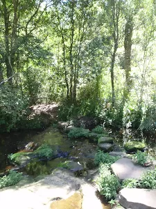
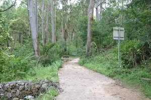
Continue straight: From the intersection, this walk follows the creek downstream for approximately 200m to the signposted intersection.
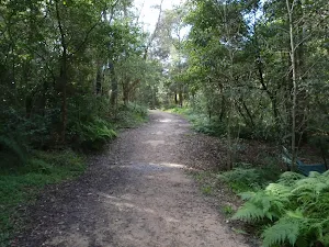
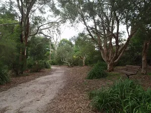
Continue straight: From the intersection, this walk follows the left-hand arrow on the 'Blackbutt Creek Track' sign, down the hill. The track contours with the creek on the right, and the houses high on the left, for approximately 1km to then steeply descend to the intersection above the concreted water-crossing.
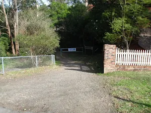
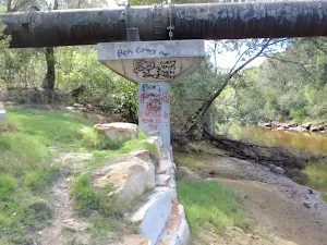
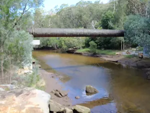
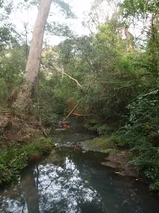
Continue straight: From the intersection, this walk heads down the hill, across the concrete ford (creek), to then turn right and follow along side the creek. The trail tends left away from the creek, up to a white gate.
Maps for the Blackbutt Creek Return walk
You can download the PDF for this walk to print a map.
These maps below cover the walk and the wider area around the walk, they are worth carrying for safety reasons.
| Parramatta River | 1:25 000 Map Series | 91303N PARRAMATTA RIVER | NSW-91303N |
| Sydney | 1:100 000 Map Series | 9130 SYDNEY | 9130 |
Cross sectional view of the Blackbutt Creek Return bushwalking track
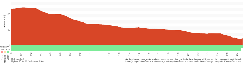
Analysis and summary of the altitude variation on the Blackbutt Creek Return
Overview of this walks grade – based on the AS 2156.1 – 2001
Under this standard, a walk is graded based on the most difficult section of the walk.
| Length | 5.5 km | ||
| Time | 2 hrs | ||
| . | |||
Grade 3/6 Moderate track | AS 2156.1 | Gradient | Short steep hills (3/6) |
| Quality of track | Formed track, with some branches and other obstacles (3/6) | ||
| Signs | Directional signs along the way (3/6) | ||
| Experience Required | No experience required (1/6) | ||
| Weather | Weather generally has little impact on safety (1/6) | ||
| Infrastructure | Limited facilities, not all cliffs are fenced (3/6) |
Some more details of this walks Grading
Here is a bit more details explaining grading looking at sections of the walk
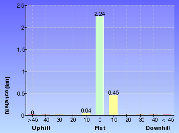
Gradient
Around 1.5km of this walk has short steep hills, whilst the remaining 1.2km has gentle hills with occasional steps.
Quality of track
1.8km of this walk follows a formed track, with some branches and other obstacles and another 960m follows a smooth and hardened path. The remaining (20m) follows a clear and well formed track or trail.
Signs
Around 1.4km of this walk has directional signs at most intersection, whilst the remaining 1.4km is clearly signposted.
Experience Required
This whole walk, 2.7km requires no previous bushwalking experience.
weather
This whole walk, 2.7km is not usually affected by severe weather events (that would unexpectedly impact safety and navigation).
Infrastructure
Around 1.4km of this walk has limited facilities (such as not all cliffs fenced), whilst the remaining 1.4km is close to useful facilities (such as fenced cliffs and seats).
Similar walks
A list of walks that share part of the track with the Blackbutt Creek Return walk.
Gordon to Roseville Railway Station
10.7 km One way, 4 hrs 30 mins

Hard track
Epping to Gordon Station
11.7 km One way, 4 hrs 15 mins
Hard track
Gordon to Chatswood Station
12.2 km One way, 4 hrs 30 mins
Hard track
Gordon to Roseville Station (Riverside Walk)
13.3 km One way, 4 hrs 30 mins
Hard track
Gordon to Hornsby (overnight at Scout camp)
25.8 km One way, 2 Days

Hard track
Other Nearby walks
A list of walks that start near the Blackbutt Creek Return walk.
East Killara Track
6 km One way, 2 hrs 45 mins
Hard track
Killara to St Ives via Rocky Creek
6.8 km One way, 3 hrs
Experienced only
St Ives to Davidson Park via Casuarina Track
9 km One way, 4 hrs
Hard track
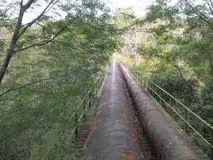
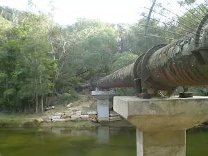
The Pipeline Track
4.7 km Return, 2 hrs
Moderate track
The Pipeline Way
4.7 km One way, 2 hrs 15 mins
Hard track
Sheldon Cascades walk
360 m Return, 15 mins
Easy track
East Killara Bushtrack
2.6 km One way, 1 hr 15 mins
Hard track
Bungaroo Track
3.6 km Return, 1 hr 30 mins
Hard track
Founders Way
3 km Return, 1 hr 30 mins
Moderate track
Bungaroo and Founders Way Loop
3.5 km Circuit, 1 hr 30 mins

Hard track
Browns Waterhole Track
1.3 km One way, 30 mins
Moderate track
Kissing Pt Rd to De Burghs Bridge
4.4 km One way, 1 hr 45 mins
Hard track
Plan your trip to and from the walk here
The Blackbutt Creek Return walk starts and ends at the Gordon Station (gps: -33.756038, 151.15425)
Weather Forecast
This walk starts in the Metropolitan weather district.
Current Alerts
Park Information
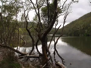
Blackbutt Reserve
Blackbutt Reserve is a large area of natural bushland owned and managed by Ku-ring-gai council. The park extends from Lady Game drive up to Vale St, west of Gordon Golf course. The park is supports a number of service trail and bush track allowing visitors to explore large areas of the park. The park is also home to vulnerable Large Forest Owls.
Comments
Short URL: http://wild.tl/bcr