Campbell Drive to Snapper Point
* This walk passes through very remote areas and sections have no visible track. At least one person in your group should have training and experience in off track walking and navigation. Even with these notes and a GPS these extra skills and equipment are required.
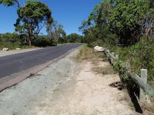
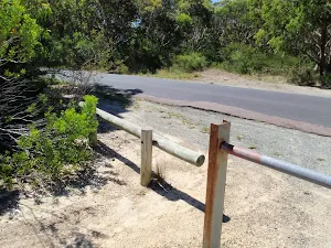


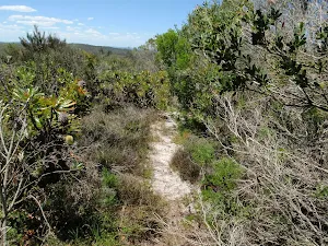
(0km) Int of Geebung Track and Campbell Dr → Birdie Beach View
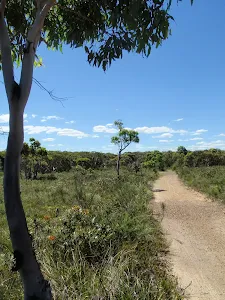
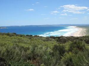
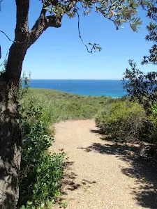
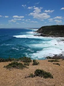
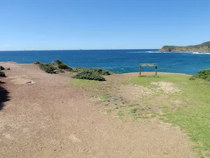
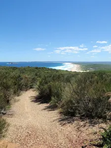
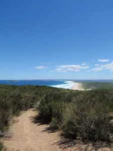
Birdie Beach View
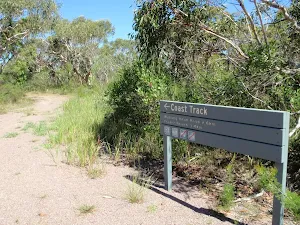
(2km) Birdie Beach View → Int of Geebung Track and Wybung Head Rd
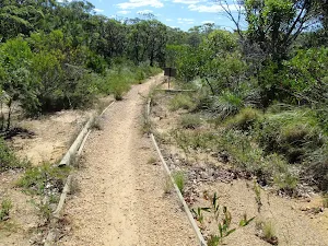
(2km) Int of Geebung Track and Wybung Head Rd → Upper end of Grass Tree Track
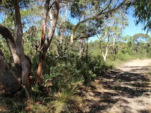
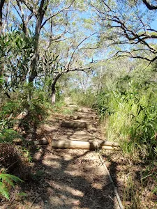
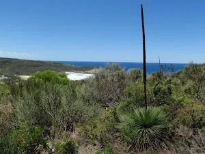
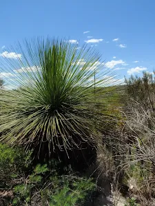
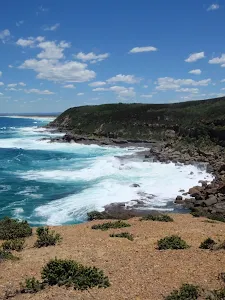
(2km) Upper end of Grass Tree Track → Tip of Wybung Head
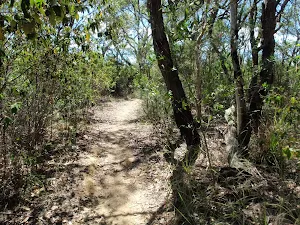
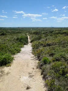
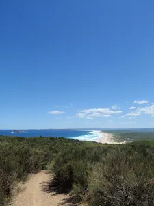
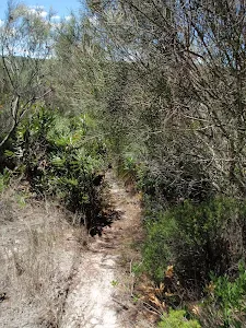
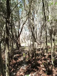
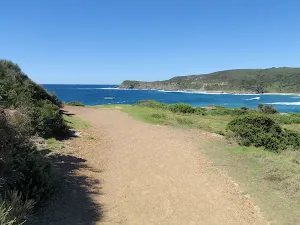
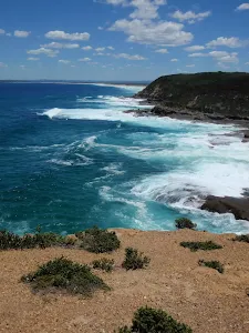
Continue straight: From the locked gate at the car park[22] (at the end of Wybung Head Rd), this walk heads downhill along the management trail. The trail soon passes a track (on the left, that leads to the whale watching area), and continues downhill along the wide trail to find the grand ocean views[23]. The trail then bends left and passes along the top of an unfenced cliff[24]. As the trail flattens out, it passes a grassy clearing and ends on the narrow saddle[25], with views up and down the coast.
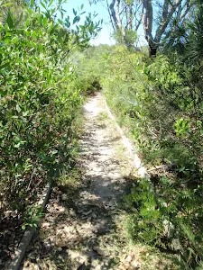
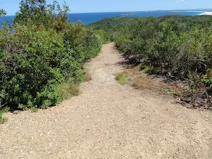
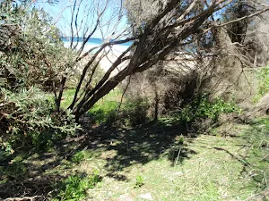
Continue straight: From the narrow saddle, this walk follows the narrower track towards the ocean along middle of the headland[26]. The track leads up a small rise and through some heath, to then suddenly open up at the top of an unfenced cliff and view across the ocean[27]. At the end of this side trip, retrace your steps back to the main walk then Turn right.
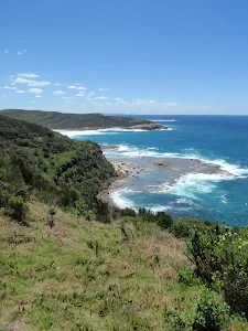
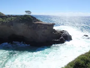
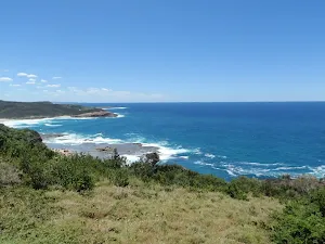
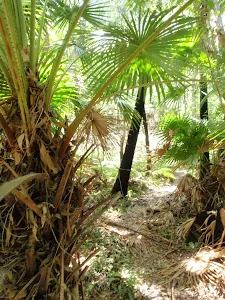
Wybung Head
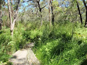
(2km) Upper end of Grass Tree Track → Bongon Lagoon
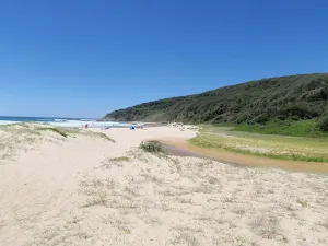
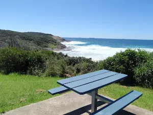
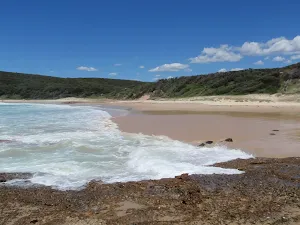
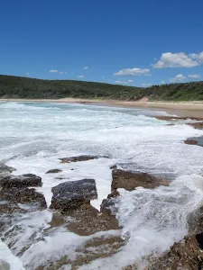
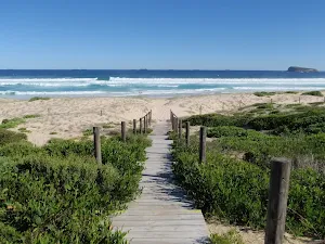
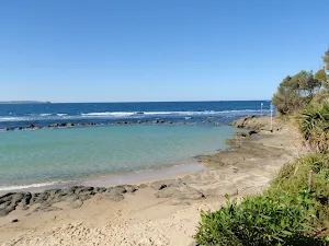
Frazer Beach
(3km) Bongon Lagoon → Frazer Beach Picnic Area
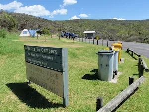
(3km) Frazer Beach Picnic Area → Frazer Beach Camping Ground
Frazer camping ground
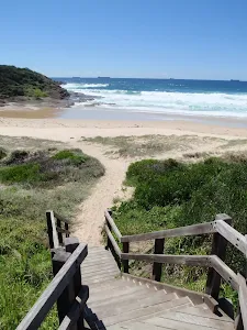
(3km) Frazer Beach Camping Ground → Northern end of Frazer Beach
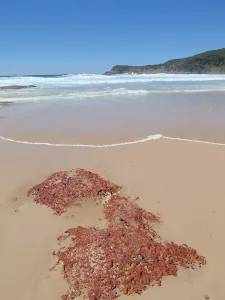
(4km) Northern end of Frazer Beach → Snapper Point Beach
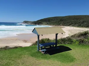
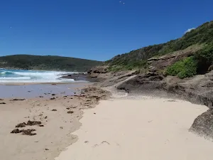
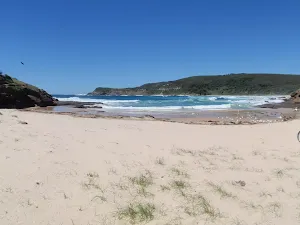
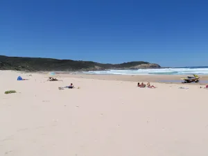
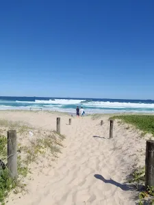
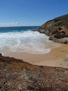
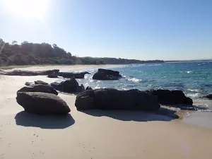
Snapper Point Beach
(4km) Snapper Point Beach → Snapper Point Beach Buoy
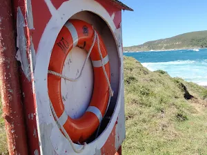
(4km) Snapper Point Beach Buoy → Life Buoy Sign
(4km) Life Buoy Sign → Snapper Point Memorial
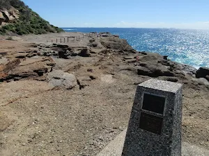
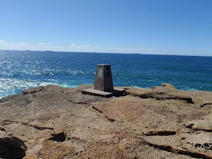
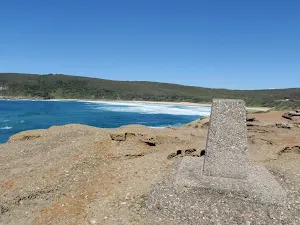
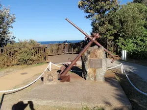
Snapper Point Memorial
(4km) Life Buoy Sign → Snapper Point car park
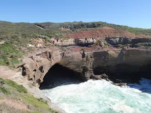
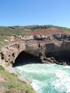
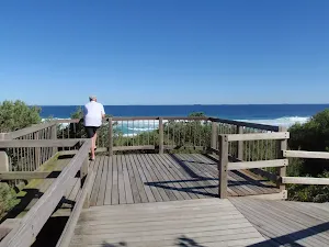
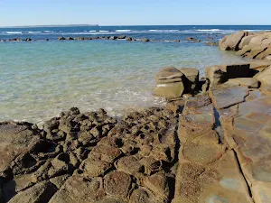
Snapper Point Cave Lookout
Maps for the Campbell Drive to Snapper Point walk
You can download the PDF for this walk to print a map.
These maps below cover the walk and the wider area around the walk, they are worth carrying for safety reasons.
| Catherine Hill Bay | 1:25 000 Map Series | 92314S CATHERINE HILL BAY | NSW-92314S |
| Lake Macquarie | 1:100 000 Map Series | 9231 LAKE MACQUARIE | 9231 |
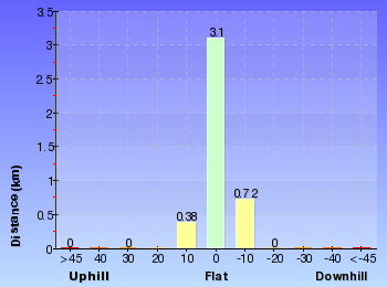
Cross sectional view of the Campbell Drive to Snapper Point bushwalking track
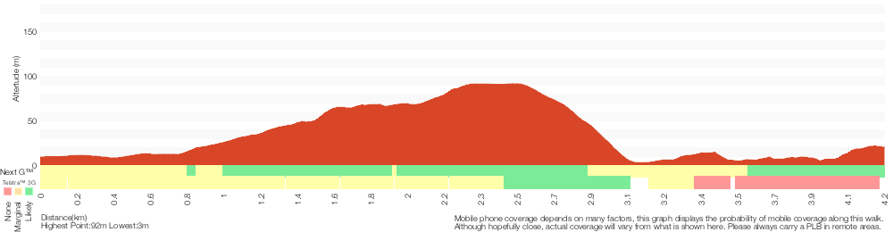
Analysis and summary of the altitude variation on the Campbell Drive to Snapper Point
Overview of this walks grade – based on the AS 2156.1 – 2001
Under this standard, a walk is graded based on the most difficult section of the walk.
| Length | 4.2 km | ||
| Time | 1 hr 45 mins | ||
| . | |||
Grade 5/6 Experienced only | AS 2156.1 | Gradient | Short steep hills (3/6) |
| Quality of track | Rough unclear track (5/6) | ||
| Signs | No directional signs (5/6) | ||
| Experience Required | High level of bushwalking experience recommended (5/6) | ||
| Weather | Forecast, unforecast storms and severe weather likely to have an impact on your navigation and safety (5/6) | ||
| Infrastructure | Limited facilities, not all cliffs are fenced (3/6) |
Some more details of this walks Grading
Here is a bit more details explaining grading looking at sections of the walk
Gradient
2.6km of this walk has gentle hills with occasional steps and another 1.3km has short steep hills. The remaining (340m) is flat with no steps.
Quality of track
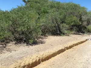
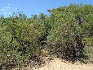
2.8km of this walk follows a clear and well formed track or trail and another 1.2km follows a rough unclear track. Whilst another 100m follows a formed track, with some branches and other obstacles and the remaining 55m follows a smooth and hardened path.
Signs
2.5km of this walk has directional signs at most intersection and another 1.2km Has no directional signs. The remaining (540m) is clearly signposted.
Experience Required
2.5km of this walk requires some bushwalking experience and another 740m requires a leader a with moderate level of bushwalking experience. Whilst another 540m requires no previous bushwalking experience and the remaining 480m requires a leader with a high level of bushwalking experience.
weather
2.6km of this walk is not usually affected by severe weather events (that would unexpectedly impact safety and navigation) and another 840m is affected by storms that may impact your navigation and safety. The remaining (480m) forecast, unforecast storms and severe weather likely to have an impact on your navigation and safety.
Infrastructure
Around 3.6km of this walk has limited facilities (such as not all cliffs fenced), whilst the remaining 640m is close to useful facilities (such as fenced cliffs and seats).
Similar walks
A list of walks that share part of the track with the Campbell Drive to Snapper Point walk.
Snapper Point
280 m Return, 10 mins
Moderate track
Snapper Point Beach
630 m Return, 15 mins
Experienced only
Wybung Head
804 m Return, 20 mins
Moderate track
Grass Tree Track
862 m One way, 30 mins
Experienced only
Geebung Track
2.4 km One way, 1 Hr
Moderate track
Munmorah Coast Track
3.3 km One way, 1 hr 30 mins

Experienced only
Campbell Dr to Birdie Beach View (Geebung Track)
3.3 km Return, 1 hr 15 mins
Moderate track
Other Nearby walks
A list of walks that start near the Campbell Drive to Snapper Point walk.
Freemans camping area to Birdie Beach
1.2 km Return, 25 mins
Easy track
Wybung Head whale viewing area
142 m Return, 5 mins
Easy track
Tea Tree Picnic Area to Birdie Beach
444 m Return, 10 mins
Easy track
Tea Tree Picnic Area to Bird Island Lookout
136 m Return, 3 mins
Very easy
Palm Tree Circuit Track
609 m Circuit, 20 mins
Moderate track
Timber Beach
768 m Return, 20 mins
Hard track
Norah Head Rockpool
150 m Return, 15 mins
Easy track
Rockpool to Norah Head Lighthouse
2.6 km Return, 1 Hr
Hard track
Norah Head Lighthouse and Rockshelf walk
1.6 km Return, 45 mins
Hard track
Norah Head Lighthouse walk
762 m Return, 30 mins
Very easy
Norah Head Lighthouse Loop
2.5 km Circuit, 1 Hr
Hard track
Norah Head Nature Trail
2.2 km Return, 1 Hr

Moderate track
Plan your trip to and from the walk here
The Campbell Drive to Snapper Point walk starts at the Int of Geebung Track and Campbell Dr (gps: -33.195424, 151.60157)
The Campbell Drive to Snapper Point ends at the Snapper Point car park (gps: -33.186240, 151.62793)
Weather Forecast
This walk starts in the Hunter weather district.
Current Alerts
Park Information
Munmorah State Conservation Area
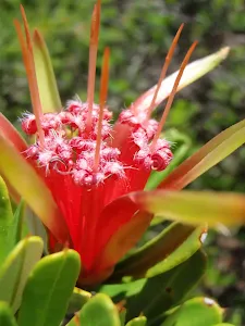
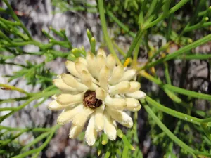
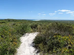
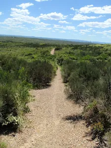
Munmorah State Conservation Area is a coastal park south of Catherine Hill Bay at the northern end of the NSW Central Coast. The park is blessed with some wonderful beaches popular with swimmers and surfers. You can stay overnight in either of the two well established campsites, both a short walk from the beach. The park puts on a wonderful wildflower in spring and summer each year. The park entrance gates are locked overnight and are open 5:30am to 9:00p.m during daylight savings period, 6:00am to 6:00pm outside of daylight savings time.
Comments
Short URL: http://wild.tl/cdtsp