Rouse Hill Path circuit
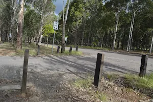


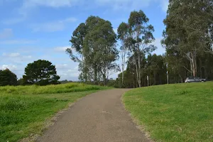
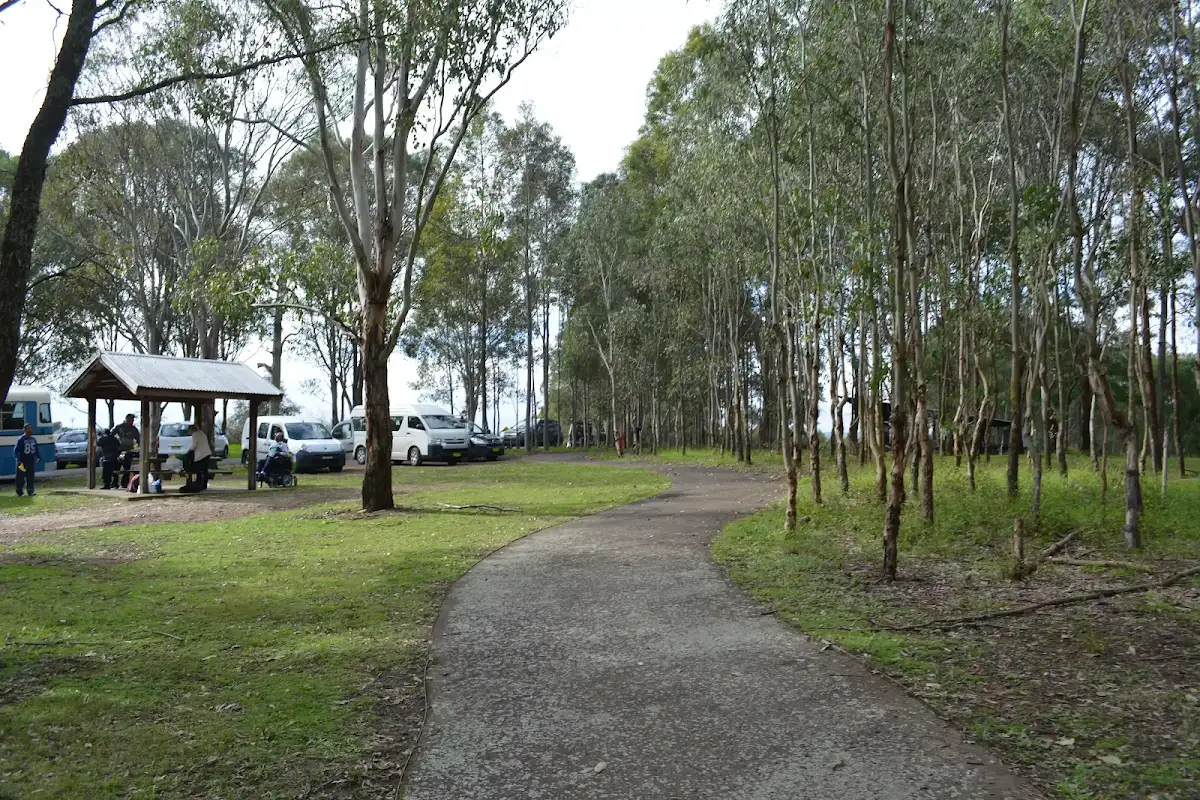
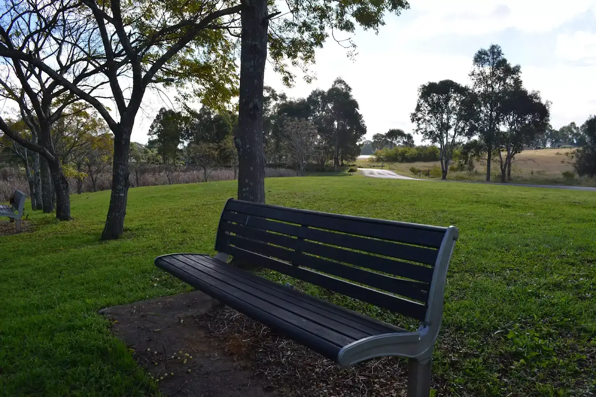
Rouse Hill main car park
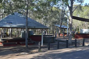
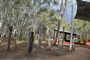
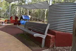
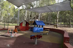
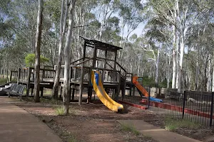
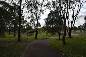
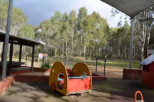
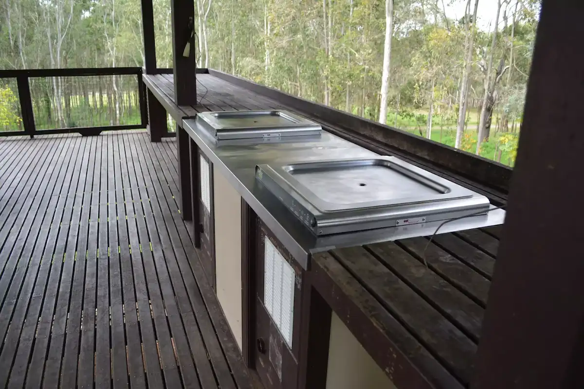
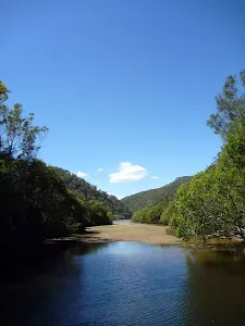
Rouse Hill main Picnic area and playground


(0km) Rouse Hill main car park → Playground intersection
(0km) Playground intersection → Pavilion Intersection


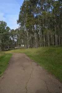
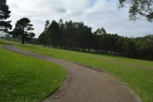
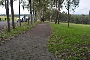
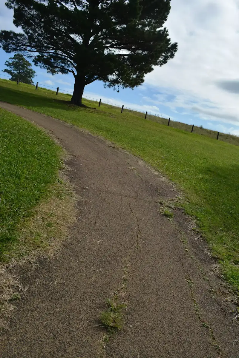
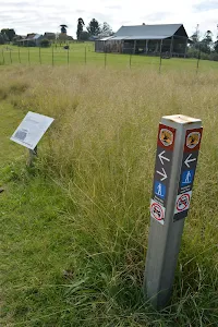
Turn left: From the intersection, this walk heads gently uphill[21] along the asphalt footpath, keeping the road a short distance to the right for about 30m to come to a paved intersection[22].
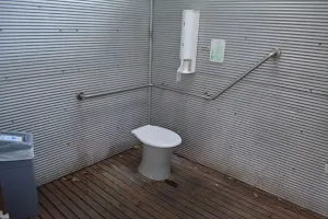
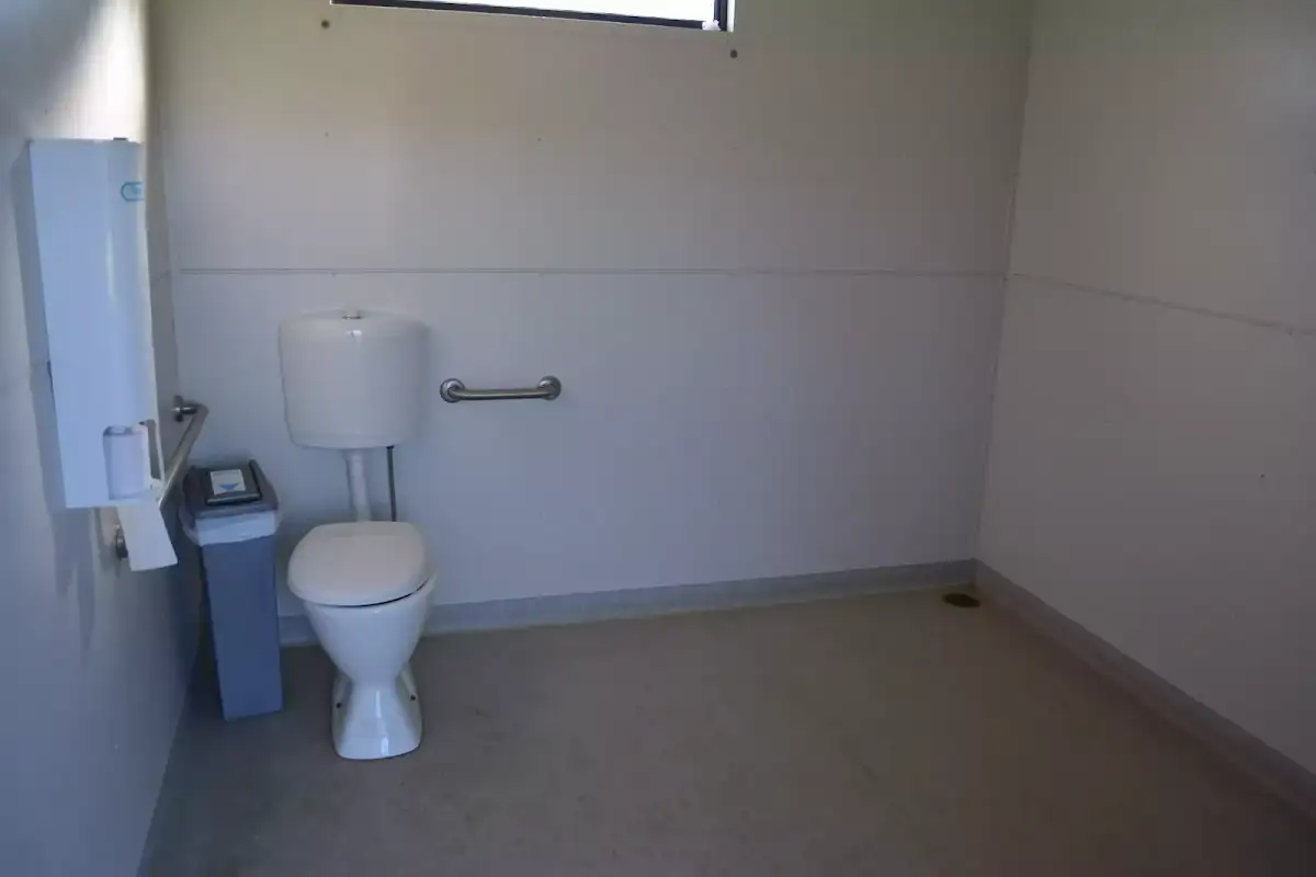
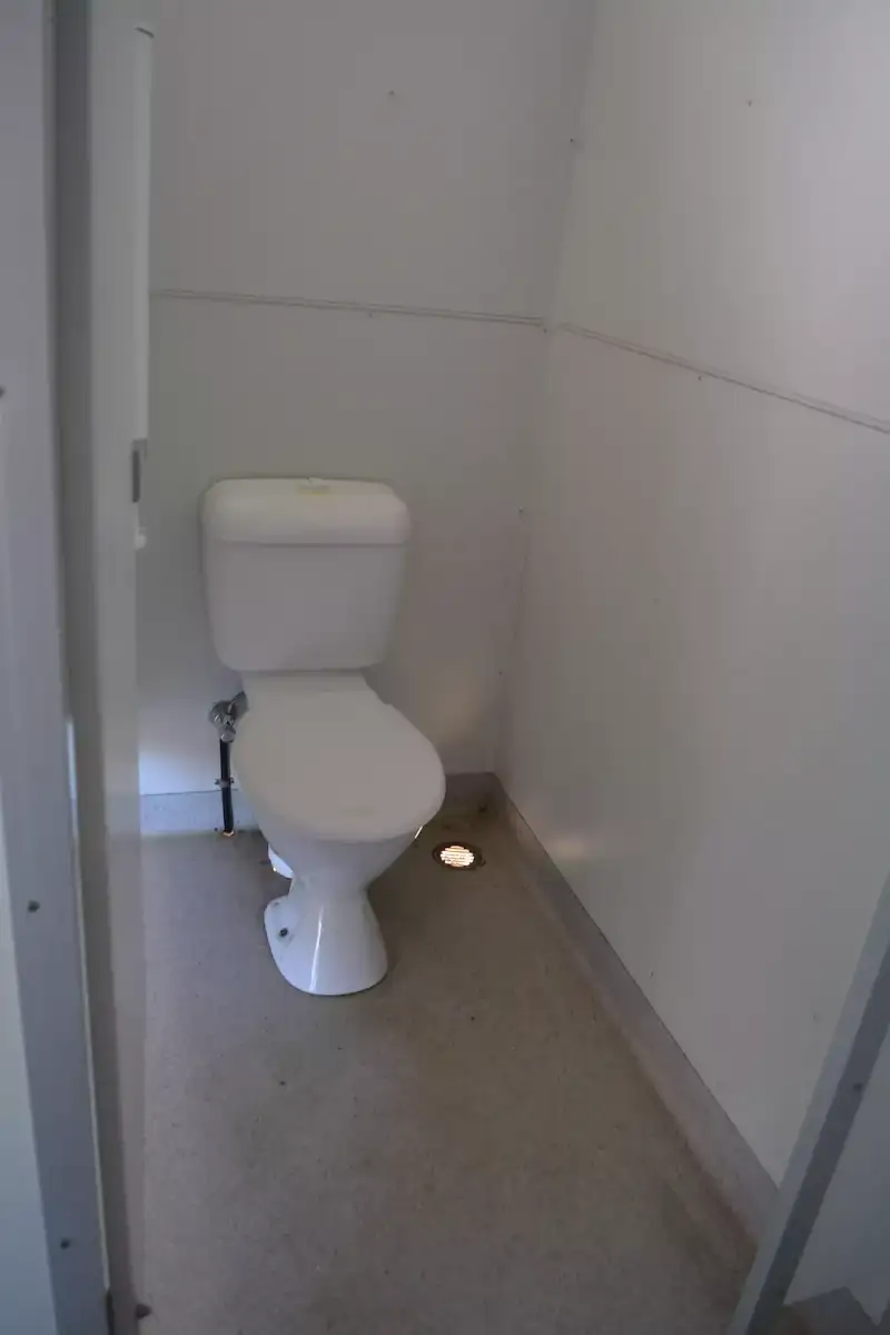
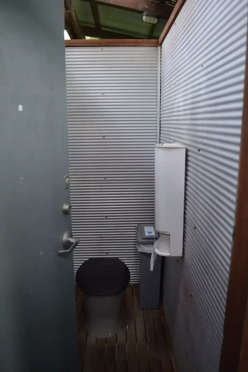
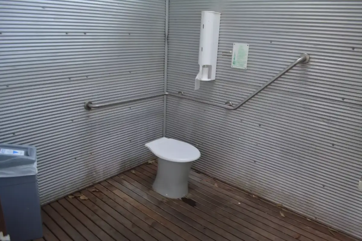
(1km) Pavilion Intersection → Pavilion toilet


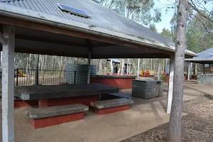
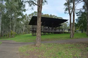
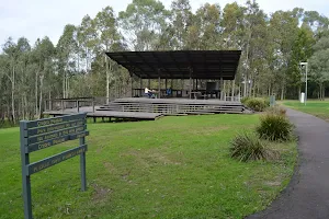
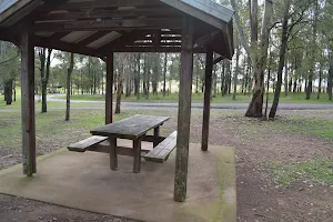
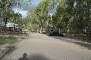
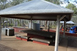
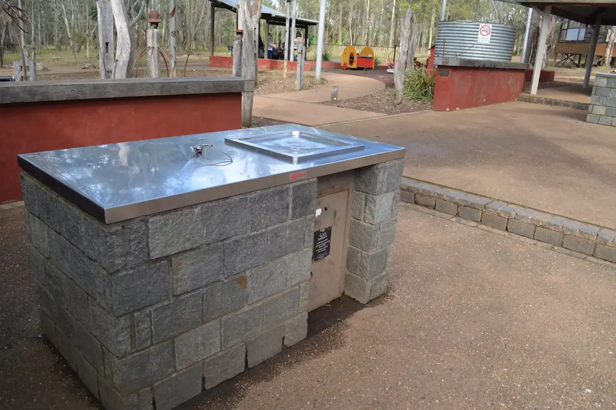
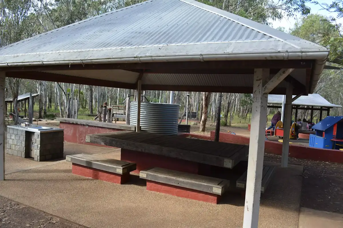
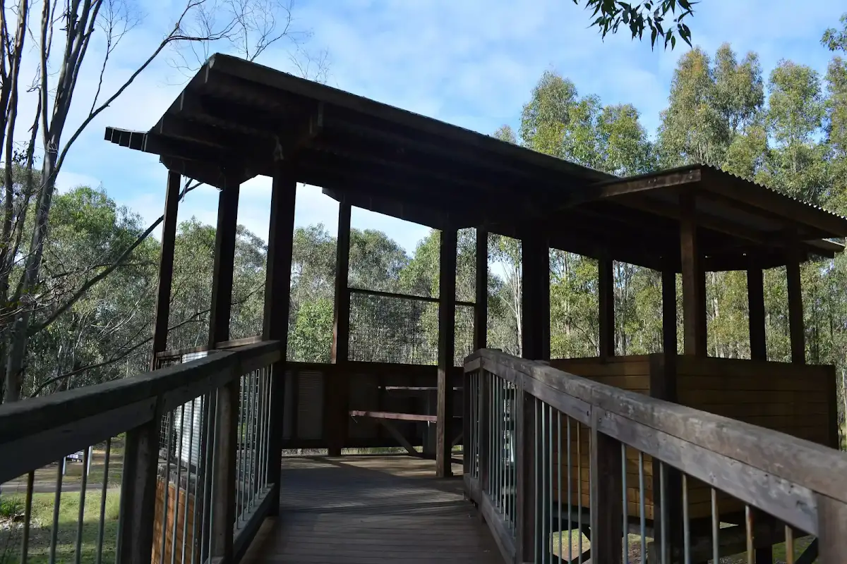
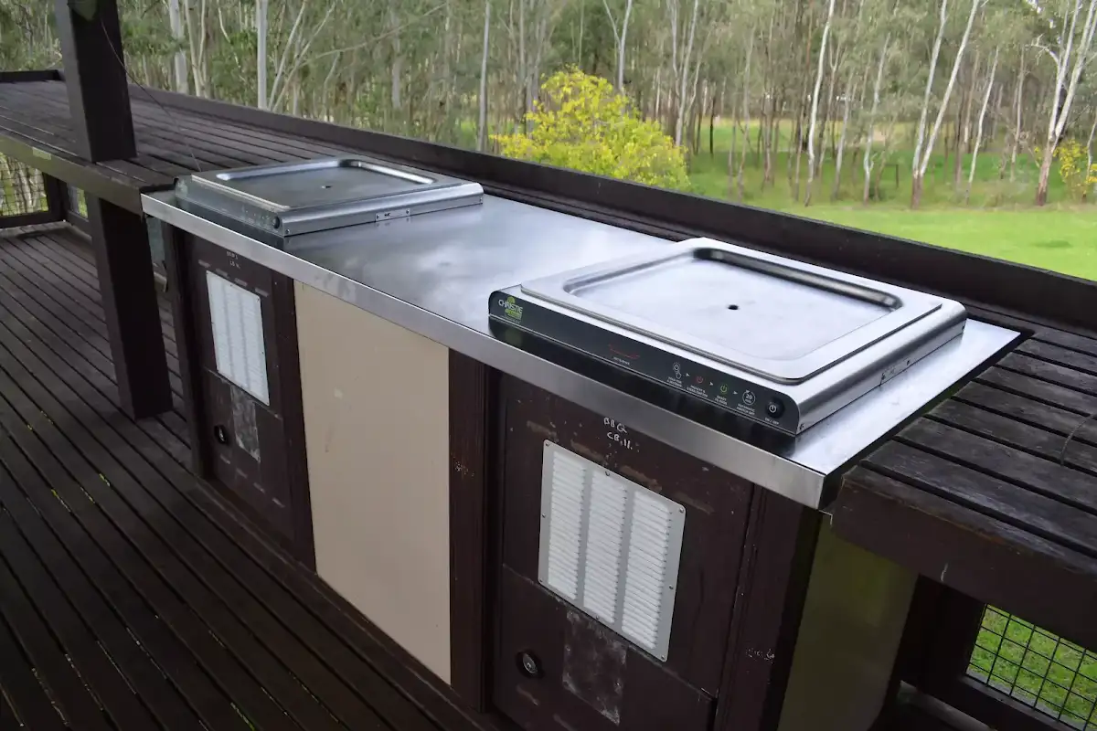
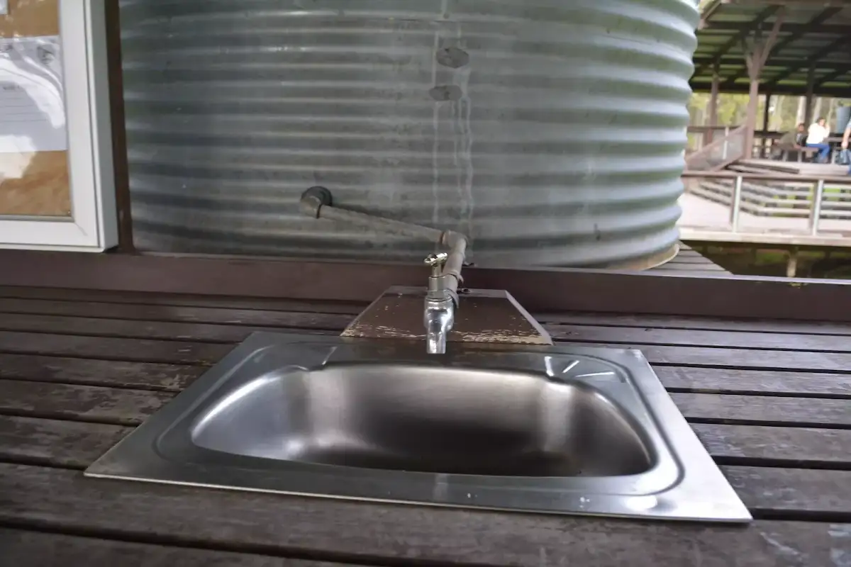
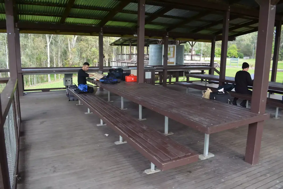
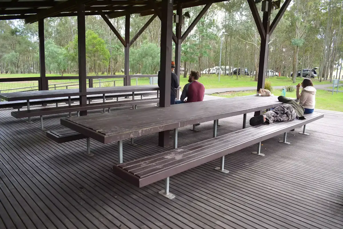
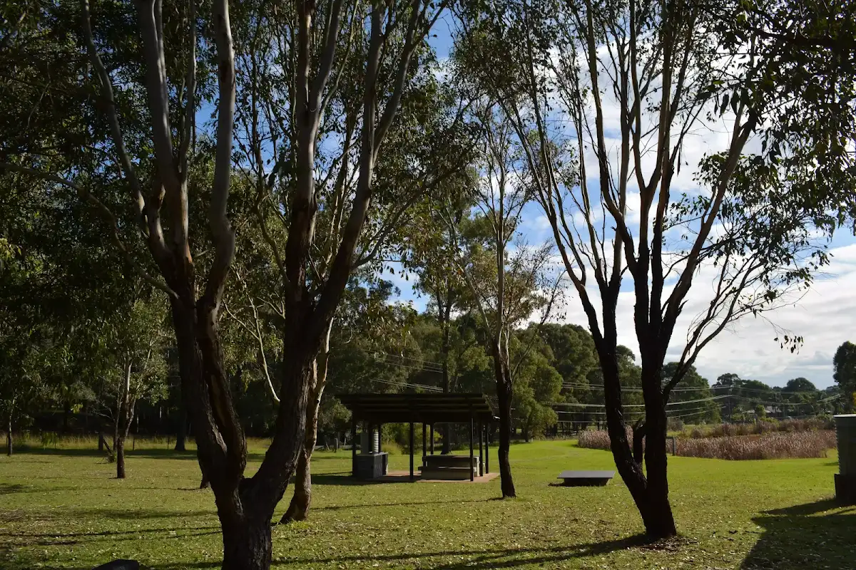
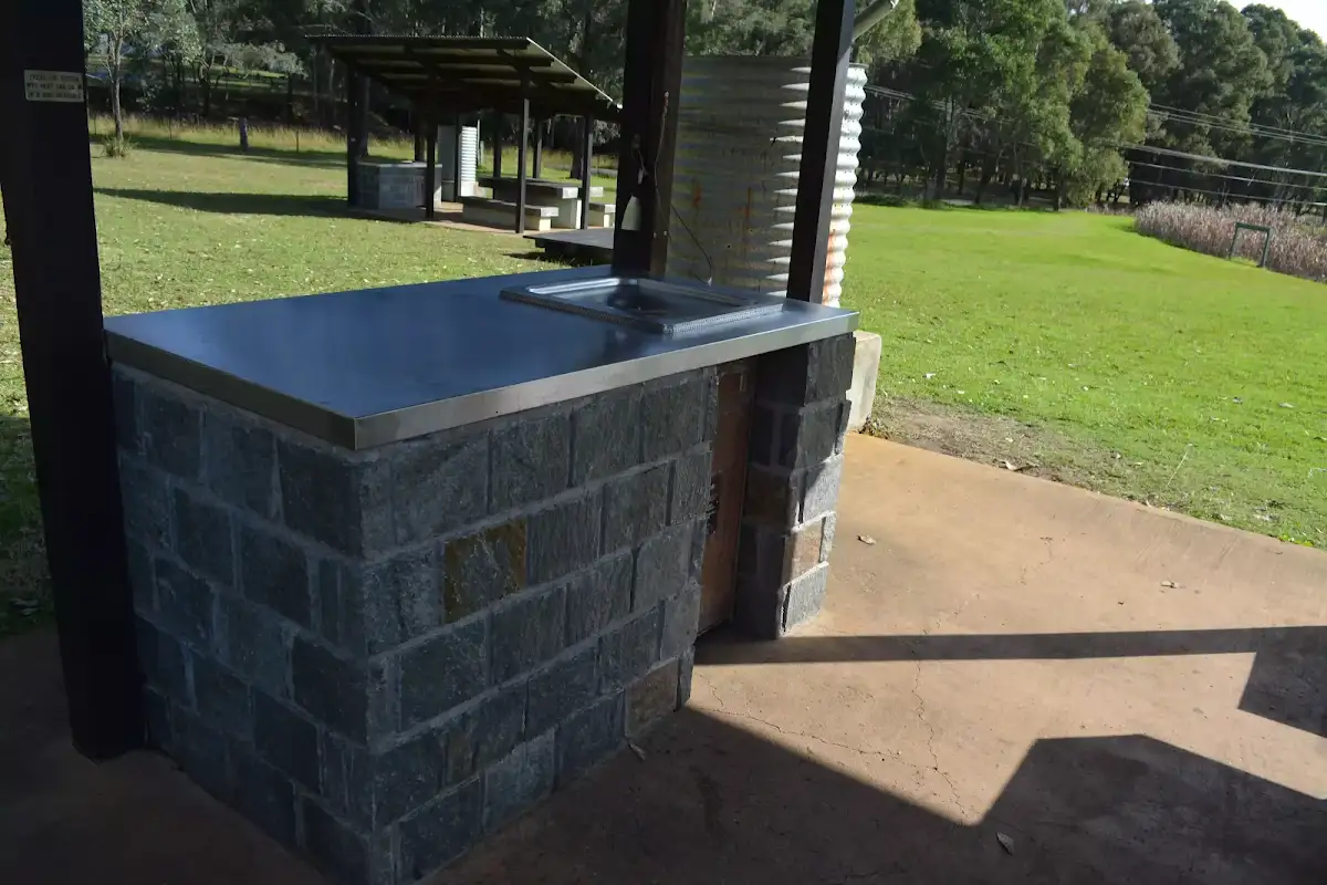
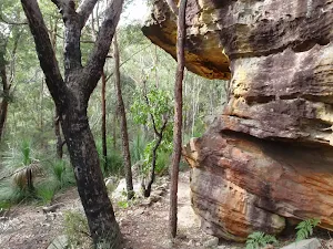
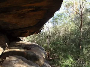
Crebra & Fibrosa Pavilions
(1km) Pavilion Intersection → Western Picnic area int.


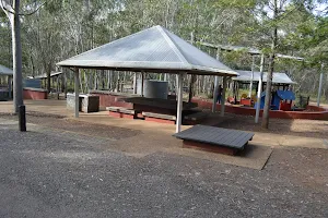
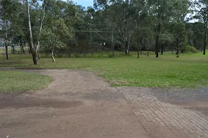
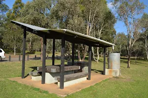
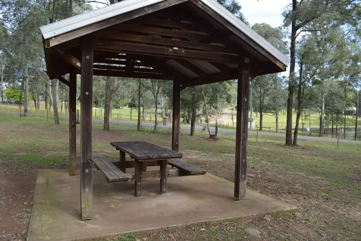
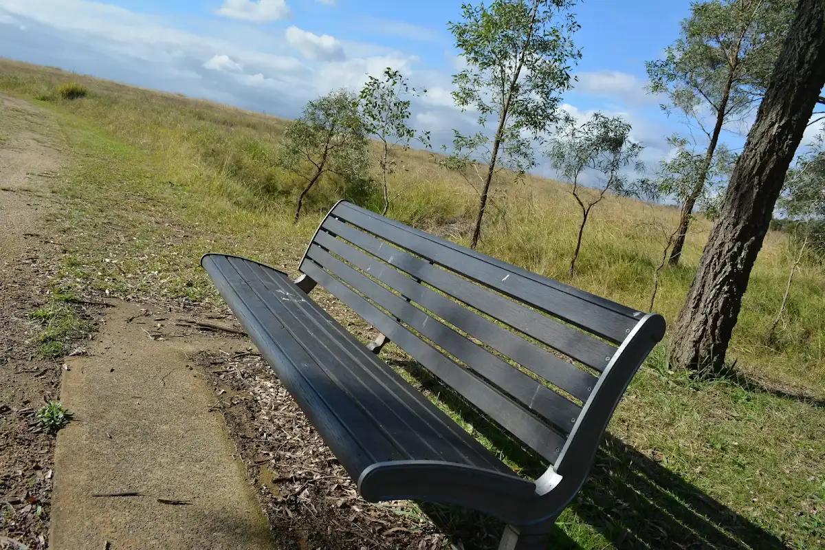
Western Picnic area
(1km) Western picnic area int. → Tree hollow intersection

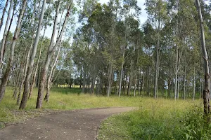
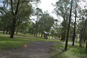
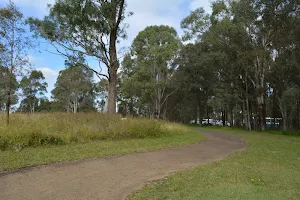
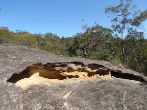
Continue straight: From the intersection, this walk heads uphill along the asphalt footpath as it winds through the open grassy area for 120m to pass a large dead tree[41] and comes to an intersection with a grassy trail[42] (on the left just as the path bends right near the road).
(1km) Tree hollow intersection → Rouse Hill main car park
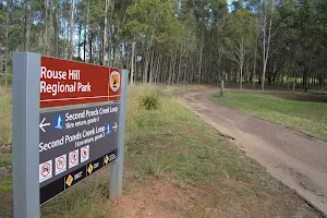
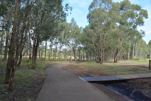
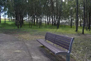
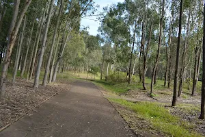
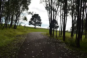
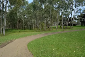
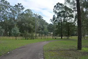
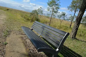
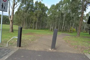
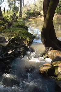
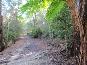
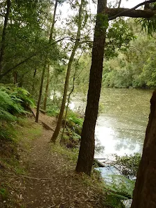
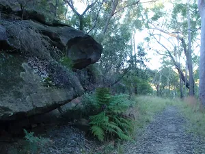
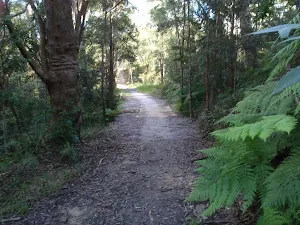
Continue straight: From the intersection, this walk follows the asphalt footpath downhill through the grassy clearing, away from the road and initially keeping the sheltered picnic areaon the right. The path meanders mostly downhill and after 80m the path steepensfor a time then leads less steeply down for another 50m into a eucalypt forest. The walk then continues downhill along the path for 300m among the trees, ignoring the side paths to come to a 3-way intersection (with a short timber bridge[47] on the left, that leads to a series of seats). The walk continues straight for about 15m to pass the orange metal bollard[48] (1.1m wide gap), then about 30m later this walk veers right at a 3-way intersection[49]. The walk continues down along the path past the elevated picnic shelterfor 55m to come to an intersection[50], just before the playground, marked with a large 'Rouse Hill Regional Park' sign[51] (on the right).
Turn left : From the intersection, this walk heads directly away from the face of 'Rouse Hill Regional Park' sign[52] along the gravel track, keeping the playground on the right. After about 15m this walk comes to a 'Welcome to Rouse Hill Regional Park' sign[53]. From here this walk follows the concrete path for 15m, past the sheltered picnic areato come to the main Rouse Hill Regional Park car park[54].
Maps for the Rouse Hill Path circuit walk
You can download the PDF for this walk to print a map.
These maps below cover the walk and the wider area around the walk, they are worth carrying for safety reasons.
| Riverstone | 1:25 000 Map Series | 90301S RIVERSTONE | NSW-90301S |
| Penrith | 1:100 000 Map Series | 9030 PENRITH | 9030 |
Cross sectional view of the Rouse Hill Path circuit bushwalking track
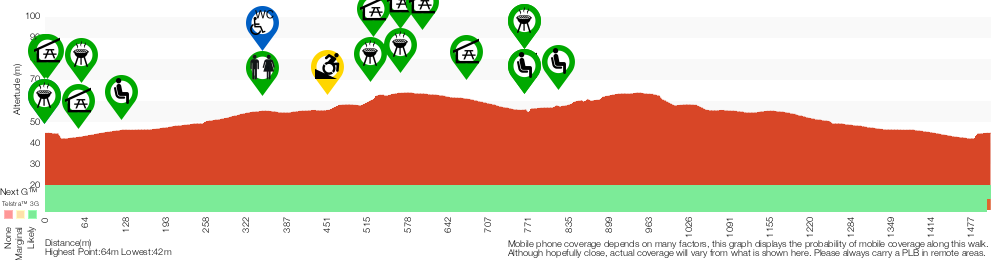
Analysis and summary of the altitude variation on the Rouse Hill Path circuit
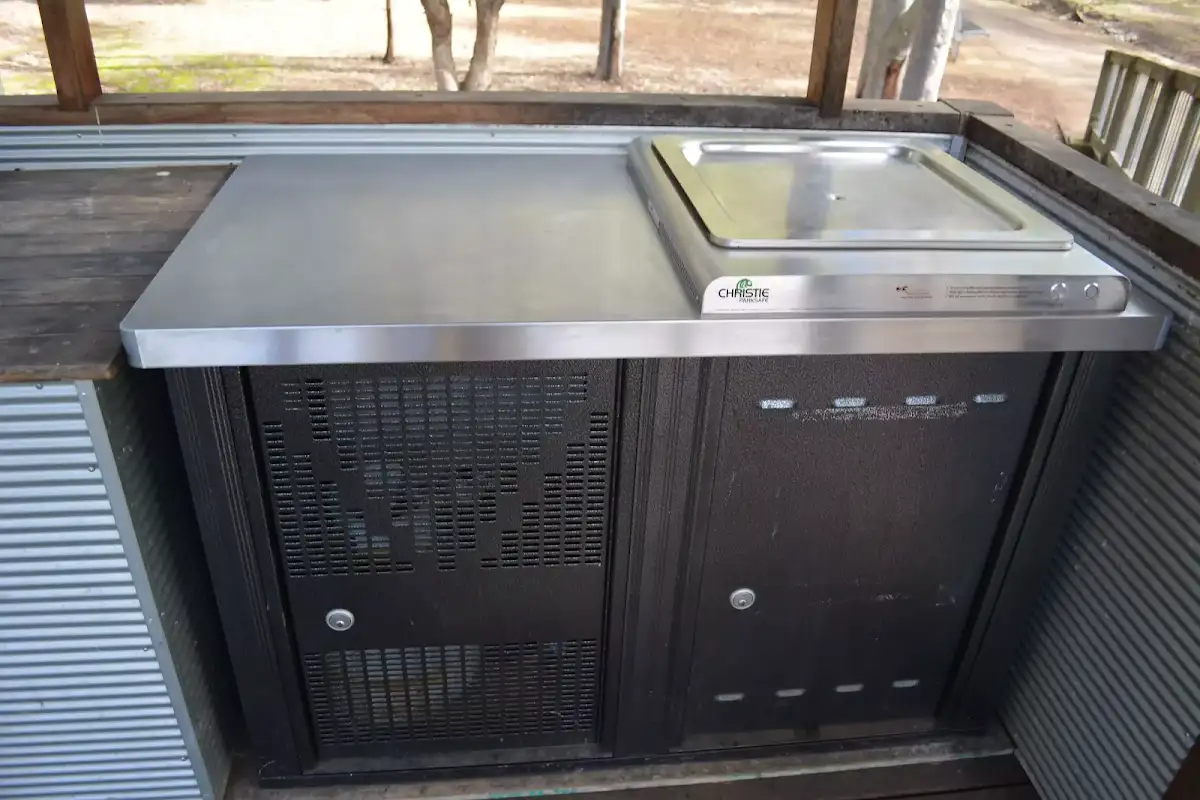
Accessibility Profile
This page is designed to give you a sense of the facilities that help improve access for people with disabilities or mobility restrictions. See tracknotes and map for navigation, point of interest and other information. See the Accessibility Details below for specific information about each facility.
Accessibility Details


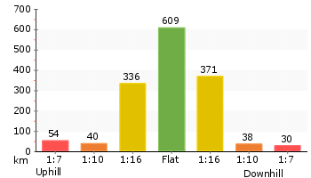
Overview of this walks grade – based on the AS 2156.1 – 2001
Under this standard, a walk is graded based on the most difficult section of the walk.
| Length | 1.5 km | ||
| Time | 45 mins | ||
| . | |||
Grade 3/6 Moderate track | AS 2156.1 | Gradient | Gentle hills with occasional steps (2/6) |
| Quality of track | Smooth and hardened path (1/6) | ||
| Signs | Directional signs along the way (3/6) | ||
| Experience Required | No experience required (1/6) | ||
| Weather | Weather generally has little impact on safety (1/6) | ||
| Infrastructure | Generally useful facilities (such as fenced cliffs and seats) (1/6) |
Some more details of this walks Grading
Here is a bit more details explaining grading looking at sections of the walk
Gradient
Around 1.4km of this walk has gentle hills with occasional steps, whilst the remaining 130m is flat with no steps.
Quality of track
This whole walk, 1.5km follows a smooth and hardened path.
Signs
Around 1km of this walk has directional signs at most intersection, whilst the remaining 510m is clearly signposted.
Experience Required
This whole walk, 1.5km requires no previous bushwalking experience.
weather
This whole walk, 1.5km is not usually affected by severe weather events (that would unexpectedly impact safety and navigation).
Infrastructure
This whole walk, 1.5km is close to useful facilities (such as fenced cliffs and seats).
Similar walks
A list of walks that share part of the track with the Rouse Hill Path circuit walk.
Second Ponds Creek walk
865 m Circuit, 20 mins
Moderate track
Rouse Hill Estate walk
1.8 km Return, 45 mins
Easy track
Other Nearby walks
A list of walks that start near the Rouse Hill Path circuit walk.
Clarinda St dog walking trail
499 m One way, 15 mins
Easy track
Galston Gorge to Berowra Station
12.9 km One way, 5 hrs 30 mins
Hard track
Galston Gorge to Mt Kuring-gai
12.6 km One way, 5 hrs 30 mins
Hard track
Refuge Rock and Natural Arch
1.4 km Return, 30 mins
Moderate track
Daphne Place dog walking trail
515 m One way, 15 mins
Moderate track
Blackwattle Trail
2.2 km One way, 1 Hr
Moderate track
Callicoma Loop
5.1 km Circuit, 2 hrs
Hard track
Cherrybrook to Hornsby via Fishponds
9 km One way, 3 hrs 45 mins
Hard track
Cherrybrook to Refuge Rock
4.1 km One way, 1 hr 45 mins
Moderate track
Cherrybrook to Thornleigh
4.4 km One way, 1 hr 45 mins
Moderate track
The Lakes of Cherrybrook loop
439 m Circuit, 15 mins

Moderate track
Blue Gum Walk (Joe's Mountain Circuit)
4.2 km Circuit, 2 hrs
Hard track
Plan your trip to and from the walk here
The Rouse Hill Path circuit walk starts and ends at the Rouse Hill main car park (gps: -33.680471, 150.91068)
Weather Forecast
This walk starts in the Metropolitan weather district.
A detailed forecast for this walk isn't available yet.
Current Alerts
Live alerts aren't available for this walk. Check the NPWS website for closures and the RFS for current fire danger.
Park Information
Rouse Hill Regional Park
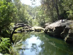
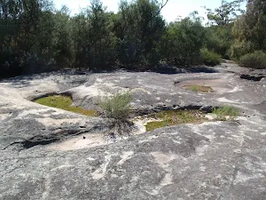
Rouse Hill Regional Park is in Sydney's hills district and is a great place for the whole family - you can even bring your dog. The kids will love the adventure playground and space to run around. There are walks to explore in open grassland or winding among a lovely forest. You explore the area by on foot, bike, scooter or wheelchair. The park is locked at night and open 8am to 8pm during daylight savings (8am to 5pm at other times). There are picnic areas, seats and toilets in different parts of the park. The traditional custodians of this land are the Deerubbin People, the area was farmed by the Rouse family and now manged by NSW National Parks and Wildlife service.
Comments
Short URL: http://wild.tl/rhpc