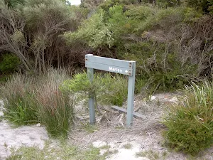
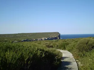
Bundeena Road to Marley
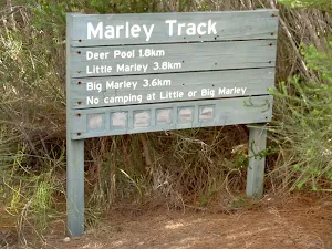


(0km) Int. Marley Trk and Bundeena Drive → Deer Pools Clearing
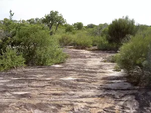
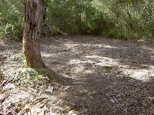
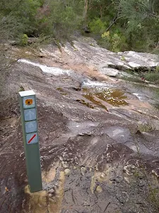
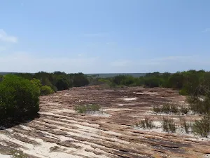
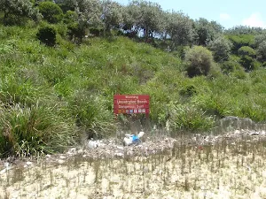
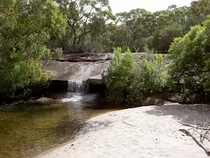
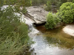
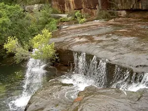
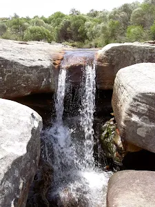
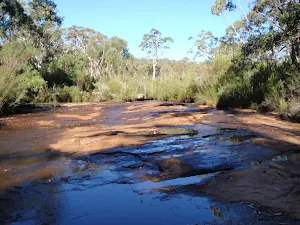
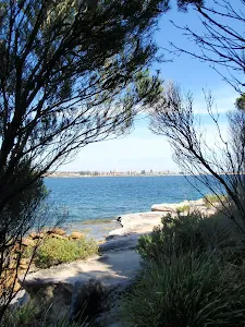
Deer Pool
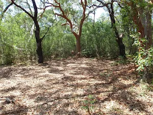
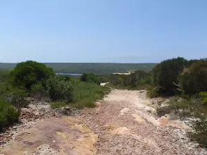
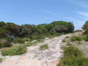
(2km) Deer Pools Clearing → Int. Mowlee Ridge Trail and Marley Trk
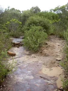
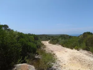
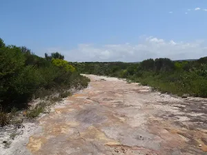
(2km) Int. Mowlee Ridge Trail and Marley Trk → North end of Chimney Trk
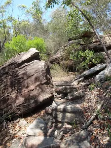
(3km) North end of Chimney Trk → Int. Coastal Trk and Chimney Trk
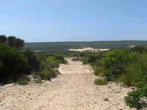
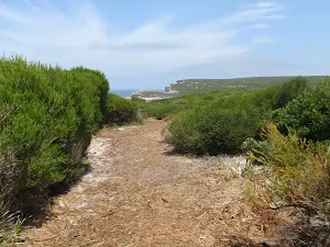
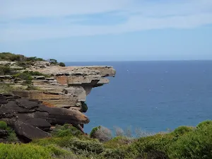
(4km) Int. Coastal Trk and Chimney Trk → Little Marley Beach
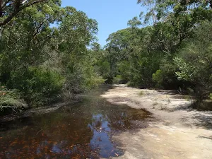
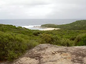
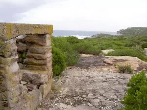
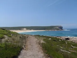
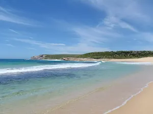
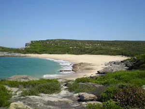
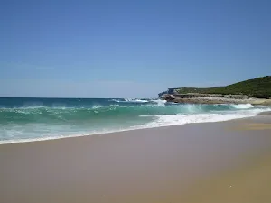
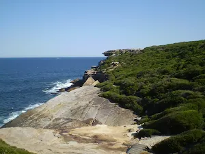
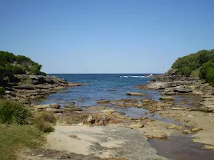
Little Marley Beach
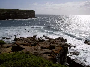
(4km) Int. Coastal Trk and Chimney Trk → West Marley Beach
(4km) West Marley Beach → East Marely Beach
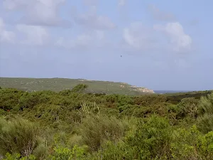
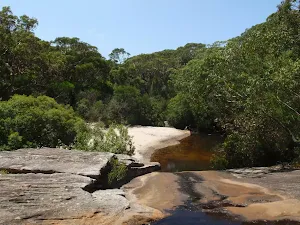
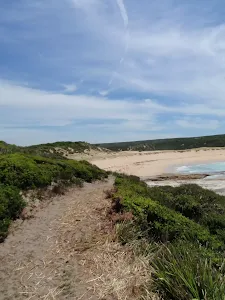
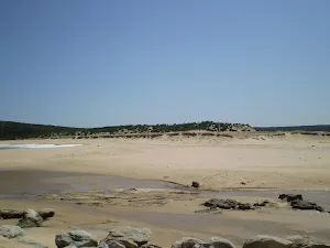
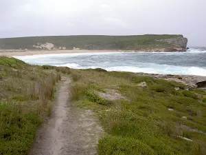
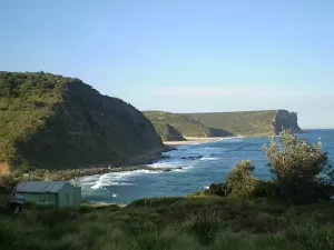
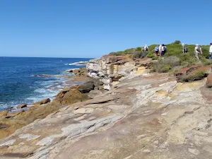
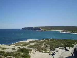
Big Marley Beach
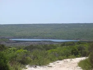
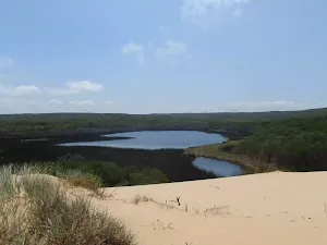
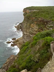
(4km) East Marley Beach → Marley Lagoon Lookout
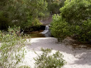
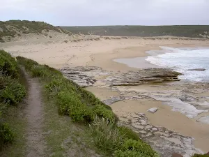
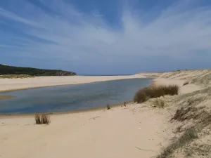
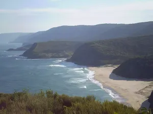
Marley Lagoon Lookout
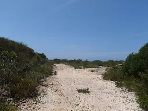
(5km) Marley Lagoon Lookout → West Marley Beach
Maps for the Bundeena Road to Marley walk
You can download the PDF for this walk to print a map.
These maps below cover the walk and the wider area around the walk, they are worth carrying for safety reasons.
| Port Hacking | 1:25 000 Map Series | 91294N PORT HACKING | NSW-91294N |
| Port Hacking | 1:100 000 Map Series | 9129 PORT HACKING | 9129 |
Cross sectional view of the Bundeena Road to Marley bushwalking track
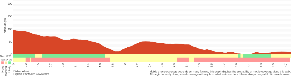
Analysis and summary of the altitude variation on the Bundeena Road to Marley
Overview of this walks grade – based on the AS 2156.1 – 2001
Under this standard, a walk is graded based on the most difficult section of the walk.
| Length | 9.7 km | ||
| Time | 3 hrs 30 mins | ||
| . | |||
Grade 4/6 Hard track | AS 2156.1 | Gradient | Short steep hills (3/6) |
| Quality of track | Rough track, where fallen trees and other obstacles are likely (4/6) | ||
| Signs | Minimal directional signs (4/6) | ||
| Experience Required | Moderate level of bushwalking experience recommended (4/6) | ||
| Weather | Storms may impact on navigation and safety (3/6) | ||
| Infrastructure | Limited facilities (such as cliffs not fenced, significant creeks not bridged) (4/6) |
Some more details of this walks Grading
Here is a bit more details explaining grading looking at sections of the walk
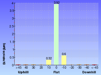
Gradient
2.4km of this walk has short steep hills and another 1.8km has gentle hills with occasional steps. The remaining (640m) is flat with no steps.
Quality of track
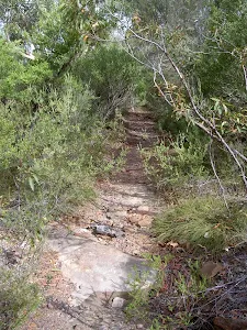
2.6km of this walk follows a formed track, with some branches and other obstacles and another 1.7km follows a clear and well formed track or trail. The remaining (620m) follows a rough track, where fallen trees and other obstacles are likely.
Signs
Around 2.4km of this walk has minimal directional signs, whilst the remaining 2.4km has directional signs at most intersection.
Experience Required
3km of this walk requires no previous bushwalking experience and another 1.2km requires some bushwalking experience. The remaining (620m) requires a leader a with moderate level of bushwalking experience.
weather
Around 3km of this walk is not usually affected by severe weather events (that would unexpectedly impact safety and navigation), whilst the remaining 1.9km is affected by storms that may impact your navigation and safety.
Infrastructure
Around 2.4km of this walk has limited facilities (such as cliffs not fenced, significant creeks not bridged), whilst the remaining 2.4km has limited facilities (such as not all cliffs fenced).
Similar walks
A list of walks that share part of the track with the Bundeena Road to Marley walk.
Deer Pools
3.8 km Return, 1 hr 30 mins
Hard track
Wattamolla to Big Marley Beach
10.4 km Circuit, 4 hrs
Moderate track
Marley Track
11 km Circuit, 4 hrs 30 mins
Hard track
Bundeena to Marley Beach
12.7 km Return, 4 hrs 30 mins
Moderate track
Bundeena to Little Marley Beach
14 km Return, 5 hrs
Moderate track
The Coast Track (Otford to Bundeena)
27.4 km One way, 2 Days
Hard track
The Coast Track
27.4 km One way, 2 Days
Hard track
Other Nearby walks
A list of walks that start near the Bundeena Road to Marley walk.
Mt Bass- Winifred Falls
6.7 km Return, 2 hrs 30 mins
Hard track
Mowlee Ridge to Garie Beach
13.3 km One way, 5 hrs
Hard track
Wattamolla to Eagle Rock Lookout
7.4 km Return, 3 hrs
Moderate track
Providential Point
1.6 km Return, 45 mins
Easy track
Wattamolla to Garie Beach
7.6 km One way, 3 hrs 30 mins
Hard track
Wattamolla picnic area to Wattamolla Dam
1.7 km Return, 45 mins
Moderate track
Wattamola picnic area to Curracurrang Cove
3.1 km Return, 1 hr 15 mins
Moderate track
Flat Rock Creek
294 m Return, 15 mins
Moderate track
Bundeena to Jibbon Head Circuit
6.8 km Circuit, 2 hrs 30 mins
Moderate track
Jibbon Loop Track
5.1 km Circuit, 1 hr 45 mins
Moderate track
Bundeena to Marley Head
10.8 km Circuit, 3 hrs 20 mins
Moderate track
Winifred Falls
4.4 km One way, 2 hrs
Hard track
Plan your trip to and from the walk here
The Bundeena Road to Marley walk starts and ends at the Int. Marley Trk and Bundeena Drive (gps: -34.103046, 151.11575)
Weather Forecast
This walk starts in the Metropolitan weather district.
Current Alerts
Park Information
Royal National Park
Comments
Short URL: http://wild.tl/brtm