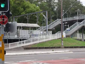
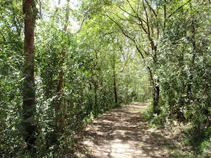
Gosford to Lisarow
(0km) Gosford Station → Rumbalara Environmental Education Centre trackhead
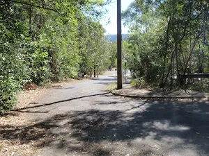
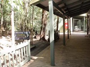
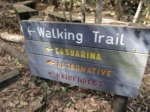
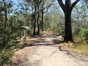
Turn right: From the car park, this walk follows the 'Rumbalara Environmental Education Centre' arrow along the paved foopath to the trackhead at the back of the buildings, signposted 'Walking Trail'.
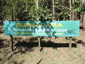
Rumbalara Environmental Education Centre
(1km) Rumbalara Environmental Education Centre trackhead → Int of Casuarina track and JWD link trail
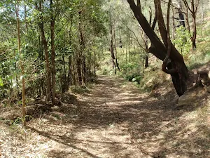
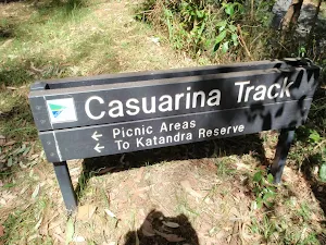
Turn right: From the intersection, this walk follows the management trail gently up the hill, leaving the bush track steps behind to the right. The trail goes gently up the hill for a short distance to an intersection at the bottom of a metal staircase, signposted 'Casuarina Track'.
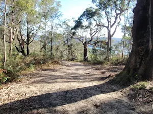
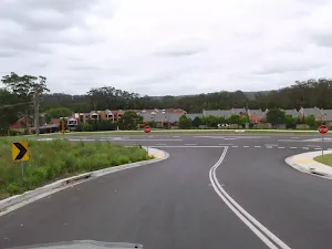
(1km) Int of Casuarina track and JWD link trail → Ouraka Point
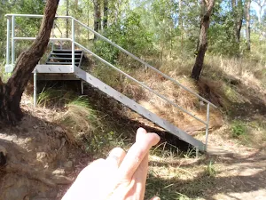
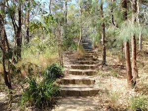
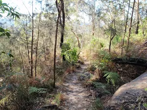
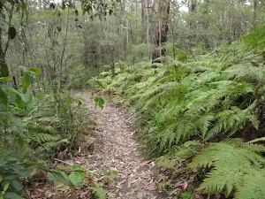
Turn left: From the intersection, this walk follows the 'Picnic Areas' arrow along the management trail, going gently up the hill. After a short distance, the walk arrives at an intersection with steps and a metal staircase to the left.
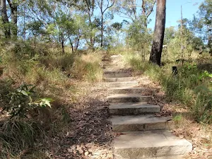
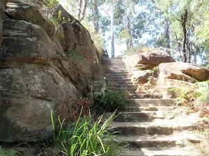
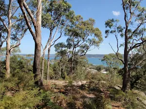
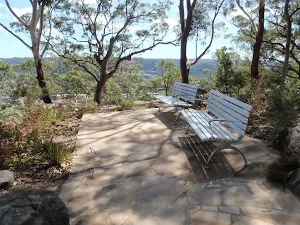
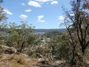
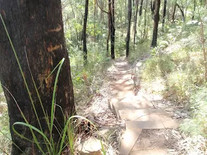
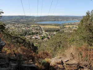
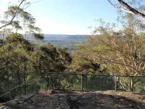
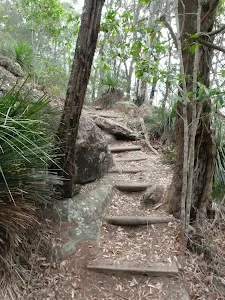
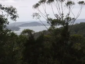
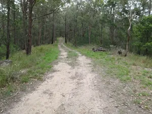
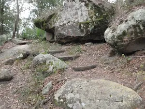
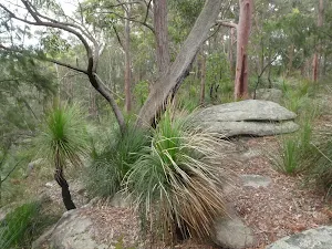
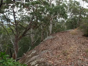
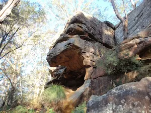
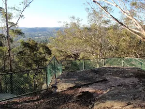
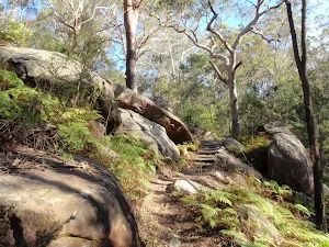
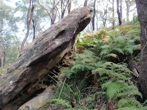
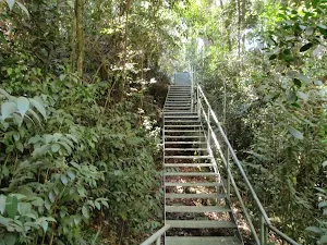
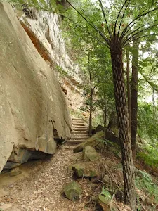
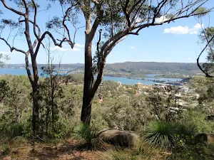
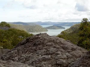
Continue straight: From the intersection, this walk goes up the sandstone steps, then the metal staircase. The walk then crosses the end of the management trail and continues up the long flight of sandstone steps. After a short distance, the walk passes some large boulders (to the left) and soon arrives at the signposted 'Ouraka Point', with beautiful views over Gosford and the surrounding areas and waterways.
Ouraka Point
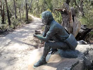
(1km) Ouraka Point → Sculpture of Charles Sturt
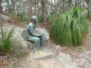
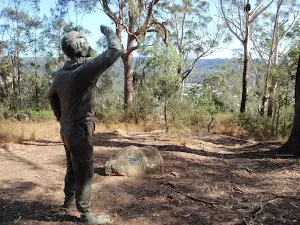
Continue straight: From the intersection, this walk follows the 'Picnic Areas' arrow along the management trail, keeping the views of Gosford to the left. After a short distance, the walk arrives at a sculpture of Charles Sturt, to the right.
Casuarina
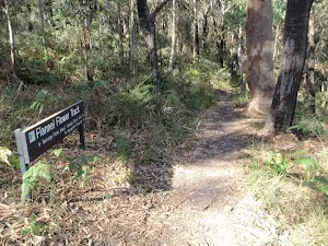
(2km) Sculpture of Charles Sturt → Flannel Flower walk signpost
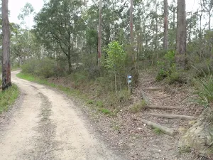
Veer right: From the intersection, this walk follows the management trail up the hill leaving the paved 'Casuarina Track' behind on the left. After a very short distance, the walk arrives at an intersection with a bush track, signposted 'Flannel Flower Track'.
(2km) Flannel Flower walk signpost → Yaruga Picnic Area BBQs
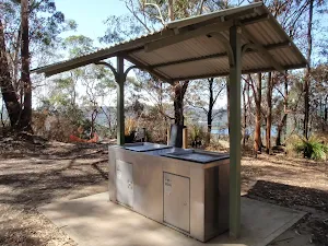
Yaruga Picnic Area
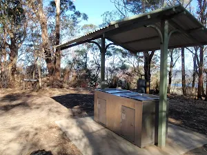
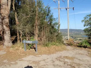
(3km) Yaruga Picnic Area BBQs → Yaruga Lookout
(3km) Yaruga Picnic Area BBQs → Western int of Red Gum walk and Dolly Ave
(3km) Western int of Red Gum walk and Dolly Ave → Wannagan Lookout
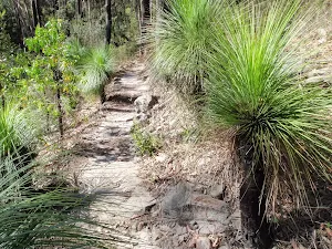
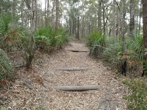
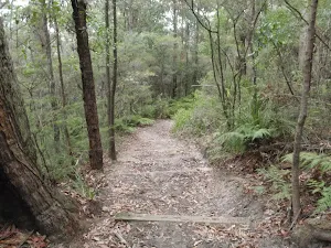
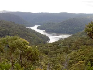
Continue straight: From the intersection, this walk follows the track down the steps, leaving the nearby water reservoir to the right. The track soon bends to the left at a rock outcrop, and winds down the hill for a while with plenty of steps. The walk levels out and meanders for a while, with occasional steps, to an intersection with a faint track, going down the hill to the left (just before the main track bends to the right and goes uphill a little).
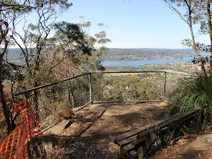
Veer right: From the intersection, this walk follows the track as it goes gently up the hill, immediately bending to the right. The walk meanders through some good scenery for a short distance before reaching the fenced Wannagan Lookout[4], with great views to the north.
Wannagan Lookout
(3km) Wannagan Lookout → Sculpture of Edward John Eyre
Veer left: From the intersection, this walk follows the management trail away from the nearby gate (beside the road). The trail almost immediately bends to the right then meanders for a short distance to the sculpture of Edward John Eyre, on the right.
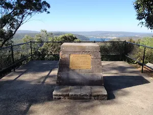
Edward John Eyre
(4km) Sculpture of Edward John Eyre → Int west of 130
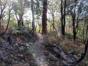
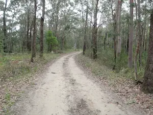
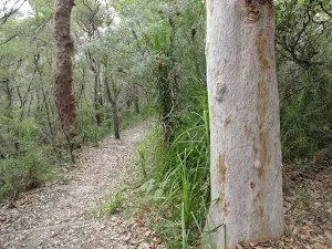
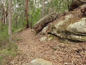
Continue straight: From the intersection, this walk follows the trail north along the management trail, as indicated by the lower arrow on the post. The walk ignores the trails on the left and soon comes to an intersection at another trail (Bradys Gully trail, running steeply down to the left).
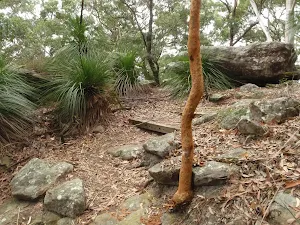
Continue straight: From the intersection, this walk heads east up the hill along the management trail, initially keeping Brady's Gully trail behind and to the left. The trail winds up the hill and soon comes to a clearing and a 'Y' intersection with a faint track (on the right), just below a rocky outcrop.
(4km) Int west of 130 → 130 Picnic table
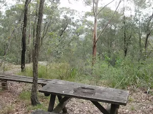
130 Picnic table
(4km) 130 Picnic table → Mouat trail picnic table
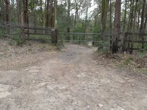
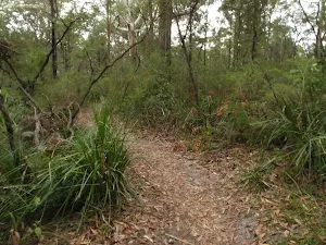
Veer right: From the intersection, this walk follows the management trail east across the saddle then up the hill, soon coming to an intersection just before a locked gate.
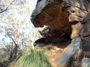
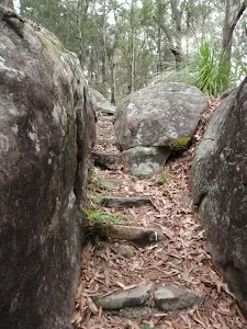
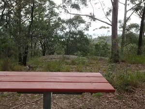
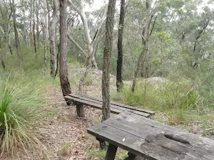
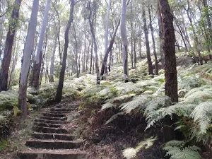
Veer right: From the intersection, this walk follows the track up the steps towards the rocky outcrop, keeping the gate to the left. The track climbs up the rocky outcrop then follows the fence for a short time, to a picnic table and an unfenced view across the valley (on the right).
Mouat trail picnic table
(5km) Mouat trail picnic table → Int of trig track and Toomeys Rd trail
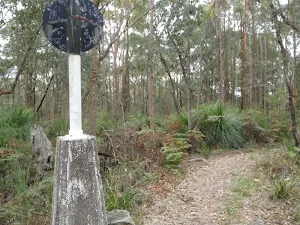
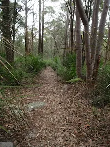
Continue straight: From the gate, this walk follows the wide trail uphill, keeping the fence to the left. The trail follows the fence, steeply at one point, up the hill to a 'Y' intersection with the trig track (on the right), marked with two timber posts.
(5km) Int of trig track and Toomeys Rd trail → Erina Trig
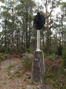
Erina Trig
(5km) Erina Trig → Pond intersection
(6km) Pond intersection → Int of Mouat and Toomeys Rd Trails
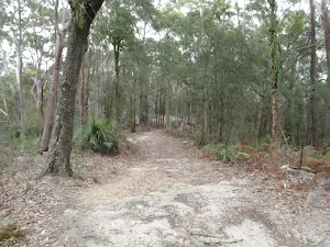
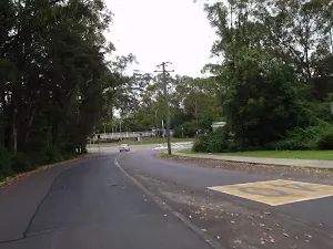
Continue straight: From the intersection, this walk follows the wide trail past the locked gate and fence for the private residence (on the left). After about 250m, the trail passes a stockpile of rocks and dirt (on the left). About 230m past the stockpile, the trail comes to an intersection with the Mouat Trail marked with an arrow post (on the right).
(6km) Int of Mouat and Toomeys Rd Trails → St Johns Lookout car park
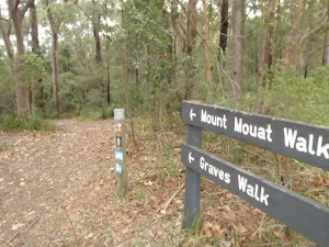
Continue straight: From the intersection, this walk heads away from the face of the 'Graves Walk' sign, passing the post with a lilac strip (keeping the road up the hill to the left). The track winds through the bush to a three-way intersection, with a sign pointing back 'To Rumbalara Reserve'.
Continue straight: From the intersection, this walk follows none of the arrows but heads away from the face of the sign gently uphill, keeping the valley to the right. The track soon opens up into a large clearing, passing the 'Mount Mouat walk' and 'Graves Walk' signs[11] and continuing for about 20m to an intersection with the signposted 'Guringai walk'[12].
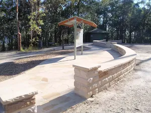
Continue straight: From the intersection, this walk heads through the clearing towards the picnic area, soon coming to the car park and information sign.
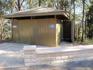
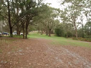
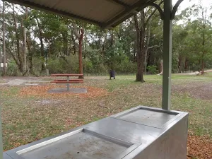
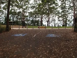
St Johns Lookout picnic area
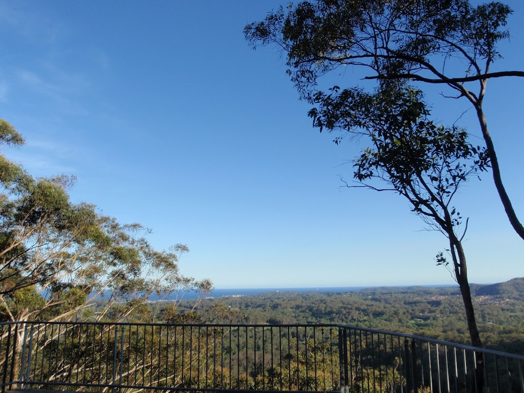
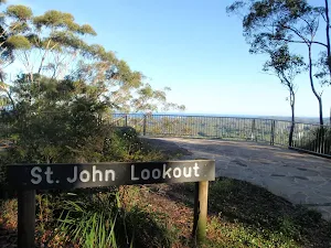
(7km) St Johns Lookout car park → St Johns Lookout
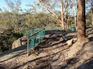
Turn right: From the toilet block, this walk follows the footpath past the information sign to the fenced and signposted 'St Johns Lookout' At the end of this side trip, retrace your steps back to the main walk then Turn sharp right.
St Johns Lookout
(7km) St Johns Lookout car park → End of Taylors Rd (south)
(9km) End of Taylors Rd (south) → Start of Taylors Rd lower trail
Turn right: From the intersection, this walk follows the link track down the hill, initially keeping the fence, then the valley, on the right. The track passes another track (on the right) and soon steps down onto a wide management trail.
Continue straight: From the intersection, this walk heads along the management trail (away from the private properly fence), keeping the valley to the right. The trail winds along the side of the hill until heading around a locked gate and coming to an intersection near 7070 Taylors Rd (north).
(9km) Start of Taylors Rd lower trail → Lisarow Station
Maps for the Gosford to Lisarow walk
You can download the PDF for this walk to print a map.
These maps below cover the walk and the wider area around the walk, they are worth carrying for safety reasons.
| Gosford | 1:25 000 Map Series | 91312S GOSFORD | NSW-91312S |
| Gosford | 1:100 000 Map Series | 9131 GOSFORD | 9131 |
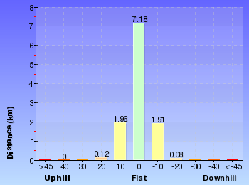
Cross sectional view of the Gosford to Lisarow bushwalking track
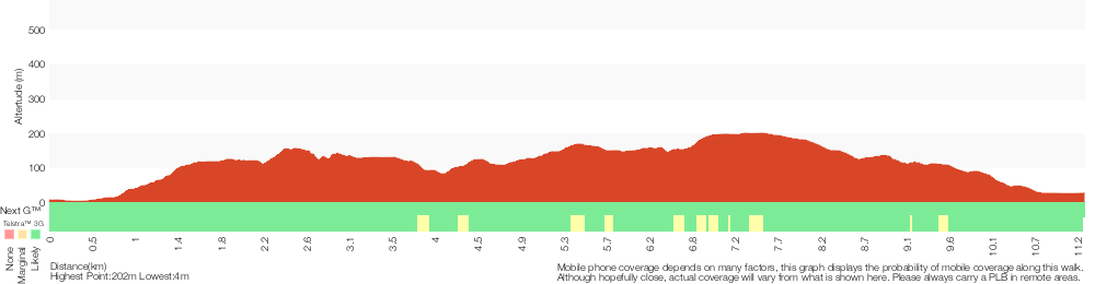
Analysis and summary of the altitude variation on the Gosford to Lisarow
Overview of this walks grade – based on the AS 2156.1 – 2001
Under this standard, a walk is graded based on the most difficult section of the walk.
| Length | 11.3 km | ||
| Time | 4 hrs 30 mins | ||
| . | |||
Grade 4/6 Hard track | AS 2156.1 | Gradient | Short steep hills (3/6) |
| Quality of track | Formed track, with some branches and other obstacles (3/6) | ||
| Signs | Minimal directional signs (4/6) | ||
| Experience Required | Some bushwalking experience recommended (3/6) | ||
| Weather | Weather generally has little impact on safety (1/6) | ||
| Infrastructure | Limited facilities, not all cliffs are fenced (3/6) |
Some more details of this walks Grading
Here is a bit more details explaining grading looking at sections of the walk
Gradient
8km of this walk has gentle hills with occasional steps and another 3.2km has short steep hills. The remaining (80m) is flat with no steps.
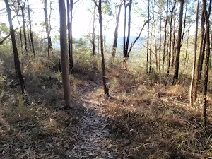
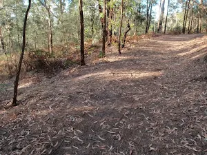
Quality of track
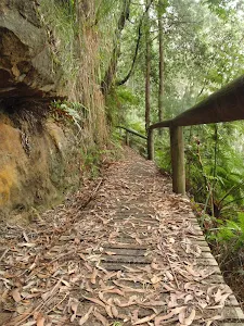
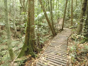
4.2km of this walk follows a clear and well formed track or trail and another 3.8km follows a formed track, with some branches and other obstacles. The remaining (3.3km) follows a smooth and hardened path.
Signs
6km of this walk is clearly signposted and another 4.6km has directional signs at most intersection. The remaining (1.1km) has minimal directional signs.
Experience Required
Around 8km of this walk requires no previous bushwalking experience, whilst the remaining 2.9km requires some bushwalking experience.
weather
This whole walk, 11km is not usually affected by severe weather events (that would unexpectedly impact safety and navigation).
Infrastructure
Around 9km of this walk is close to useful facilities (such as fenced cliffs and seats), whilst the remaining 1.8km has limited facilities (such as not all cliffs fenced).
Similar walks
A list of walks that share part of the track with the Gosford to Lisarow walk.
St Johns Lookout
166 m Return, 10 mins
Very easy
Tottenham Place to Wannagan Lookout
900 m Return, 30 mins
Hard track
Guringai Walk
1.2 km Circuit, 45 mins
Moderate track
Red Gum Walk
1.4 km Circuit, 45 mins
Hard track
Graves Walk
1.5 km One way, 45 mins
Moderate track
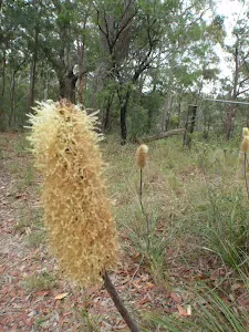
Flannel Flower Track
1.6 km Circuit, 45 mins

Moderate track
Ironbark and Flannel Flower circuit
2.1 km Circuit, 1 Hr
Moderate track
Ouraka Point loop
2.1 km Circuit, 1 hr 15 mins
Hard track
Rainforest walk to Nurrunga picnic area
2.2 km One way, 1 Hr
Hard track
Toomeys Walk
2.9 km One way, 1 hr 30 mins
Moderate track
John Whiteway Dr to Tottenham Pl
3 km One way, 1 hr 30 mins
Hard track
Rainforest Walk
3 km Return, 1 hr 30 mins
Hard track
Upper Rumbalara circuit
3.3 km Circuit, 1 hr 30 mins
Hard track
Mouat Trail (Katandra to Rumbalara)
4.1 km One way, 2 hrs
Hard track
Katandra Circuit
4.8 km Circuit, 2 hrs 15 mins
Moderate track
Katandra Reserve Explorer
5.3 km Circuit, 2 hrs 45 mins
Moderate track
Rumbalara Explorer
6.1 km Circuit, 2 hrs 45 mins
Hard track
Matcham to Gosford
8.5 km One way, 3 hrs 45 mins
Hard track
Other Nearby walks
A list of walks that start near the Gosford to Lisarow walk.
Ironbark Loop
643 m Circuit, 30 mins
Moderate track
White St firetrail
991 m One way, 30 mins
Moderate track
White St Rainforest loop
1.7 km Circuit, 45 mins
Moderate track
Strangler Fig Walk
2 km Return, 1 Hr
Moderate track
Seymour Pond
890 m Return, 30 mins
Easy track
Watermans Walk
1.6 km Circuit, 45 mins
Easy track
Girrakool to Patonga
24.8 km One way, 10 hrs
Hard track
Girrakool to Patonga Overnight
24.8 km One way, 2 Days
Hard track
Girrakool to Staples Lookout via Kariong Brook Falls
12.3 km One way, 5 hrs 30 mins
Hard track
Girrakool to Wondabyne station
9.5 km One way, 4 hrs
Hard track
Girrakool to Wondabyne station via Pindar caves
18.1 km One way, 7 hrs 30 mins
Experienced only
Girrakool to Woy Woy station via Mt Wondabyne
20.7 km One way, 8 hrs 30 mins
Hard track
Plan your trip to and from the walk here
The Gosford to Lisarow walk starts at the Gosford Station (gps: -33.423480, 151.34176)
The Gosford to Lisarow ends at the Lisarow Station (gps: -33.382180, 151.37018)
Weather Forecast
This walk starts in the Hunter weather district.
Current Alerts
Park Information
Katandra Reserve
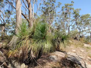
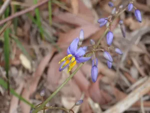
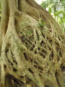
The Katandra Reserve is a protected area of bushland east of Gosford City and north of Erina. The area is part of the Hornsby Sandstone Plateau and is home to some diverse flora and fauna. There are two main picnic areas and a few great walking and horse riding tracks in the reserve as well as the St Johns Lookout. Katandra is an aborginal word meaning 'Song of Birds', the name suits this place well, with the diverse forest been home to many birds happy to share their songs with walkers.
Rumbalara Reserve
The Rumbalara Reserve is a protected area of bushland just to the east of Gosford City. The area is part of the Hornsby Sandstone Plateau and is home to some diverse flora and fauna. There are some good picnic areas and great walking in the reserve. Rumbalara is an aborginal word meaning 'rainbow', the name suits this place well, with its great range of colour in the rock and plants.
Comments
Short URL: http://wild.tl/gtl