Strickland Tour

Strickland State Forest
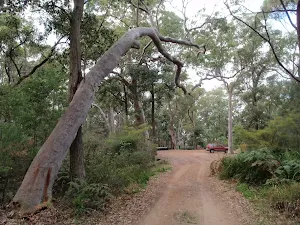
(0km) Banksia car park → Banksia picnic area
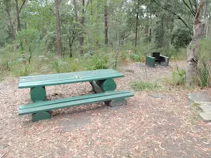
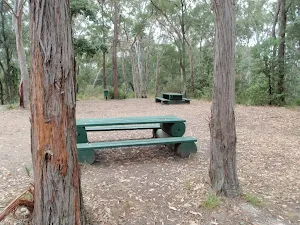
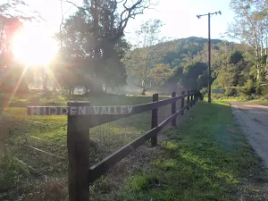
Banksia Picnic Area
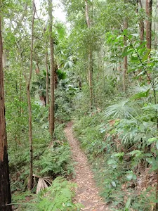
(0km) Banksia picnic area → Int of Cabbage Tree and Stoney Creek trails
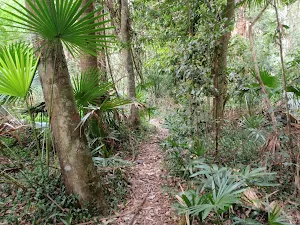
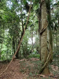
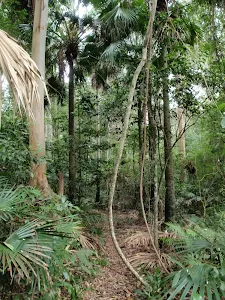
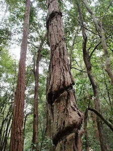
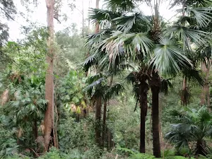
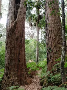
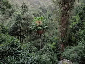
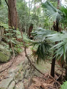
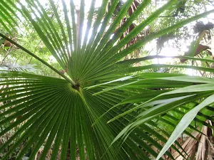
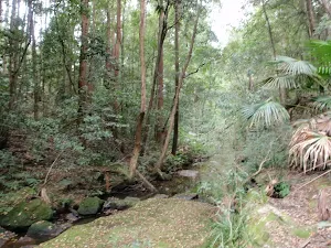
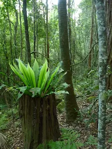
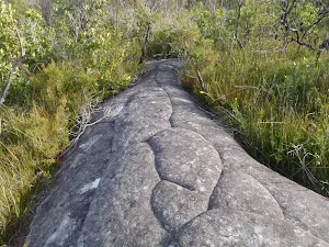
Cabbage-Tree Palm
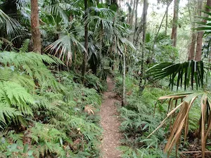
(1km) Int of Cabbage Tree and Stoney Creek trails → Int of Stoney Creek and Bellbird trails
(2km) Int of Stoney Creek and Bellbird trails → Arboretum junction
(3km) Arboretum junction → North int of Arboretum Loop and Bellbird trail
Continue straight: From the intersection, the walk follows the old management trail away from the suspension bridge. The walk soon arrives at the intersection signposted 'Arboretum Loop Trail'.
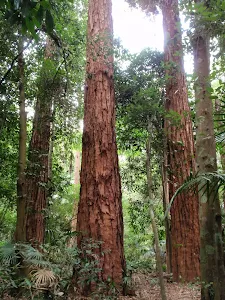
Strickland State Forest Arboretum
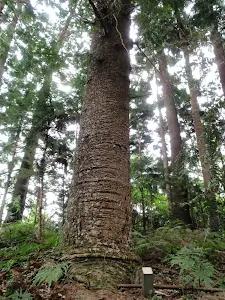
(3km) North int of Arboretum Loop and Bellbird trail → Bunya pine grove
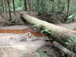
(3km) Bunya pine grove → Bellbird Narara crossing
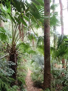
Turn left: From the intersection, the walk follows the 'Bellbird Trail' arrow along the bush track, going up the hill. There are some track markers on short brown posts in this area, although they are often obscured in the undergrowth. The narrow, and sometimes faint, bush track goes through vine filled forest for a short distance to a 'T' intersection marked with a number of arrows.
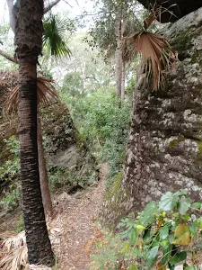
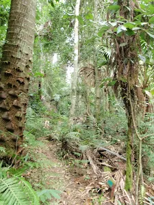
Turn left: From the intersection, the walk follows the bush track, in the opposite direction to the arrow on the tree, following the short brown arrow post. The walk follows the narrow bush track for some time through beautiful forest, filled with cabbage palms, ferns and vines. Narara Creek is often visible just to the right. After a while, the walk arrives at some concreted steps just before crossing Narara Creek.
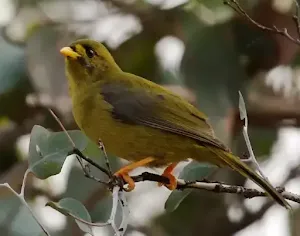
Bellbirds
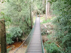
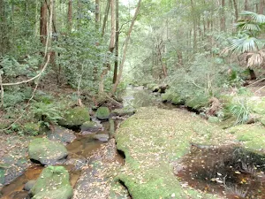
Bellbird Trail Narara crossing
(4km) Bellbird Narara crossing → Int of Cabbage Tree and Strickland Falls trails
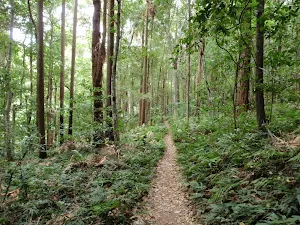
Turn left: From the intersection, the walk follows the 'Return To Carpark' arrow along the old management trail, going up the hill. The trail meanders through shaded forest, filled with cabbage palms, for some time before crossing Stoney Creek to an intersection signposted 'Stoney Creek Walk Trail'.
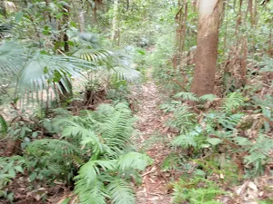
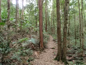
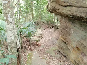
Turn left: From the intersection, the walk follows the 'Stoney Creek Walk Trail' arrow along the bush track, keeping the creek to the left. The walk passes a 'Rainforests and Preservation' information sign, then gently climbs through forest filled with ferns and cabbage palms for some time before reaching the intersection, signposted 'Stoney Creek Trail'.
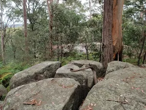
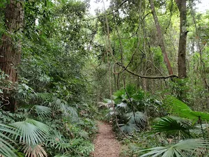
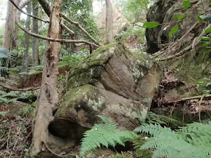
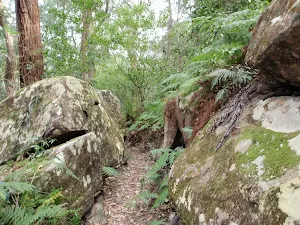
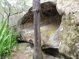
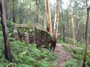
Turn left: From the intersection, the walk follows the 'Cabbage Tree Trail' arrow along the bush track, going up the hill. This section of the walk passes through forest filled with cabbage palms and ferns. The walk also passes some interesting boulders, before reaching an intersection, signposted 'Strickland Falls Trail'.
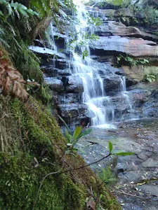
(7km) Int of Cabbage Tree and Strickland Falls trails → Strickland Falls
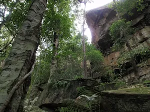
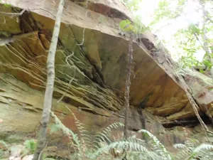
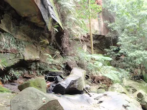
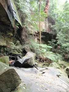
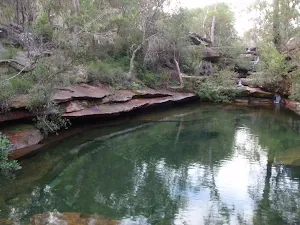
Strickland Falls
(7km) Strickland Falls → Int of Strickland Falls trail and Strickland Rd
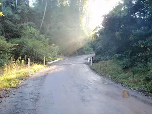
(8km) Int of Strickland Falls trail and Strickland Rd → Banksia car park
Maps for the Strickland Tour walk
You can download the PDF for this walk to print a map.
These maps below cover the walk and the wider area around the walk, they are worth carrying for safety reasons.
| Gosford | 1:25 000 Map Series | 91312S GOSFORD | NSW-91312S |
| Wyong | 1:25 000 Map Series | 91312N WYONG | NSW-91312N |
| Gosford | 1:100 000 Map Series | 9131 GOSFORD | 9131 |
Cross sectional view of the Strickland Tour bushwalking track
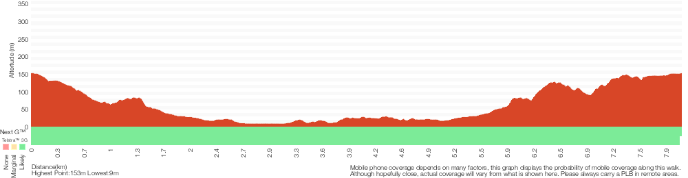
Analysis and summary of the altitude variation on the Strickland Tour
Overview of this walks grade – based on the AS 2156.1 – 2001
Under this standard, a walk is graded based on the most difficult section of the walk.
| Length | 8.1 km | ||
| Time | 3 hrs 30 mins | ||
| . | |||
Grade 3/6 Moderate track | AS 2156.1 | Gradient | Short steep hills (3/6) |
| Quality of track | Formed track, with some branches and other obstacles (3/6) | ||
| Signs | Directional signs along the way (3/6) | ||
| Experience Required | Some bushwalking experience recommended (3/6) | ||
| Weather | Storms may impact on navigation and safety (3/6) | ||
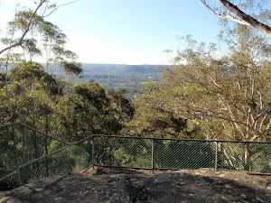
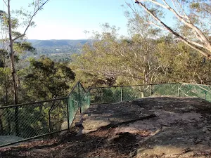
| Infrastructure | Limited facilities, not all cliffs are fenced (3/6) |
Some more details of this walks Grading
Here is a bit more details explaining grading looking at sections of the walk
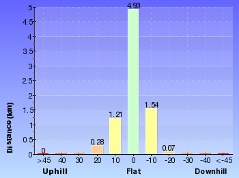
Gradient
7km of this walk has gentle hills with occasional steps and another 460m is flat with no steps. The remaining (340m) has short steep hills.
Quality of track
Around 6km of this walk follows a formed track, with some branches and other obstacles, whilst the remaining 2.3km follows a clear and well formed track or trail.
Signs
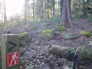
This whole walk, 8km has directional signs at most intersection.
Experience Required
Around 4.2km of this walk requires no previous bushwalking experience, whilst the remaining 3.8km requires some bushwalking experience.
weather
Around 6km of this walk is not usually affected by severe weather events (that would unexpectedly impact safety and navigation), whilst the remaining 2.3km is affected by storms that may impact your navigation and safety.
Infrastructure
Around 8km of this walk has limited facilities (such as not all cliffs fenced), whilst the remaining 270m is close to useful facilities (such as fenced cliffs and seats).
Similar walks
A list of walks that share part of the track with the Strickland Tour walk.
Strickland Falls
1.7 km Return, 45 mins
Moderate track
Cabbage Tree Trail
1.7 km Circuit, 1 Hr
Moderate track
Strickland Falls Loop Trail
1.8 km Circuit, 1 Hr
Moderate track
Stoney Creek Trail
2.2 km One way, 1 Hr
Moderate track
Arboretum Loop Trail
2.3 km Circuit, 1 Hr
Moderate track
Strickland Falls and Cabbage Tree loop
3 km Circuit, 1 hr 30 mins
Moderate track
Bellbird Trail
3.3 km Circuit, 1 hr 15 mins
Moderate track
Other Nearby walks
A list of walks that start near the Strickland Tour walk.
Somersby Store to Ourimbah Valley Trackhead
6 km One way, 2 hrs 30 mins
Hard track
Somersby Store to Greta Road
21.1 km One way, 8 hrs
Hard track
Somersby to the Basin Campsite
47.4 km One way, 3 Days
Hard track
Somersby to Yarramalong via Stringy Bark Point
26.7 km One way, 2 Days
Hard track
Somersby Falls
426 m Return, 20 mins
Moderate track
Gosford to Lisarow
11.3 km One way, 4 hrs 30 mins
Hard track
Ironbark Loop
643 m Circuit, 30 mins
Moderate track
Tottenham Place to Wannagan Lookout
900 m Return, 30 mins
Hard track
248 Track
8.3 km Return, 3 hrs 15 mins
Moderate track
Emerald Pool circuit from Ironbark Rd
10.8 km Circuit, 4 hrs 15 mins
Hard track
Ironbark Rd to Glenworth Valley
10.1 km Return, 4 hrs 15 mins
Hard track
Mt Olive
4.4 km Return, 2 hrs
Hard track
Plan your trip to and from the walk here
The Strickland Tour walk starts and ends at the Banksia car park (gps: -33.373310, 151.32253)
Weather Forecast
This walk starts in the Hunter weather district.
Current Alerts
Park Information
Strickland State Forest
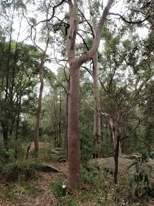
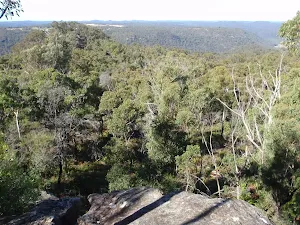
Strickland State Forest is a small pocket of bushland east of the freeway near the Somersby interchange, on the NSW Central Coast. The well signposted entrance from Mangrove Rd has a gate that is unlocked at 7am and is re-locked at 5pm (7pm Nov-March) every day. The forest has a picnic area with wood-fired BBQs and some good walking tracks. The forest is classified as a Flora Reserve and boasts a wonderful transition from dry to wet sclerophyll and then to rainforest as you move deeper into the valleys.
Comments
Short URL: http://wild.tl/29