Nielsen Park and Strickland House loop

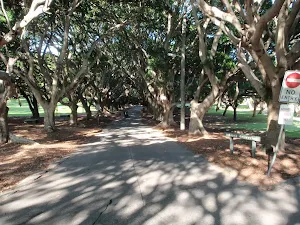
(0km) Greycliffe Ave Car Park → Nielsen Park Cafe
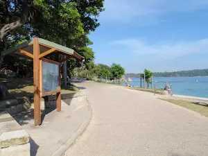
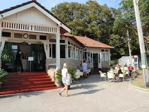
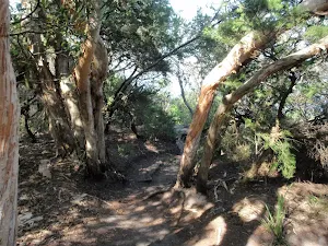
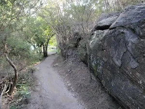
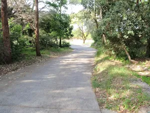
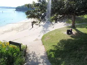
Continue straight: From the intersection, this walk heads towards the water following the wide path[2]. The path soon bends left (near the toilet block, on the right[3]) and heads behind the beach, past the large information sign[4]. Soon the path heads over the 'Dressing Pavilion' tunnel[5] and, ≈50m later, comes to the front of the Nielsen Park Cafe[6] with it's great water views[7].
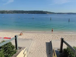
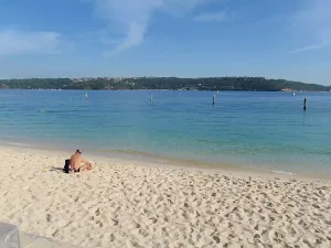
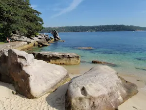
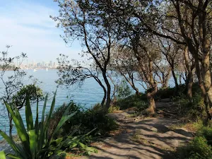
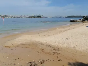
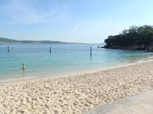
Shark Bay
Nielsen Park Cafe

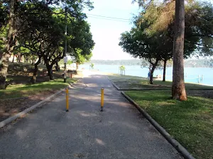
(0km) Nielsen Park Cafe → Western end of Shark Bay
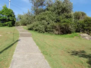
(0km) Western end of Shark Bay → Degaussing range
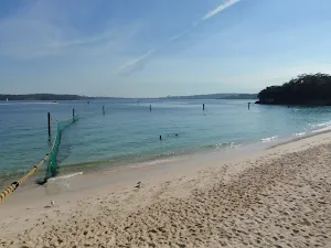
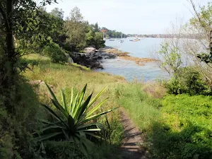
Degaussing range
(0km) Degaussing range → Steele Point Gun Emplacement
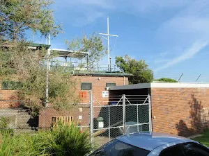
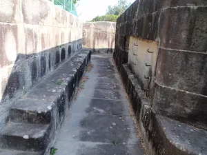
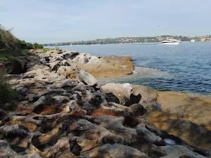
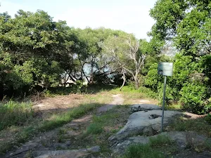
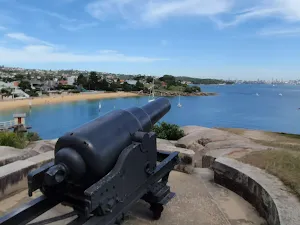
Steele Point Gun Emplacement
(0km) Degaussing range → Steele Point int
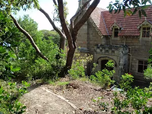
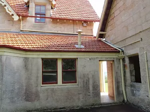
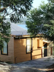
Steele Point Cottage
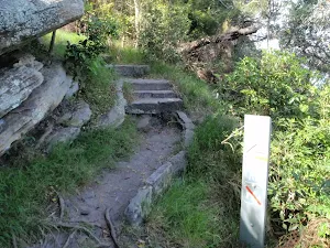
(0km) Steele Point int → Steele Point Lookout
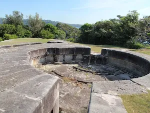
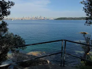
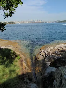
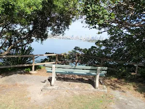
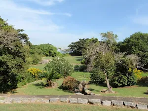
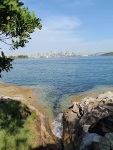
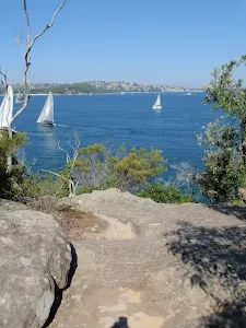
Steele Point Lookout

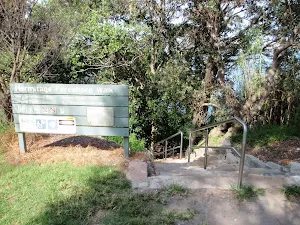
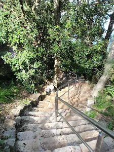
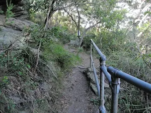
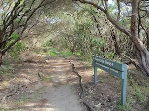
(0km) Steele Point Lookout → Surviving in the City sign int
(1km) Surviving in the City sign int → Milk Beach
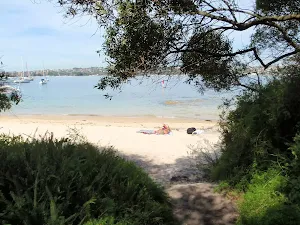
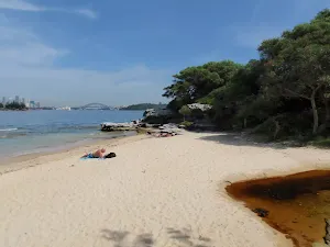
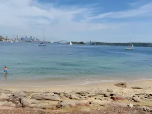
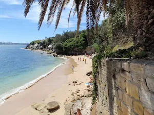
Milk Beach
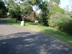
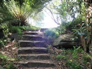
(1km) Milk Beach → Strickland House picnic area
(1km) Strickland House picnic area → Strickland House
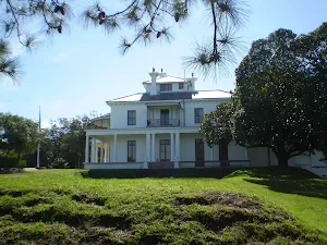
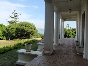
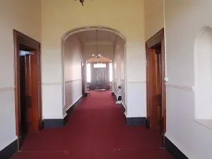
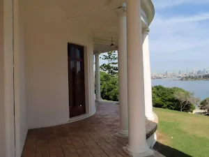
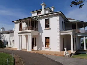
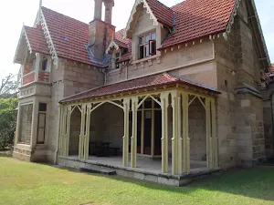
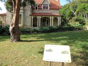
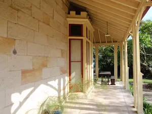
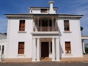
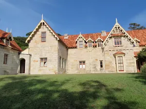
Strickland House
(1km) Strickland House → Top of Strickland House Driveway
(1km) Top of Strickland House Driveway → Boomgate on Vaucluse Rd
(2km) Boomgate on Vaucluse Rd → NP Workshop driveway
(2km) NP Workshop driveway → Greycliffe House
Greycliffe House
(2km) Greycliffe House → Greycliffe Ave Car Park
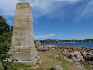
Turn sharp right: From the intersection, this walk follows the flat, wide path, keeping the beach and water to the left. The path soon passes the 'William Albert Notting'[93] and 'Niels R.W. Nielsen, MLA'[94] memorial[95] (on your right) and, not much further along, comes to the front of Nielsen Park Cafe[96].
Continue straight: From Nielsen Park Cafe, this walk heads along the path, keeping the beach and water to your left. After ≈50m, the path heads over the 'Dressing Pavilion' tunnel[97] and soon passes a large information sign[98]. At the sign, the path bends right and then comes to a four-way intersection near a large number of garbage bins[99].
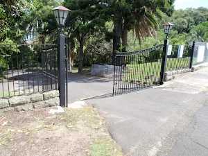
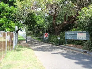
Continue straight: From the intersection, this walk follows the wide sealed path (driveway) directly away from the water, past the garbage bins. The path soon leads past the 'Sydney Harbour National Park' sign[100] and through the gate to Greycliff Ave.
Maps for the Nielsen Park and Strickland House loop walk
You can download the PDF for this walk to print a map.
These maps below cover the walk and the wider area around the walk, they are worth carrying for safety reasons.
| Sydney Heads | 1:25 000 Map Series | 91302N SYDNEY HEADS | NSW-91302N |
| Sydney | 1:100 000 Map Series | 9130 SYDNEY | 9130 |
Cross sectional view of the Nielsen Park and Strickland House loop bushwalking track
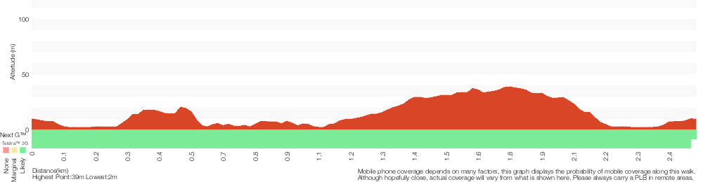
Analysis and summary of the altitude variation on the Nielsen Park and Strickland House loop
Overview of this walks grade – based on the AS 2156.1 – 2001
Under this standard, a walk is graded based on the most difficult section of the walk.
| Length | 2.5 km | ||
| Time | 1 Hr | ||
| . | |||
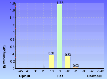
Grade 3/6 Moderate track | AS 2156.1 | Gradient | Short steep hills (3/6) |
| Quality of track | Formed track, with some branches and other obstacles (3/6) | ||
| Signs | Clearly signposted (1/6) | ||
| Experience Required | No experience required (1/6) | ||
| Weather | Weather generally has little impact on safety (1/6) | ||
| Infrastructure | Generally useful facilities (such as fenced cliffs and seats) (1/6) |
Some more details of this walks Grading
Here is a bit more details explaining grading looking at sections of the walk
Gradient
1.2km of this walk has gentle hills with occasional steps and another 910m is flat with no steps. The remaining (390m) has short steep hills.
Quality of track
1.1km of this walk follows a smooth and hardened path and another 790m follows a clear and well formed track or trail. The remaining (640m) follows a formed track, with some branches and other obstacles.
Signs
This whole walk, 2.5km is clearly signposted.
Experience Required
This whole walk, 2.5km requires no previous bushwalking experience.
weather
This whole walk, 2.5km is not usually affected by severe weather events (that would unexpectedly impact safety and navigation).
Infrastructure
This whole walk, 2.5km is close to useful facilities (such as fenced cliffs and seats).
Similar walks
A list of walks that share part of the track with the Nielsen Park and Strickland House loop walk.
Shakespheres Point loop
661 m Circuit, 15 mins

Easy track
Strickland House and Milk Beach
706 m Return, 25 mins
Easy track
History of Nielsen Park
896 m Return, 20 mins
Easy track
Mt Trefle
1.7 km Circuit, 40 mins
Easy track
Nielsen Park Circuit
1.8 km Circuit, 40 mins
Easy track
Hermitage Foreshore Track
2.2 km One way, 1 Hr
Moderate track
Other Nearby walks
A list of walks that start near the Nielsen Park and Strickland House loop walk.
Queens Beach
108 m Return, 10 mins
Moderate track
Queens Beach to Hermit Point
552 m Return, 20 mins

Moderate track
Bradleys Head Walk
1.7 km Circuit, 1 Hr
Moderate track
Bradleys Head to Chowder Bay walk
2.8 km One way, 1 hr 30 mins
Moderate track
Watsons Bay to Hornby Lighthouse
2.8 km Return, 1 hr 15 mins
Easy track
Gap Bluff Lookout
886 m Return, 30 mins
Hard track
South Head Tour
4.1 km Circuit, 1 hr 45 mins
Hard track
The Gap Bluff and Green Point loop
2.5 km Circuit, 1 Hr
Hard track
Green (Laings) Point Loop
243 m Circuit, 15 mins
Easy track
Chowder Head
548 m Circuit, 20 mins
Moderate track
Camp Cove Cannon
358 m Return, 15 mins
Easy track
Lady Bay Beach
992 m Return, 30 mins
Moderate track
Plan your trip to and from the walk here
The Nielsen Park and Strickland House loop walk starts and ends at the Greycliffe Ave Car Park (gps: -33.850846, 151.26857)
Weather Forecast
This walk starts in the Metropolitan weather district.
Current Alerts
Park Information
Sydney Harbour National Park
One of Sydney's most diverse parks, Sydney Harbour National Park is formed from 11 pockets of harbour islands and shoreline. Highlights include coastal walks and swimming, breath-taking viewpoints, tours of colonial buildings and Aboriginal cave art.
Comments
Short URL: http://wild.tl/npashl