Sydney to Boronia Park
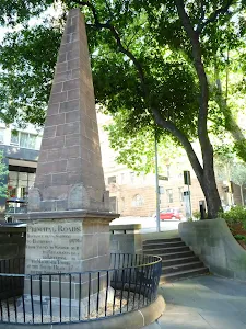
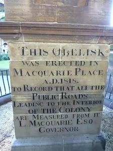
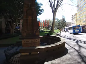
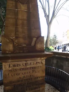
The Obelisk
(0km) The Obelisk → Circular Quay
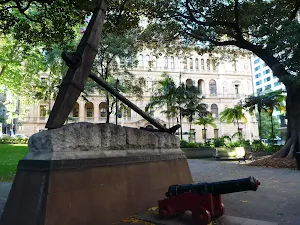
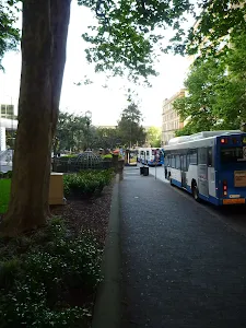
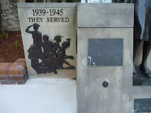
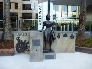
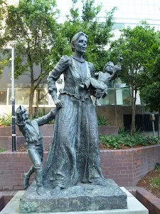
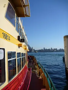
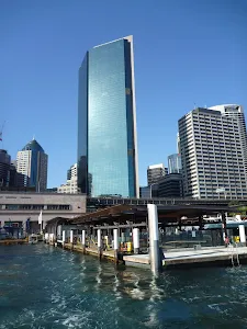
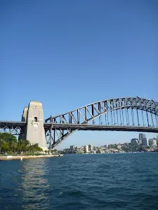
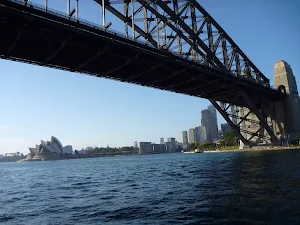
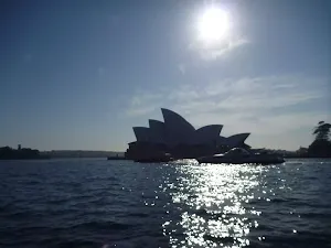
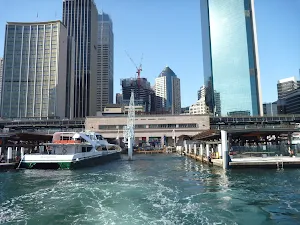
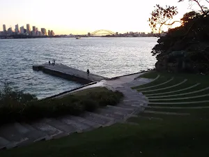
Circular Quay
(0km) Circular Quay → Woolwich Ferry Wharf, Valentia St
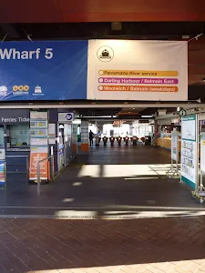
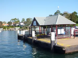
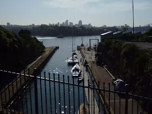
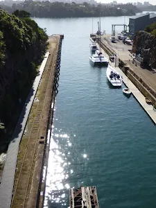
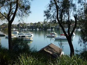
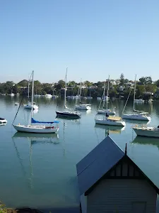
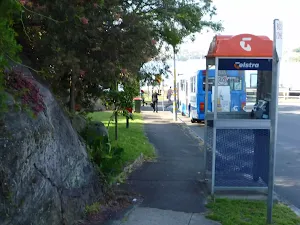
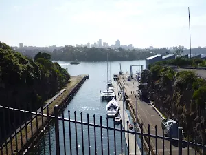
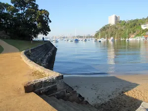
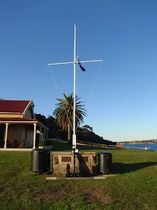
Woolwich Wharf
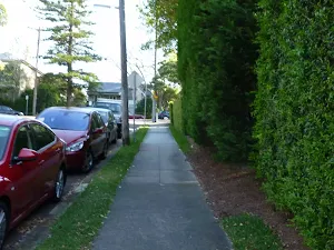
(5km) Woolwich Ferry Wharf, Valentia St → Goat Paddock
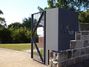
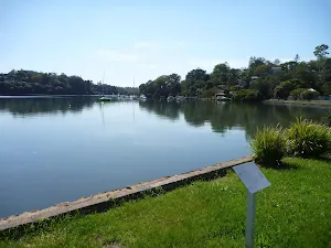
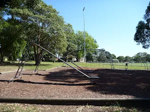
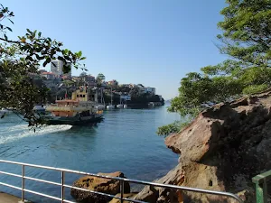
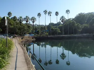
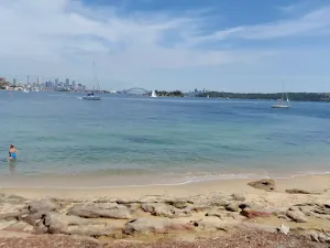
Goat Paddock
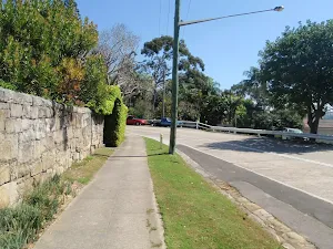
(6km) Goat Paddock → Woolwich Lookout
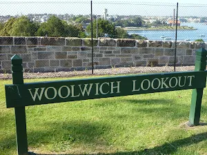
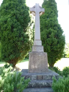
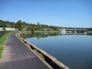
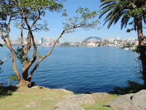
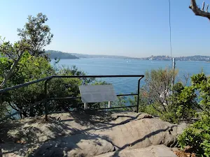
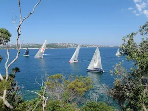
Woolwich Lookout
(6km) Woolwich Lookout → Top of Kellys Bush
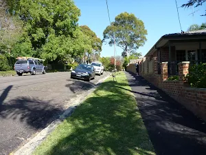
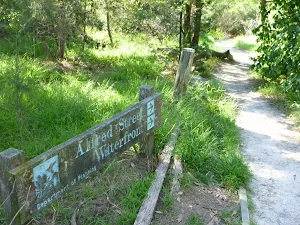
Continue straight: From the end of Alfred St[64], this walk follows the 'Nelson Parade' sign[65] up the sandstone steps[66]. At the top of the steps, this walk turns right, following the 'Picnic Area' sign[67] along the dirt track[68] for about 80m to a three-way intersection just past a bench seat[69]. This walk veers right, following the 'Nelson Parade' sign[70] up the steps[71], passing a 'Kellys bush' information sign[72] at the top of the hill, then leaves the park through a gap in the timber fence[73] to come to a road[74] beside Weil Park[75] (a large playing field[76]).
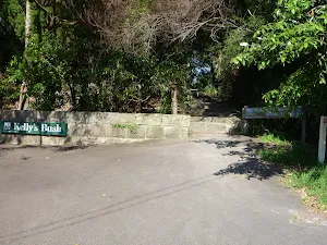
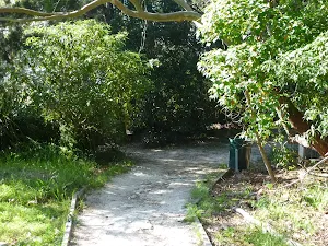
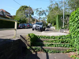
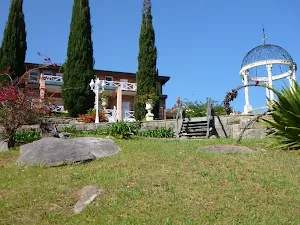
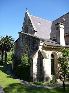
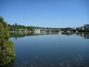
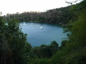
Kellys Bush
(6km) Top of Kellys Bush → Int of Brookes and Vernon Sts
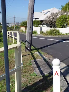
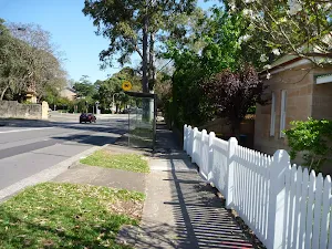
Turn left: From the intersection, this walk follows the GNW arrow west alongside Woolwich Rd[85] for about 100m, then turns right across the road[86] and heads to the end of Serpentine Rd[87]. There are some GNW arrows here and a footpath[88] on the left.
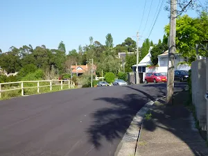
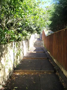
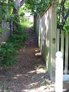
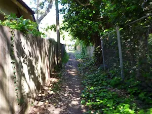
Continue straight: From the end of Serpentine Rd[89], this walk follows the GNW arrows down a few steps[90], then downhill along the footpath[91]. The path soon leads down to Vernon St to turn left[92], following the street for about 30m. Here the walk turns right[93], leading down a pedestrian lane-way[94] and steps[95][96] between two house, coming to 'Mornington Reserve', beside Alexandra Bay on the Lane Cove River[97][98]. Here the walk turns left, leading up along the grassy track reserve behind some houses[99] for about 180m to turn left at a GNW post[100] marking another pedestrian lane-way. The walk heads up this lane-way[101] then up the steps to turn right on Vernon St[102], coming almost immediately to an intersection with Brookes St[103] (on your right).
(7km) Int of Brookes and Vernon Sts → Hunters Hill Shops
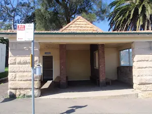
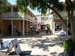
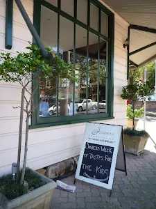
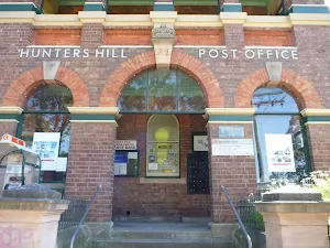
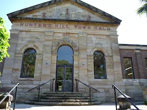
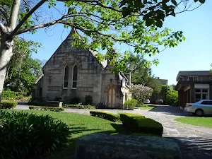
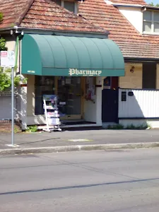
Hunters Hill Shops
(8km) Hunters Hill Shops → Joubert Street Reserve
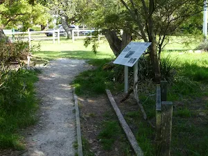
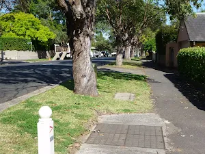
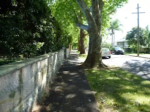
Turn left : From the northern end of Mount St[145], this walk follows the asphalt footpath[146] behind Hunters Hill High School[147], whilst keeping the Lane Cover River[148] to your right. The path leads past a few information signs[149][150], then bends left at the grassy clearing[151] to head up the side of the school. The path leads up a small set of stairs[152] and turns right on Reiby Rd, where the walk follows the road[153] for 100m until the road bends right. Here, the walk crosses the road[154] to follow the GNW arrow[155] up to the right and along the concrete footpath, which leads under under Burns Bay Rd (Fig Tree Bridge)[156]. Just after passing under the bridge, the walk heads left, diagonally up through Joubert Street Reserve to Joubert St[157] (just downhill from the intersection with Figtree Rd).
(10km) Joubert Street Reserve → Boronia Park
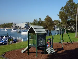
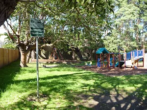
Boronia Park
Maps for the Sydney to Boronia Park walk
You can download the PDF for this walk to print a map.
These maps below cover the walk and the wider area around the walk, they are worth carrying for safety reasons.
| Parramatta River | 1:25 000 Map Series | 91303N PARRAMATTA RIVER | NSW-91303N |
| Sydney | 1:100 000 Map Series | 9130 SYDNEY | 9130 |
Cross sectional view of the Sydney to Boronia Park bushwalking track

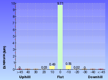
Analysis and summary of the altitude variation on the Sydney to Boronia Park
Overview of this walks grade – based on the AS 2156.1 – 2001
Under this standard, a walk is graded based on the most difficult section of the walk.
| Length | 6 km | ||
| Time | 2 hrs 30 mins | ||
| . | |||
Grade 3/6 Moderate track | AS 2156.1 | Gradient | Gentle hills with occasional steps (2/6) |
| Quality of track | Formed track, with some branches and other obstacles (3/6) | ||
| Signs | Directional signs along the way (3/6) | ||
| Experience Required | No experience required (1/6) | ||
| Weather | Weather generally has little impact on safety (1/6) | ||
| Infrastructure | Generally useful facilities (such as fenced cliffs and seats) (1/6) |
Some more details of this walks Grading
Here is a bit more details explaining grading looking at sections of the walk
Gradient
Around 8km of this walk is flat with no steps, whilst the remaining 2.4km has gentle hills with occasional steps.
Quality of track
8km of this walk follows a smooth and hardened path and another 2.5km follows a clear and well formed track or trail. The remaining (420m) follows a formed track, with some branches and other obstacles.
Signs
Around 10km of this walk is clearly signposted, whilst the remaining 420m has directional signs at most intersection.
Experience Required
This whole walk, 11km requires no previous bushwalking experience.
weather
This whole walk, 11km is not usually affected by severe weather events (that would unexpectedly impact safety and navigation).
Infrastructure
This whole walk, 11km is close to useful facilities (such as fenced cliffs and seats).
Similar walks
A list of walks that share part of the track with the Sydney to Boronia Park walk.
Woolwich Wharf to Boronia Park
5.8 km One way, 2 hrs
Moderate track
Sydney to Thornleigh via Lane Cove Tourist Park
33 km One way, 2 Days
Hard track
Circular Quay to Hornsby
44.4 km One way, 3 Days

Hard track
Other Nearby walks
A list of walks that start near the Sydney to Boronia Park walk.
Harbour Bridge to Taronga Zoo
9.8 km One way, 4 hrs
Moderate track
Cremorne Point Circuit
2.7 km Circuit, 1 hr 15 mins
Easy track
Cremorne Point to Mosman Wharf
2 km One way, 45 mins
Easy track
Cremorne Point to Taronga Zoo
4.2 km One way, 1 hr 45 mins
Moderate track
Robertsons Point Lookout
478 m Return, 15 mins
Easy track
Bradleys Head to Chowder Bay walk
2.8 km One way, 1 hr 30 mins
Moderate track
Bradleys Head Walk
1.7 km Circuit, 1 Hr
Moderate track
Queens Beach
108 m Return, 10 mins
Moderate track
Queens Beach to Hermit Point
552 m Return, 20 mins

Moderate track
Bradleys Head and Chowder Head walk
3.7 km One way, 1 hr 45 mins
Moderate track
Taronga Wharf to Chowder Bay
4.4 km One way, 2 hrs
Moderate track
Taronga Zoo, Bradleys Head to Athol Hall
3 km Circuit, 1 hr 30 mins
Moderate track
Plan your trip to and from the walk here
The Sydney to Boronia Park walk starts at the The Obelisk (gps: -33.863268, 151.21023)
The Sydney to Boronia Park ends at the Boronia Park (gps: -33.827196, 151.13814)
Weather Forecast
This walk starts in the Metropolitan weather district.
Current Alerts
Park Information
Comments
Short URL: http://wild.tl/stbp