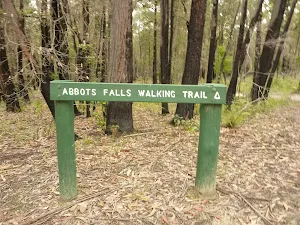
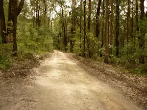
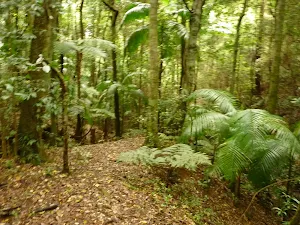
Abbotts Falls Walking Track
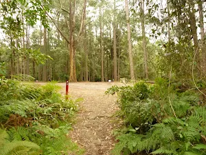
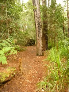
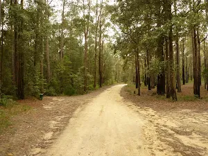
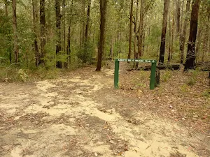
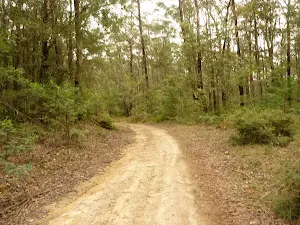
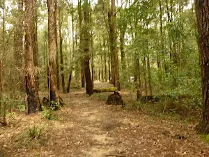
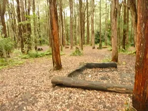
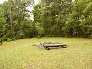
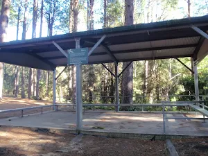
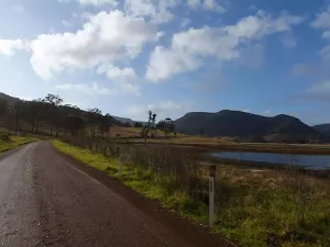
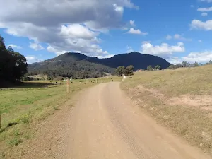
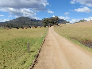
The Pines Camping Area
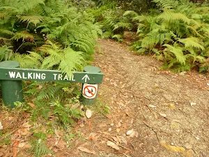
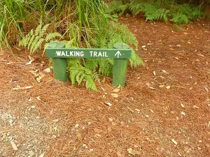
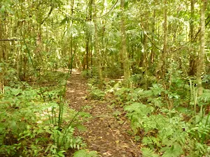
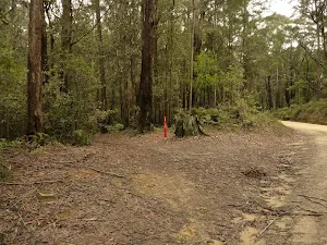
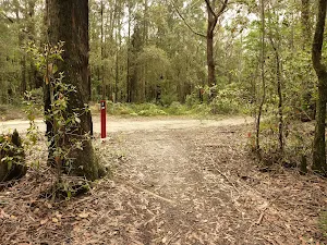
(0km) Pines Camping Area → Int of Pines & Abbotts Falls Track
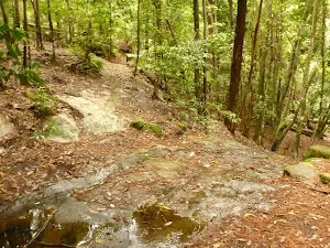
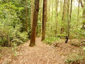
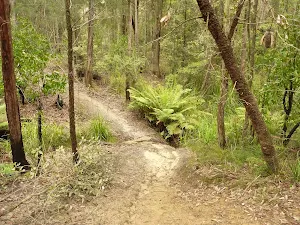
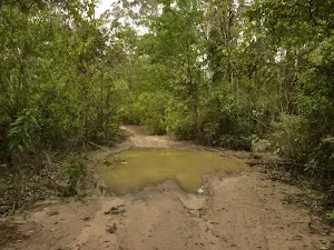
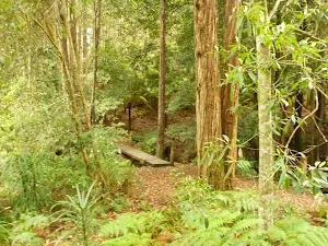
(0km) Int of Pines and Abbotts Falls walking trails → Dammed Pool
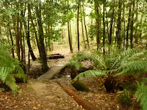
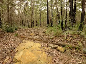
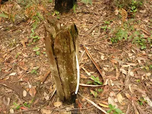
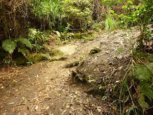
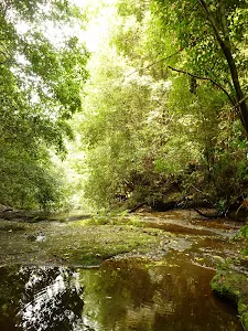
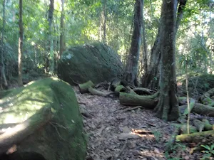
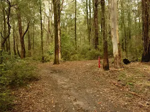
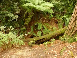
Dammed Pool on the Pines Walking track
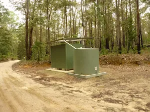
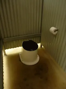
(0km) Int of Pines and Abbotts Falls Track → Pines Picnic Area Toilet Block on Palmers Rd
(1km) Pines Picnic AreaToilet Block on Palmers Rd → Int of Palmers Rd & Abbotts Falls Track
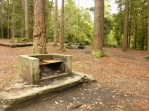
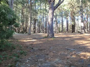
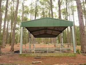
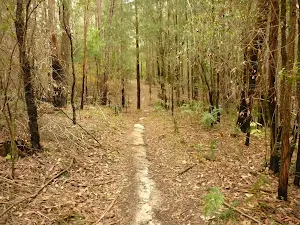
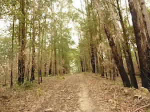
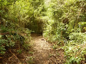
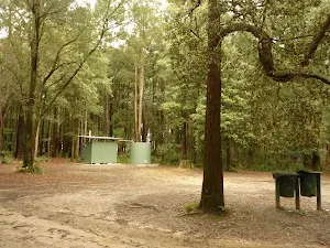
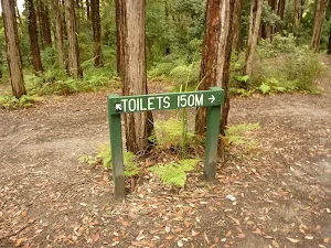
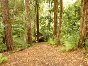
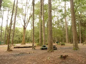
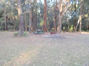
Pines picnic area
(1km) Int of Palmers Road and Abbotts Falls walking trail → Int of Abbotts Falls Track & Howes Rd
(1km) Int of Abbotts Falls walking trail and Howes Road → Int of Abbotts Falls walking trail and Abbotts Road
(2km) Int of Abbotts Falls walking trail and Abbotts Road → End of Abbotts Road
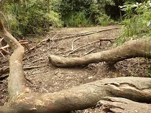
(2km) End of Abbotts Road → Abbotts Falls Track (near Dora Creek)
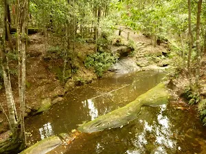
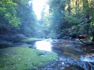
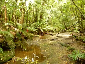
(2km) Abbotts Falls Track (near Dora Creek) → Dora Creek
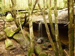
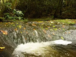
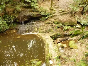
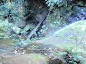
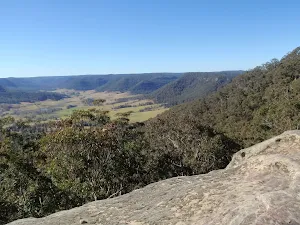
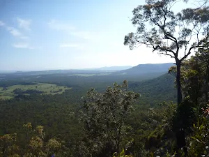
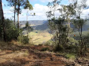
Abbotts Falls
(3km) Dora Creek → Abbotts Falls
(3km) Abbotts Falls → Abbotts Falls service trail
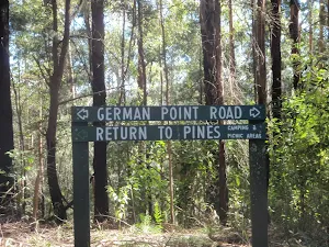
(3km) Abbotts Falls service trail → Int of Abbotts Falls service trail and German Point Road
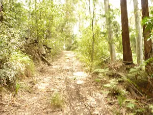
(4km) Int of Abbotts Falls service trail and German Point Road → Int of German Point Road and Watagan Forest Road
(6km) Int of German Point Road and Watagan Forest Road → Int of Abbotts Falls & Casuarina Tracks
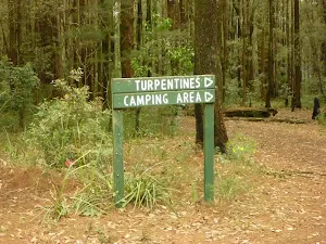
(6km) Int of Abbotts Falls & Casuarina Tracks → Int of Abbotts Falls Track & Turpentine Rd
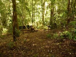
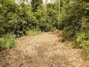
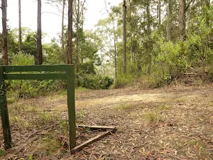
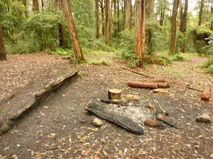
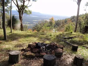
Casuarina Campsite
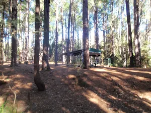
Old Mill picnic area
(7km) Int of Abbotts Falls Track & Turpentine Rd → Turpentine Campsite
Turpentine Campsite
(7km) Turpentine Campsite → Int of Abbotts Falls trail and Pines camping area
Maps for the Abbotts Falls Walking Track walk
You can download the PDF for this walk to print a map.
These maps below cover the walk and the wider area around the walk, they are worth carrying for safety reasons.
| Morisset | 1:25 000 Map Series | 91311N MORISSET | NSW-91311N |
| Gosford | 1:100 000 Map Series | 9131 GOSFORD | 9131 |
Cross sectional view of the Abbotts Falls Walking Track bushwalking track
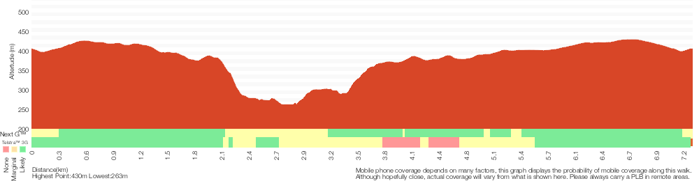
Analysis and summary of the altitude variation on the Abbotts Falls Walking Track
Overview of this walks grade – based on the AS 2156.1 – 2001
Under this standard, a walk is graded based on the most difficult section of the walk.
| Length | 7.3 km | ||
| Time | 3 hrs | ||
| . | |||
Grade 4/6 Hard track | AS 2156.1 | Gradient | Very steep (4/6) |
| Quality of track | Rough track, where fallen trees and other obstacles are likely (4/6) | ||
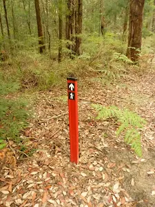
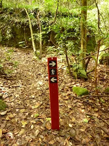
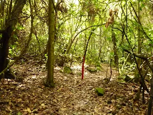
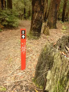
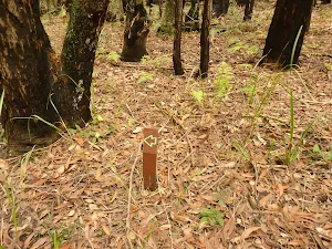
| Signs | Directional signs along the way (3/6) | ||
| Experience Required | Moderate level of bushwalking experience recommended (4/6) | ||
| Weather | Weather generally has little impact on safety (1/6) | ||
| Infrastructure | Limited facilities (such as cliffs not fenced, significant creeks not bridged) (4/6) |
Some more details of this walks Grading
Here is a bit more details explaining grading looking at sections of the walk
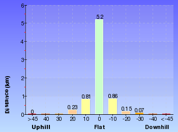
Gradient
4.4km of this walk has gentle hills with occasional steps and another 2.5km has short steep hills. The remaining (400m) is very steep.
Quality of track
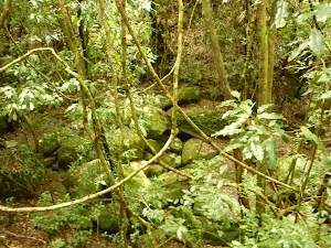
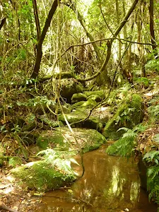
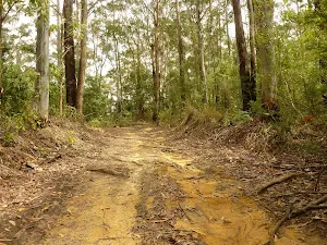
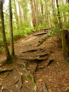
4.3km of this walk follows a clear and well formed track or trail and another 2km follows a formed track, with some branches and other obstacles. The remaining (1km) follows a rough track, where fallen trees and other obstacles are likely.
Signs
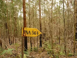
Around 6km of this walk is clearly signposted, whilst the remaining 1.7km has directional signs at most intersection.
Experience Required
5km of this walk requires no previous bushwalking experience and another 2.3km requires some bushwalking experience. The remaining (30m) requires a leader a with moderate level of bushwalking experience.
weather
This whole walk, 7km is not usually affected by severe weather events (that would unexpectedly impact safety and navigation).
Infrastructure
4.5km of this walk is close to useful facilities (such as fenced cliffs and seats) and another 2.8km has limited facilities (such as not all cliffs fenced). The remaining (30m) has limited facilities (such as cliffs not fenced, significant creeks not bridged).
Similar walks
A list of walks that share part of the track with the Abbotts Falls Walking Track walk.
Pines Circuit Walk
1.7 km Circuit, 45 mins
Moderate track
Other Nearby walks
A list of walks that start near the Abbotts Falls Walking Track walk.
Muirs Rainforest Circuit Walk
1.9 km Circuit, 2 hrs 30 mins
Hard track
Muirs Rainforest Walk
1.5 km Return, 1 Hr

Moderate track
Watagan Creek Road to Congewai Valley East Track Head
17.8 km One way, 7 hrs
Hard track
Watagan Creek Road to Flat Rock
4.1 km One way, 2 hrs
Hard track
Watagan Creek Road to Congewai Valley Track Head (West)
12.6 km One way, 5 hrs 30 mins
Hard track
Congewai East Track Head to Watagan Forest Motel via Forestry HQ Campsite
29.7 km One way, 2 Days
Hard track
Congewai Track Head (East) to Watagan Headquarters
17.2 km One way, 7 hrs
Hard track
Monkey Face Cliff Walk
406 m Return, 30 mins

Hard track
Flat Rock to Congewai Valley East Track Head
13.8 km One way, 5 hrs
Hard track
Monkey Face Circuit
1.3 km Circuit, 45 mins

Moderate track
Georges Road Rest Area to 125r Lookout
4.4 km Return, 3 hrs 30 mins
Moderate track
Basin Campsite to Watagan Creek Road
13 km One way, 6 hrs
Hard track
Plan your trip to and from the walk here
The Abbotts Falls Walking Track walk starts and ends at the Pines Camping Area (gps: -33.062918, 151.33661)
Weather Forecast
This walk starts in the Hunter weather district.
Current Alerts
Park Information
Olney State Forest
Only State Forest is a section of mostly native bushland just South of Watagan State forest and National parks
Jilliby State Conservation Area
Watagan State Forest
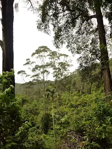
Watagan State Forest is a large section of mostly native bushland west of Lake Macquarie.
Comments
Short URL: http://wild.tl/afwt