Mt Sugarloaf Northern Track
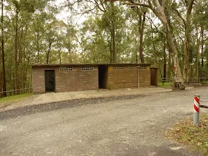
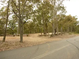
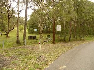
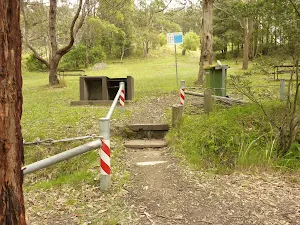
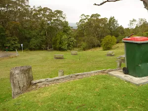
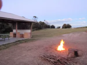
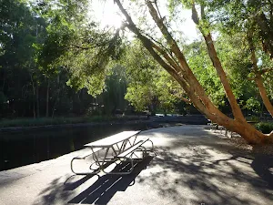
Mount Sugarloaf Car Park
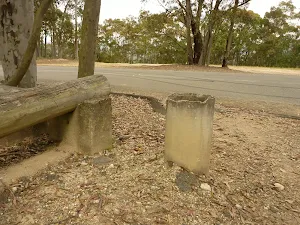
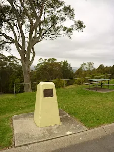
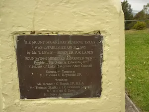
(0km) Mt Sugarloaf Carpark → Yellow Stone Monument
(0km) Int of Mt Sugarloaf Rd & Yellow Stone Monument → Int of Sugarloaf & Northern Rd
(0km) Int of Sugarloaf & Northern Rd → Int of Northern Rd & Green Track
(0km) Int of Northern Rd & Green Track → Int of Green & Blue Tracks
(1km) Int of Green & Blue Tracks → Western Viewpoint
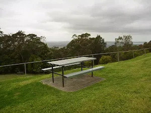
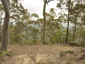
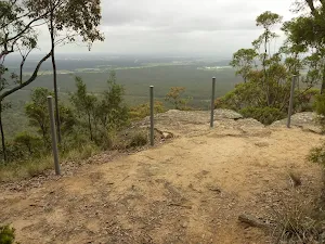
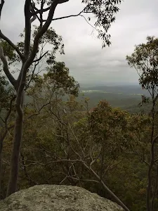
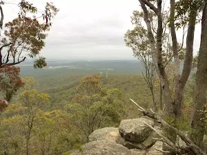
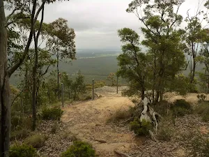
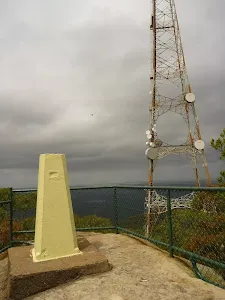
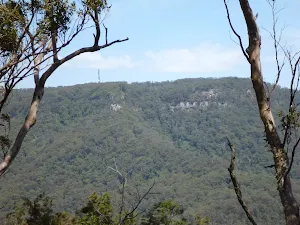
Western viewpoint
(1km) Western Viewpoint → Int of Blue & Northern Picnic Area Tracks
(1km) Int of Blue & Northern Picnic Area Tracks → Int of Blue AND Purple Tracks
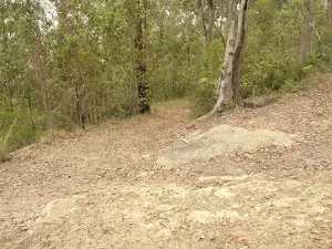
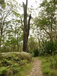
Continue straight: From the white metal track marker[41], this walk follows the track[42] gently downhill (passing a 'cliff warning' sign[43] on your left after about 10m). The wide track is followed for about 190m, until coming to a three-way intersection[44], with a track[45] (on the left).
(2km) Int of Blue & Purple Tracks → Northern Viewpoint
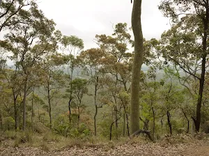
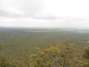
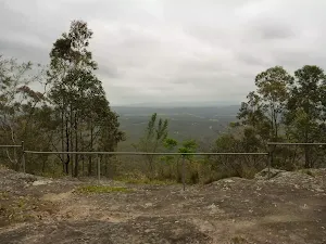
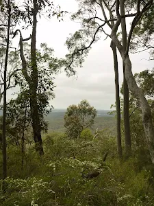
Northern viewpoint
(2km) Int of Blue AND Purple Tracks → Int of Purple AND Lower Mt Sugarloaf Carpark Tracks
(3km) Int of Purple AND Lower Mt Sugarloaf Carpark Tracks → Int of Purple Track AND Lower Mt Sugarloaf Carpark
(3km) Int of Mt Sugarloaf Rd & Lower Mt Sugarloaf Carpark → Int of Mt Sugarloaf & Sugarloaf Range Rd
(4km) Int of Mt Sugarloaf AND Sugarloaf Range Rd → Int of Mt Sugarloaf Rd AND Mt Sugarloaf Picnic Area Track
(4km) Int of Mt Sugarloaf Rd AND Mt Sugarloaf Picnic Area Track → Yellow Stone Monument
(4km) Yellow Stone Monument → Mt Sugarloaf Carpark
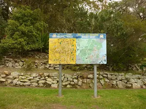
Maps for the Mt Sugarloaf Northern Track walk
You can download the PDF for this walk to print a map.
These maps below cover the walk and the wider area around the walk, they are worth carrying for safety reasons.
| Wallsend | 1:25 000 Map Series | 92323S WALLSEND | NSW-92323S |
| Newcastle | 1:100 000 Map Series | 9232 NEWCASTLE | 9232 |
Cross sectional view of the Mt Sugarloaf Northern Track bushwalking track
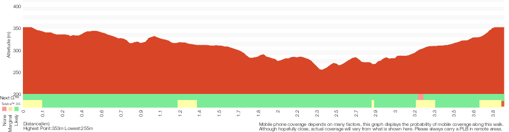
Analysis and summary of the altitude variation on the Mt Sugarloaf Northern Track
Overview of this walks grade – based on the AS 2156.1 – 2001
Under this standard, a walk is graded based on the most difficult section of the walk.
| Length | 3.8 km | ||
| Time | 1 hr 45 mins | ||
| . | |||
Grade 3/6 Moderate track | AS 2156.1 | Gradient | Short steep hills (3/6) |
| Quality of track | Formed track, with some branches and other obstacles (3/6) | ||
| Signs | Directional signs along the way (3/6) | ||
| Experience Required | Some bushwalking experience recommended (3/6) | ||
| Weather | Weather generally has little impact on safety (1/6) | ||
| Infrastructure | Limited facilities, not all cliffs are fenced (3/6) |
Some more details of this walks Grading
Here is a bit more details explaining grading looking at sections of the walk
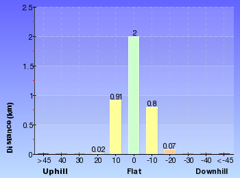
Gradient
Around 3.7km of this walk has gentle hills with occasional steps, whilst the remaining 140m has short steep hills.
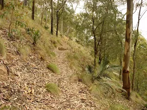
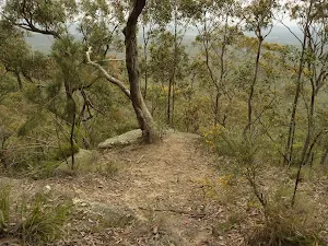
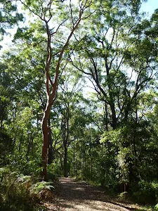
Quality of track
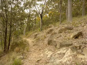
Around 2.3km of this walk follows a clear and well formed track or trail, whilst the remaining 1.5km follows a formed track, with some branches and other obstacles.
Signs
Around 3km of this walk has directional signs at most intersection, whilst the remaining 820m is clearly signposted.
Experience Required
Around 2.7km of this walk requires no previous bushwalking experience, whilst the remaining 1.1km requires some bushwalking experience.
weather
This whole walk, 3.8km is not usually affected by severe weather events (that would unexpectedly impact safety and navigation).
Infrastructure
Around 2.1km of this walk is close to useful facilities (such as fenced cliffs and seats), whilst the remaining 1.8km has limited facilities (such as not all cliffs fenced).
Similar walks
A list of walks that share part of the track with the Mt Sugarloaf Northern Track walk.
Mt Sugarloaf Summit
534 m Return, 30 mins
Moderate track
Mt Sugarloaf Red Track
800 m Circuit, 1 Hr
Moderate track
Mt Sugarloaf Green Track
1.8 km Circuit, 1 hr 30 mins
Moderate track
Other Nearby walks
A list of walks that start near the Mt Sugarloaf Northern Track walk.
Teralba to Charlestown Park track head
13.3 km One way, 4 hrs 30 mins

Moderate track
Teralba to Newcastle via Glenrock Scout Camp
25.7 km One way, 2 Days
Hard track
Heaton Gap to Teralba station
14.8 km One way, 6 hrs
Hard track
Rod Earp Rain Forest Circuit (from Lookout Rd)
1.9 km Circuit, 1 Hr

Moderate track
Forestway Circuit Walk
2.7 km Circuit, 1 Hr

Moderate track
Blackbutt Circuit Walk
6.5 km Circuit, 2 hrs 30 mins
Moderate track
Tall Trees Circuit Walk
2.8 km Circuit, 1 hr 15 mins
Moderate track
Richley Reserve to Carnley Reserve Circuit
2.9 km Circuit, 1 hr 15 mins
Moderate track
Blackbutt Explorer
6 km Circuit, 2 hrs 30 mins

Moderate track
Richley Reserve Circuit
731 m Circuit, 30 mins
Very easy
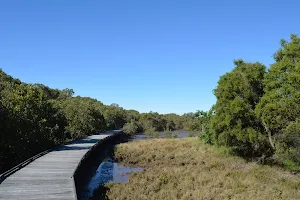
Mangrove Boardwalk to Schoolmasters House
1.2 km Return, 30 mins
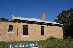
Very easy
The Welcome walk
945 m One way, 30 mins
Easy track
Plan your trip to and from the walk here
The Mt Sugarloaf Northern Track walk starts and ends at the Mt Sugarloaf Carpark (gps: -32.890649, 151.53942)
Weather Forecast
This walk starts in the Hunter weather district.
Current Alerts
Park Information
Heaton State Forest
Boardering Watagan national Park, Heaton State forest is home to many great lookouts. There sre many highpoints with cliff edges giving great views across the Hunter valley and Lake Macquarie.
Comments
Short URL: http://wild.tl/msnt