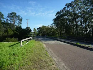
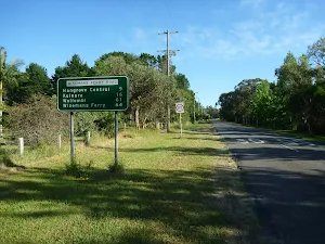
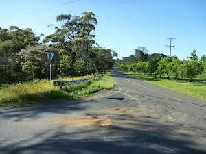
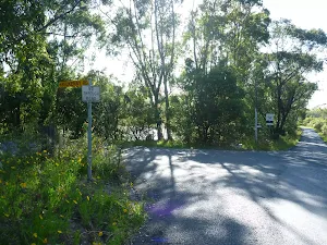
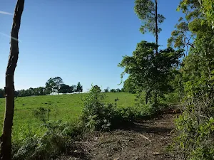
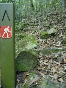
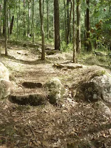
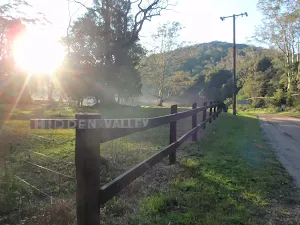
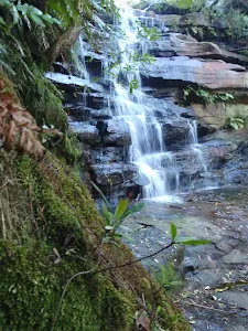
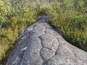
Somersby Store to Ourimbah Valley Trackhead
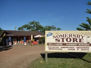
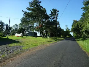
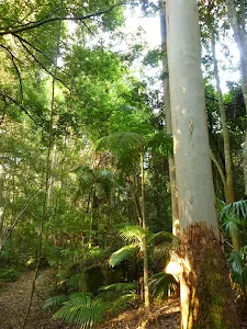
Somersby Store
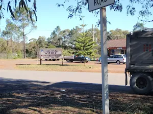
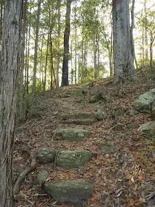
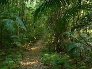
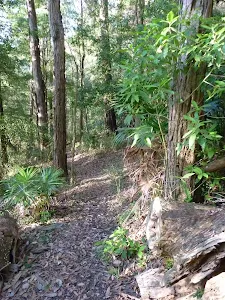
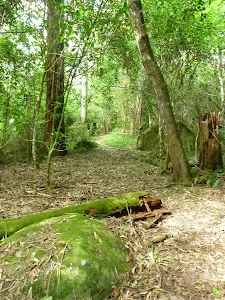
(0km) Somersby Store → End of Kilkenny Road
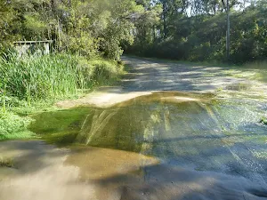
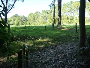
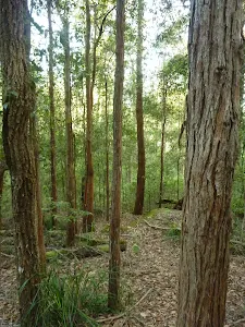
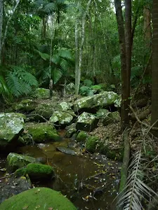
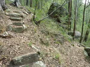
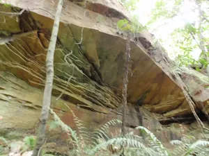
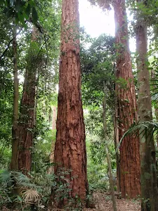
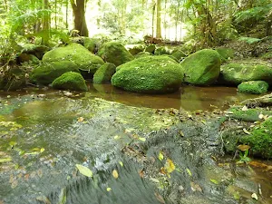
(3km) End of Kilkenny Road → creek crossing
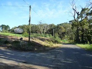
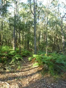
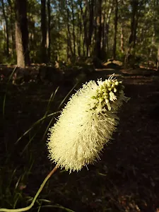
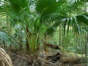
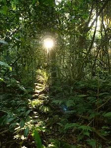
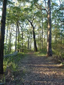
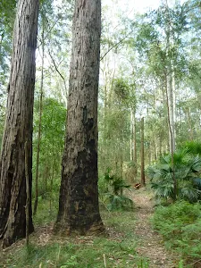
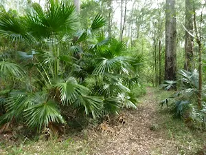
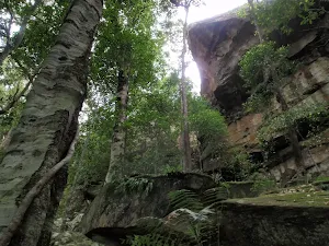
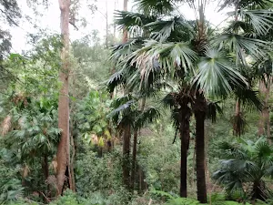
(4km) creek crossing → Palm Grove Campsite intersection
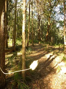
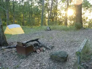
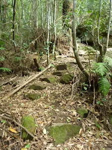
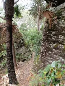
(5km) Palm Grove Campsite intersection → Palm Grove Campsite
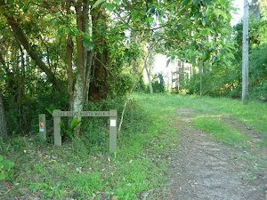
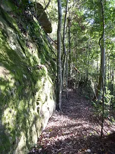
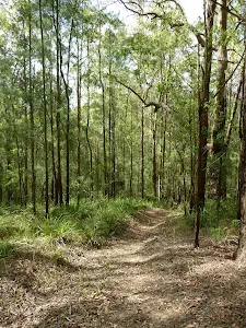
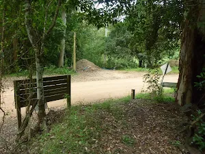
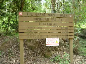
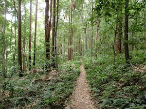
(5km) Palm Grove Campsite intersection → Ourimbah Valley Trackhead
Maps for the Somersby Store to Ourimbah Valley Trackhead walk
You can download the PDF for this walk to print a map.
These maps below cover the walk and the wider area around the walk, they are worth carrying for safety reasons.
| Wyong | 1:25 000 Map Series | 91312N WYONG | NSW-91312N |
| Gosford | 1:100 000 Map Series | 9131 GOSFORD | 9131 |
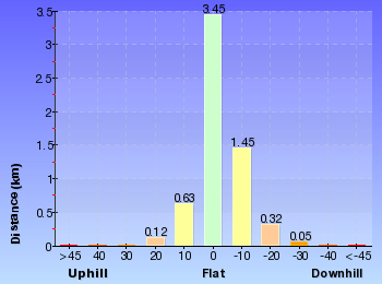
Cross sectional view of the Somersby Store to Ourimbah Valley Trackhead bushwalking track
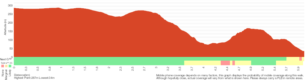
Analysis and summary of the altitude variation on the Somersby Store to Ourimbah Valley Trackhead
Overview of this walks grade – based on the AS 2156.1 – 2001
Under this standard, a walk is graded based on the most difficult section of the walk.
| Length | 6 km | ||
| Time | 2 hrs 30 mins | ||
| . | |||
Grade 4/6 Hard track | AS 2156.1 | Gradient | Very steep (4/6) |
| Quality of track | Rough track, where fallen trees and other obstacles are likely (4/6) | ||
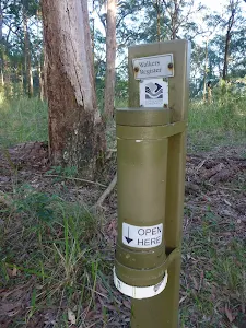
| Signs | Minimal directional signs (4/6) | ||
| Experience Required | Moderate level of bushwalking experience recommended (4/6) | ||
| Weather | Storms may impact on navigation and safety (3/6) | ||
| Infrastructure | Limited facilities (such as cliffs not fenced, significant creeks not bridged) (4/6) |
Some more details of this walks Grading
Here is a bit more details explaining grading looking at sections of the walk
Gradient
Around 3.4km of this walk is very steep, whilst the remaining 2.6km has gentle hills with occasional steps.
Quality of track
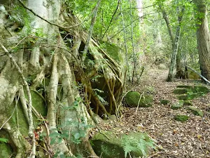
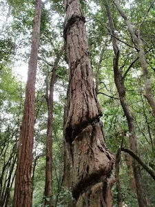
2.6km of this walk follows a smooth and hardened path and another 2.4km follows a rough track, where fallen trees and other obstacles are likely. The remaining (990m) follows a formed track, with some branches and other obstacles.
Signs
2.6km of this walk is clearly signposted and another 2.4km has minimal directional signs. The remaining (990m) has directional signs at most intersection.
Experience Required
2.6km of this walk requires no previous bushwalking experience and another 2.4km requires some bushwalking experience. The remaining (1km) requires a leader a with moderate level of bushwalking experience.
weather
Around 3.4km of this walk is not usually affected by severe weather events (that would unexpectedly impact safety and navigation), whilst the remaining 2.6km is affected by storms that may impact your navigation and safety.
Infrastructure
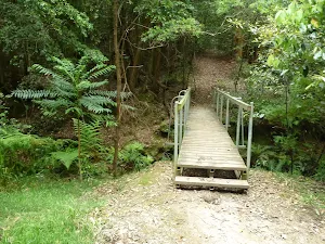
2.6km of this walk is close to useful facilities (such as fenced cliffs and seats) and another 2km has limited facilities (such as not all cliffs fenced). The remaining (1.4km) has limited facilities (such as cliffs not fenced, significant creeks not bridged).
Similar walks
A list of walks that share part of the track with the Somersby Store to Ourimbah Valley Trackhead walk.
Somersby Store to Greta Road
21.1 km One way, 8 hrs
Hard track
Somersby to Yarramalong via Stringy Bark Point
26.7 km One way, 2 Days
Hard track
Somersby to the Basin Campsite
47.4 km One way, 3 Days
Hard track
Other Nearby walks
A list of walks that start near the Somersby Store to Ourimbah Valley Trackhead walk.
Strickland Falls
1.7 km Return, 45 mins
Moderate track
Strickland Falls and Cabbage Tree loop
3 km Circuit, 1 hr 30 mins
Moderate track
Cabbage Tree Trail
1.7 km Circuit, 1 Hr
Moderate track
Stoney Creek Trail
2.2 km One way, 1 Hr
Moderate track
Strickland Falls Loop Trail
1.8 km Circuit, 1 Hr
Moderate track
Strickland Tour
8.1 km Circuit, 3 hrs 30 mins
Moderate track
Arboretum Loop Trail
2.3 km Circuit, 1 Hr
Moderate track
Bellbird Trail
3.3 km Circuit, 1 hr 15 mins
Moderate track
Ourimbah Valley Trackhead to Forest Road
11.2 km One way, 4 hrs 30 mins
Hard track
Ourimbah Valley Trackhead to Greta Road
15 km One way, 5 hrs 30 mins
Hard track
Somersby Falls
426 m Return, 20 mins
Moderate track
248 Track
8.3 km Return, 3 hrs 15 mins
Moderate track
Plan your trip to and from the walk here
The Somersby Store to Ourimbah Valley Trackhead walk starts at the Somersby Store (gps: -33.358078, 151.29029)
The Somersby Store to Ourimbah Valley Trackhead ends at the Ourimbah Valley Trackhead (gps: -33.317429, 151.30013)
Comments
Short URL: http://wild.tl/sstovt